


Primary sourceDocument1612
A Map of Virginia
John Smith · 1612
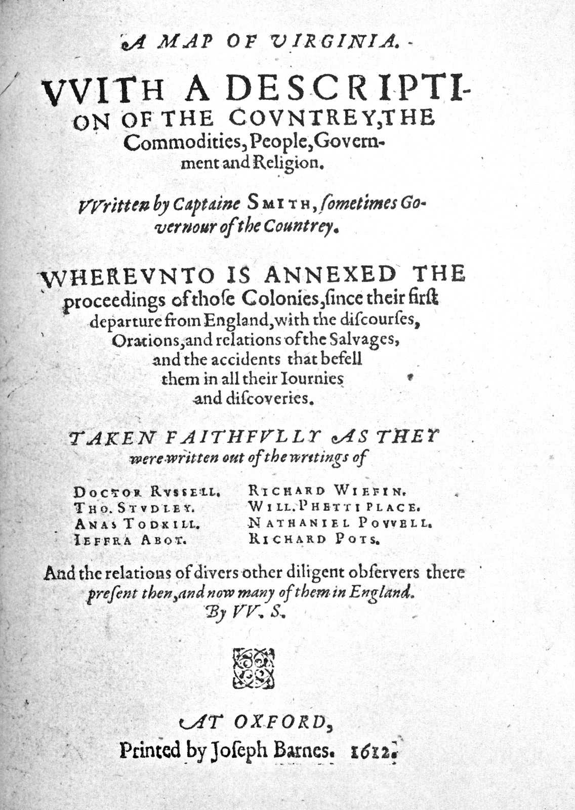
John Smith's 1612 map and account of Virginia, marking Pamunkey lands and the domain ruled by Opechancanough within Tsenacommacah.
The map records the territory of the Pamunkey, part of Opechancanough's domain, as seen through English eyes.
About this source
What it is
This is the title page of A Map of Virginia, with a Description of the Countrey, written by Captain John Smith and printed at Oxford in 1612.
Why it matters
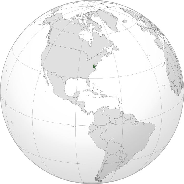
Smith's map and pamphlet were among the first detailed English accounts of the land and peoples of the Chesapeake region. They marked the territory of the Pamunkey, part of the larger network of peoples called Tsenacommacah, ruled in part by Opechancanough. The map shows how English colonists were observing, naming, and claiming Native land for their own purposes.
Look closer
- Why would an English captain publish a map and description of a land he did not live in permanently?
- What does the title page tell you about who the map was meant to impress or inform?
- What is missing from a map made by outsiders describing another people's homeland?
This document is part of the curated material that grounds the AI version of Opechancanough and John Smith on Humy.ai — when students ask about related events, the AI can quote it and cite it.
More Opechancanough sources
Browse all 35 →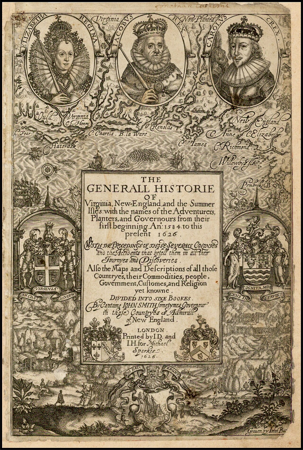 Book
Primary source
The Generall Historie of Virginia, New-England, and the Summer Isles
John Smith · 1624
 Painting
Primary source
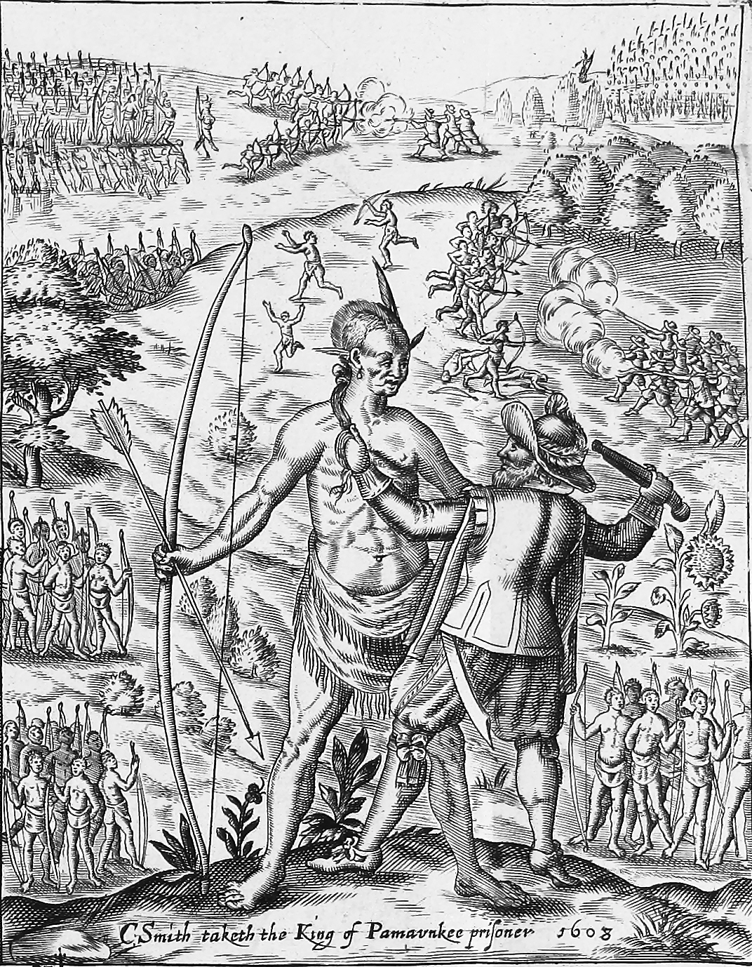
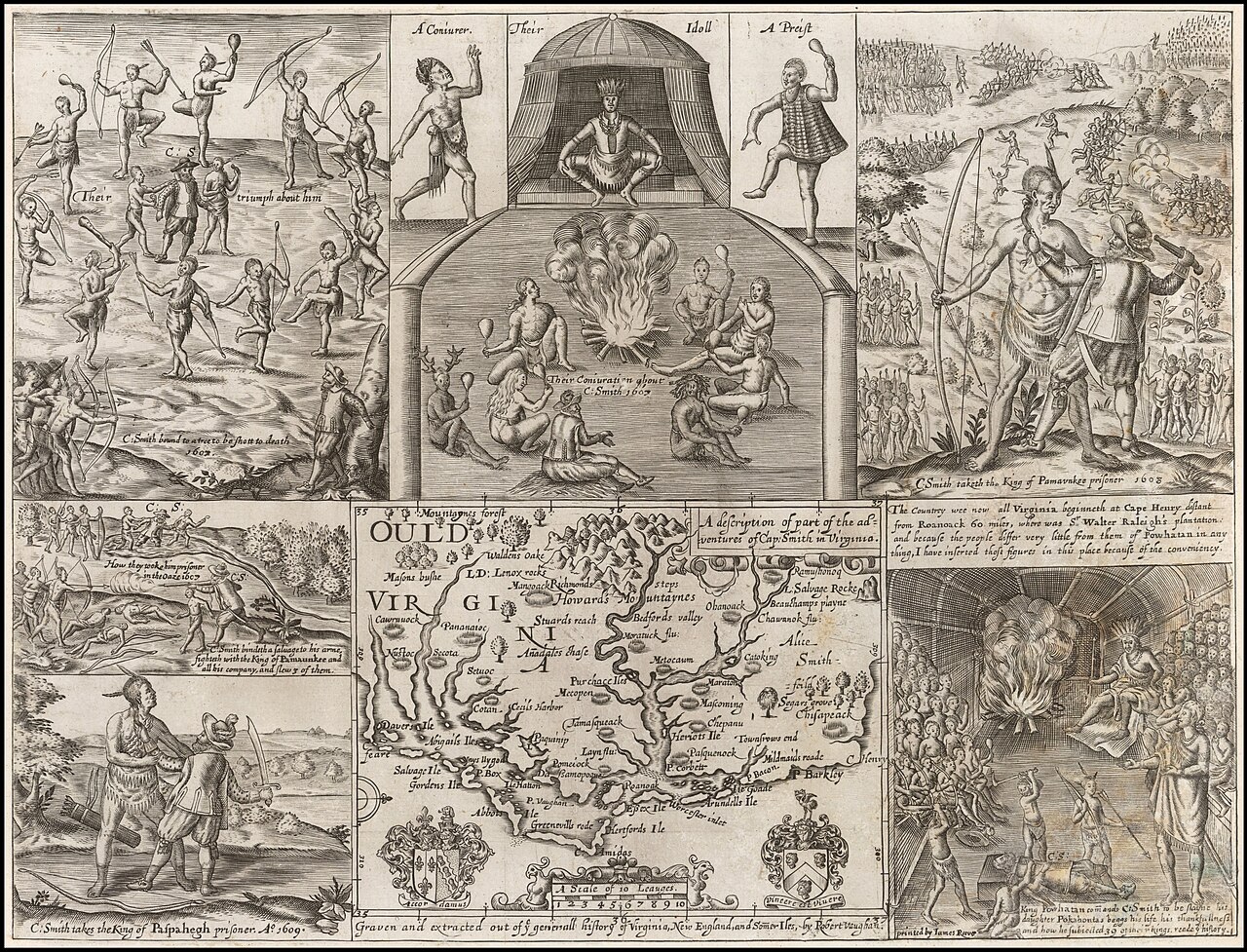
John Smith taking the King of Pamunkee prisoner
Robert Vaughan · 1624
 Book
Primary source
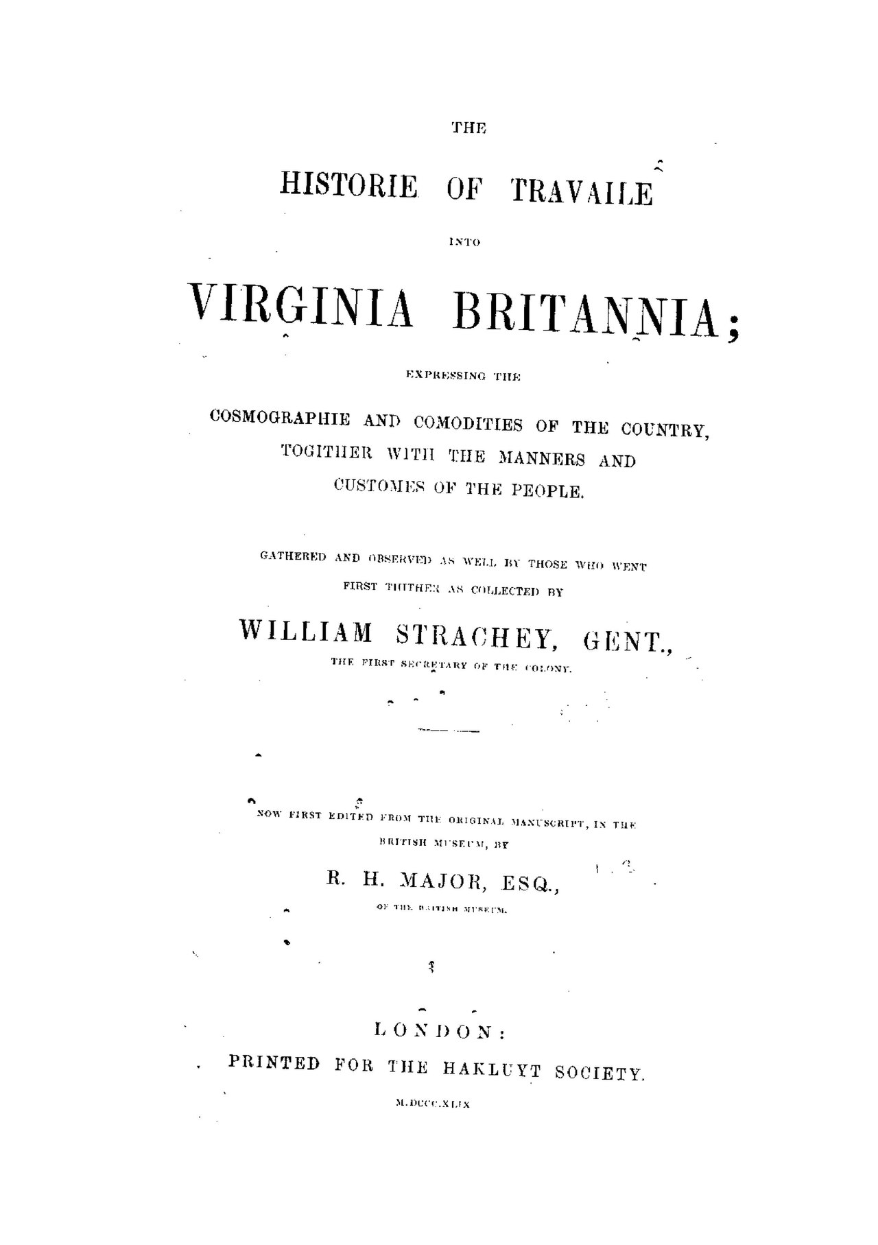
The Historie of Travaile Into Virginia Britannia
William Strachey · c. 1612
 Painting
Secondary source
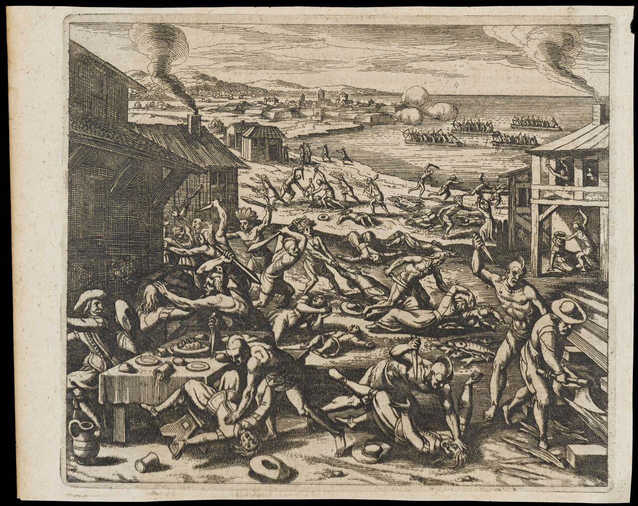
Indians Slaughtering the English Near Jamestown
Gottfried · 1655
Free account
Read every Opechancanough source
Sign up free →
Ready when you are
Start chatting with Opechancanough now.
20 messages free · No credit card · Available in 50+ languages.