


Secondary sourcePhotograph24 June 1993
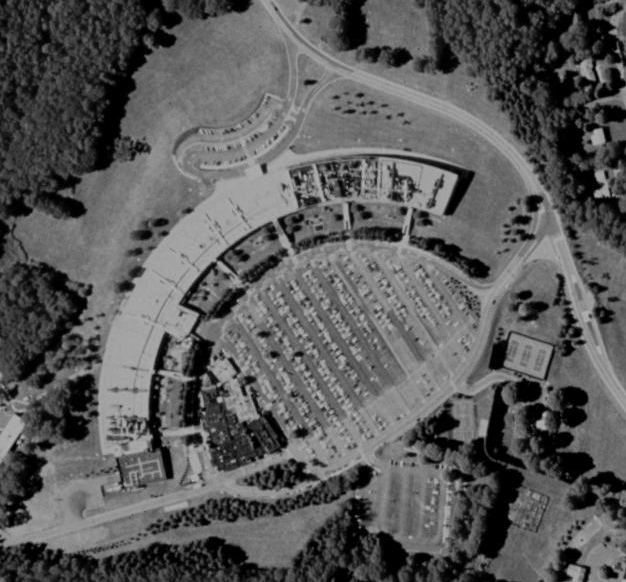
Aerial Image of IBM Thomas J. Watson Research Center
United States Geological Survey · 24 June 1993
A 1993 USGS aerial photograph of the IBM Thomas J. Watson Research Center campus, where Trenchard More worked.
This aerial view shows the campus of the research center where Trenchard More worked.
About this source
What it is
This black-and-white aerial photograph from 1993 was taken by the United States Geological Survey. It shows the curved, crescent-shaped layout of the IBM Thomas J. Watson Research Center campus, surrounded by woods and parking lots.
Why it matters
This image gives a bird's-eye view of the research campus connected to Trenchard More's work in computer science. Aerial surveys like this were often made for mapping and planning purposes, not to document any particular person or event.
Look closer
- Why do you think the buildings were designed in a crescent shape?
- What can an aerial photograph tell you that a ground-level photo cannot?
- What does this image fail to show about the people who worked at this site?
This photograph is part of the curated material that grounds the AI version of Trenchard More on Humy.ai — when students ask about related events, the AI can quote it and cite it.
More Trenchard More sources
Browse all 7 →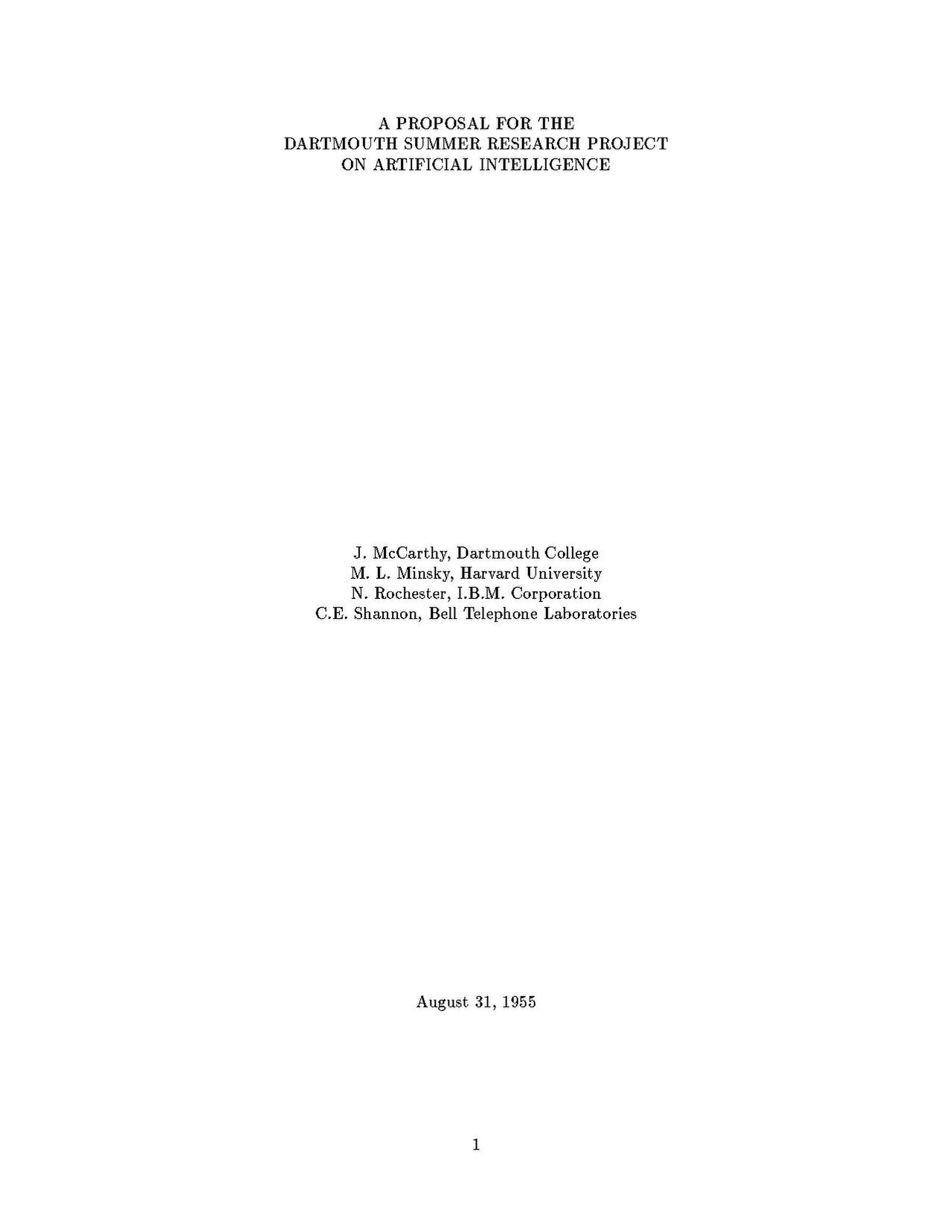 Document
Primary source
A Proposal for the Dartmouth Summer Research Project on Artificial Intelligence
John McCarthy, Marvin Minsky, Nathaniel Rochester, Claude Shannon · 31 August 1955
 Photograph
Secondary source
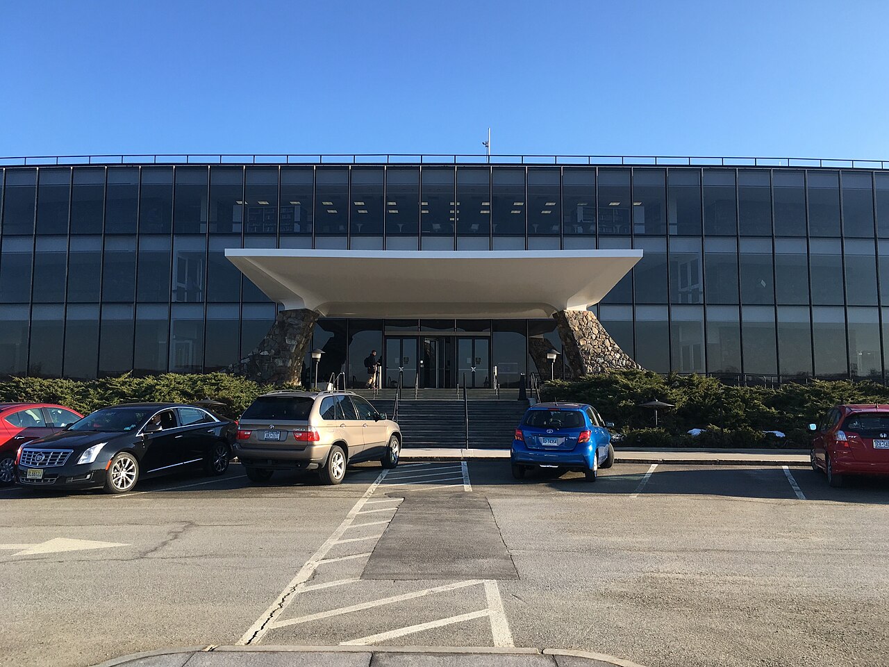
Entrance to IBM Thomas J. Watson Research Center
Autopilot · 23 February 2017
 Photograph
Secondary source
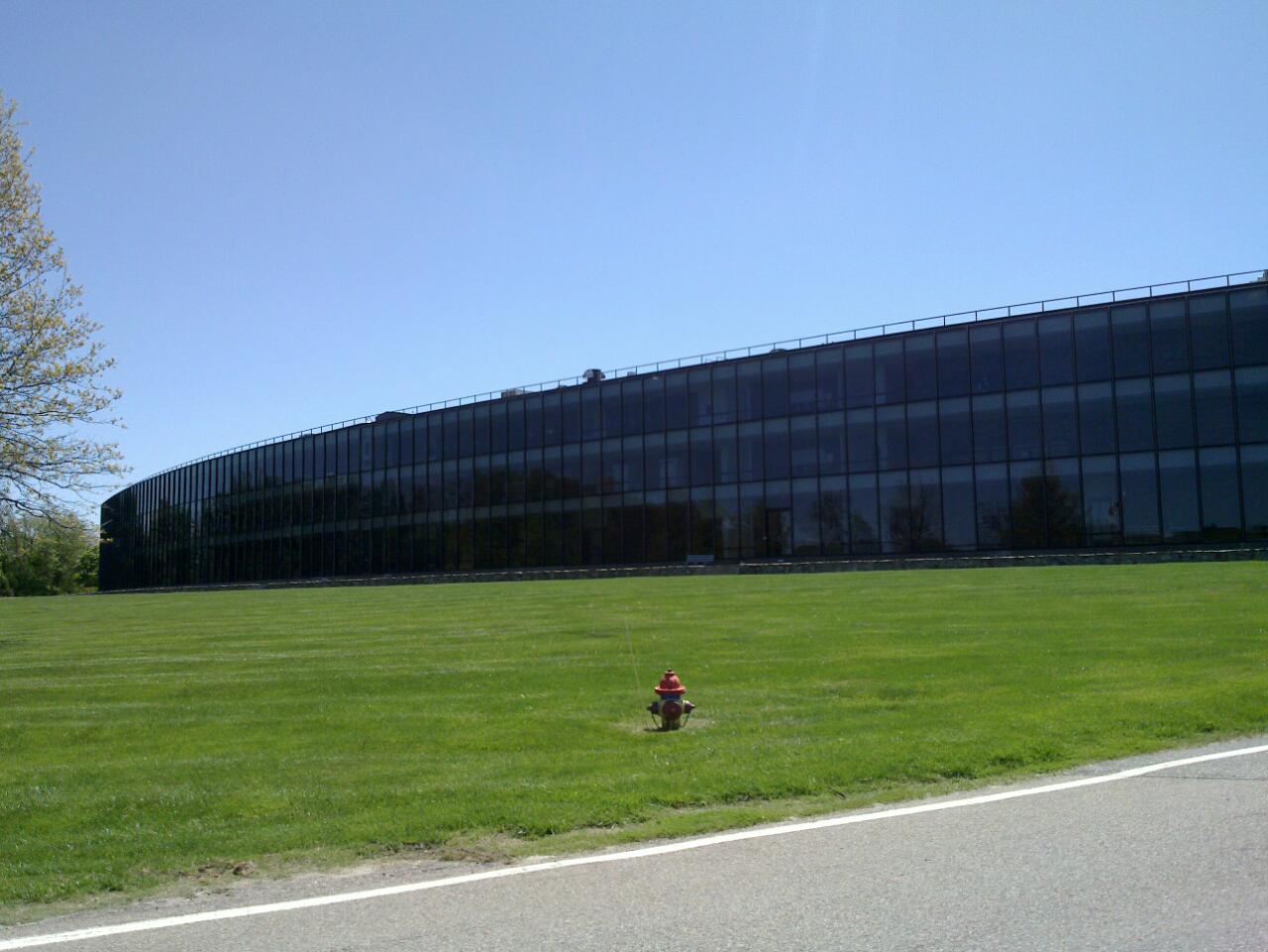
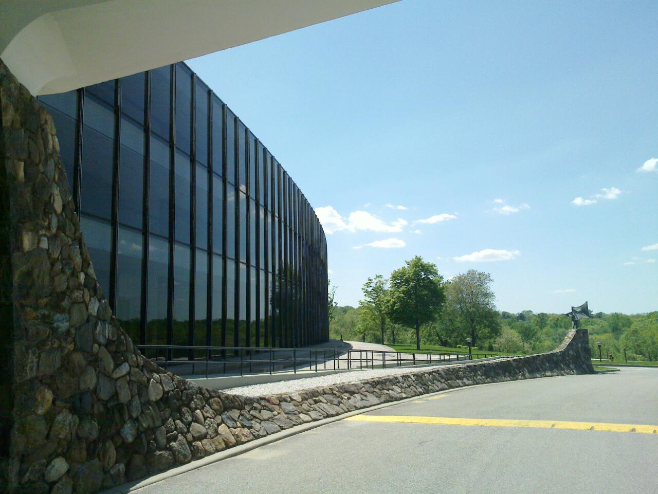
IBM Thomas J. Watson Research Laboratory and Grounds
Chris Samuel · 29 April 2010
 Photograph
Secondary source
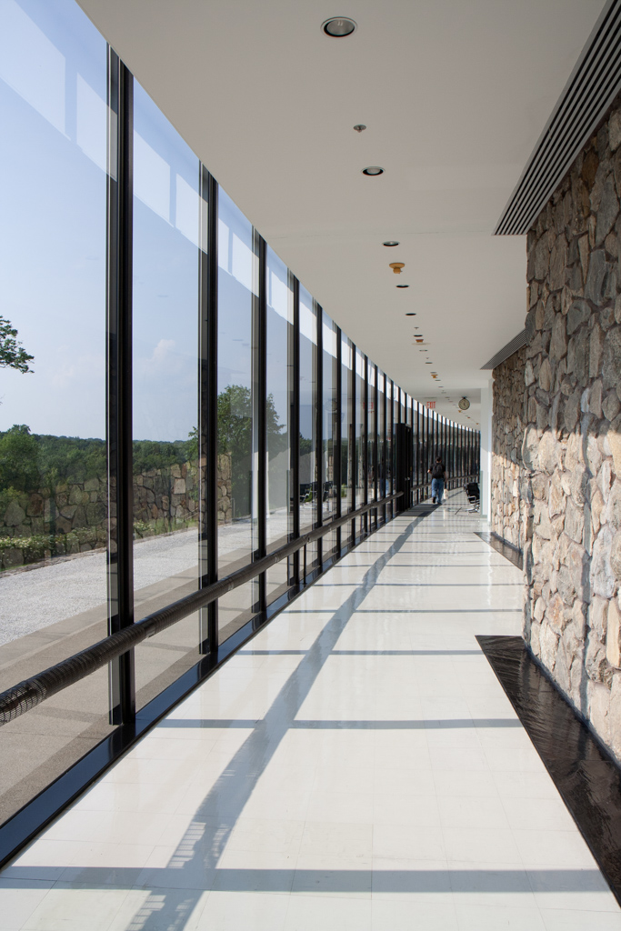
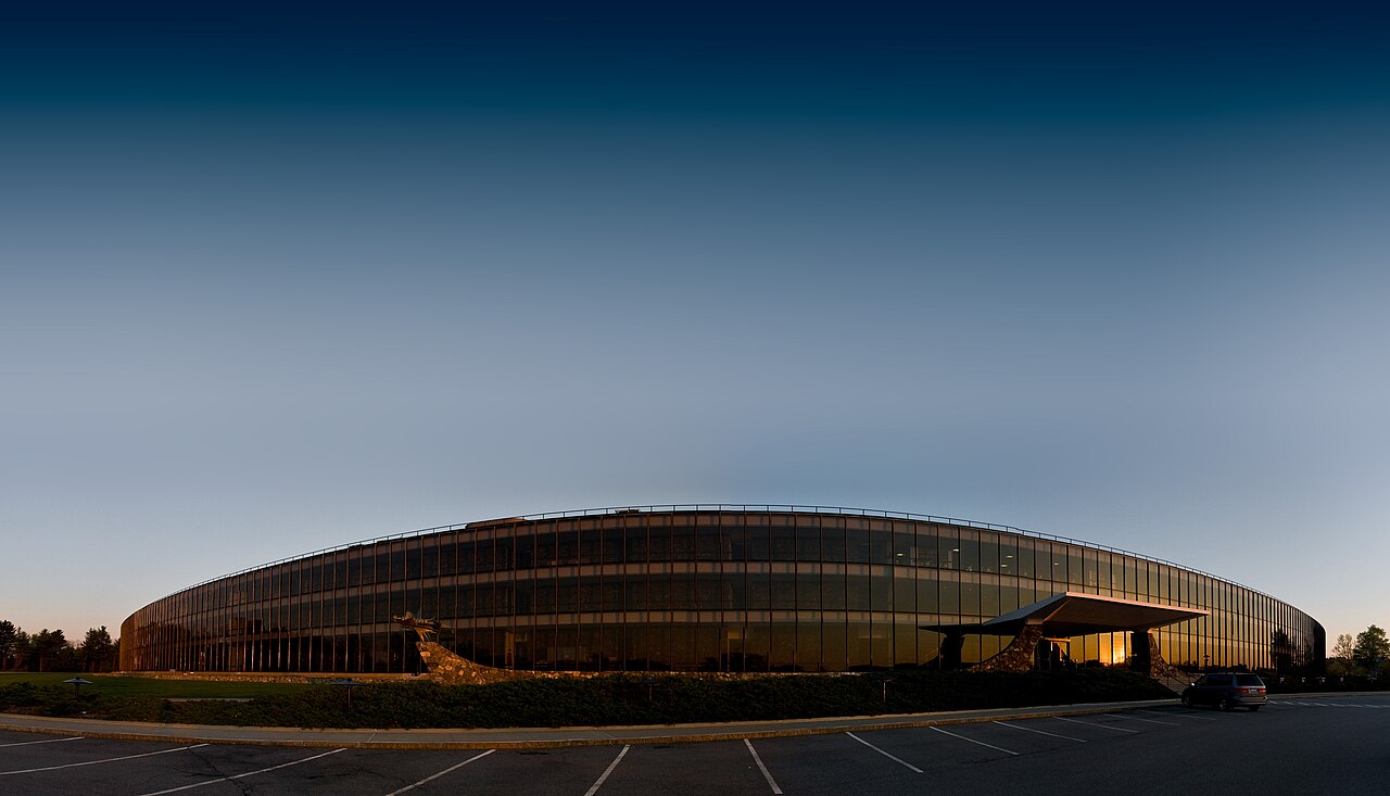
IBM Thomas J. Watson Research Laboratory Outside Entrance
Chris Samuel · 5 May 2010
Free account
Read every Trenchard More source
Sign up free →
Ready when you are
Start chatting with Trenchard More now.
20 messages free · No credit card · Available in 50+ languages.