


Primary sourceDocument1797
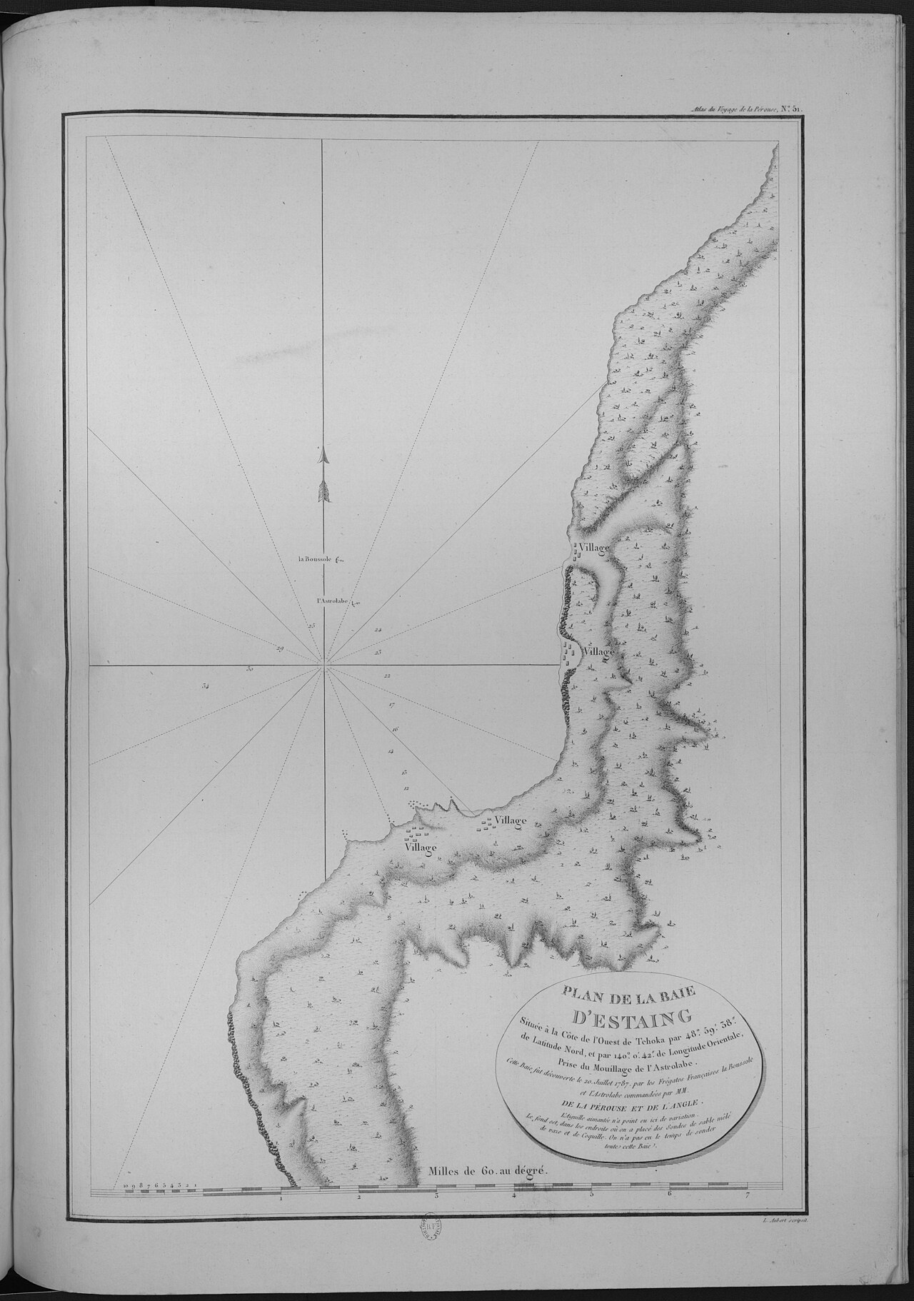
Atlas du voyage de La Pérouse
Jean-François de La Pérouse and expedition officers · 1797
An atlas of charts and engraved views made from the surveys and drawings of La Pérouse's expedition, published in 1797.
These charts were made by La Pérouse's expedition during his voyage of exploration.
About this source
What it is
This atlas contains navigational charts and views created by La Pérouse and his officers during their voyage, engraved for the official 1797 edition of the expedition's records. Copies are held today by the Bibliothèque nationale de France and the State Library of New South Wales.
Why it matters
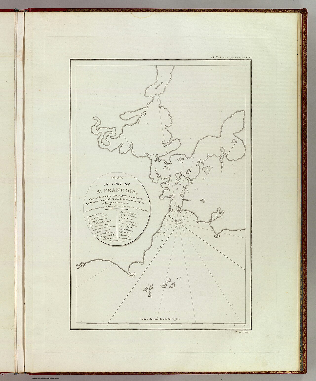
The atlas reflects the scientific cartography of the era, following methods used by explorers like James Cook. One of its maps shows the port of San Francisco, made during a stop at the Presidio, giving a rare outside view of Spanish California through French eyes.
Look closer
- What details on the chart suggest it was made for sailors to use at sea?
- Why would a French expedition map Spanish-controlled territory?
- What is missing from this map that a modern map would include?
This document is part of the curated material that grounds the AI version of Jean-François de Galaup, comte de Lapérouse on Humy.ai — when students ask about related events, the AI can quote it and cite it.
More Jean-François de Galaup, comte de Lapérouse sources
Meet the AI Jean-François de Galaup, comte de Lapérouse →Primary source
Voyage de La Pérouse autour du monde
Louis Marie de Milet de Mureau · 1797
 Letter
Primary source
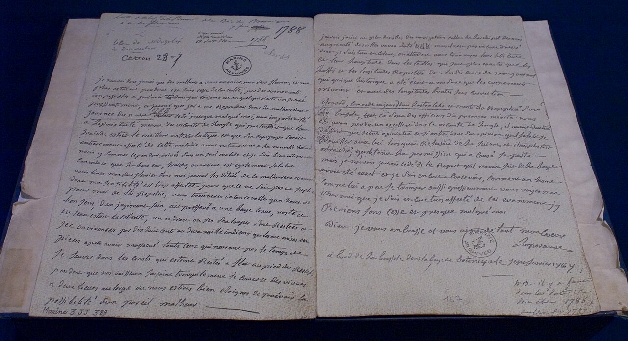
Last letter La Pérouse
Jean-François de La Pérouse · February 1788
 Painting
Primary source
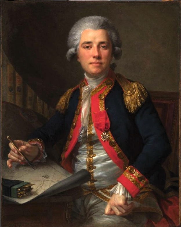
Portrait of Jean-François de Galaup, comte de La Pérouse
Geneviève Brossard de Beaulieu · 1778
 Document
Primary source
Plan du port de St. François, situé sur la côte de la Californie septentrionale
La Pérouse expedition · 1786 (published 1797)
 Painting
Primary source
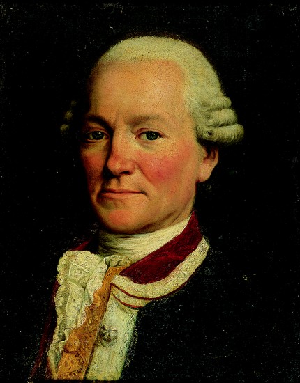
Jean-François de Galaup comte de La Pérouse
Jean-Baptiste Greuze
Ready when you are
Start chatting with Jean-François de Galaup, comte de Lapérouse now.
20 messages free · No credit card · Available in 50+ languages.