


Primary sourceArtifact1870s
Basutoland
Edward Weller · 1870s
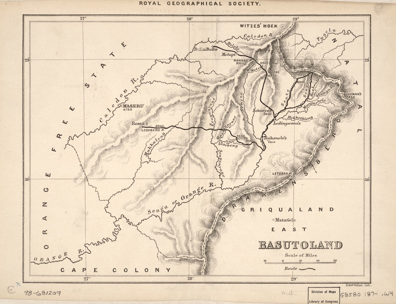
A 19th-century engraved map showing the territory of Basutoland, the kingdom Moshoeshoe ruled, in his final years.
This map shows the territory of Basutoland as it existed in Moshoeshoe's final years.
About this source
What it is
This is an antique engraved map titled "Basutoland," made by Edward Weller for the Royal Geographical Society in the 1870s. It shows mountain relief, rivers, place names, a marked route, and a scale of miles. A copy is held by the Library of Congress.
Why it matters
This map captures the territory of Basutoland near the end of Moshoeshoe I's life, showing the land he had worked for decades to defend from encroachment by Boer settlers and British colonial authorities. Maps like this were tools of both geography and power, used by outsiders to understand and eventually administer a kingdom.
Look closer
- Who made this map, and for what purpose might the Royal Geographical Society have wanted it?
- What does the map show, and what might it leave out, such as who actually lived in and controlled this land?
- How might a map made by Basotho people themselves have looked different?
This artifact is part of the curated material that grounds the AI version of Moshoeshoe I on Humy.ai — when students ask about related events, the AI can quote it and cite it.
More Moshoeshoe I sources
Browse all 12 →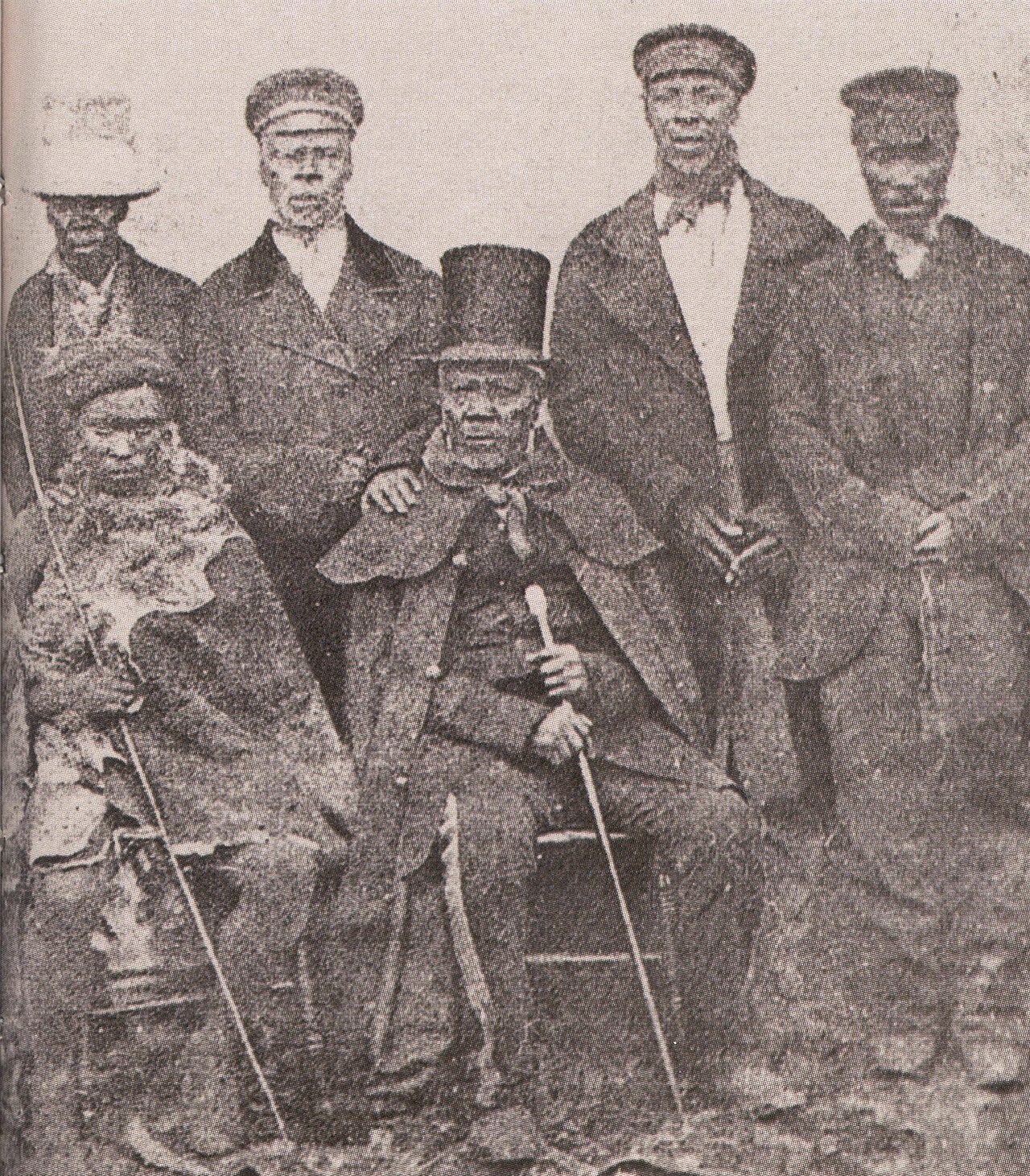 Photograph
Primary source
King Moshoeshoe with his Ministers
c. 1860s
 Book
Primary source
The Basutos; or, Twenty-three Years in South Africa
Eugène Casalis · 1861 (French original 1859)
 Painting
Primary source
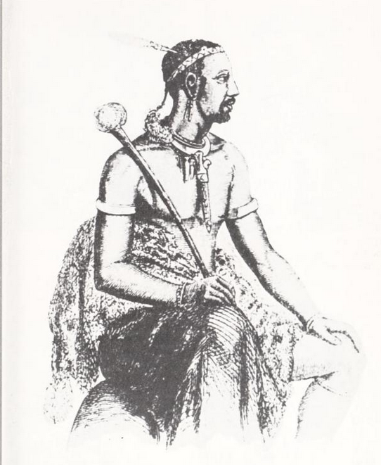
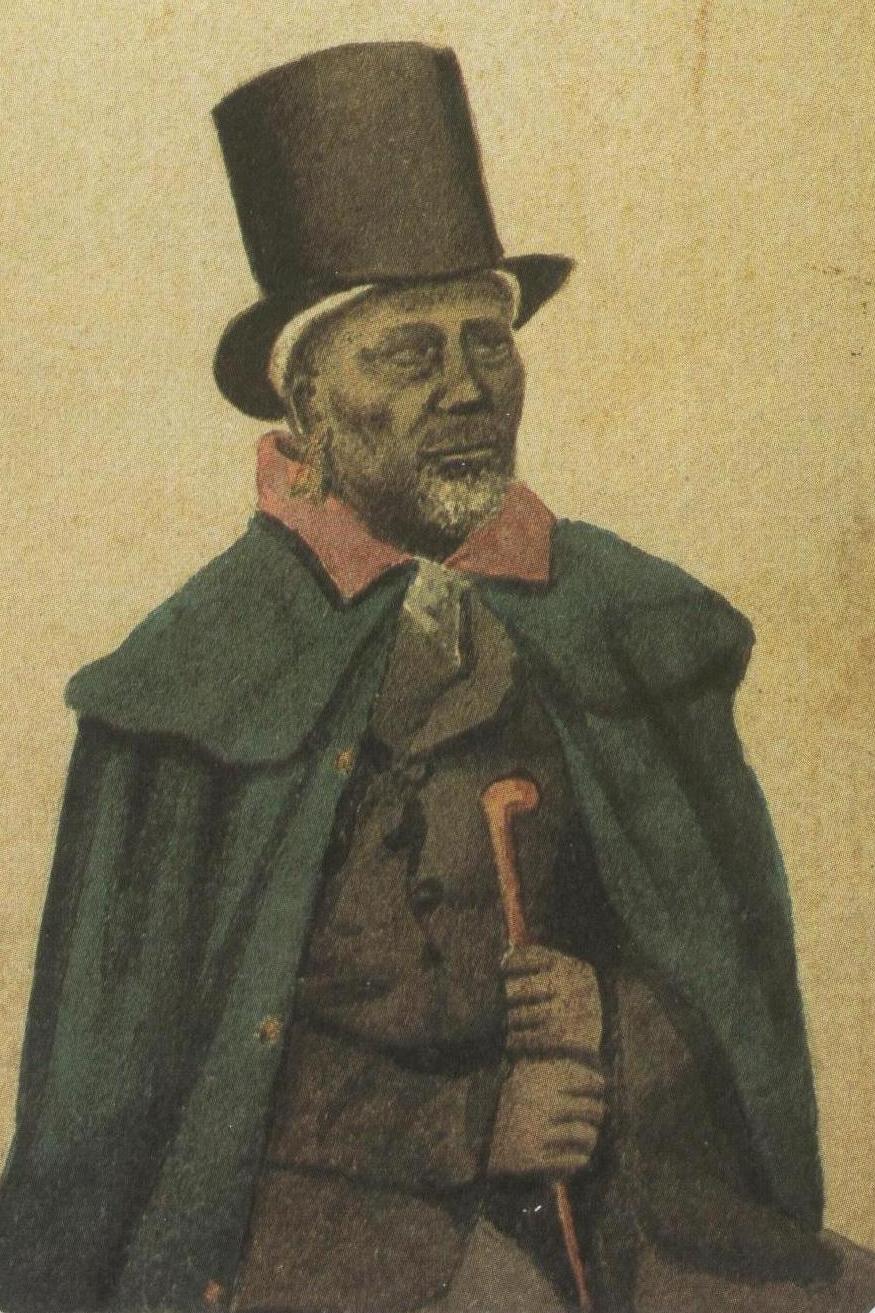
Moshoeshoe I in 1833
Unknown · 1833
 Painting
Primary source
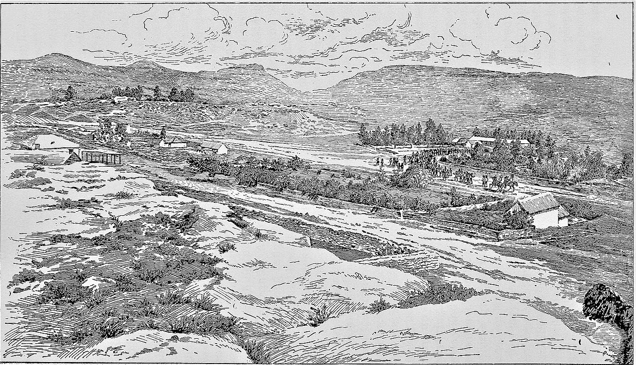
Maseru, Basutoland (c.1882)
Unknown · 1887
Free account
Read every Moshoeshoe I source
Sign up free →
Ready when you are
Start chatting with Moshoeshoe I now.
20 messages free · No credit card · Available in 50+ languages.