


Primary sourceArtifactc. 985 onward
Brattahlíð
Erik the Red and Norse settlers · c. 985 onward
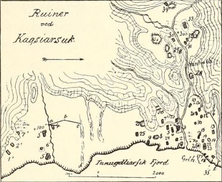
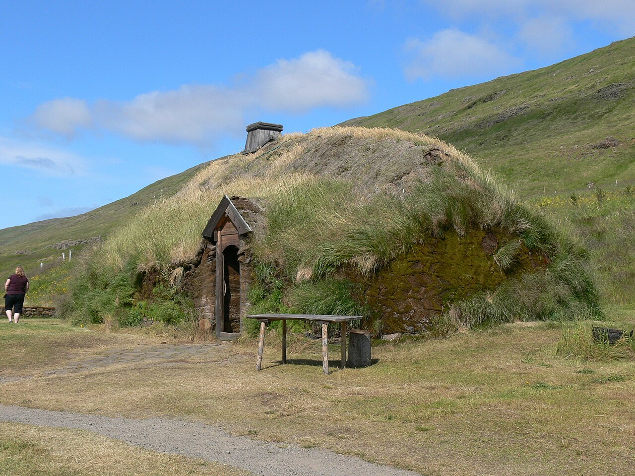
The excavated ruins of Erik the Red's chieftain's farm in Greenland, part of his Eastern Settlement.
Brattahlíð was Erik's own chieftain's estate, the center of the colony he founded in Greenland.
About this source
What it is
Brattahlíð is the excavated site of the farm Erik the Red established in Eiriksfjord, Greenland, from around 985 onward. The ruins lie at Qassiarsuk, now part of the Kujataa UNESCO World Heritage Site, and include a historical map of the ruin sites.
Why it matters
Brattahlíð shows the scale and farming economy of the first Norse colony in Greenland, founded by Erik. Archaeology here helps historians understand how settlers actually lived, beyond what sagas claim.
Look closer
- What does the map tell you about how archaeologists study old settlements?
- Why might ruins tell a different story than the sagas?
- What would it take to farm in this landscape?
This artifact is part of the curated material that grounds the AI version of Eric the Red on Humy.ai — when students ask about related events, the AI can quote it and cite it.
More Eric the Red sources
Browse all 44 →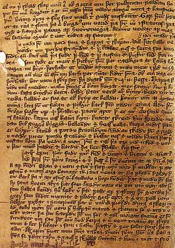 Book
Secondary source
Saga of Erik the Red
c. 1300 (manuscript); events set c. 1000
Secondary source
Saga of the Greenlanders
c. 1300 (manuscript); events set c. 1000
 Book
Secondary source
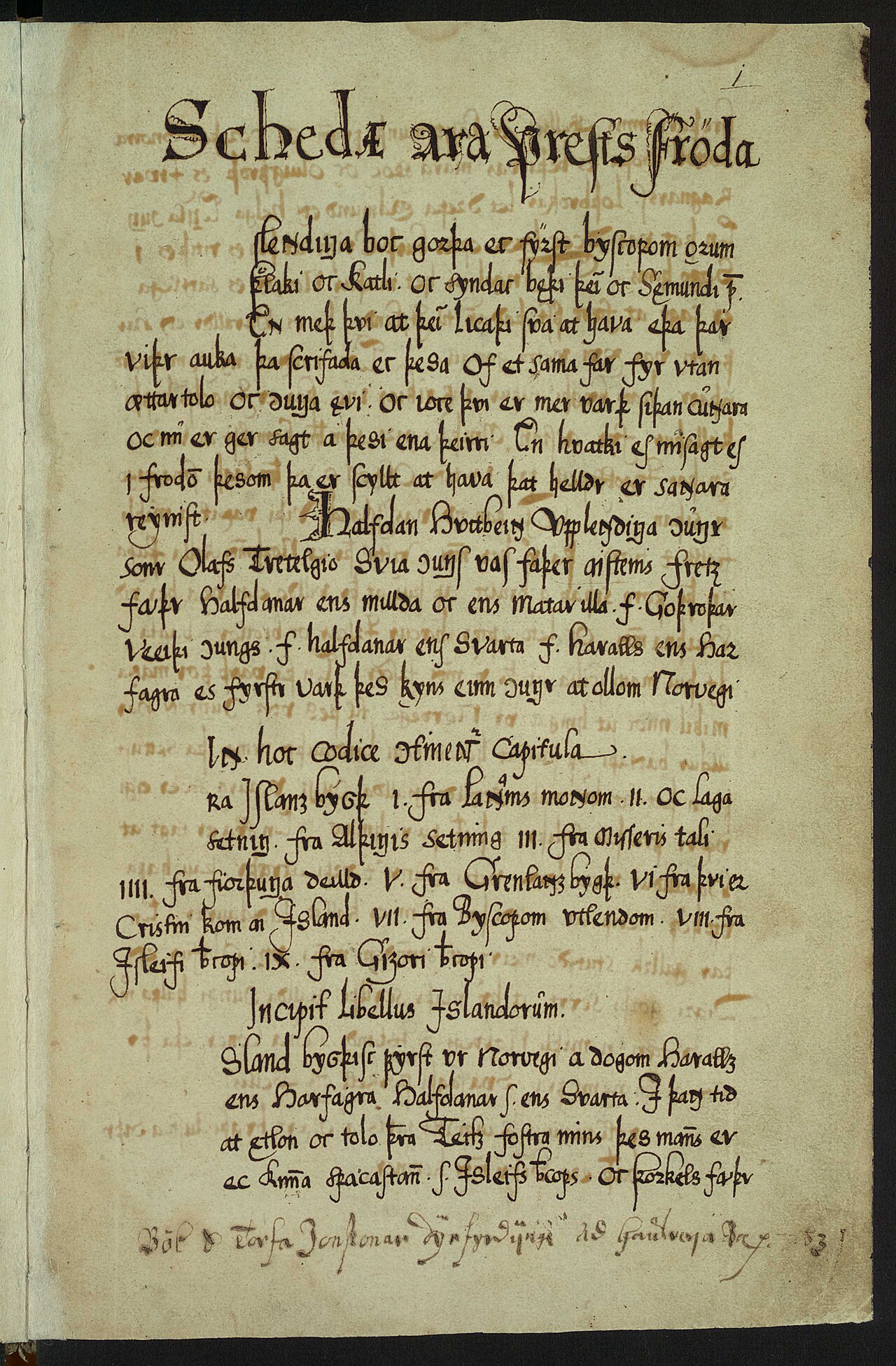
Íslendingabók
Ari Þorgilsson · c. 1122-1133
 Book
Secondary source
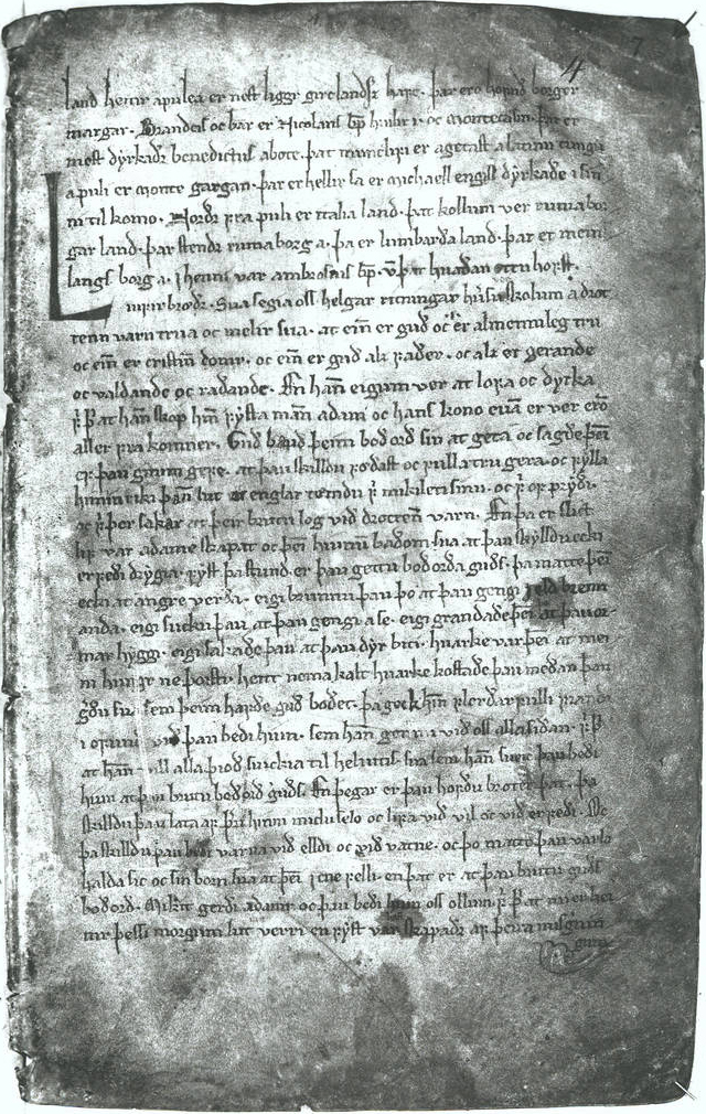
Hauksbók
Haukr Erlendsson · c. 1302–1310
Free account
Read every Eric the Red source
Sign up free →
Ready when you are
Start chatting with Eric the Red now.
20 messages free · No credit card · Available in 50+ languages.