


Primary sourceDocument1736
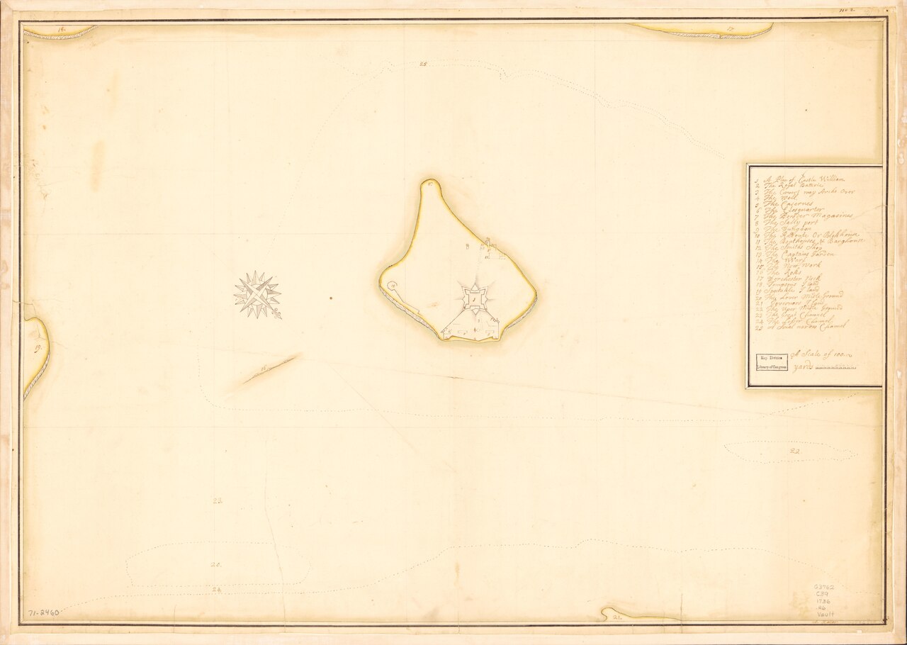
Castle William and Vicinity Manuscript Map
A. Roller · 1736
A 1736 hand-drawn map of Castle William, the fort where Hutchinson later ordered British troops relocated after the Boston Massacre.
This 1736 map shows Castle William, the fort where Hutchinson ordered troops relocated after the Boston Massacre.
About this source
What it is
This is a manuscript map made in pen-and-ink and watercolor by A. Roller in 1736, showing Castle William and the surrounding area at a scale of about 1:3,000. It includes a compass rose, depth soundings, and a numbered key of points of interest.
Why it matters
Castle William was the fort to which Thomas Hutchinson, as acting governor, ordered British troops moved after the Boston Massacre in 1770. This map, made during his lifetime, shows the detailed layout of the fort decades before that event, helping students understand the physical setting of a key moment in colonial tensions.
Look closer
- Why might such a detailed map of a military fort have been made in 1736?
- What does the numbered key suggest about how the fort was organized and used?
- What might this map not show about daily life or tensions in Boston at the time?
This document is part of the curated material that grounds the AI version of Thomas Hutchinson on Humy.ai — when students ask about related events, the AI can quote it and cite it.
More Thomas Hutchinson sources
Meet the AI Thomas Hutchinson → Letter
Primary source
Hutchinson–Whately Letters
Thomas Hutchinson · 1767–1769 (published 1773)
 Book
Primary source
The History of the Colony and Province of Massachusetts-Bay
Thomas Hutchinson · 1764, 1767, 1828
 Painting
Primary source
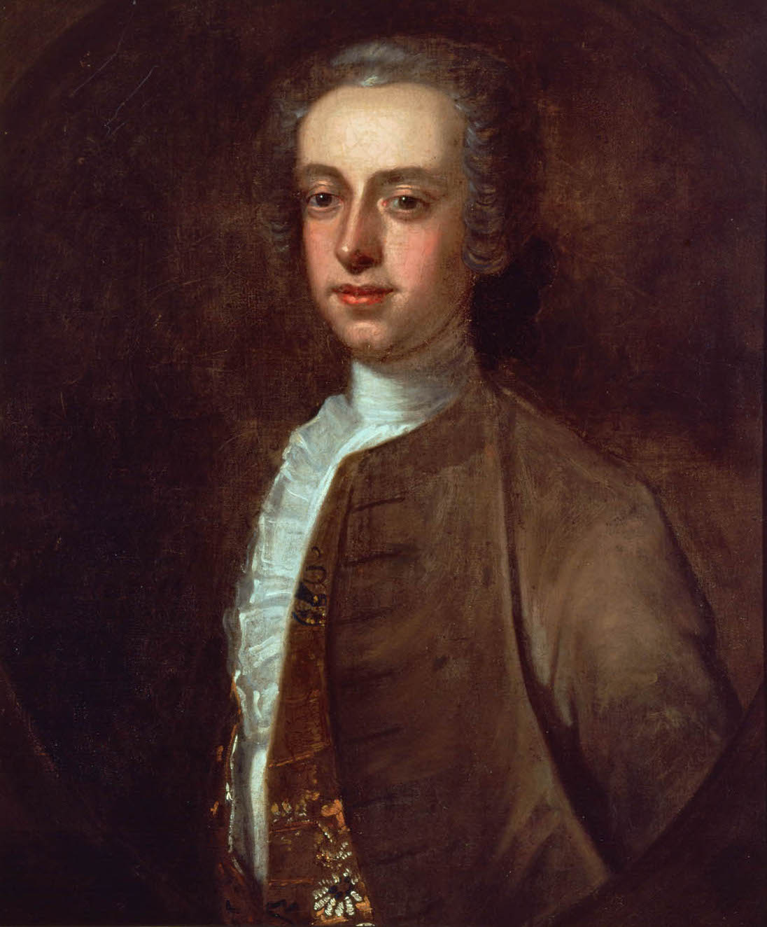
Portrait of Thomas Hutchinson
Edward Truman · 1741
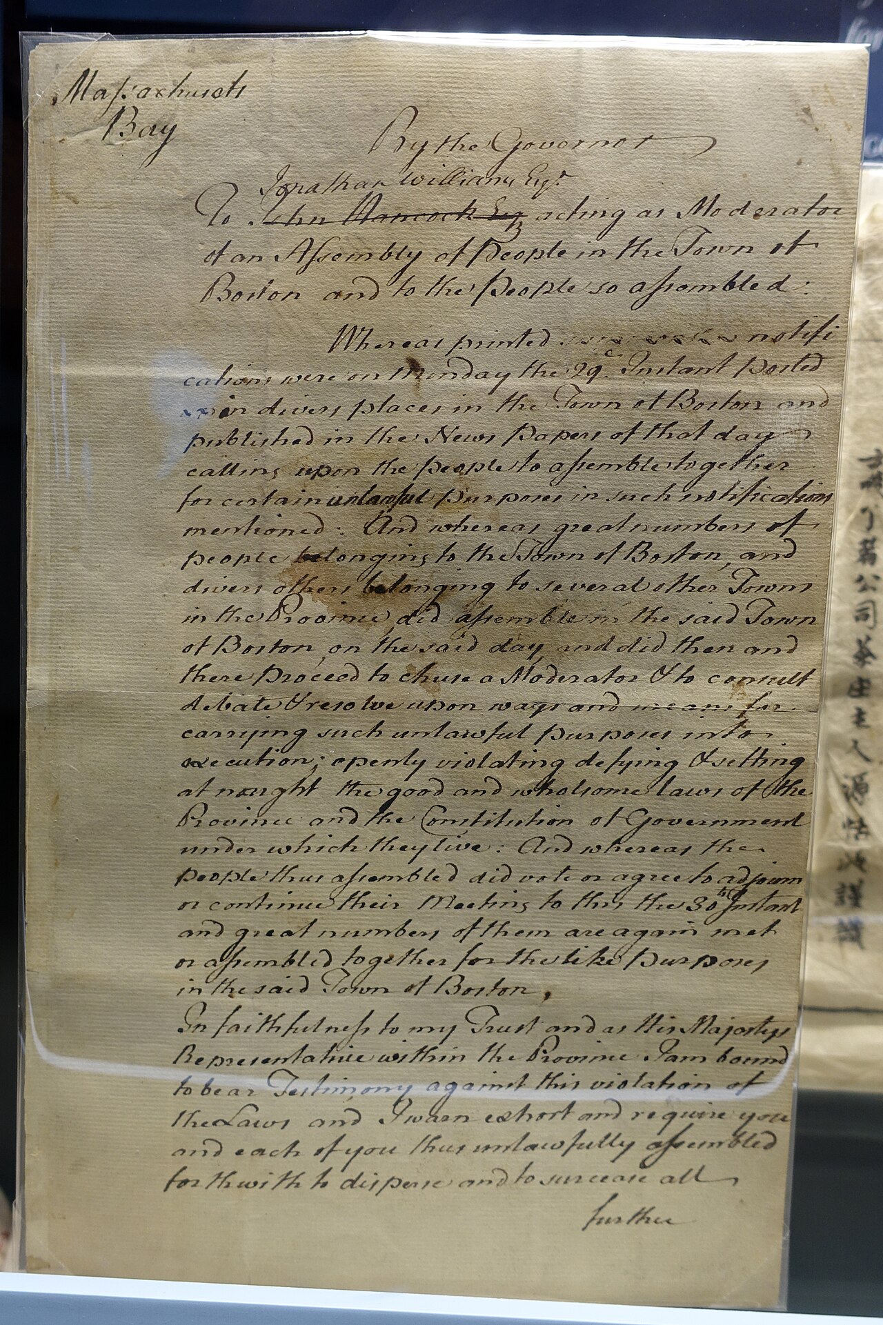 Document
Primary source
Letter Directing the Old South Tea Meeting to Adjourn
Thomas Hutchinson · November 30, 1773
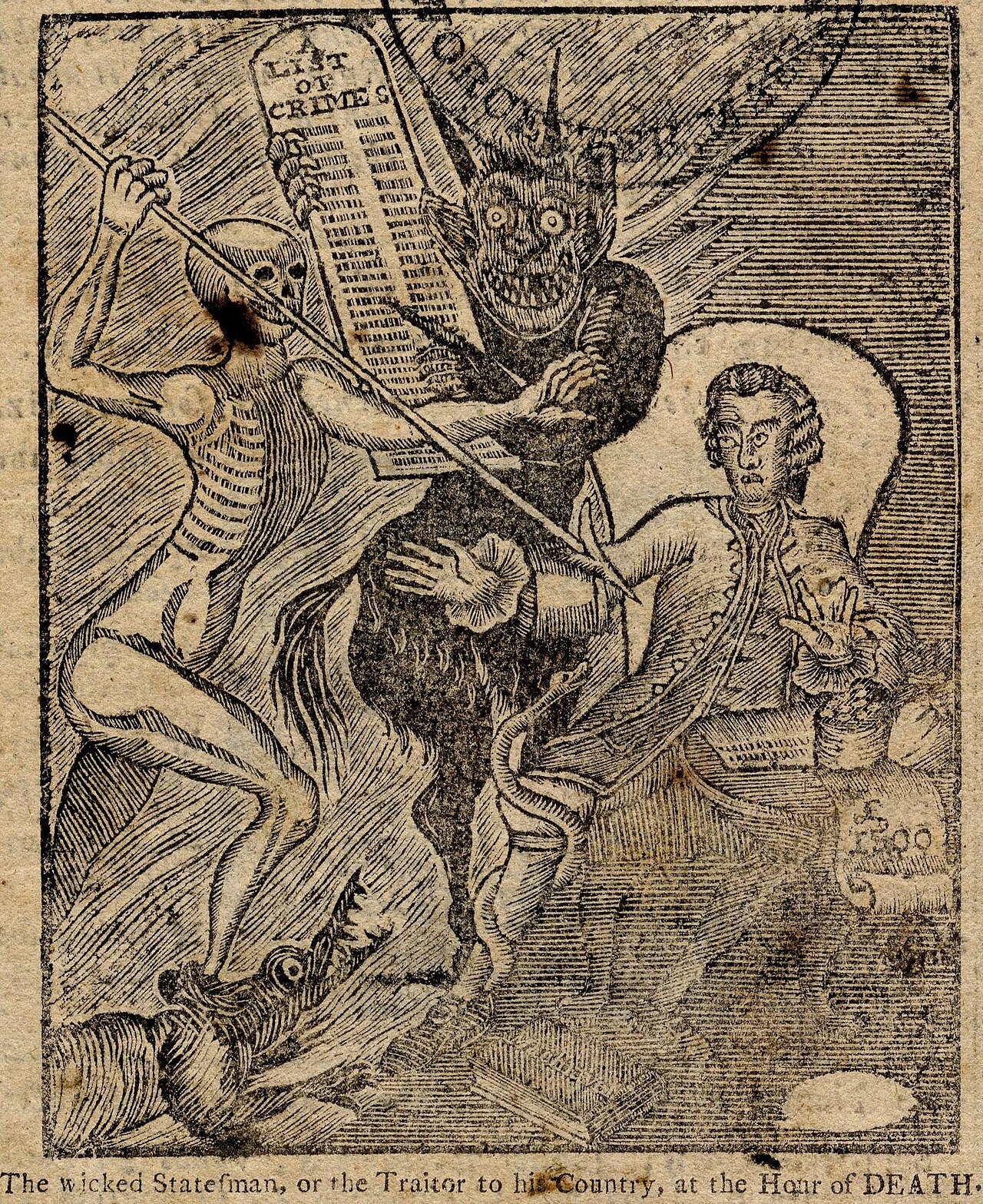 Painting
Primary source
The Wicked Statesman political cartoon
Paul Revere · published 1774
Ready when you are
Start chatting with Thomas Hutchinson now.
20 messages free · No credit card · Available in 50+ languages.