


Secondary sourceDocumentc. 1490
Columbus Map
Workshop of Bartolomeo and Christopher Colombus · c. 1490
A nautical chart made around 1490 in the Lisbon workshop of Christopher and Bartholomew Columbus, showing the world geography available before the 1492 voyage.
Attributed to the Lisbon workshop run by Columbus and his brother, showing the geographic knowledge he worked with before his voyage.
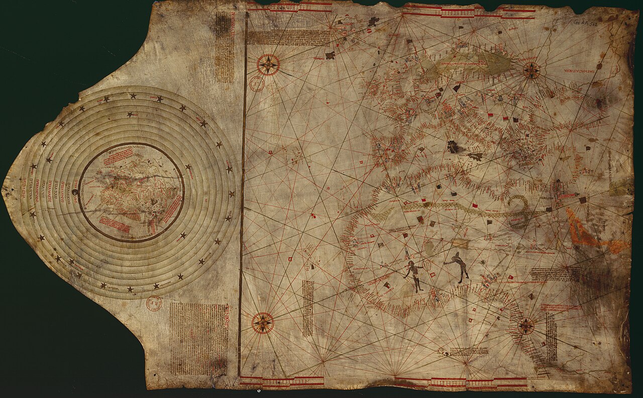
About this source
What it is
This is a large parchment nautical chart made around 1490 in a workshop in Lisbon run by Bartholomew Columbus and Christopher Columbus. It shows coastlines, compass roses and rhumb lines typical of navigational charts of the period.
Why it matters
Maps like this show the kind of geographic knowledge available to sailors and navigators just before Columbus's first Atlantic crossing. It helps explain what Columbus believed about the world's shape and distances. However, this particular chart cannot be definitely linked to Columbus himself.
Look closer
- What details on the map would have been most useful to a sailor planning a long voyage?
- Why might historians be cautious about linking this map directly to Columbus?
- What is missing from this map compared to maps made after 1492?
This document is part of the curated material that grounds the AI version of Christopher Columbus on Humy.ai — when students ask about related events, the AI can quote it and cite it.
More Christopher Columbus sources
Meet the AI Christopher Columbus →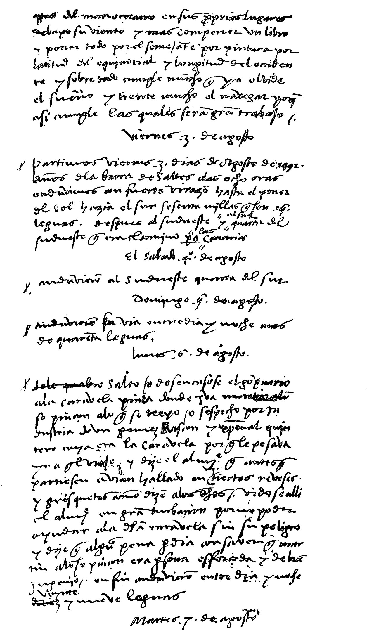 Diary entry
Primary source
Christopher Columbus' Journal
Christopher Columbus · 3 August 1492 – 15 March 1493
 Painting
Secondary source
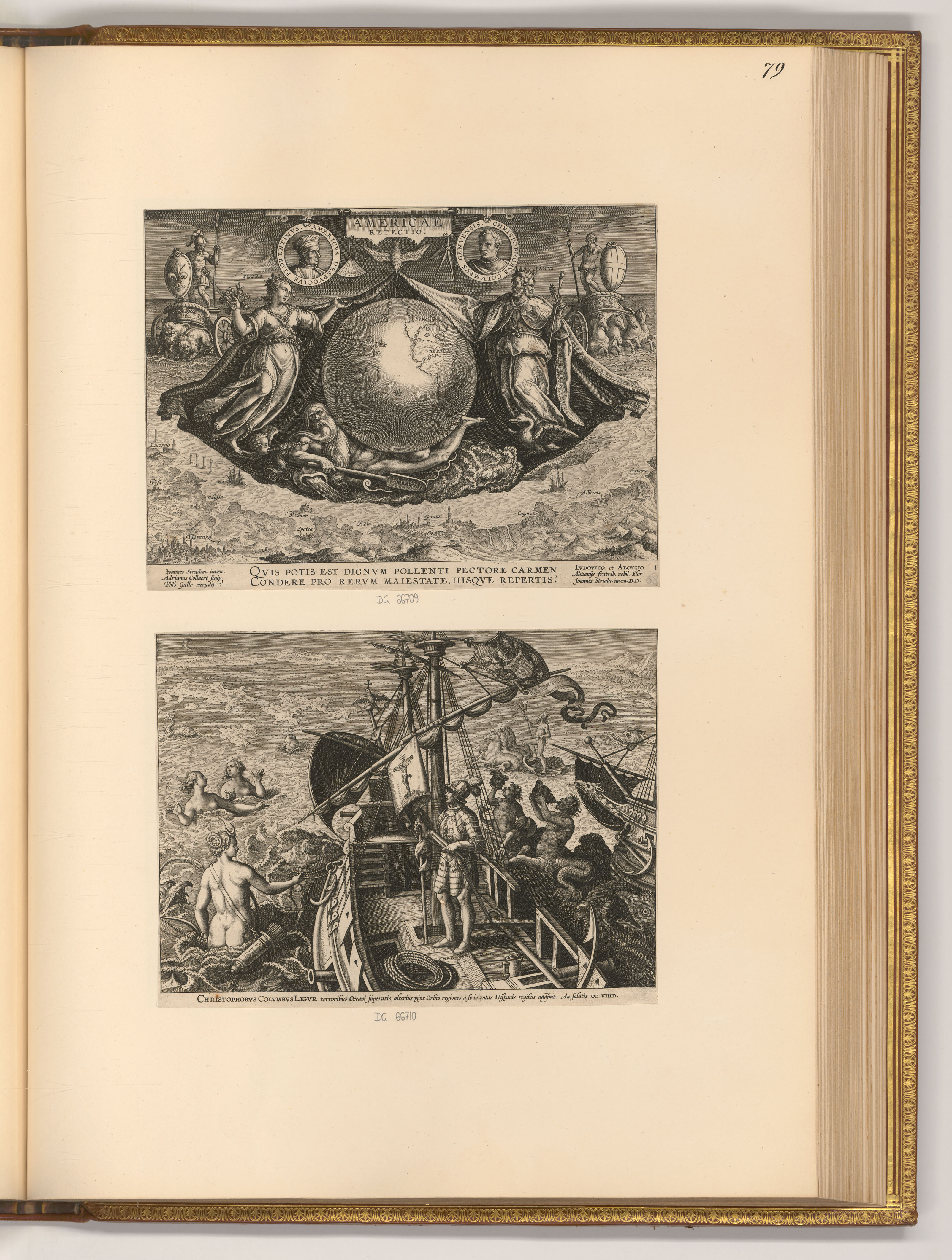
Americae Retectio Title Page with Columbus on His Ship
 Letter
Primary source
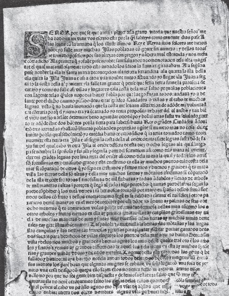
Columbus Letter on the First Voyage
Christopher Columbus · 15 February 1493
 Painting
Secondary source
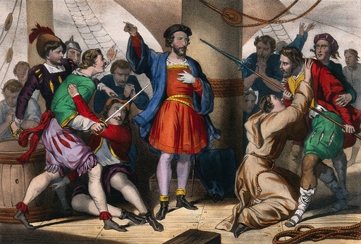
Columbus Admonishes His Men
Cassé
 Document
Primary source
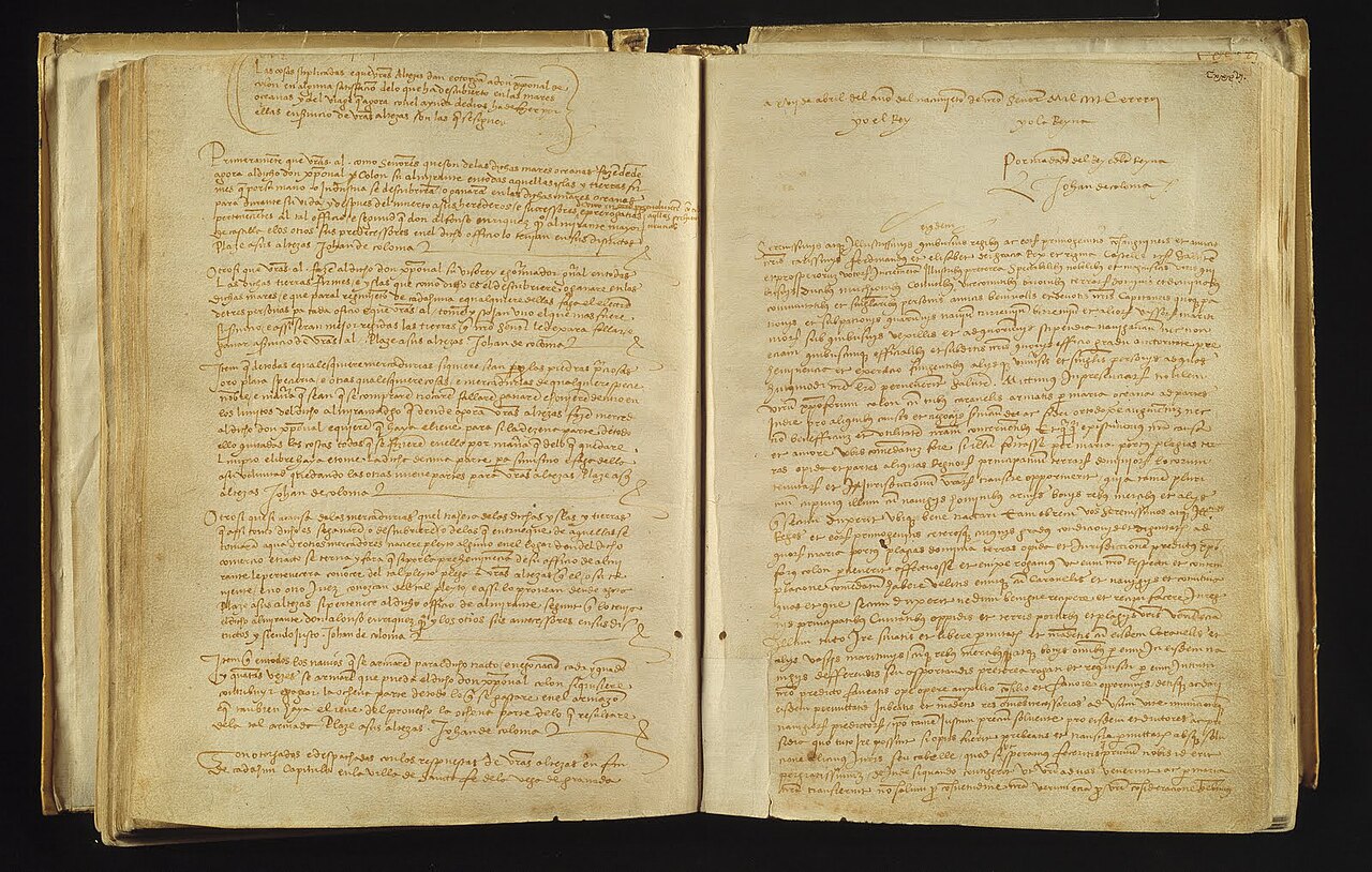
Capitulations of Santa Fe
Catholic Monarchs · 17 April 1492
Ready when you are
Start chatting with Christopher Columbus now.
20 messages free · No credit card · Available in 50+ languages.