


Primary sourceDocument1738
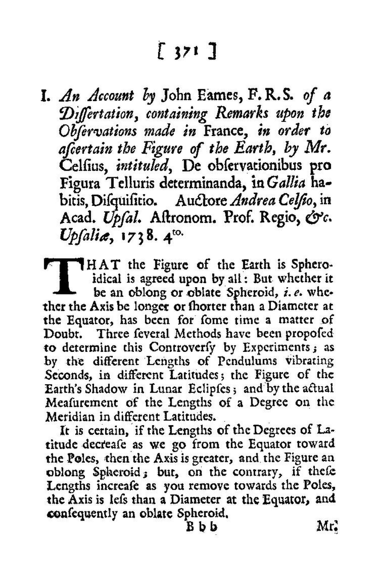
De observationibus pro figura telluris determinanda
Anders Celsius · 1738
Celsius's 1738 account of measurements in Lapland that helped prove the Earth is flattened at the poles.
Documents Celsius's role in the Lapland arc measurement proving the Earth's shape, part of his wider scientific work.
About this source
What it is
Written by Anders Celsius and published in 1738, this work describes observations made to determine the true shape of the Earth, based on measurements taken in Lapland and France.
Why it matters
Celsius took part in an expedition to measure an arc of the meridian in Lapland, work that helped confirm Isaac Newton's prediction that the Earth bulges at the equator and flattens at the poles. This shows Celsius as an active international scientist, not just the inventor of a temperature scale.
Look closer
- Why would scientists need to travel to places like Lapland to answer a question about the whole planet's shape?
- What does it tell us that this report was discussed and summarized in a British scientific journal?
- What parts of the original measuring process might be missing from a printed account like this?
This document is part of the curated material that grounds the AI version of Anders Celsius on Humy.ai — when students ask about related events, the AI can quote it and cite it.
More Anders Celsius sources
Meet the AI Anders Celsius →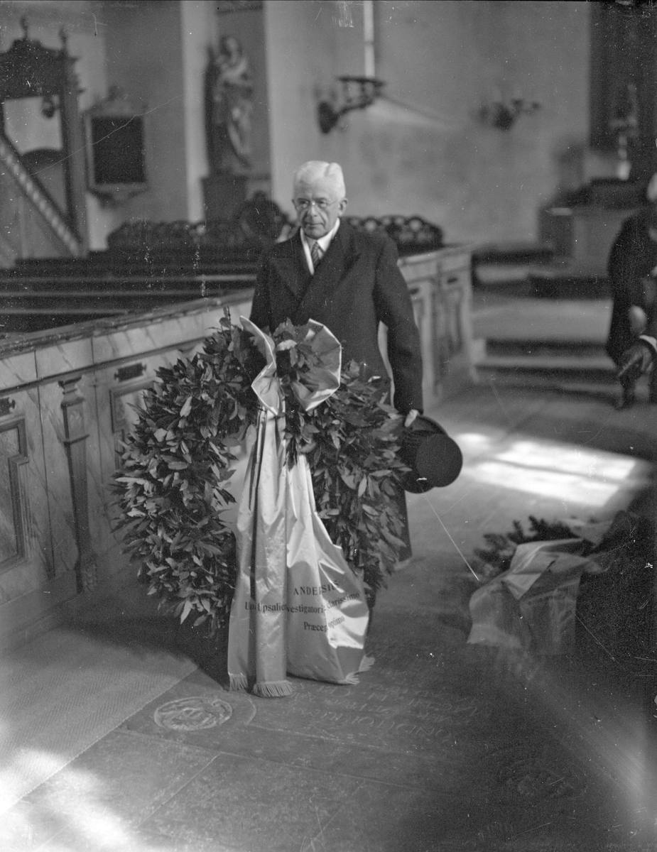 Photograph
Secondary source
Wreath-Laying at Anders Celsius's Grave
Axel Sagerholm · 1944
 Artifact
Primary source
Celsius Original Thermometer Illustration
Anders Celsius · 1742
 Photograph
Secondary source
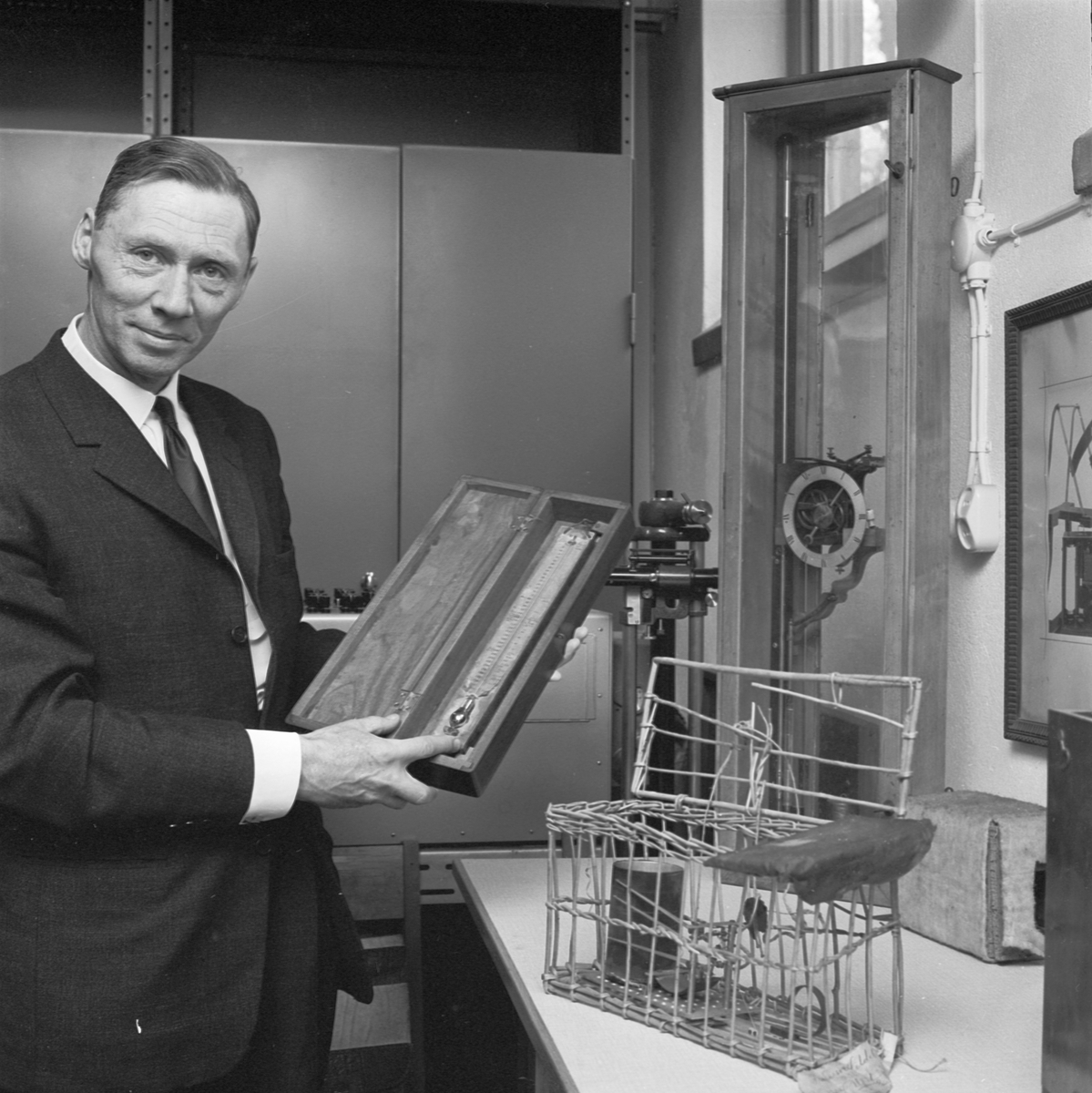
Celsius's Inverted Thermometer in the Uppsala Meteorology Museum
Uppsala-Bild · 1963
 Painting
Primary source
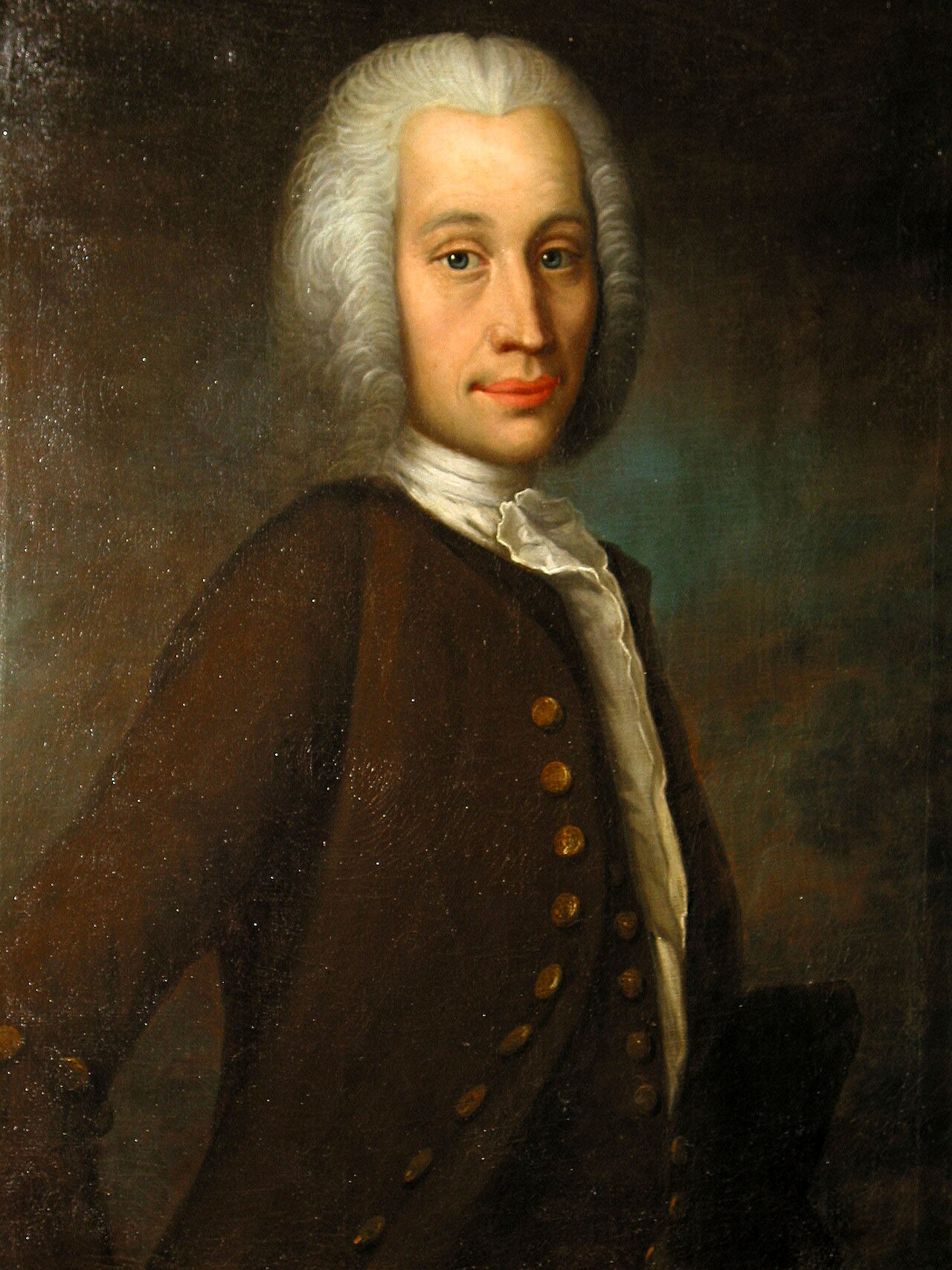
Portrait of Anders Celsius
Olof Arenius · 1733
 Photograph
Secondary source
Celsius House, Former Observatory
Uppsala-Bild · 1964
Ready when you are
Start chatting with Anders Celsius now.
20 messages free · No credit card · Available in 50+ languages.