


Secondary sourcePhotograph3 September 2009
Fort Miami historic site, Michigan
Chris Light · 3 September 2009
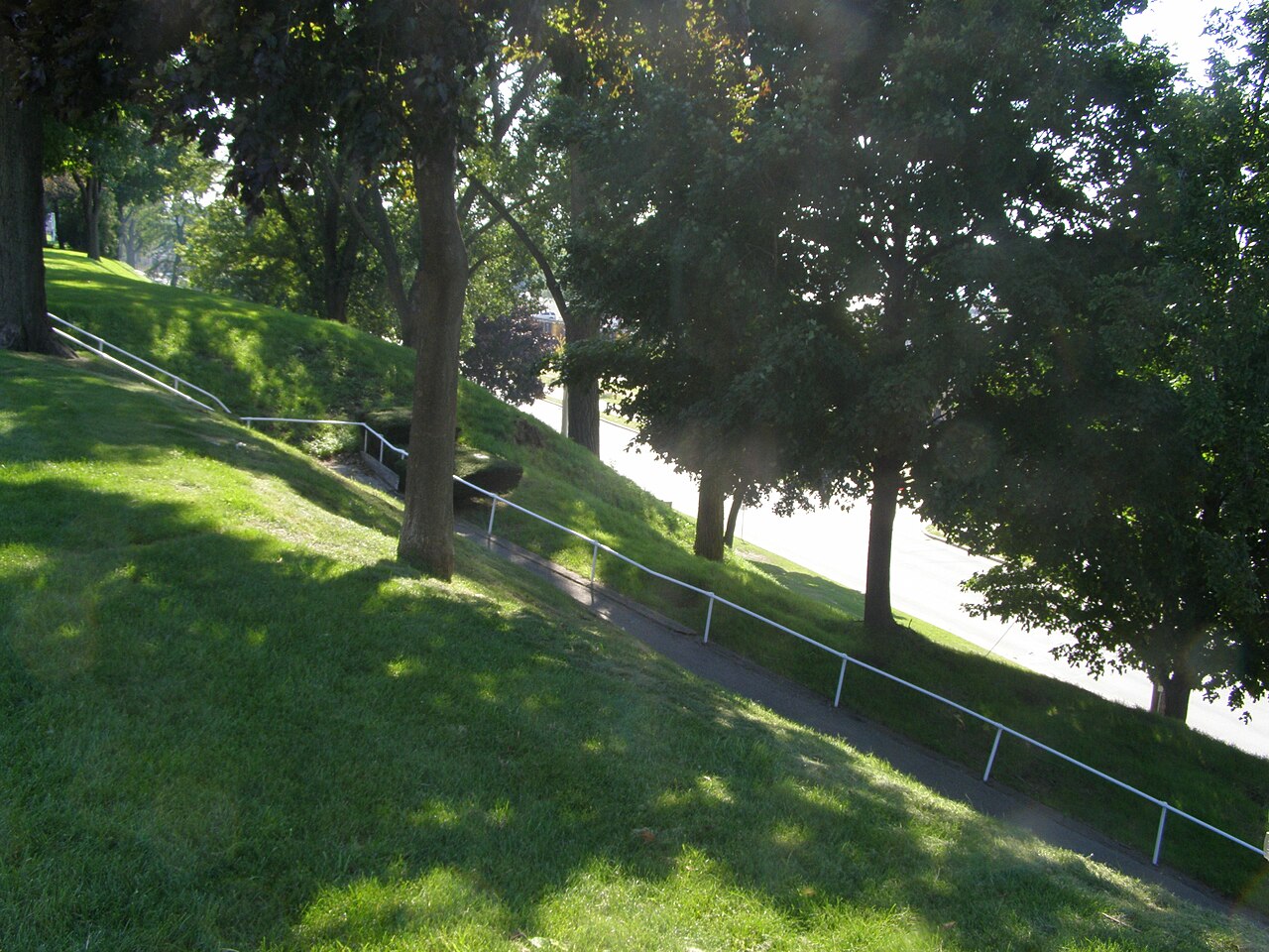
A 2009 photograph of the grassy earthwork at the historic site of Fort Miami, which the French built in 1679 in La Salle's era.
A modern photograph of the site of a fort built in La Salle's era, giving a sense of the places where French colonial activity happened.
About this source
What it is
This is a photograph taken by Chris Light on 3 September 2009. It shows a grassy hillside earthwork at a historic site. A paved path runs diagonally up the slope between metal railings, tall trees cast shadows on the grass, and a road is visible at the right. The Commons record identifies the place as the historic location of Fort Miami, built by the French in 1679.
Why it matters
Fort Miami was built during the years when La Salle and his contemporaries were expanding French trade and control in the Great Lakes region. A photograph of its site today shows where such forts once stood, but it cannot show the fort as it was. Sites like this help students connect written records to real places.
Look closer
- What features in this photograph suggest that the land was shaped by people, and what features suggest it has changed over time?
- Why might a historic site be marked with paths, railings and a road, and who decides how such a place is presented?
- What can a photograph of today's landscape tell us about the 1679 fort, and what can it not tell us?
This photograph is part of the curated material that grounds the AI version of Robert de La Salle on Humy.ai — when students ask about related events, the AI can quote it and cite it.
More Robert de La Salle sources
Meet the AI Robert de La Salle →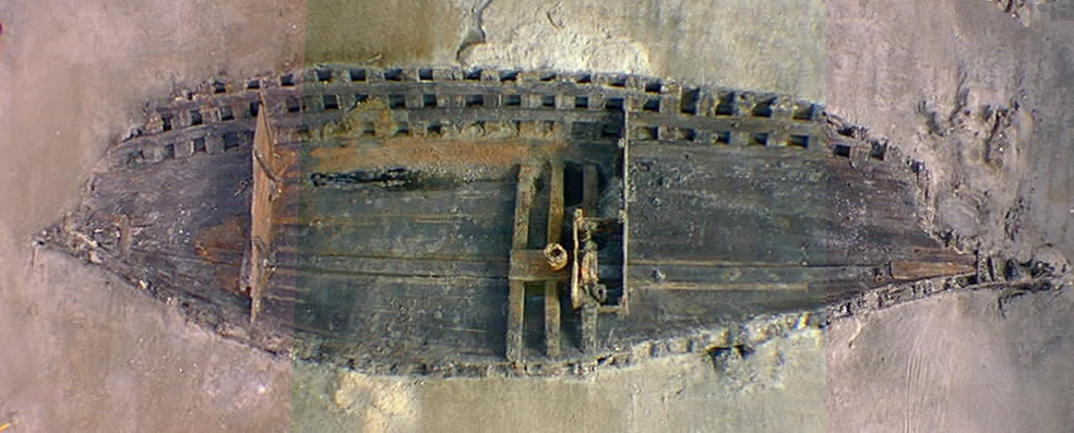 Artifact
Primary source
La Belle Shipwreck and Recovered Hull
French royal navy (built at Rochefort) · 1684 (built); sunk 1686; excavated 1995-97
 Book
Primary source
Description de la Louisiane
Louis Hennepin · 1683
 Document
Primary source
Signature of René-Robert Cavelier, Sieur de La Salle
René-Robert Cavelier, Sieur de La Salle
 Document
Primary source
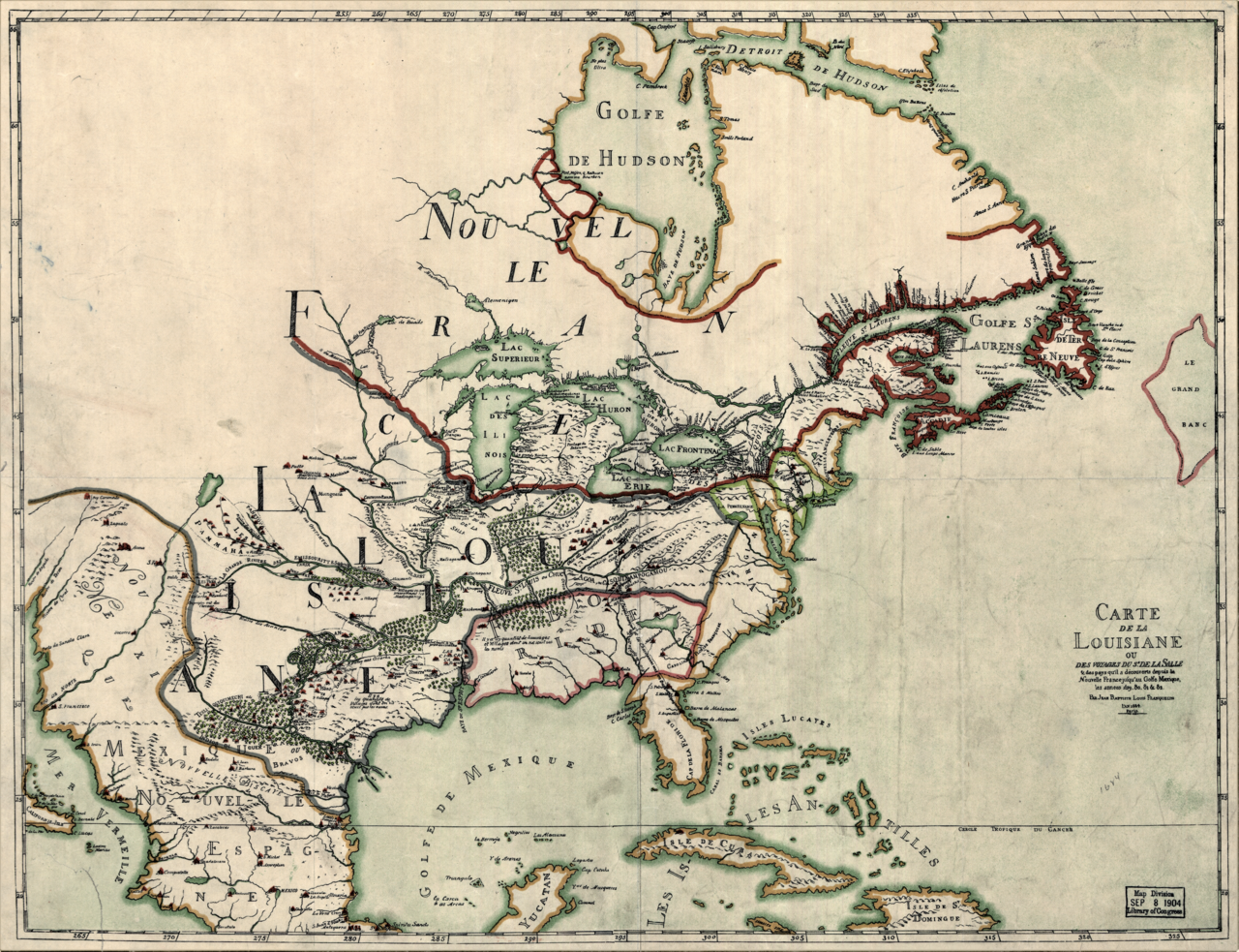
Carte de la Louisiane ou des voyages du Sr. de La Salle
Jean-Baptiste-Louis Franquelin · 1684
 Document
Primary source
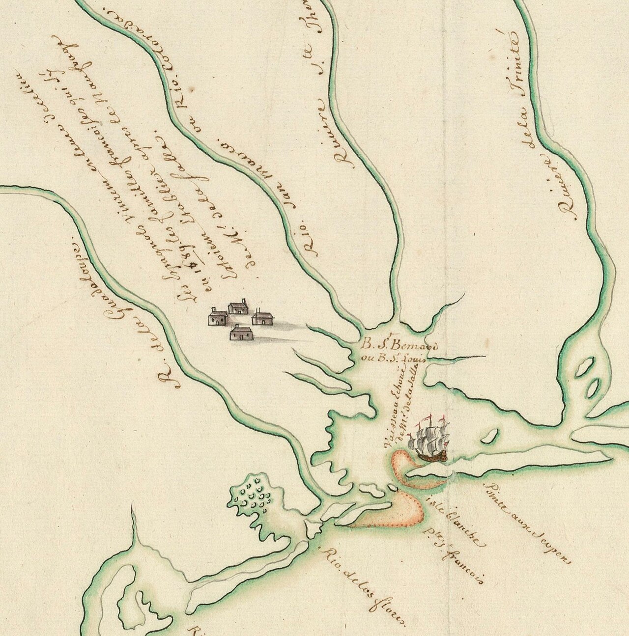
Plan présentant le naufrage d'un navire de Cavelier de La Salle en 1686
Unknown, possibly François Le Maire · late 17th or early 18th century
Ready when you are
Start chatting with Robert de La Salle now.
20 messages free · No credit card · Available in 50+ languages.