


Primary sourceDocument1690s
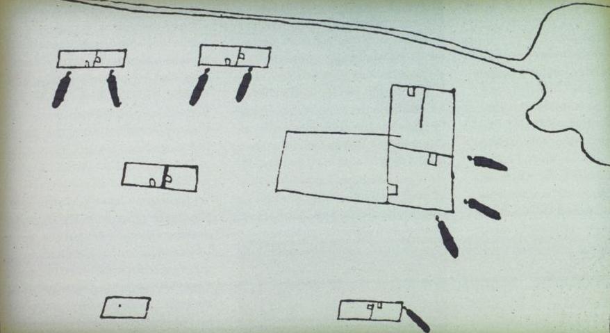
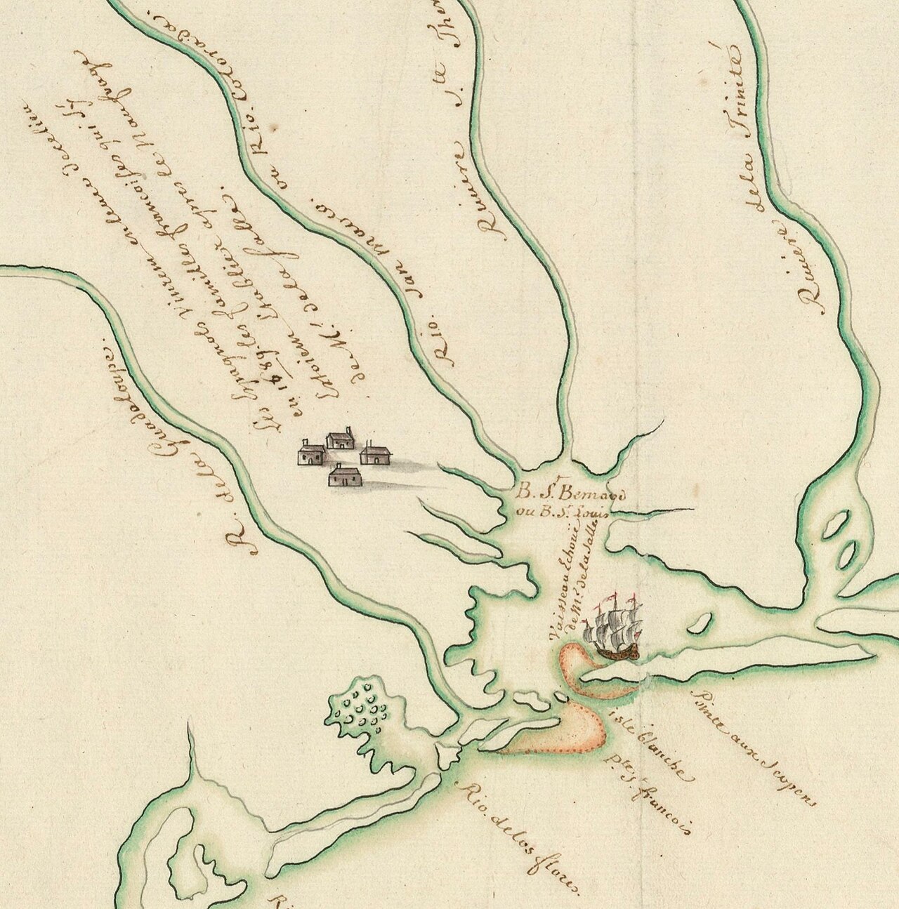
Fort Saint Louis Map by Alonso de León, 1689
Alonso de León · 1690s
A hand-drawn Spanish map of La Salle's Texas colony, Fort Saint Louis, made by a Spanish officer who visited its ruins in 1689.
A Spanish officer's map of La Salle's Texas fort, drawn after visiting its ruins in 1689, evidence of his failed colony.
About this source
What it is
This ink sketch map shows the layout of Fort Saint Louis as it looked in 1689. It was made by Alonso de León, a Spanish officer, and included in his account Relacion y Discursos de Descubrimiento from the 1690s. It shows rectangular buildings, an L-shaped structure, cannon-like shapes along the walls, and a winding shoreline.
Why it matters
La Salle founded Fort Saint Louis as part of his attempt to establish a French colony in Texas. This map, drawn by a Spaniard who found the fort abandoned and in ruins, is direct physical evidence of the colony's layout and its failure. It shows how rival Spanish forces tracked and recorded French activity in North America.
Look closer
- Why would a Spanish officer bother to map a French fort?
- What does the map's level of detail suggest about what De León actually saw on site?
- What does this source reveal about rivalry between France and Spain in this period?
This document is part of the curated material that grounds the AI version of Robert de La Salle on Humy.ai — when students ask about related events, the AI can quote it and cite it.
More Robert de La Salle sources
Meet the AI Robert de La Salle →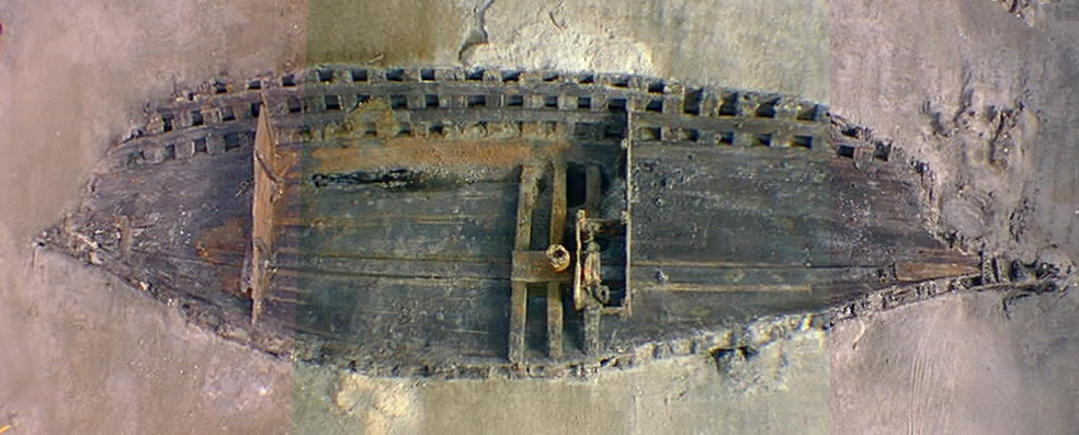 Artifact
Primary source
La Belle Shipwreck and Recovered Hull
French royal navy (built at Rochefort) · 1684 (built); sunk 1686; excavated 1995-97
 Book
Primary source
Description de la Louisiane
Louis Hennepin · 1683
 Document
Primary source
Signature of René-Robert Cavelier, Sieur de La Salle
René-Robert Cavelier, Sieur de La Salle
 Document
Primary source
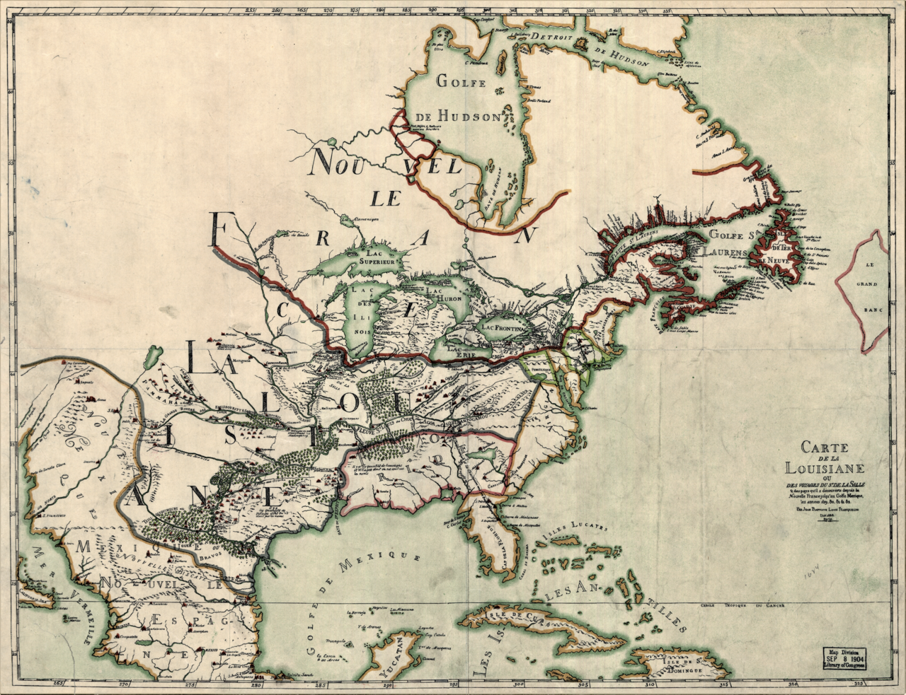
Carte de la Louisiane ou des voyages du Sr. de La Salle
Jean-Baptiste-Louis Franquelin · 1684
 Document
Primary source
Plan présentant le naufrage d'un navire de Cavelier de La Salle en 1686
Unknown, possibly François Le Maire · late 17th or early 18th century
Ready when you are
Start chatting with Robert de La Salle now.
20 messages free · No credit card · Available in 50+ languages.