


Primary sourceDocument
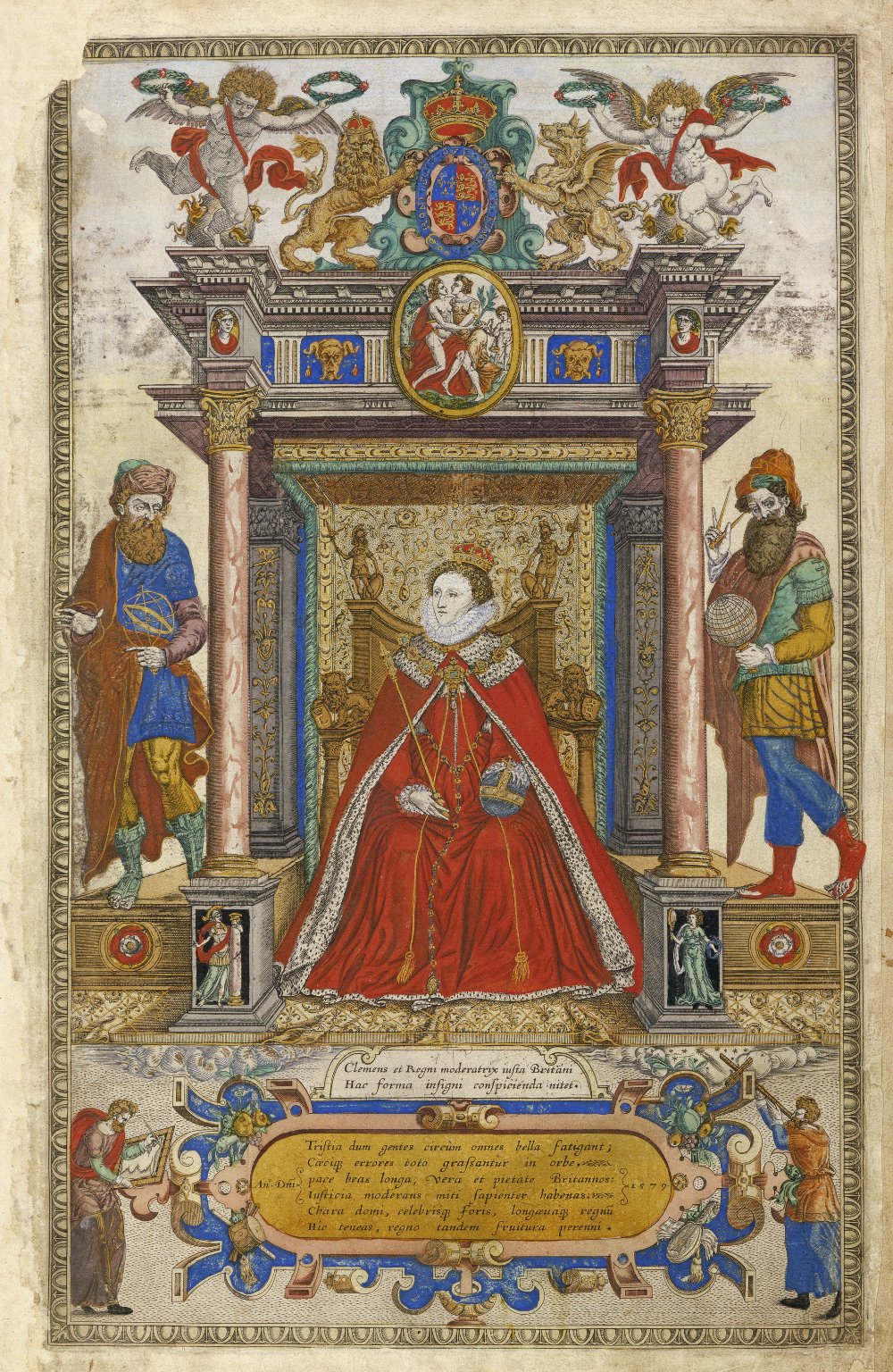
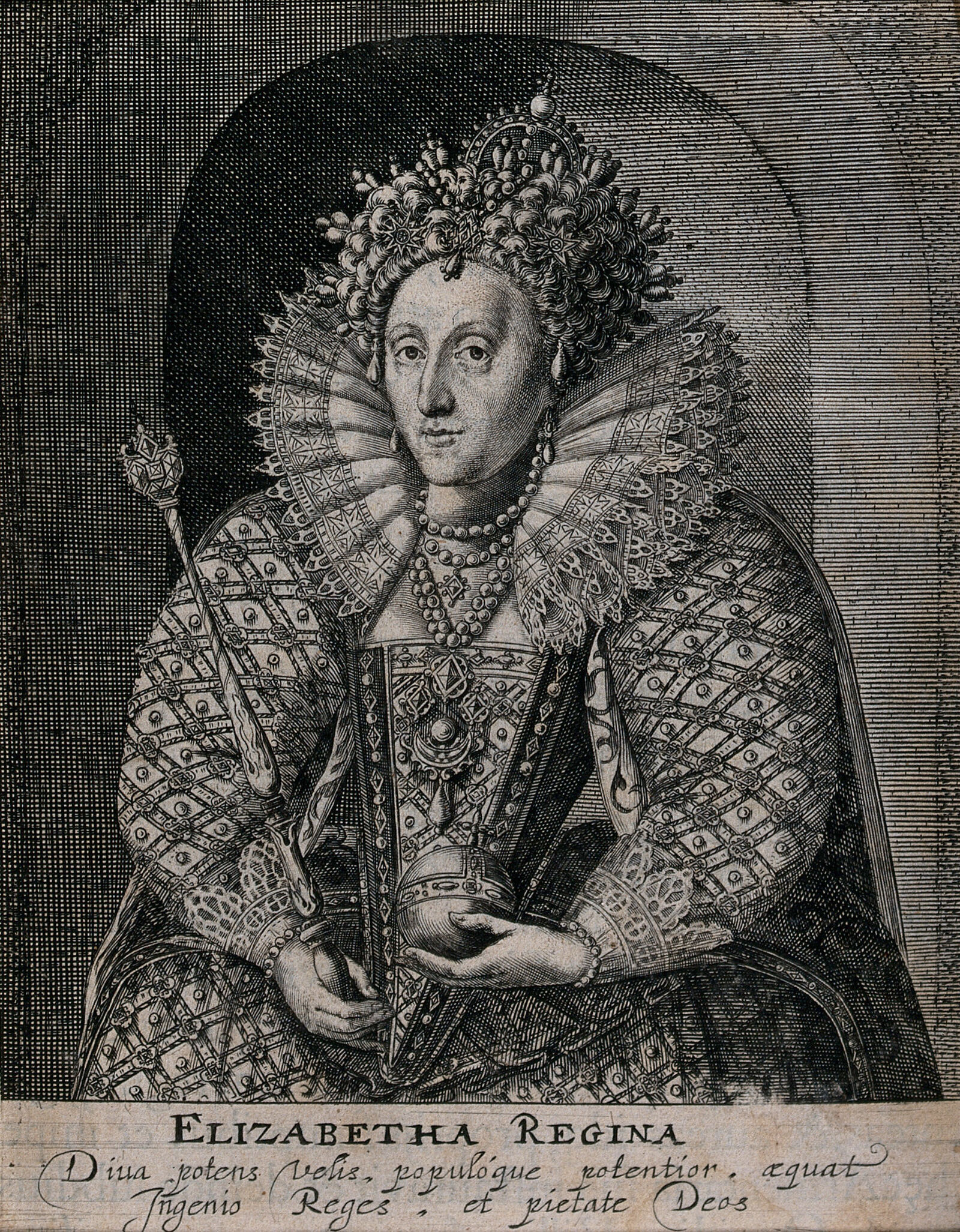
Frontispiece to Saxton's Atlas of the Counties of England and Wales
Remigius Hogenberg
The engraved title page of the first national atlas of England and Wales, showing Elizabeth I enthroned over the mapped realm.
Shows Elizabeth I enthroned as sovereign over the first national atlas made under her government.
About this source
What it is
An engraved frontispiece by Remigius Hogenberg for Christopher Saxton's atlas of the counties of England and Wales, showing Elizabeth I enthroned beneath an arch, flanked by personifications of Geography and Astronomy.
Why it matters
This was the first national county atlas, created under Elizabeth's government, and the image places the queen symbolically in control of the knowledge and mapping of her kingdom. It shows how cartography, science and royal authority were linked in Elizabethan state projects, connecting the work of mapmaker Saxton and engraver Hogenberg to the queen's rule.
Look closer
- Why might a mapmaker choose to place the queen at the centre of an atlas rather than just a map?
- What do the figures of Geography and Astronomy suggest about how knowledge was presented in this period?
- What does this image tell us about who controlled or sponsored the mapping of the country?
This document is part of the curated material that grounds the AI version of Elizabeth I on Humy.ai — when students ask about related events, the AI can quote it and cite it.
More Elizabeth I sources
Meet the AI Elizabeth I →Primary source
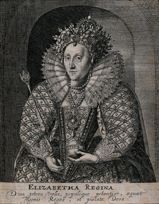
Speech to the Troops at Tilbury
Elizabeth I of England · 1588
 Painting
Secondary source
Queen Elizabeth I of England by Isaac Oliver
Isaac Oliver · 1620
 Painting
Primary source
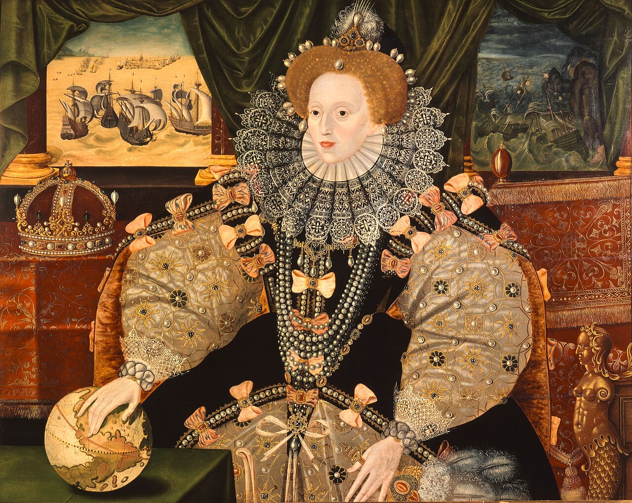
Armada Portrait
Unknown English artist · 1588
 Painting
Secondary source
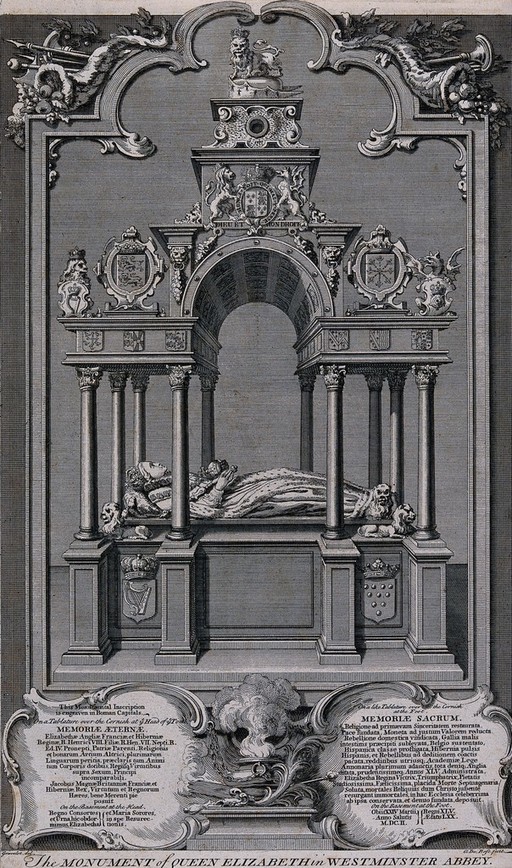
Monument to Queen Elizabeth I in Westminster Abbey
Hubert Francois Bourguignon d'Anville Gravelot
 Painting
Secondary source
Queen Elizabeth I in parliamentary robes
Isaac Oliver · 1600-1699
Ready when you are
Start chatting with Elizabeth I now.
20 messages free · No credit card · Available in 50+ languages.