


Primary sourceDocument1796
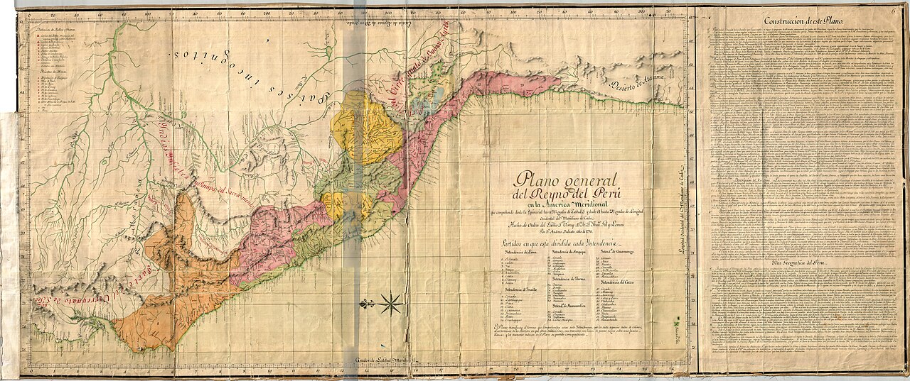
General Plan of the Kingdom of Peru
Andrés Baleato · 1796
A hand-colored 18th-century map of the Viceroyalty of Peru, giving geographic context for the Spanish colonial world Garay served in.
A later map of the Viceroyalty of Peru, giving geographic context for the colonial administration Garay served under.
About this source
What it is
This large hand-colored map, titled Plano general del Reyno del Perú en la America Meridional, was made by Andrés Baleato in 1796. It shows rivers, mountain ranges, and regional boundaries in different colors, with a compass rose, decorative cartouche, and a dense panel of explanatory text.
Why it matters
The map details how the Viceroyalty of Peru was bounded, including its border with the Viceroyalty of Buenos Aires, the territory formed partly from land that had once belonged to Peru. Though made after Juan de Garay's lifetime, it helps show the scale and organization of the Spanish colonial administration he worked within.
Look closer
- What geographic features does the mapmaker use to mark the boundaries between Spanish territories?
- Why might Spain have divided such a huge territory into separate viceroyalties over time?
- What might this map leave out about the people who already lived in these lands before Spanish rule?
This document is part of the curated material that grounds the AI version of Juan de Garay on Humy.ai — when students ask about related events, the AI can quote it and cite it.
More Juan de Garay sources
Meet the AI Juan de Garay →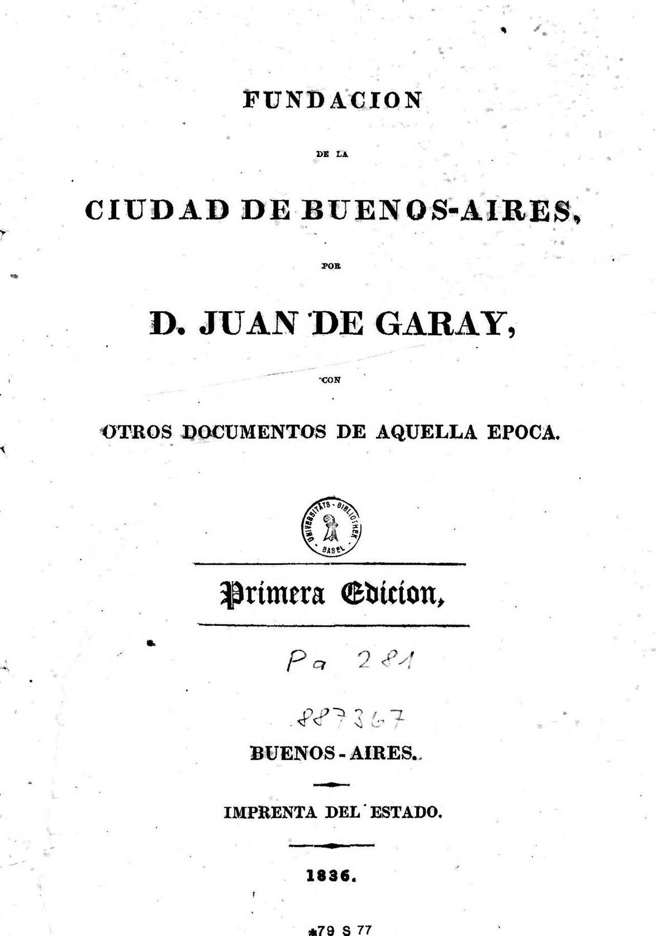 Book
Primary source
Fundación de la ciudad de Buenos-Aires, por D. Juan de Garay, con otros documentos de aquella época
Juan de Garay · 1836
 Book
Primary source
La Argentina, o la conquista del Río de la Plata
Martín del Barco Centenera · 1602
 Painting
Secondary source
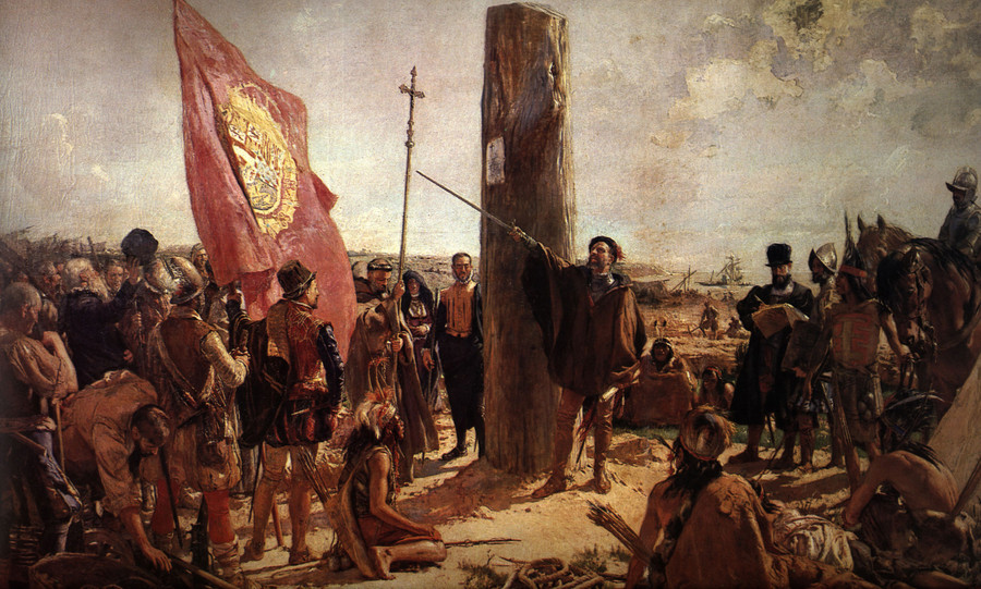
Fundación de Buenos Aires
José Moreno Carbonero · 1923
 Painting
Secondary source
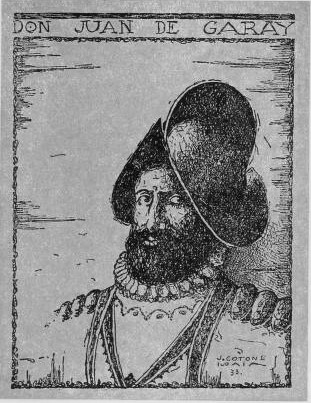
Retrato de Don Juan de Garay
Unknown
 Sculpture
Secondary source
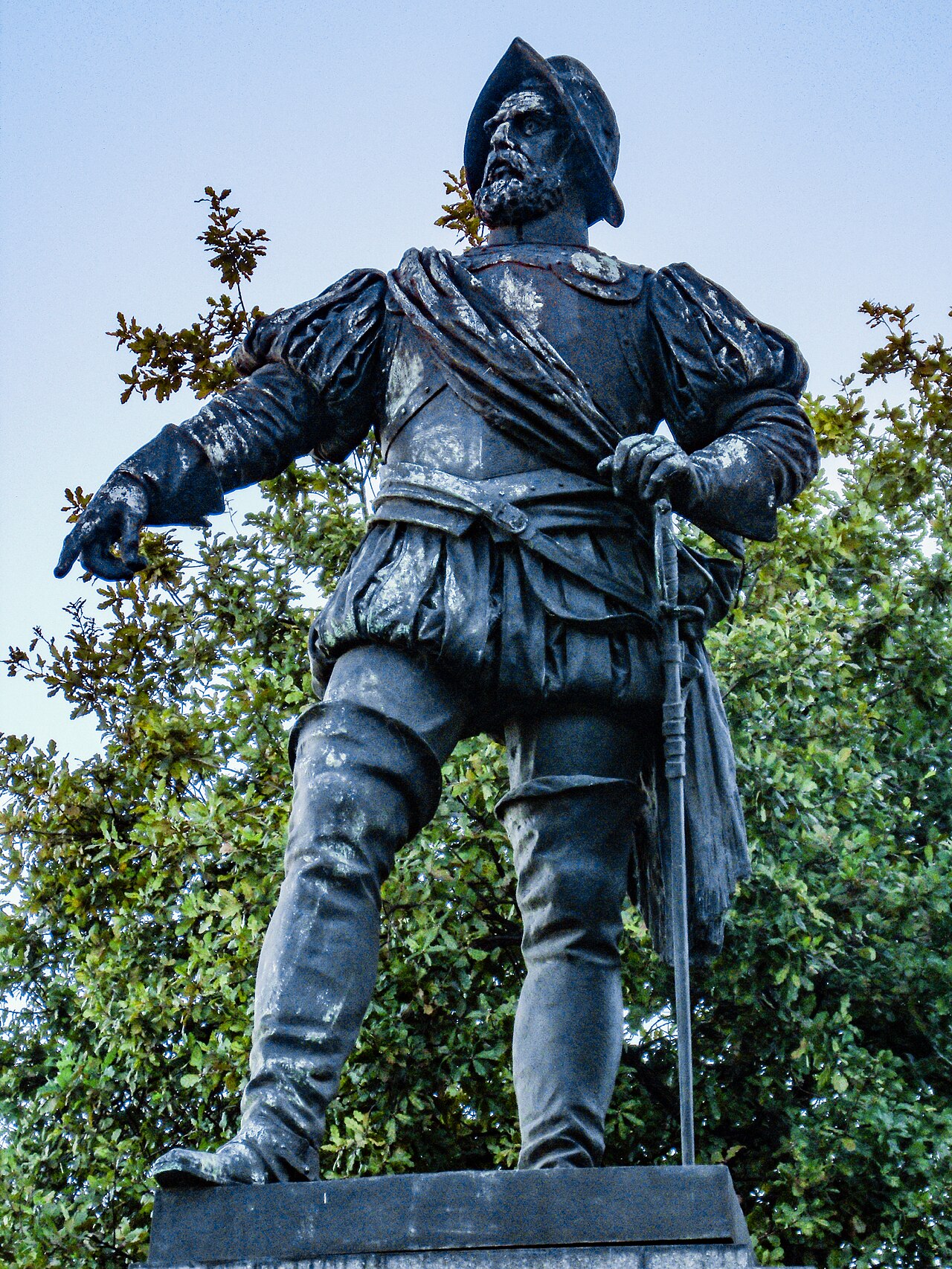
Monument to Juan de Garay
Gustav Eberlein · 1915
Ready when you are
Start chatting with Juan de Garay now.
20 messages free · No credit card · Available in 50+ languages.