


Secondary sourceDocumentbetween 1939 and 1940
Governor Thomas Hutchinson House (Wing), Milton, Survey Drawing
Historic American Buildings Survey · between 1939 and 1940
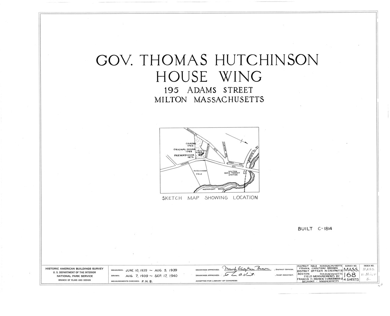
An architectural survey drawing of the wing of the Hutchinson house in Milton, made by the Historic American Buildings Survey.
This survey drawing documents the wing of the house Hutchinson owned in Milton.
About this source
What it is
This is a measured architectural drawing sheet made by the Historic American Buildings Survey between 1939 and 1940. It documents the wing of the house at 195 Adams Street, Milton, Massachusetts, associated with Thomas Hutchinson, and includes a sketch map locating it near the Neponset River.
Why it matters
Government surveys like this one preserve detailed records of historic structures connected to figures such as Hutchinson, long after their lifetimes. The drawing shows how later generations tried to document and protect buildings tied to colonial history.
Look closer
- Why would surveyors in 1939-1940 want precise measurements of an old house wing?
- What might a technical drawing reveal that a photograph cannot, and vice versa?
- What does the title block and map tell you about how this record was made and organized?
This document is part of the curated material that grounds the AI version of Thomas Hutchinson on Humy.ai — when students ask about related events, the AI can quote it and cite it.
More Thomas Hutchinson sources
Meet the AI Thomas Hutchinson → Letter
Primary source
Hutchinson–Whately Letters
Thomas Hutchinson · 1767–1769 (published 1773)
 Book
Primary source
The History of the Colony and Province of Massachusetts-Bay
Thomas Hutchinson · 1764, 1767, 1828
 Painting
Primary source
Portrait of Thomas Hutchinson
Edward Truman · 1741
 Document
Primary source
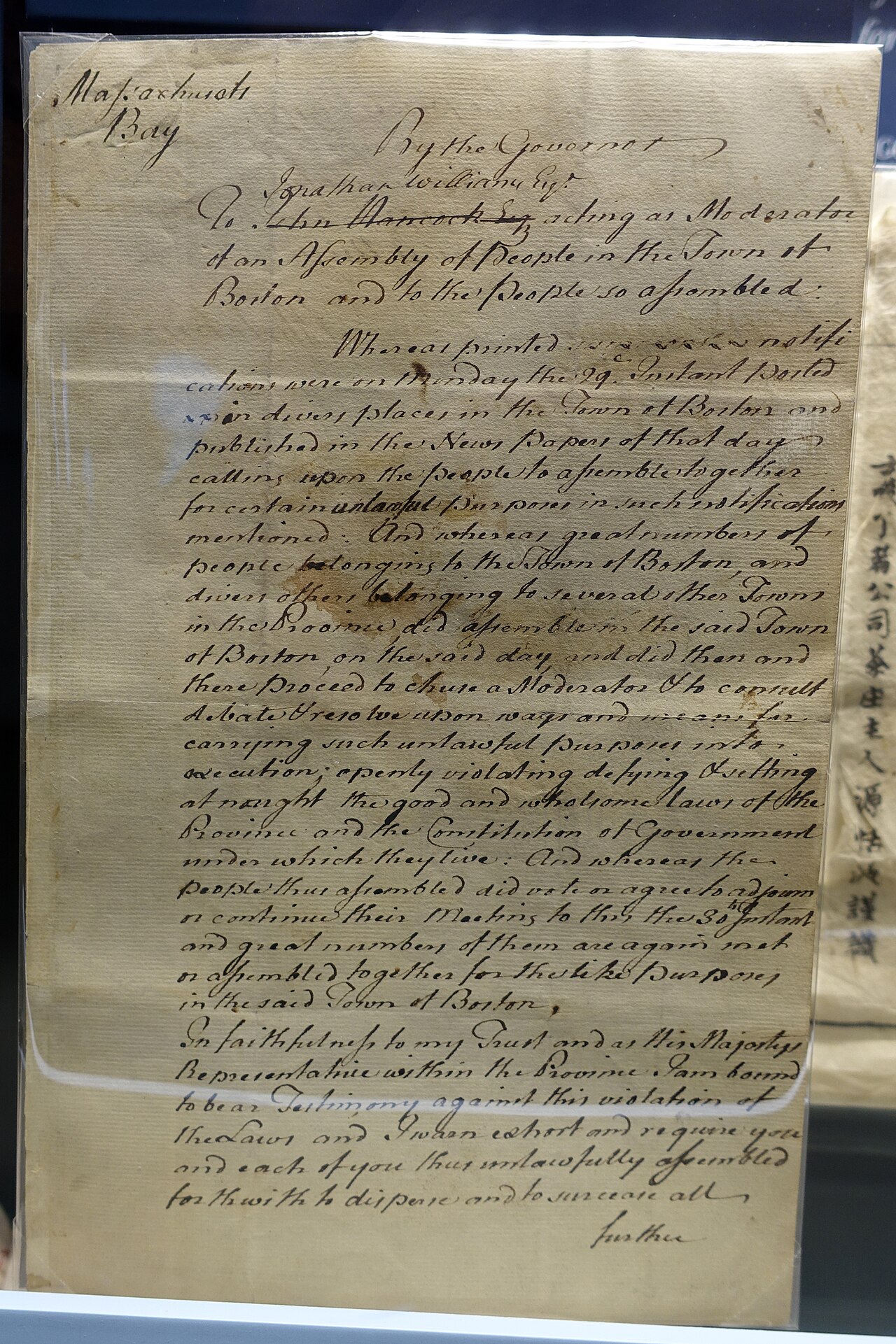
Letter Directing the Old South Tea Meeting to Adjourn
Thomas Hutchinson · November 30, 1773
 Painting
Primary source
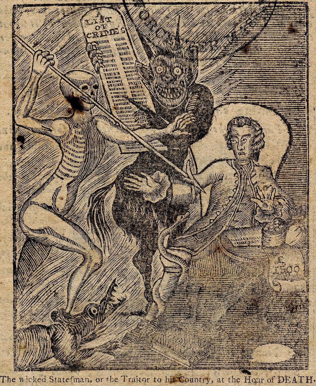
The Wicked Statesman political cartoon
Paul Revere · published 1774
Ready when you are
Start chatting with Thomas Hutchinson now.
20 messages free · No credit card · Available in 50+ languages.