


Secondary sourcePainting2020-03-19
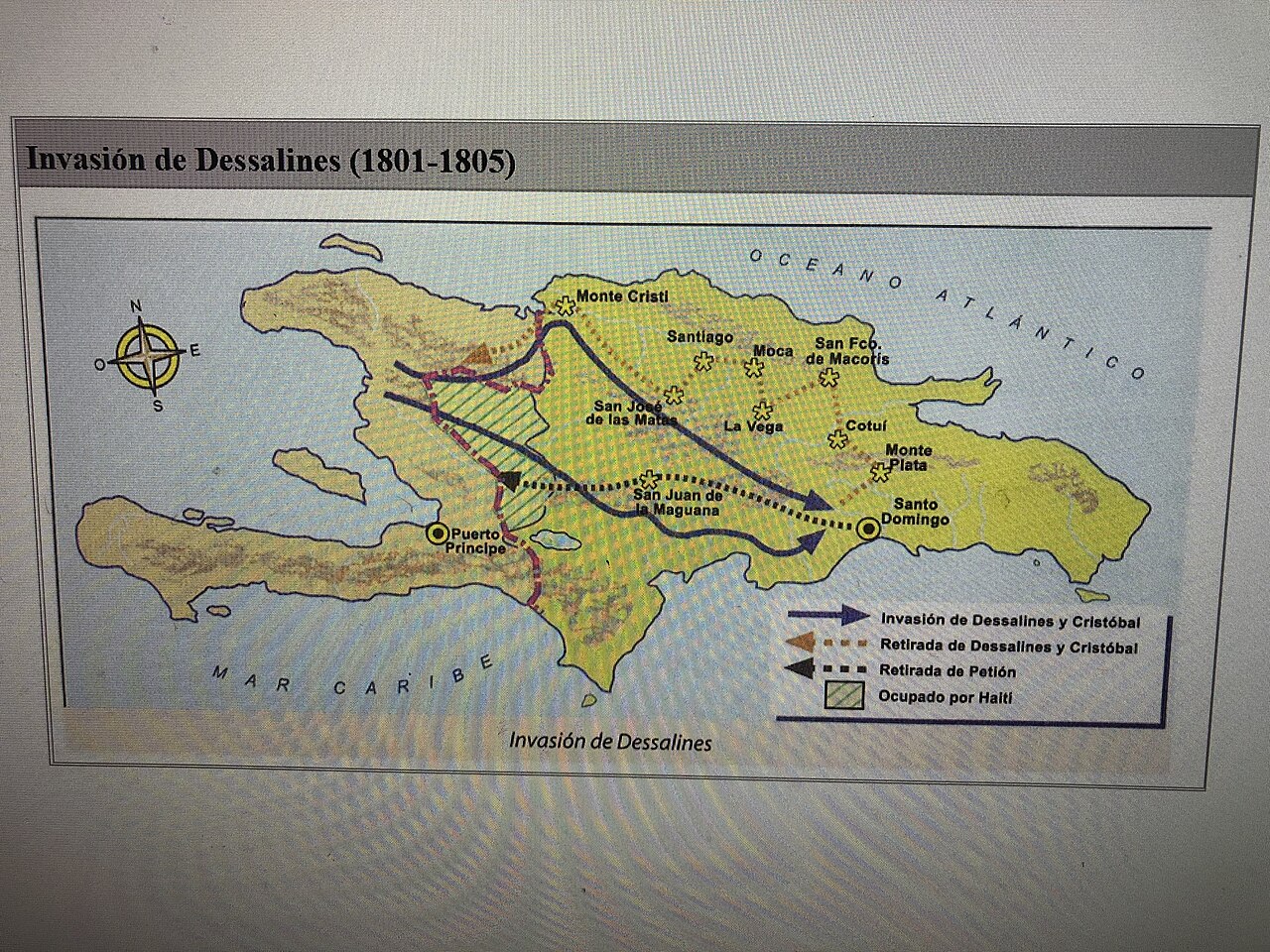
Invasion of Dessalines, 1801-1805
Gustavo Jose Silva Garcia · 2020-03-19
A modern illustrated map tracing the military campaigns and invasion routes led by Dessalines across Hispaniola.
This modern map illustrates the military campaigns led by Dessalines between 1801 and 1805.
About this source
What it is
This 2020 map, created by Gustavo Silva García, shows the island of Hispaniola with arrows marking the invasion and retreat routes associated with Dessalines and Cristóbal between 1801 and 1805, along with the area of Haitian occupation and labeled cities.
Why it matters
This modern map helps visualize the scale and direction of military campaigns tied to Dessalines during the Haitian Revolution and the early years of Haitian independence. Since it was created long after the events, it is an interpretation built from historical sources rather than a document from the time itself.
Look closer
- What do the arrows and shaded areas tell you about the extent of the campaigns shown?
- Why might a modern creator choose to make a map like this instead of relying only on written accounts?
- What questions does this map leave unanswered about the people involved in these campaigns?
This painting is part of the curated material that grounds the AI version of Jean-Jacques Dessalines on Humy.ai — when students ask about related events, the AI can quote it and cite it.
More Jean-Jacques Dessalines sources
Meet the AI Jean-Jacques Dessalines →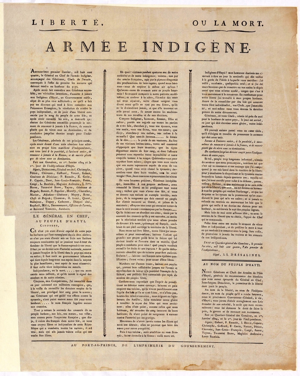 Document
Primary source
Haitian Declaration of Independence
Louis Boisrond-Tonnerre · 1 January 1804
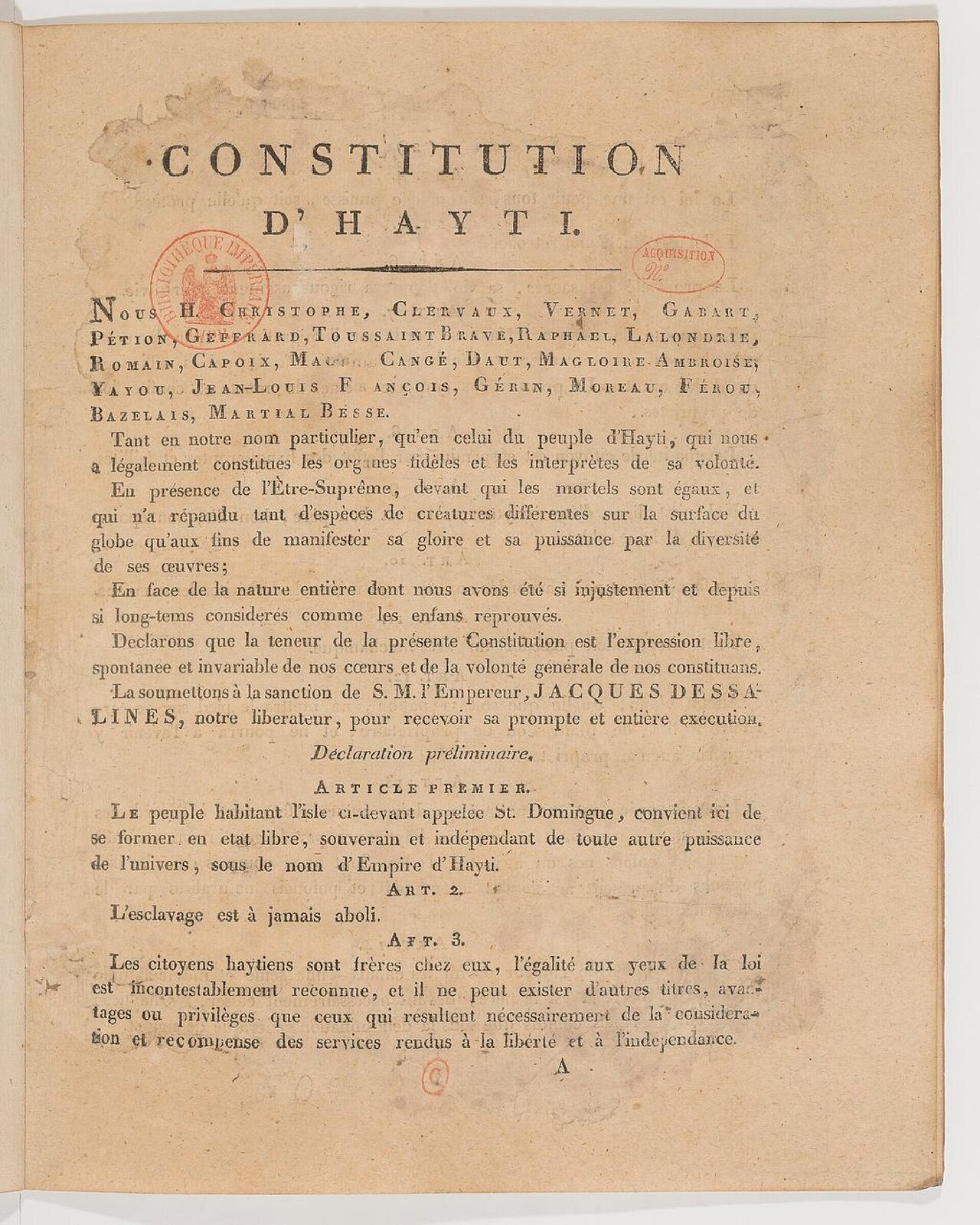 Document
Primary source
Constitution of Hayti
Jean-Jacques Dessalines · 1805
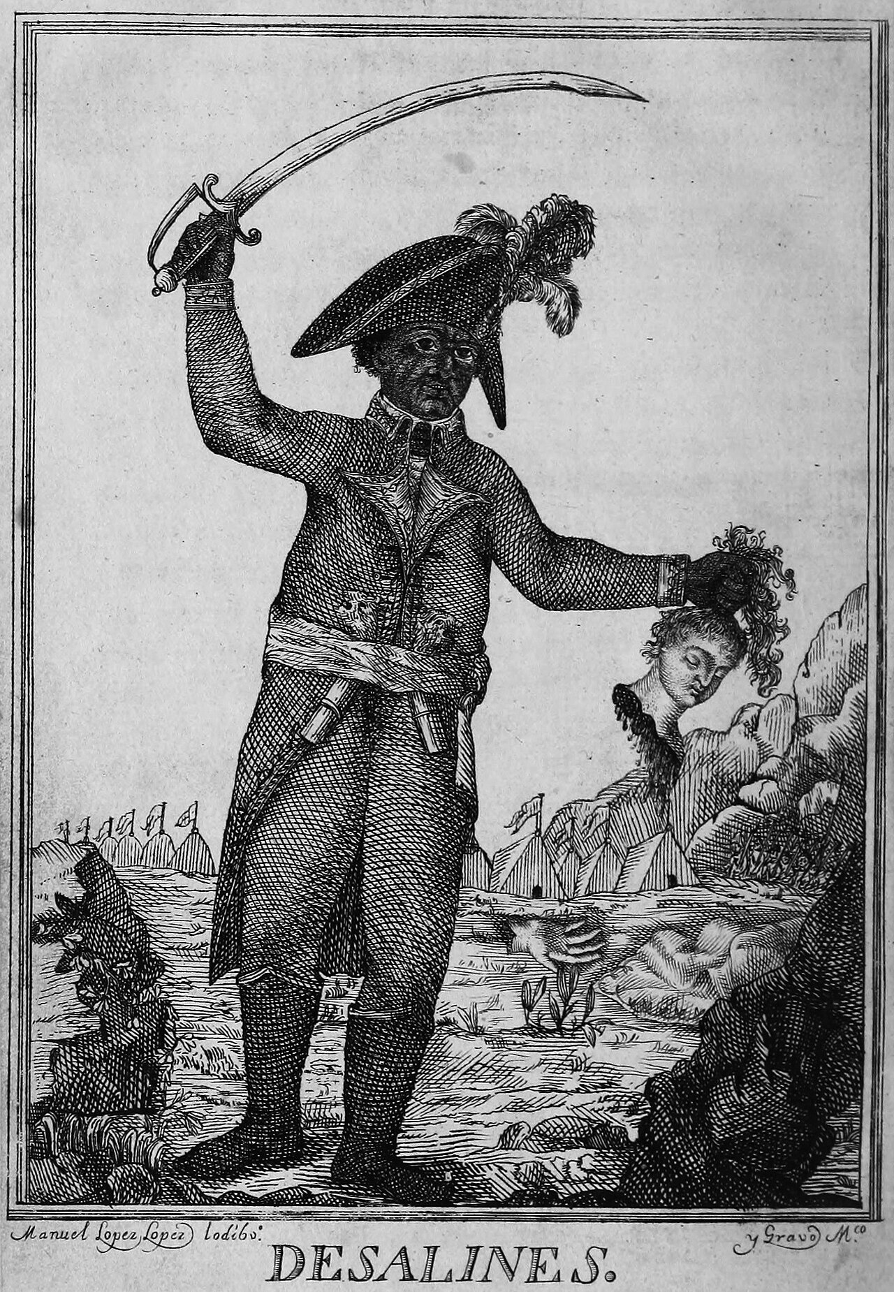 Painting
Secondary source
Desalines
Manuel López López · 1806
 Painting
Secondary source
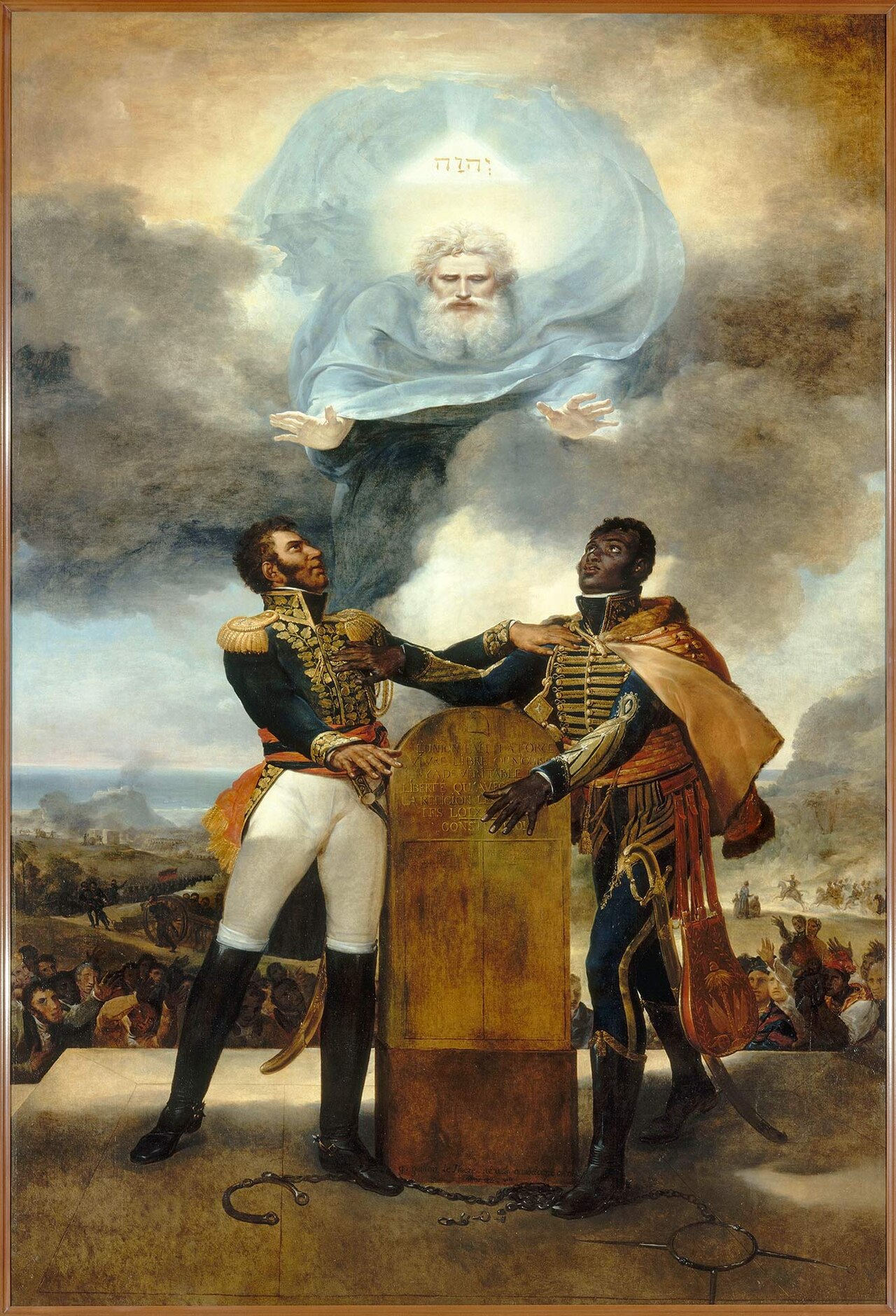
The Oath of the Ancestors
Guillaume Guillon-Lethière · 1822
 Book
Secondary source
La vie de J.J. Dessalines, chef des noirs révoltés de Saint-Domingue
Louis Dubroca · 1804
Ready when you are
Start chatting with Jean-Jacques Dessalines now.
20 messages free · No credit card · Available in 50+ languages.