


Primary sourceDocument1862
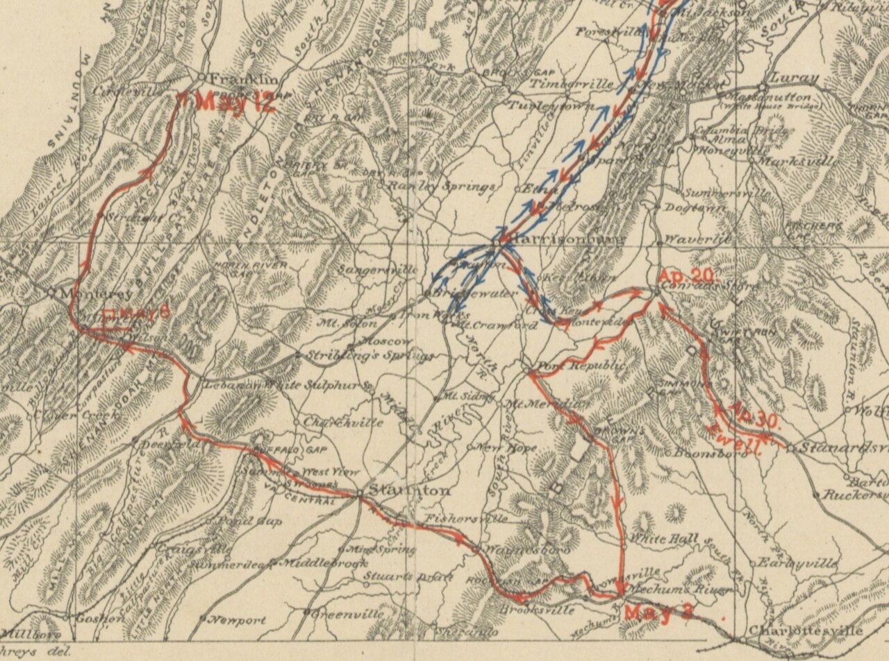
Jackson's March to McDowell, Hotchkiss Map
Jedediah Hotchkiss · 1862
A hand-drawn map by Jedediah Hotchkiss tracing Stonewall Jackson's march and campaign movements through the Shenandoah Valley in 1862.
A map made by Jackson's own topographer, documenting the campaign routes of his famous 1862 Valley campaign.
About this source
What it is
This hand-drawn map shows the terrain of the Shenandoah Valley in Virginia, with route lines and dates tracking troop movements during 1862. It was made by Jedediah Hotchkiss, a topographer who worked for Jackson, as part of a history of Jackson's Valley campaign.
Why it matters
Hotchkiss mapped the ground Jackson's army moved across during the Shenandoah Valley campaign, one of the most celebrated military operations of Jackson's career. As a primary source made by someone who worked directly with Jackson, the map shows how detailed battlefield knowledge shaped Confederate strategy.
Look closer
- What do the red and blue lines on the map tell you about opposing armies' movements?
- Why would a general like Jackson have needed someone like Hotchkiss to make maps for him?
- What can a map like this tell you about a campaign that a written account cannot?
This document is part of the curated material that grounds the AI version of Stonewall Jackson on Humy.ai — when students ask about related events, the AI can quote it and cite it.
More Stonewall Jackson sources
Meet the AI Stonewall Jackson →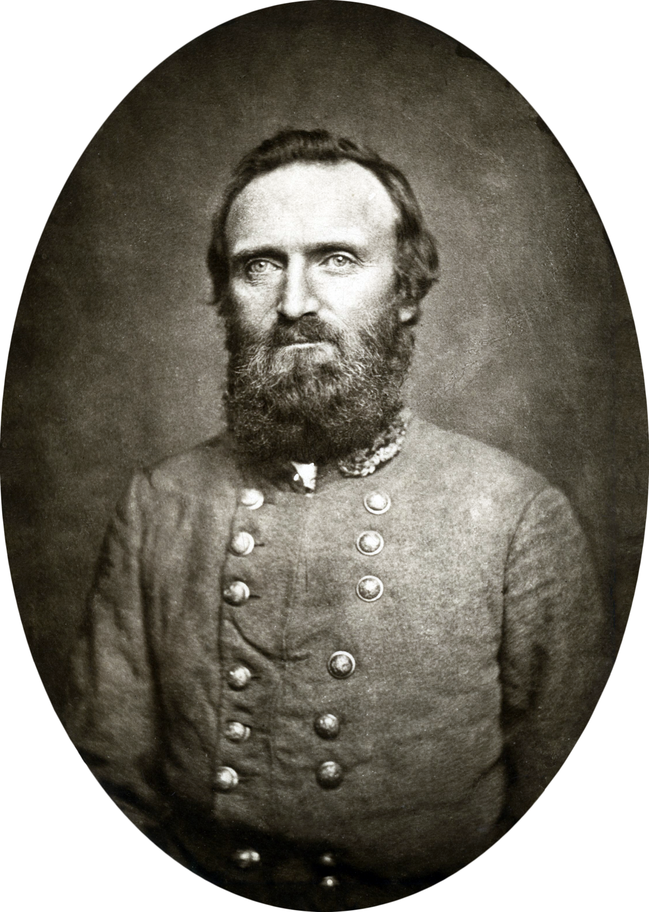 Photograph
Primary source
Stonewall Jackson by Routzahn
Nathaniel Routzahn · November 1862
 Document
Primary source
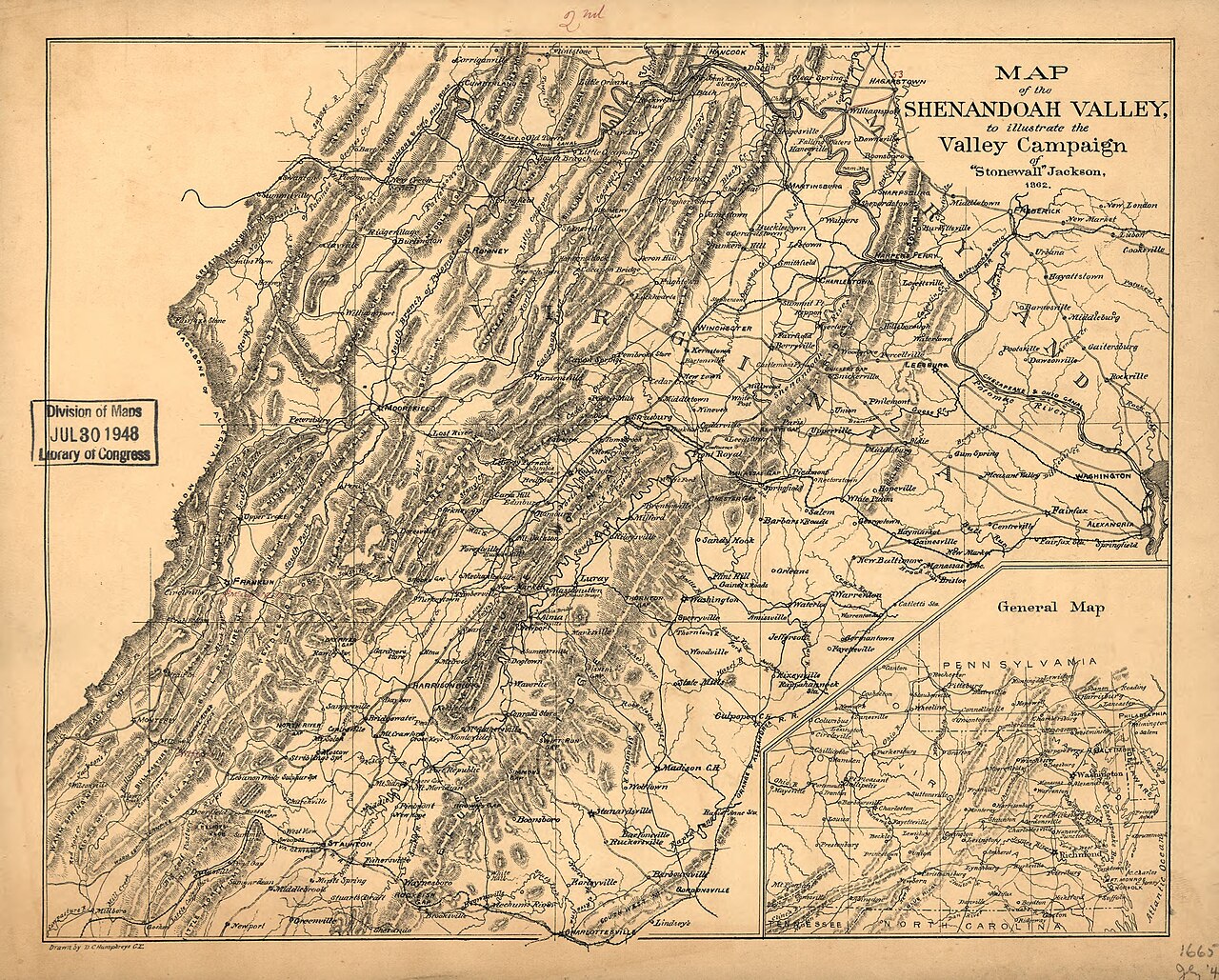
Hotchkiss Map of the Shenandoah Valley
Jedediah Hotchkiss · 1862
 Book
Primary source
Life and Letters of General Thomas J. Jackson
Mary Anna Jackson (editor); Thomas J. Jackson (letters) · 1892
Primary source
Jackson's Last Dispatch to Robert E. Lee, Chancellorsville
Thomas J. Jackson · 2 May 1863
 Photograph
Primary source
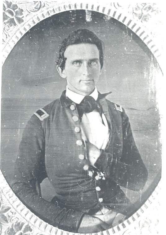
Lieutenant Jackson, 1847
Unknown · 1847
Ready when you are
Start chatting with Stonewall Jackson now.
20 messages free · No credit card · Available in 50+ languages.