


Secondary sourceDocument
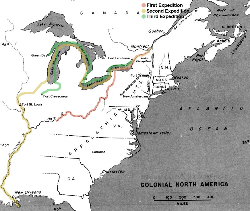
La Salle Expedition Route Map
Charles Edward
A modern map of the routes believed to have been taken on La Salle's expeditions in North America. Some exact paths are uncertain.
A modern route map showing where La Salle's expeditions are believed to have traveled, which helps students place his explorations on a map.
About this source
What it is
This is a modern historical map titled Colonial North America, made by Charles Edward. It shows three colored routes for La Salle's expeditions, drawn in red, yellow and green. The routes run from Montreal and Lake Ontario through the Great Lakes, down the Mississippi to New Orleans, and through the Ohio valley. Labeled places include Quebec, Boston, Jamestown, Charleston, Fort St. Louis, Green Bay and Fort Crèvecoeur.
Why it matters
Maps like this help students see the distances La Salle covered and the places his journeys connected. The source note says the region was unclear at the time, so the exact course of some parts of his travels is not known. A modern map shows the modern understanding of those journeys, not the explorers' own records.
Look closer
- Which places on the map are labeled, and which places important to La Salle's journeys might be missing?
- Why might the map show routes as lines when the real paths were uncertain?
- Who made this map in the present day, and what might they have chosen to emphasize?
This document is part of the curated material that grounds the AI version of Robert de La Salle on Humy.ai — when students ask about related events, the AI can quote it and cite it.
More Robert de La Salle sources
Meet the AI Robert de La Salle →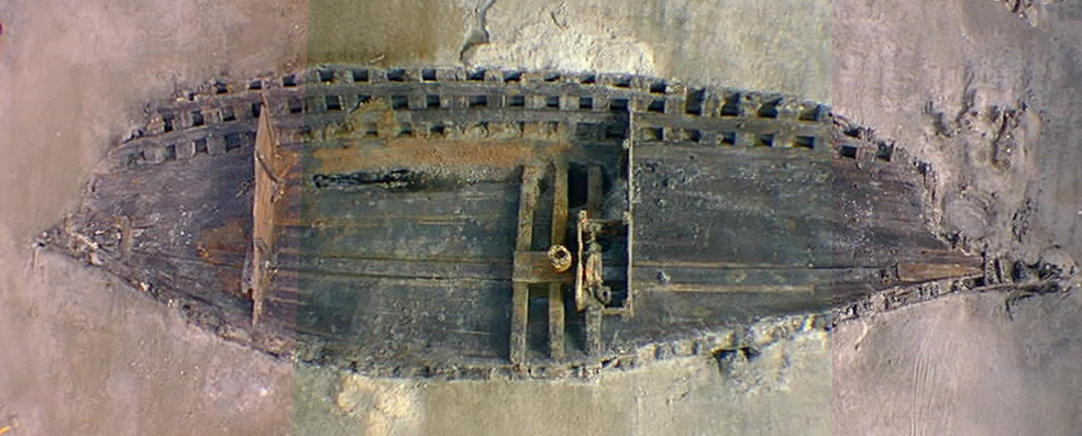 Artifact
Primary source
La Belle Shipwreck and Recovered Hull
French royal navy (built at Rochefort) · 1684 (built); sunk 1686; excavated 1995-97
 Book
Primary source
Description de la Louisiane
Louis Hennepin · 1683
 Document
Primary source
Signature of René-Robert Cavelier, Sieur de La Salle
René-Robert Cavelier, Sieur de La Salle
 Document
Primary source
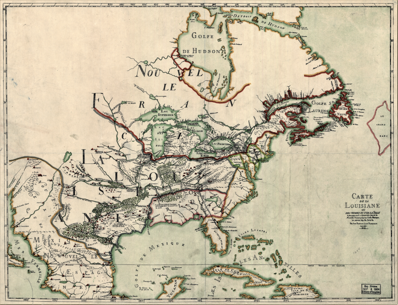
Carte de la Louisiane ou des voyages du Sr. de La Salle
Jean-Baptiste-Louis Franquelin · 1684
 Document
Primary source
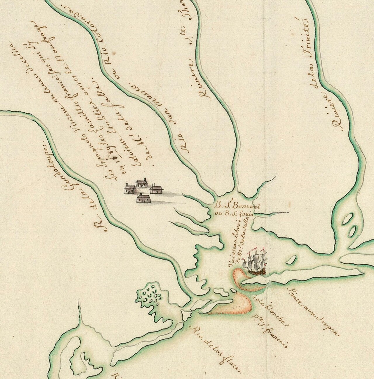
Plan présentant le naufrage d'un navire de Cavelier de La Salle en 1686
Unknown, possibly François Le Maire · late 17th or early 18th century
Ready when you are
Start chatting with Robert de La Salle now.
20 messages free · No credit card · Available in 50+ languages.