


Primary sourceArtifactc. 1730
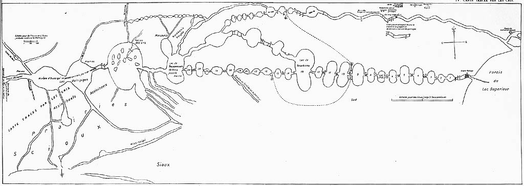
La Vérendrye Map
Auchagah · c. 1730
A map of canoe routes between Lake Superior and Lake Winnipeg, drawn by the Cree guide Auchagah for La Vérendrye.
La Vérendrye used this Indigenous-made map to plan his westward expeditions, showing his reliance on Native geographic knowledge.
About this source
What it is
This hand-drawn map, made around 1730 by the Cree guide Auchagah, shows waterways, lakes and trails across the Boundary Waters region, including Lake Superior, the Kaministiquia River, Rainy Lake, Lake of the Woods and Lake Winnipeg. It carries French labels, including a note that it was traced by the Cree.
Why it matters
La Vérendrye gathered this map from Auchagah to plan his expeditions into the interior. It shows that his exploration depended heavily on Indigenous knowledge of the land, routes and distances, knowledge that French explorers could not have gained alone.
Look closer
- What does this map tell us about who really knew the geography of this region?
- Why would La Vérendrye want a map made by a Cree guide rather than one made by Europeans?
- What is missing from a map like this that a modern map would include?
This artifact is part of the curated material that grounds the AI version of Pierre Gaultier de Varennes, sieur de La Vérendrye on Humy.ai — when students ask about related events, the AI can quote it and cite it.
More Pierre Gaultier de Varennes, sieur de La Vérendrye sources
Meet the AI Pierre Gaultier de Varennes, sieur de La Vérendrye → Diary entry
Primary source
Journals and Letters of La Vérendrye
Pierre Gaultier de Varennes, sieur de La Vérendrye · 1738–1739
 Artifact
Secondary source
Memorial Hall Museum
1880
 Artifact
Secondary source
Fort Saint Charles
1732 (reconstructed)
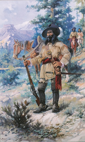 Painting
Secondary source
Pierre de La Verendrye
Edgar Samuel Paxson · 1912
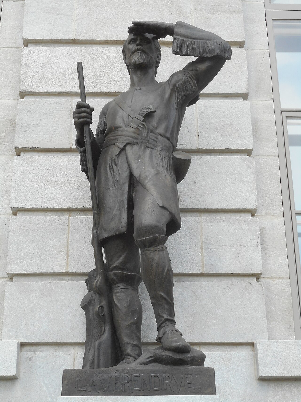 Sculpture
Secondary source
Statue of La Vérendrye at Quebec's Parliament Building
Jean Bailleul
Ready when you are
Start chatting with Pierre Gaultier de Varennes, sieur de La Vérendrye now.
20 messages free · No credit card · Available in 50+ languages.