


Primary sourceArtifact1502
Leonardo da Vinci's Map of Imola
Leonardo da Vinci · 1502
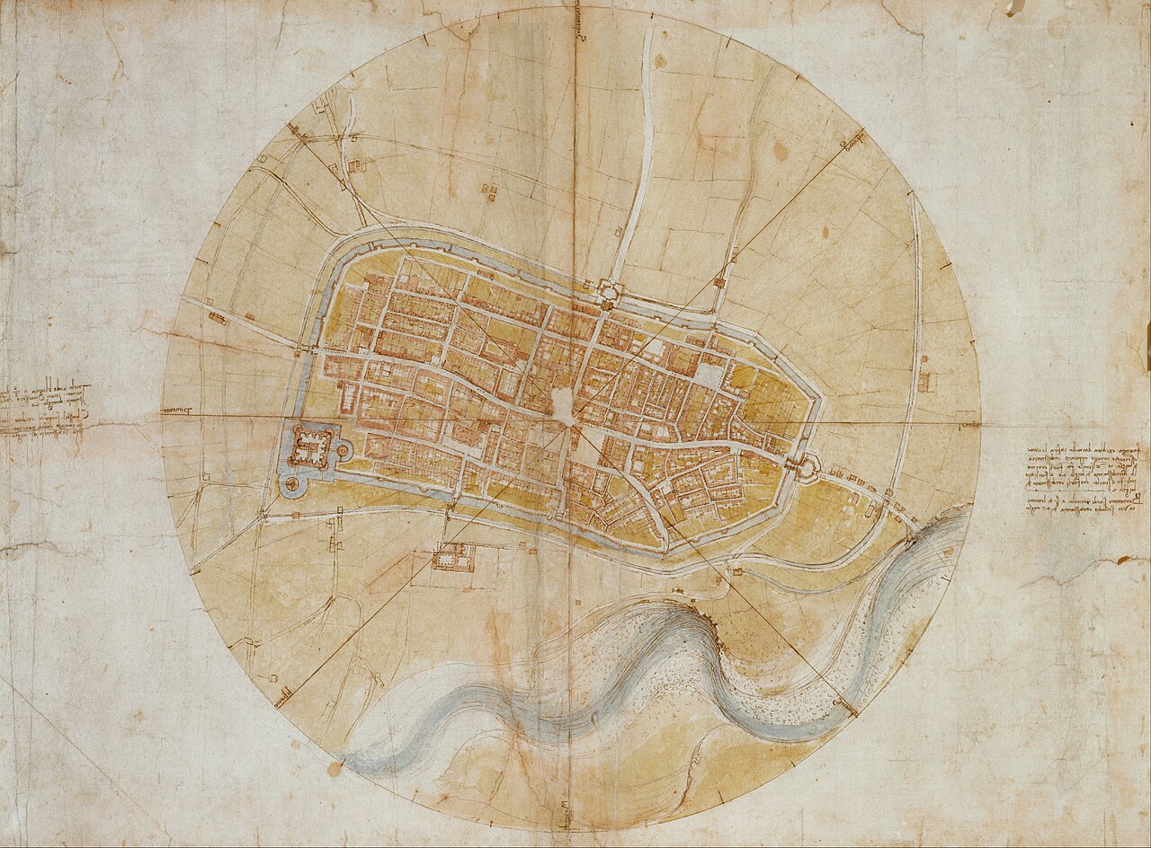
A town plan of Imola made by Leonardo da Vinci in 1502 while serving as Cesare Borgia's military engineer.
Leonardo made this map to win Cesare's patronage, and it reflects Cesare's military control over his new Romagna territories.
About this source
What it is
This is a circular town plan of Imola, drawn by Leonardo da Vinci in 1502 in ink and colour washes on paper. It shows the town's streets, buildings and walls, with a river running along the bottom and handwritten notes at the edges. It is held in the Royal Collection at Windsor Castle.
Why it matters
Leonardo made this map to win the patronage of Cesare Borgia, who had taken Imola as part of his new Romagna state. After seeing it, Cesare hired Leonardo as his chief military engineer and architect. The map is an early example of a precise, measured town plan, showing how Leonardo's scientific skills served Cesare's military and political ambitions.
Look closer
- Why might a ruler like Cesare value an accurate map of a town he controlled?
- What does the map's precision suggest about how Leonardo approached his work?
- What can't a map like this tell you about daily life inside the town?
This artifact is part of the curated material that grounds the AI version of Cesare Borgia on Humy.ai — when students ask about related events, the AI can quote it and cite it.
More Cesare Borgia sources
Browse all 51 →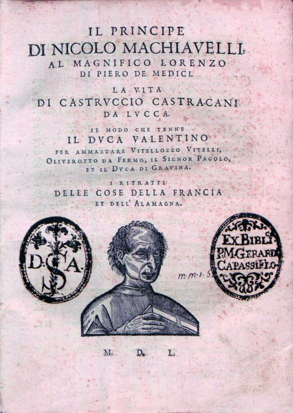 Book
Primary source
The Prince
Niccolò Machiavelli · 1513
 Book
Primary source
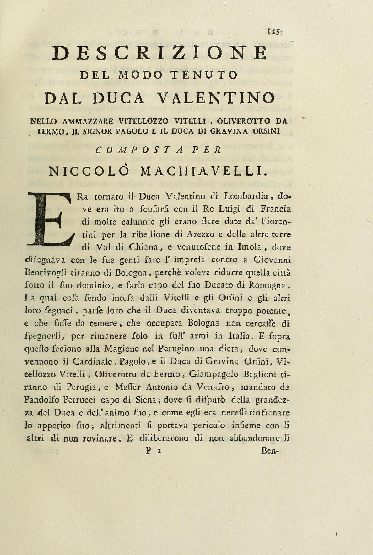
Description of the Manner in which Duke Valentino put Vitellozzo Vitelli, Oliverotto da Fermo, Lord Pagolo and the Duke of Gravina to Death
Niccolò Machiavelli · 1502-1503 (printed 1532)
 Document
Primary source
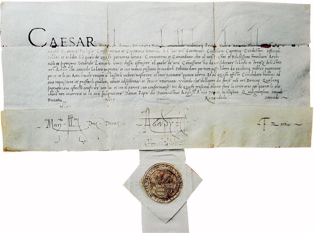
Safe-Conduct from Cesare Borgia
Cesare Borgia · 1502
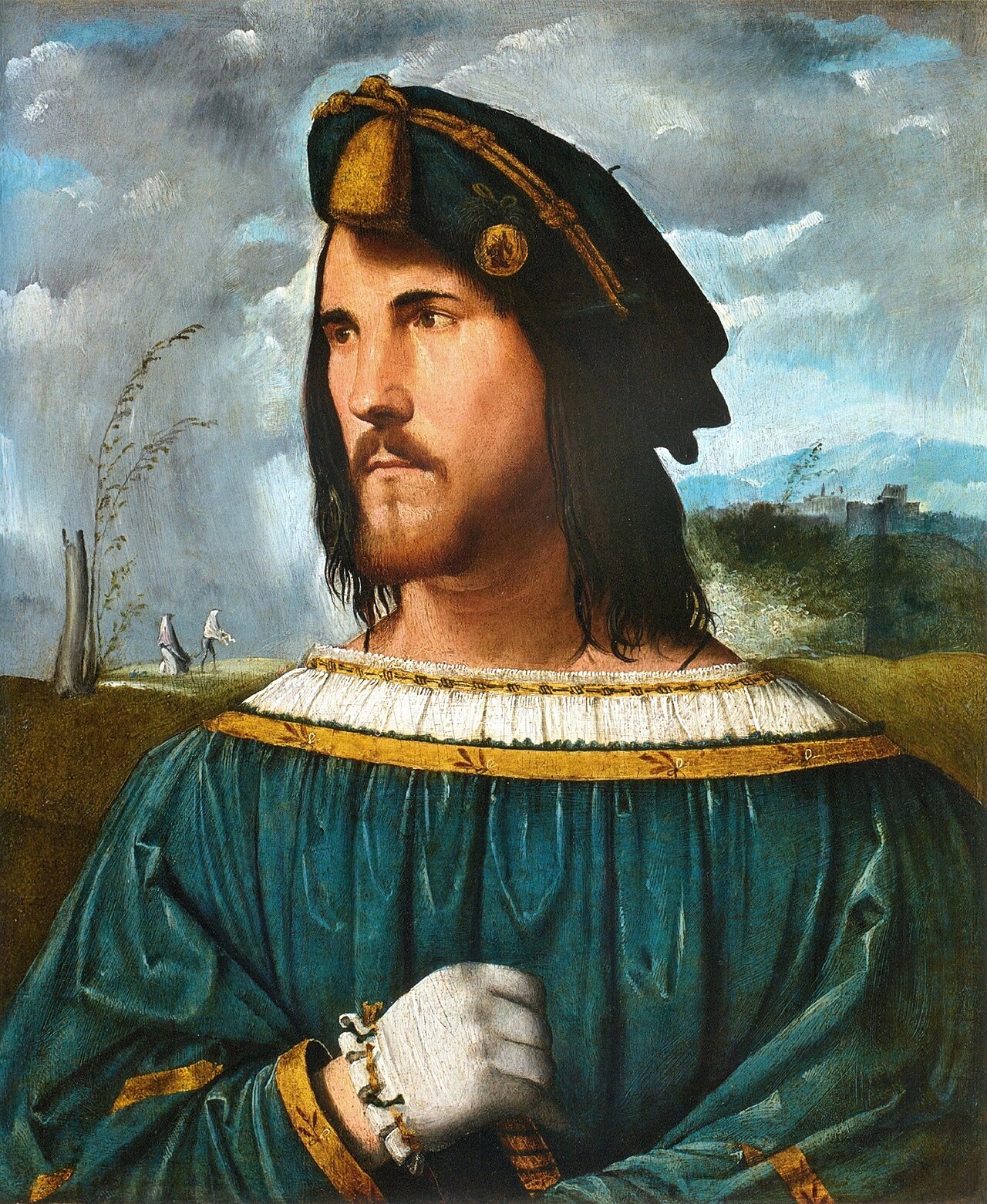 Painting
Primary source
Portrait of a Gentleman
Altobello Melone · 1513
Free account
Read every Cesare Borgia source
Sign up free →
Ready when you are
Start chatting with Cesare Borgia now.
20 messages free · No credit card · Available in 50+ languages.