


Tertiary sourceDocument15 November 2007
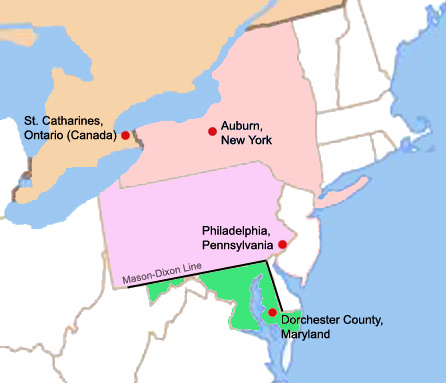
Map of four key locations in Harriet Tubman's life
Scartol · 15 November 2007
A modern map marking four places central to Harriet Tubman's life: Dorchester County, Philadelphia, Auburn, and St. Catharines.
A modern map tracing key places in Tubman's life and the route to freedom she pioneered.
About this source
What it is
This map, created in 2007 by Scartol, shows four key locations connected to Harriet Tubman's life: Dorchester County, Maryland; Philadelphia, Pennsylvania; Auburn, New York; and St. Catharines, Ontario. It also marks the Mason-Dixon Line dividing slave and free states.
Why it matters
The map helps show the geography behind Tubman's journeys—from the place she was born into slavery to the free territories she helped others reach. It is a modern teaching tool, not an object from her own time.
Look closer
- Why would crossing the Mason-Dixon Line have mattered so much to someone escaping slavery?
- What does the distance between these four points suggest about the dangers of such journeys?
- How is a map like this different from a firsthand account or letter as a historical source?
This document is part of the curated material that grounds the AI version of Harriet Tubman on Humy.ai — when students ask about related events, the AI can quote it and cite it.
More Harriet Tubman sources
Meet the AI Harriet Tubman →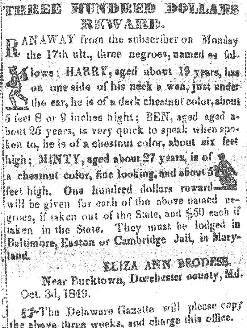 Newspaper article
Primary source
Three Hundred Dollars Reward Notice
Eliza Ann Brodess · 3 October 1849
 Photograph
Primary source
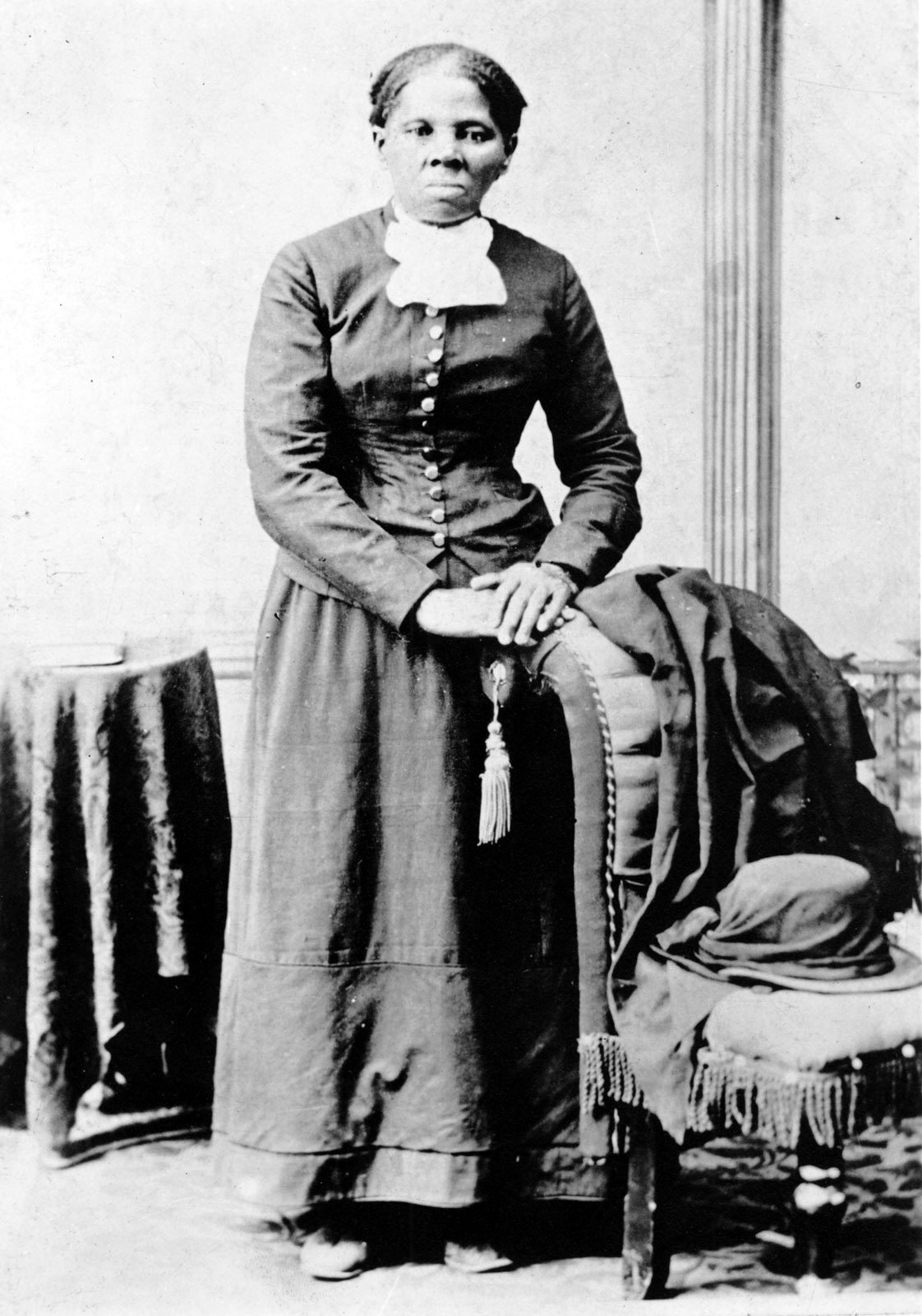
Harriet Tubman
Harvey B. Lindsley · c. 1871-1876
 Book
Secondary source
Harriet, the Moses of Her People
Sarah Bradford · 1886
 Photograph
Primary source
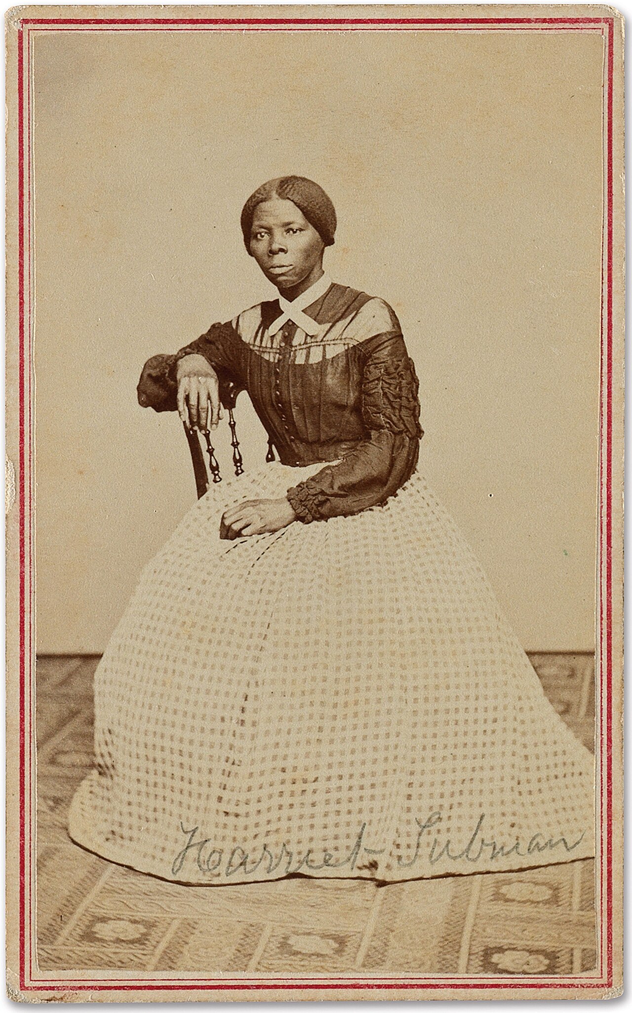
Carte-de-visite Portrait of Harriet Tubman
Benjamin Powelson · c. 1868-1869
 Document
Primary source
General Affidavit of Harriet Tubman
Harriet Tubman · 1898
Ready when you are
Start chatting with Harriet Tubman now.
20 messages free · No credit card · Available in 50+ languages.