


Secondary sourceDocument1919
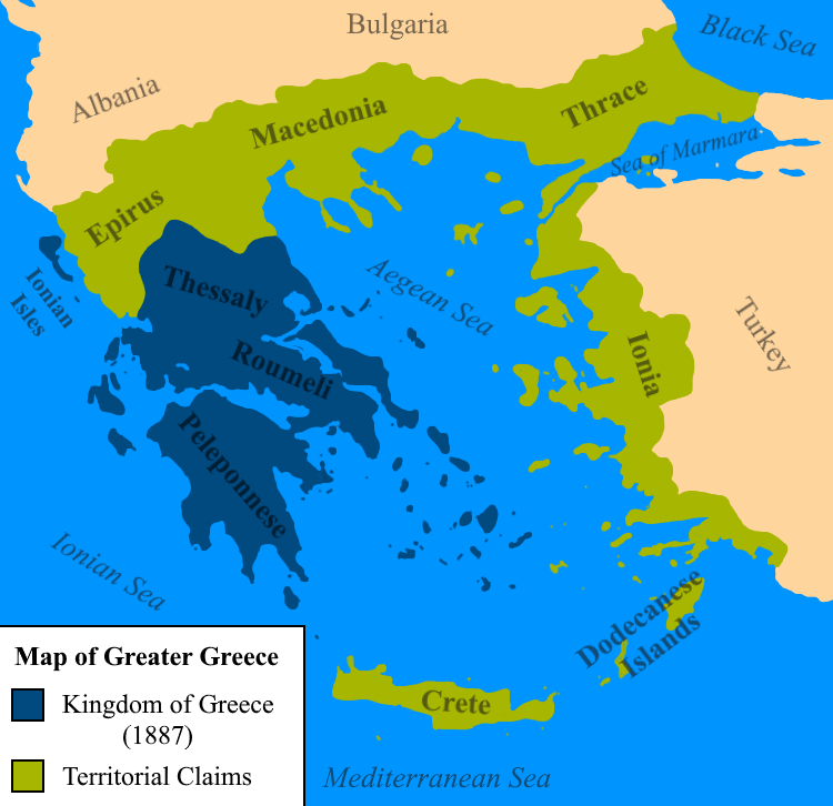
Map of Greater Greece
LegionaryIX (photo by Hakop-2) · 1919
A map showing the enlarged Greek state Venizelos proposed at the Paris Peace Conference in 1919, based on ethnic Greek population distribution.
The map illustrates the enlarged Greece that Venizelos proposed at the Paris Peace Conference as part of the Megali Idea.
About this source
What it is
This map shows
This document is part of the curated material that grounds the AI version of Eleftherios Venizelos on Humy.ai — when students ask about related events, the AI can quote it and cite it.
More Eleftherios Venizelos sources
Browse all 98 →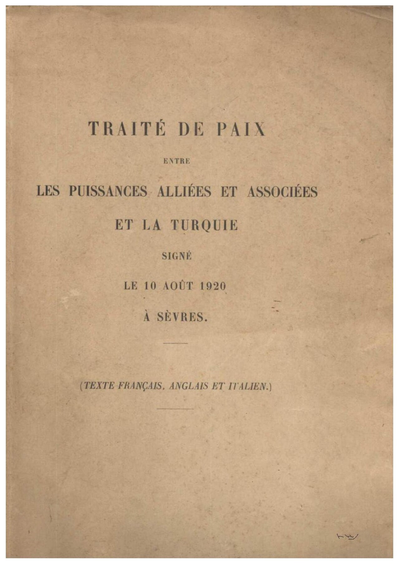 Document
Primary source
Treaty of Sèvres
10 August 1920
 Document
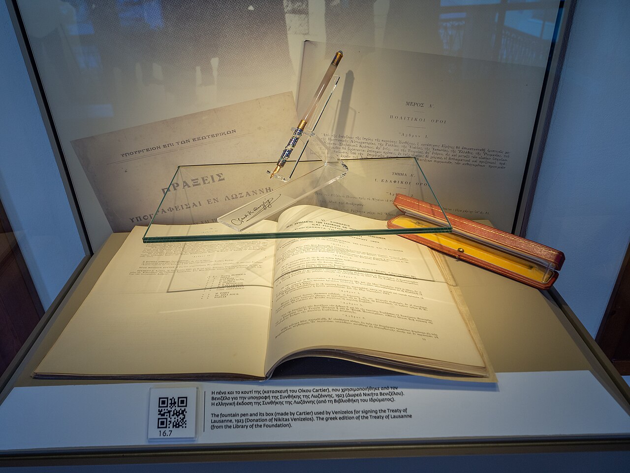
Primary source
Treaty of Lausanne
24 July 1923
 Document
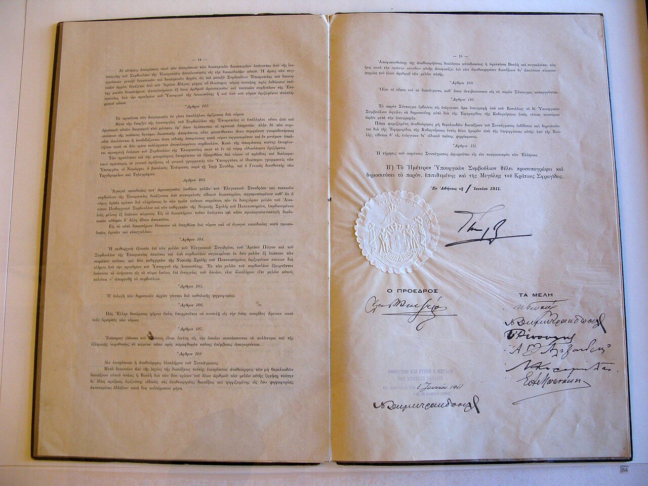
Primary source
Greek Constitution of 1911
7 June 1911
 Document
Primary source
Greece before the Peace Congress of 1919
Eleftherios Venizelos · 1919
Free account
Read every Eleftherios Venizelos source
Sign up free →
Ready when you are
Start chatting with Eleftherios Venizelos now.
20 messages free · No credit card · Available in 50+ languages.