


Secondary sourceDocument1814
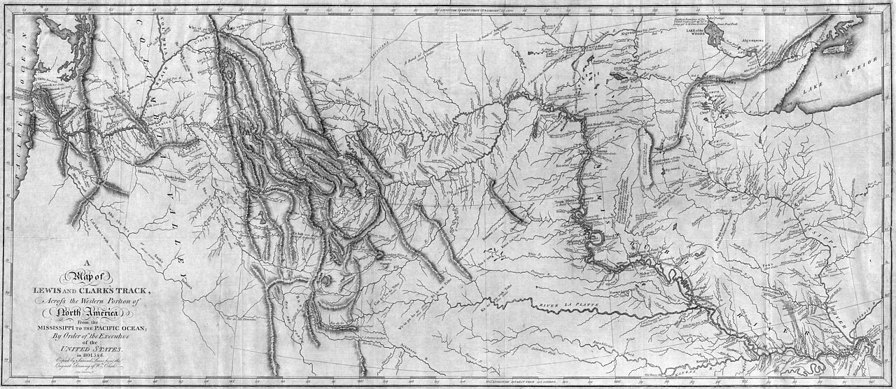
Map of Lewis and Clark's Track across Western North America
1814
An 1814 published map tracing the Lewis and Clark expedition route that Sacagawea guided as interpreter and guide.
A map of the upper Missouri River region where Manuel Lisa established his trading posts and routes.
About this source
What it is
An engraved map published in 1814 titled 'Map of Lewis and Clark's Track, Across the Western Portion of North America.' It shows rivers, mountain ranges, and the expedition's route from the Mississippi River to the Pacific Ocean.
Why it matters
This map was created after the expedition ended, using the explorers' records, to show the public the route Lewis and Clark had taken. Sacagawea traveled this route with them as guide, interpreter, and intermediary with Native nations. The map represents how the journey was presented to Americans back east, not how she or other Native people experienced the land.
Look closer
- Whose names and knowledge are credited on this map?
- What geographic details might come from local Native knowledge rather than Lewis and Clark's own observation?
- Why was this map published years after the expedition took place?
This document is part of the curated material that grounds the AI version of Manuel Lisa, Sacajawea and Meriwether Lewis on Humy.ai — when students ask about related events, the AI can quote it and cite it.
More Manuel Lisa sources
Meet the AI Manuel Lisa →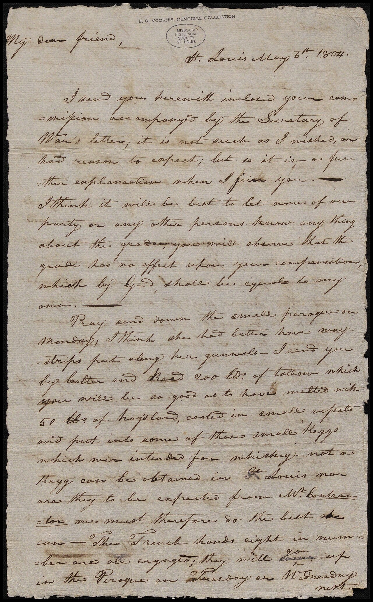 Letter
Primary source
Letter from Meriwether Lewis to William Clark, May 6, 1804
Meriwether Lewis · 6 May 1804
 Painting
Primary source
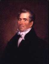
Portrait of Manuel Lisa
 Painting
Secondary source
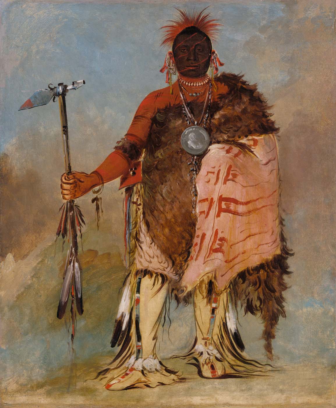
Om-pah-tón-ga, Big Elk, a Famous Warrior
George Catlin · 1832
Primary source
An Account of Expeditions to the Sources of the Mississippi
Zebulon Pike · 1810
 Book
Primary source
Travels in the Interior of America, in the Years 1809, 1810, and 1811
John Bradbury · 1817
Ready when you are
Start chatting with Manuel Lisa now.
20 messages free · No credit card · Available in 50+ languages.