


Primary sourceDocument1798
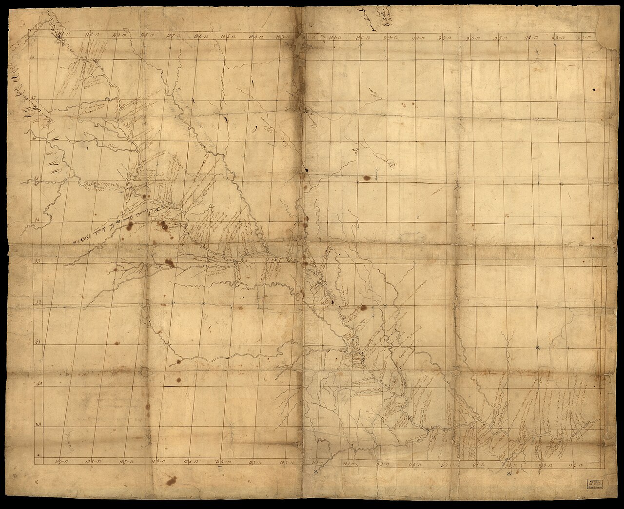
Map of Missouri River from St. Charles to Mandan villages
Nicolas de Finiels · 1798
A hand-drawn 1798 manuscript map of the Missouri River by Nicolas de Finiels, credited to Lewis and used on the 1804 expedition. Its verso carries notes by William Henry Harrison.
Shows the river route Lewis later used, and notes on its back link it to the preparations for his expedition.
About this source
What it is
This is a hand-drawn manuscript map of the Missouri River from St. Charles to the Mandan villages, dated 1798 and credited to Nicolas de Finiels, with Lewis, Clark, Harrison, Mackay and Evans also listed as creators. It is drawn in pen and ink on aged tan paper, with a ruled grid of latitude and longitude lines. The map is held by the Library of Congress. Its surveys reach the Mandan-Hidatsa villages, and it is noted as not drawn to scale. On the back, William Henry Harrison wrote, but did not sign, that it was meant for Captain William Clark or Captain Meriwether Lewis on their voyage up the Mississippi.
Why it matters
The map shows the river route that Lewis later followed in 1804. It was based on surveys by James Mackay and John Evans, so it draws on the work of traders and explorers before the expedition. Its note on the back links it to Harrison, a future president, and to the preparations for the journey. It shows how planning for the expedition relied on earlier maps made by other people.
Look closer
- Which features of the river and land does the mapmaker show, and which are left blank or inaccurate?
- Why might the map not be drawn to scale, and what does that suggest about how it was made?
- What does Harrison's note on the back tell you about who was preparing the expedition, and for what purpose?
This document is part of the curated material that grounds the AI version of Meriwether Lewis on Humy.ai — when students ask about related events, the AI can quote it and cite it.
More Meriwether Lewis sources
Meet the AI Meriwether Lewis →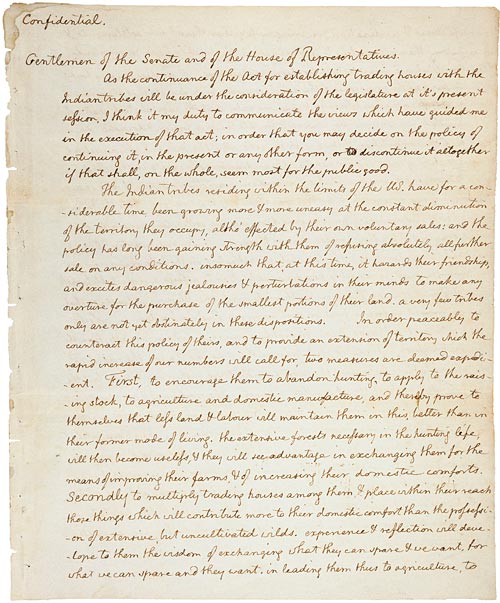 Document
Primary source
Jefferson's Secret Message to Congress Regarding the Lewis and Clark Expedition
Thomas Jefferson · 18 January 1803
Primary source
The Journals of Lewis and Clark
Meriwether Lewis and William Clark · 1804-1806
Primary source
Louisiana Purchase Treaty
30 April 1803
 Painting
Primary source
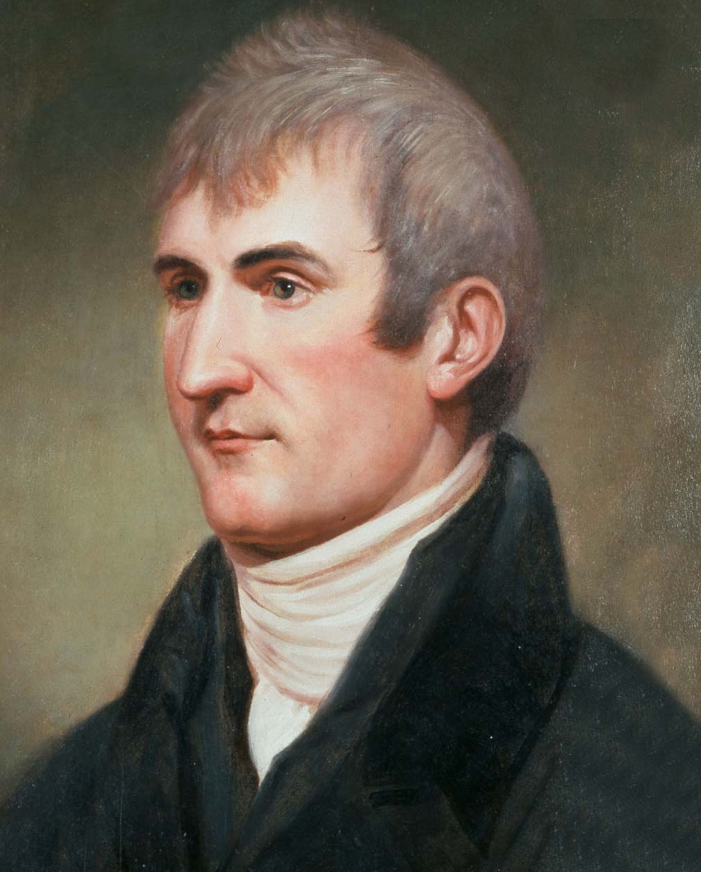
Portrait of Meriwether Lewis
Charles Willson Peale · c. 1807
 Painting
Primary source
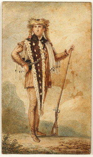
Meriwether Lewis in Frontiersman's Regalia
Charles-Balthazar-Julien Fevret de Saint-Mémin · 1806-1807
Ready when you are
Start chatting with Meriwether Lewis now.
20 messages free · No credit card · Available in 50+ languages.