


Primary sourceDocument1779
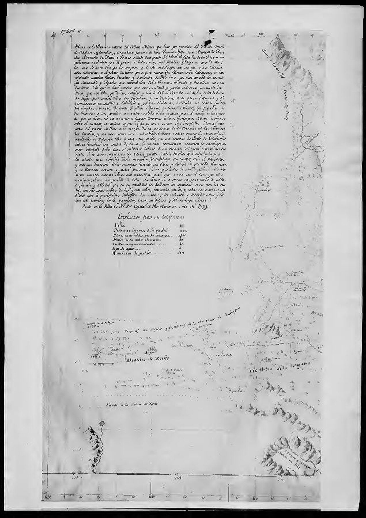
Map of New Mexico by Bernardo de Miera y Pacheco
Bernardo de Miera y Pacheco · 1779
A 1779 hand-drawn map of New Mexico made by the cartographer who served under Anza, showing the frontier territory he governed.
The map depicts the province Anza governed, made by a cartographer who served under him.
About this source
What it is
This manuscript map of New Mexico was drawn in 1779 by Bernardo de Miera y Pacheco, a prolific cartographer of New Spain. Copies are held in the Archivo General de la Nación and the Library of Congress. It shows mountains, rivers, Spanish villages, Indigenous pueblos, and trails across the region.
Why it matters
The map was made during the period when Juan Bautista de Anza governed New Mexico, and it depicts the land and settlements he administered and traveled through. It also records conflict, marking villages destroyed in ongoing warfare between Spanish colonists and Indigenous peoples, giving a picture of the frontier's tensions.
Look closer
- What does the map choose to highlight, and what does it leave vague or blank?
- Why might a governor need a detailed map like this?
- What does the marking of destroyed villages tell you about life on this frontier?
This document is part of the curated material that grounds the AI version of Juan Bautista de Anza on Humy.ai — when students ask about related events, the AI can quote it and cite it.
More Juan Bautista de Anza sources
Meet the AI Juan Bautista de Anza →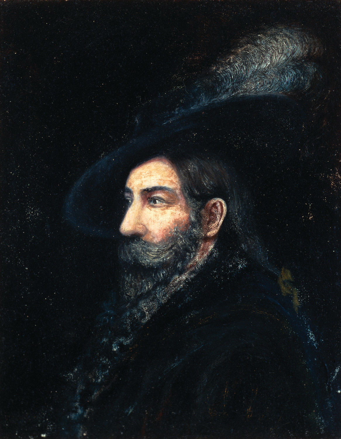 Painting
Primary source
Portrait of Juan Bautista de Anza
Fray Orci · 1774
 Diary entry
Primary source
Anza's Diary of the Second California Expedition
Juan Bautista de Anza · 1775–1776
 Artifact
Secondary source
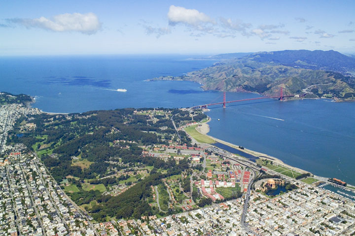
Presidio of San Francisco
1776
 Artifact
Secondary source
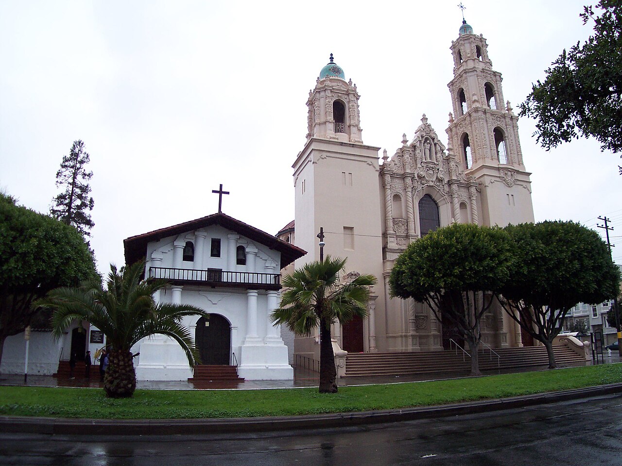
Mission San Francisco de Asís
1776
 Document
Primary source
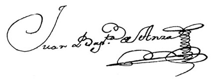
Signature of Juan Bautista de Anza
Juan Bautista de Anza
Ready when you are
Start chatting with Juan Bautista de Anza now.
20 messages free · No credit card · Available in 50+ languages.