


Secondary sourceDocument2008
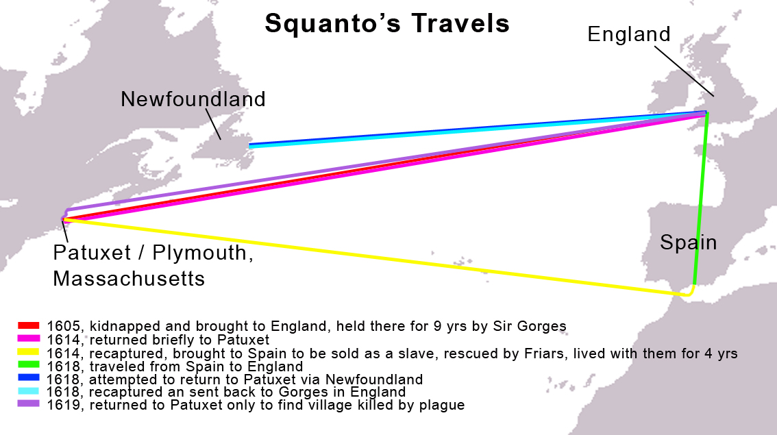
Map of Squanto's Travels
Enonken (derivative work) · 2008
A modern map tracing the voyages of Squanto between New England, Newfoundland, England, and Spain.
This modern map traces Squanto's voyages across the Atlantic before his role with the Plymouth colonists.
About this source
What it is
This is a modern map created in 2008, showing the travels of Tisquantum, known as Squanto, the Native American who later assisted English settlers in Massachusetts. It uses colored lines on a world map to trace his journeys between Patuxet (near Plymouth), Newfoundland, England, and Spain, with a legend explaining each trip.
Why it matters
This map helps show that Squanto's life involved extensive and often forced travel across the Atlantic before he ever met the Pilgrims. Understanding these journeys helps explain how he came to speak English and know European customs, which shaped his later role as an interpreter and go-between for the Plymouth colonists.
Look closer
- What do the different routes on the map suggest about how Squanto ended up in England and Spain?
- Why is a map a useful but incomplete way to show someone's life story?
- What questions does this map raise that it cannot answer, like how Squanto felt about these journeys?
This document is part of the curated material that grounds the AI version of Tisquantum (Squanto) on Humy.ai — when students ask about related events, the AI can quote it and cite it.
More Tisquantum (Squanto) sources
Meet the AI Tisquantum (Squanto) →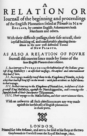 Book
Primary source
Mourt's Relation
Edward Winslow · 1622
Primary source
Good Newes from New England
Edward Winslow · 1624
 Book
Primary source
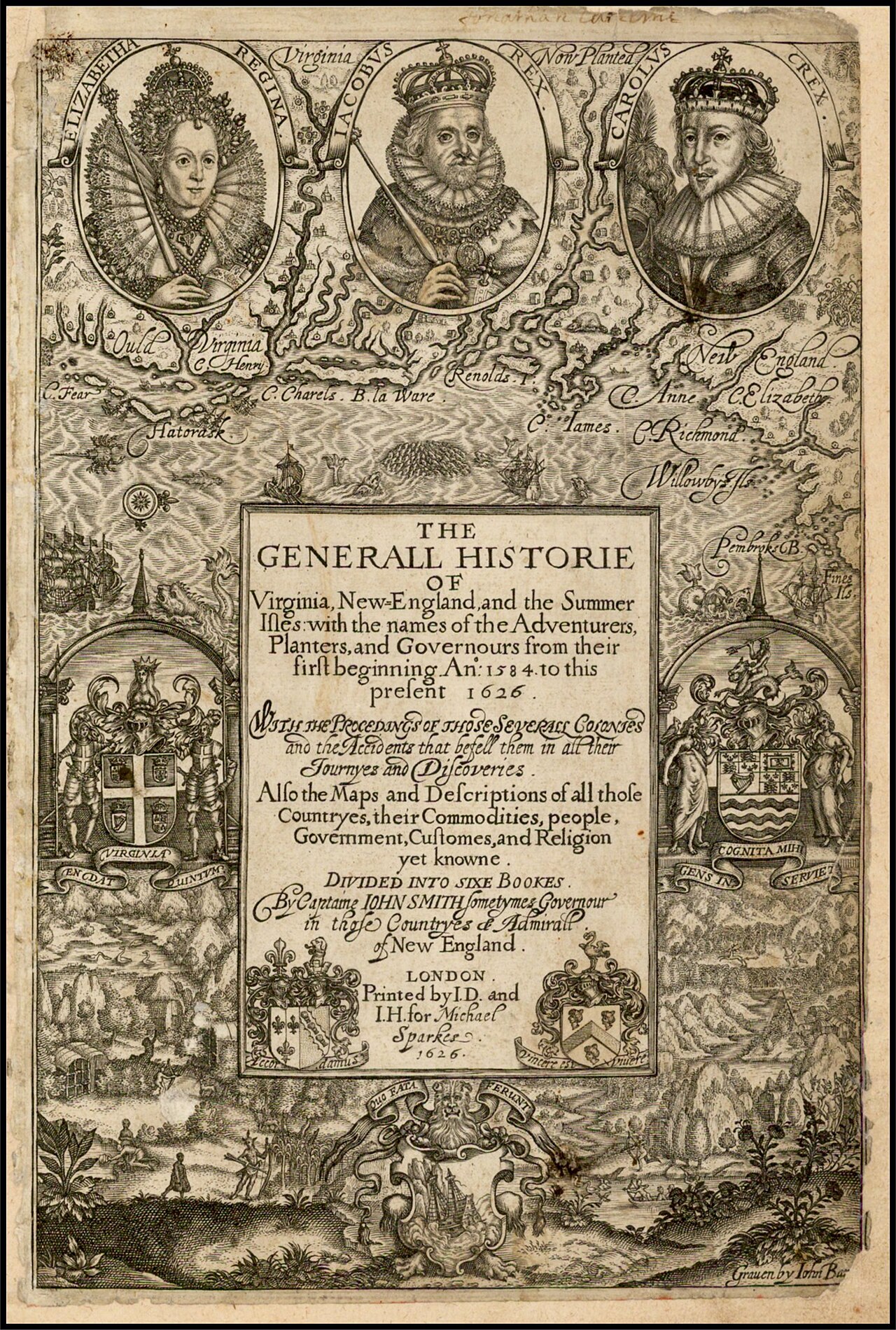
The Generall Historie of Virginia, New-England, and the Summer Isles
John Smith · 1624
 Book
Primary source
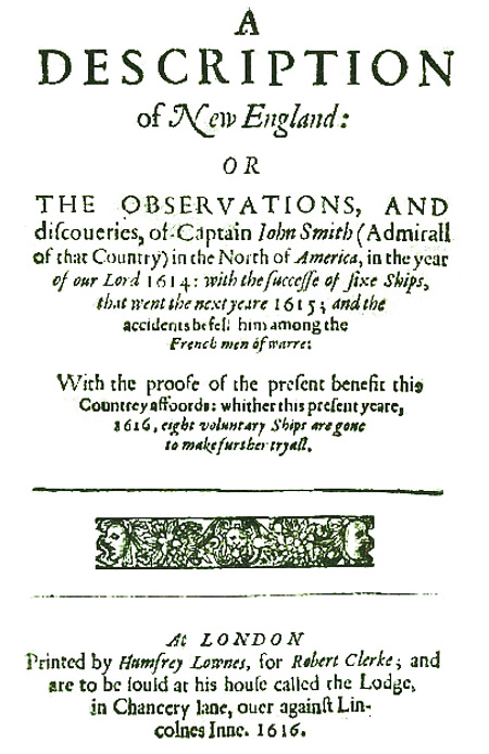
A Description of New England
John Smith · 1616
Primary source
Mayflower Compact
1620
Ready when you are
Start chatting with Tisquantum (Squanto) now.
20 messages free · No credit card · Available in 50+ languages.