


Primary sourceDocument1792
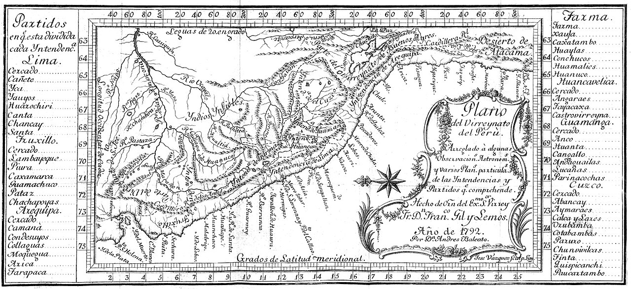
Map of the Viceroyalty of Peru
Andrés Baleato · 1792
An 18th-century engraved map of the Viceroyalty of Peru, the Spanish administrative territory under which Garay once served, made about a decade after his death.
A later map of the Viceroyalty of Peru, the Spanish territory under which Garay once served.
About this source
What it is
This engraved map, titled Plano del Virreynato del Perú, was made by Andrés Baleato in 1792. It shows South American territories with rivers, mountain ranges, and intendancy boundaries, along with a decorative title cartouche and lists of provinces.
Why it matters
Juan de Garay served under Spanish colonial authority linked to the Viceroyalty of Peru during his lifetime. Although this map was made about two centuries after the Spanish conquest began and roughly a decade after Garay's death, it shows how later cartographers depicted the vast territory that Spain had organized, including the division that eventually created the Viceroyalty of Buenos Aires.
Look closer
- What does the map's text tell you about how Spanish administrators divided and redivided their colonial territory over time?
- Why might Spain have found it useful to draw boundaries and make detailed maps of its colonies?
- How does this map compare to a modern political map of South America?
This document is part of the curated material that grounds the AI version of Juan de Garay on Humy.ai — when students ask about related events, the AI can quote it and cite it.
More Juan de Garay sources
Meet the AI Juan de Garay →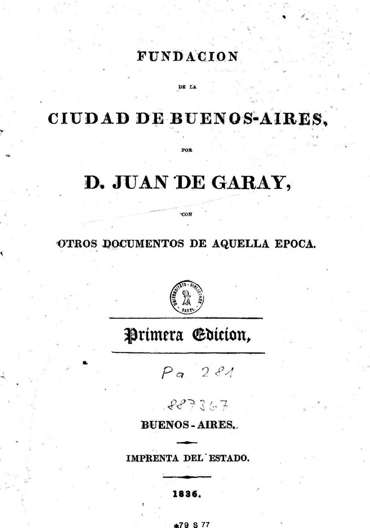 Book
Primary source
Fundación de la ciudad de Buenos-Aires, por D. Juan de Garay, con otros documentos de aquella época
Juan de Garay · 1836
 Book
Primary source
La Argentina, o la conquista del Río de la Plata
Martín del Barco Centenera · 1602
 Painting
Secondary source
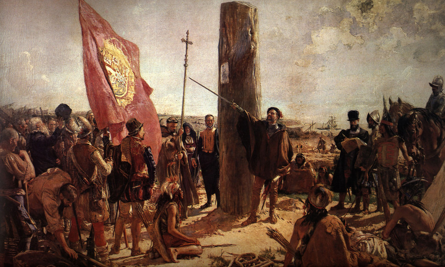
Fundación de Buenos Aires
José Moreno Carbonero · 1923
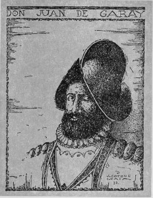 Painting
Secondary source
Retrato de Don Juan de Garay
Unknown
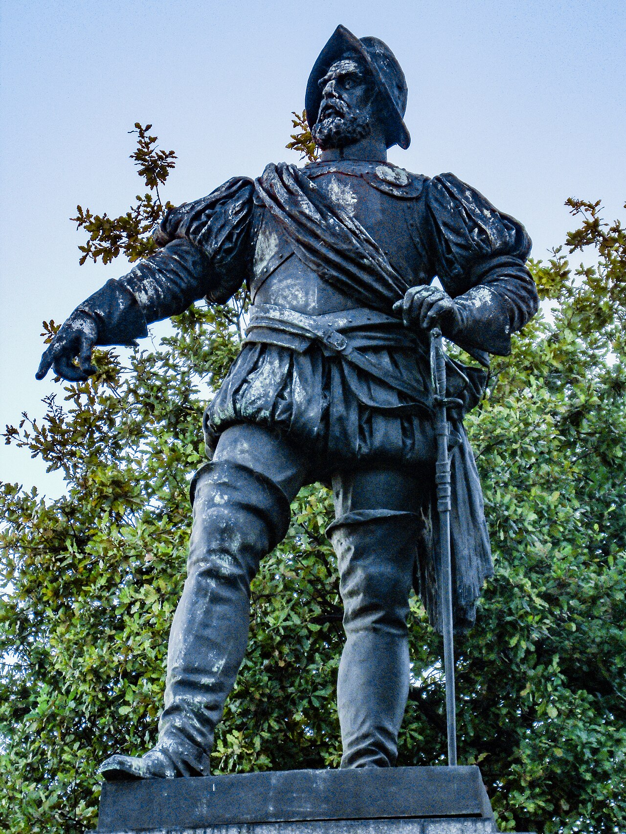 Sculpture
Secondary source
Monument to Juan de Garay
Gustav Eberlein · 1915
Ready when you are
Start chatting with Juan de Garay now.
20 messages free · No credit card · Available in 50+ languages.