


Secondary sourceDocument1755 (based on 1751 surveys)
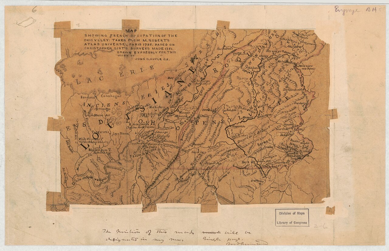
Map Showing French Occupation of the Ohio Valley
John G. Ruple · 1755 (based on 1751 surveys)
A manuscript map based on Christopher Gist's 1751 surveys, showing French claims in the contested Ohio Valley.
This map is based directly on surveys Gist made in 1751, showing his firsthand exploration of the Ohio Valley.
About this source
What it is
This hand-drawn map, made in pen-and-ink and watercolor and mounted on cloth-backed paper, shows parts of Ohio and Pennsylvania near Lake Erie. It is based on surveys made by Christopher Gist in 1751 and was later used in an illustrated county history, held by the Library of Congress.
Why it matters
The map shows how information gathered by explorers like Gist directly shaped how colonists and officials understood and argued over the Ohio Valley, a region both Britain and France claimed before the French and Indian War.
Look closer
- What details on the map suggest it was drawn from someone's direct observation of the land?
- Why might a surveyor's notes become valuable to governments and historians decades later?
- What is missing from a map like this — whose knowledge of the land is left out?
This document is part of the curated material that grounds the AI version of Christopher Gist on Humy.ai — when students ask about related events, the AI can quote it and cite it.
More Christopher Gist sources
Meet the AI Christopher Gist →Primary source
Journal of Captain William Trent from Logstown to Pickawillany, A.D. 1752
William Trent · 1752 (published 1871)
 Document
Primary source
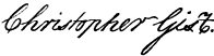
Signature of Christopher Gist
Christopher Gist
 Document
Primary source
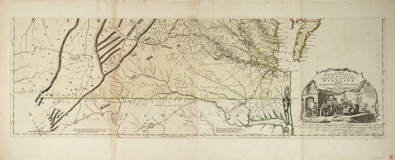
Fry-Jefferson Map of Virginia
Joshua Fry and Peter Jefferson · 1751 (revised 1755)
 Book
Secondary source
A Topographical Description of Such Parts of North America
Thomas Pownall · 1776
 Document
Primary source
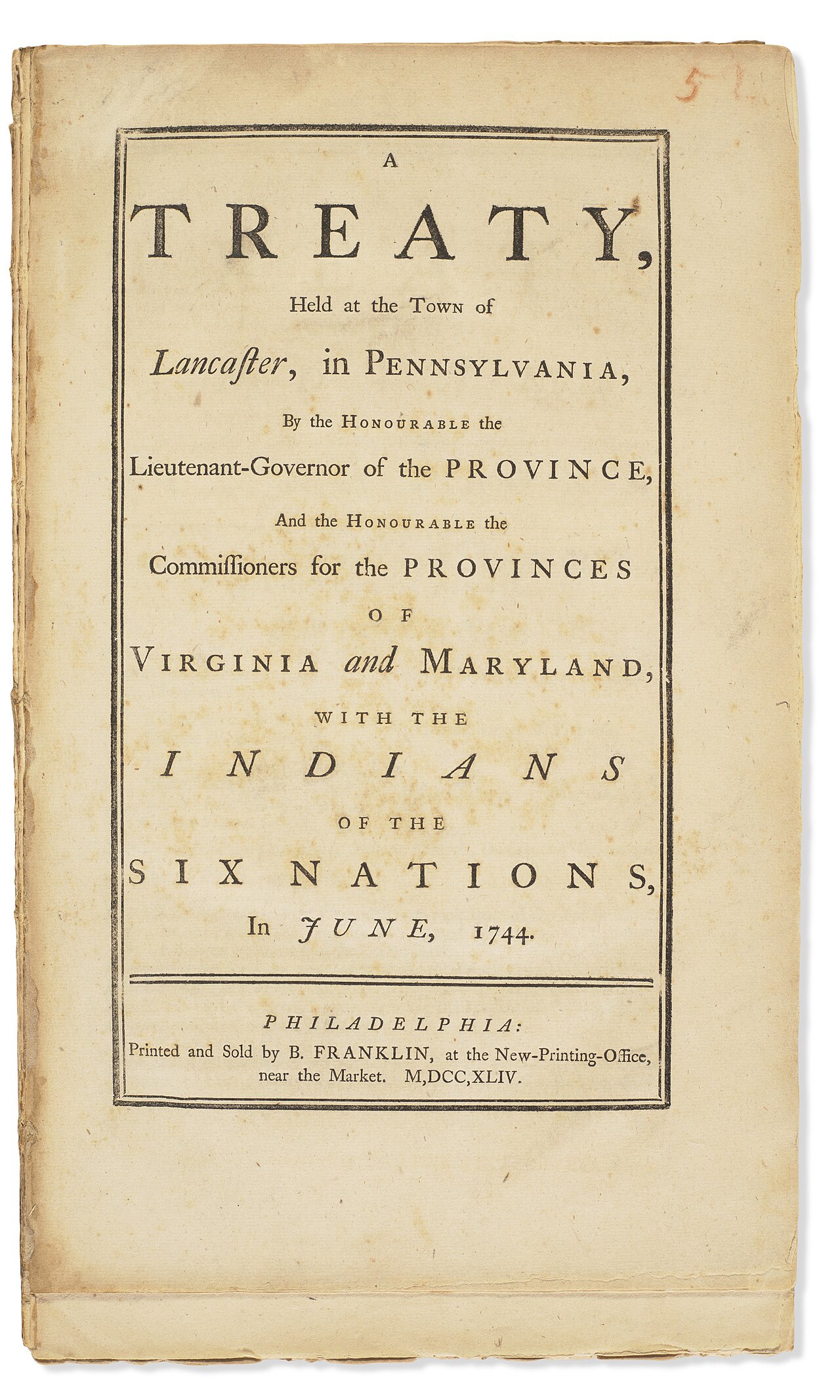
Treaty of Lancaster 1744, Printed by Benjamin Franklin
Benjamin Franklin · 1744
Ready when you are
Start chatting with Christopher Gist now.
20 messages free · No credit card · Available in 50+ languages.