


Primary sourceDocument1865
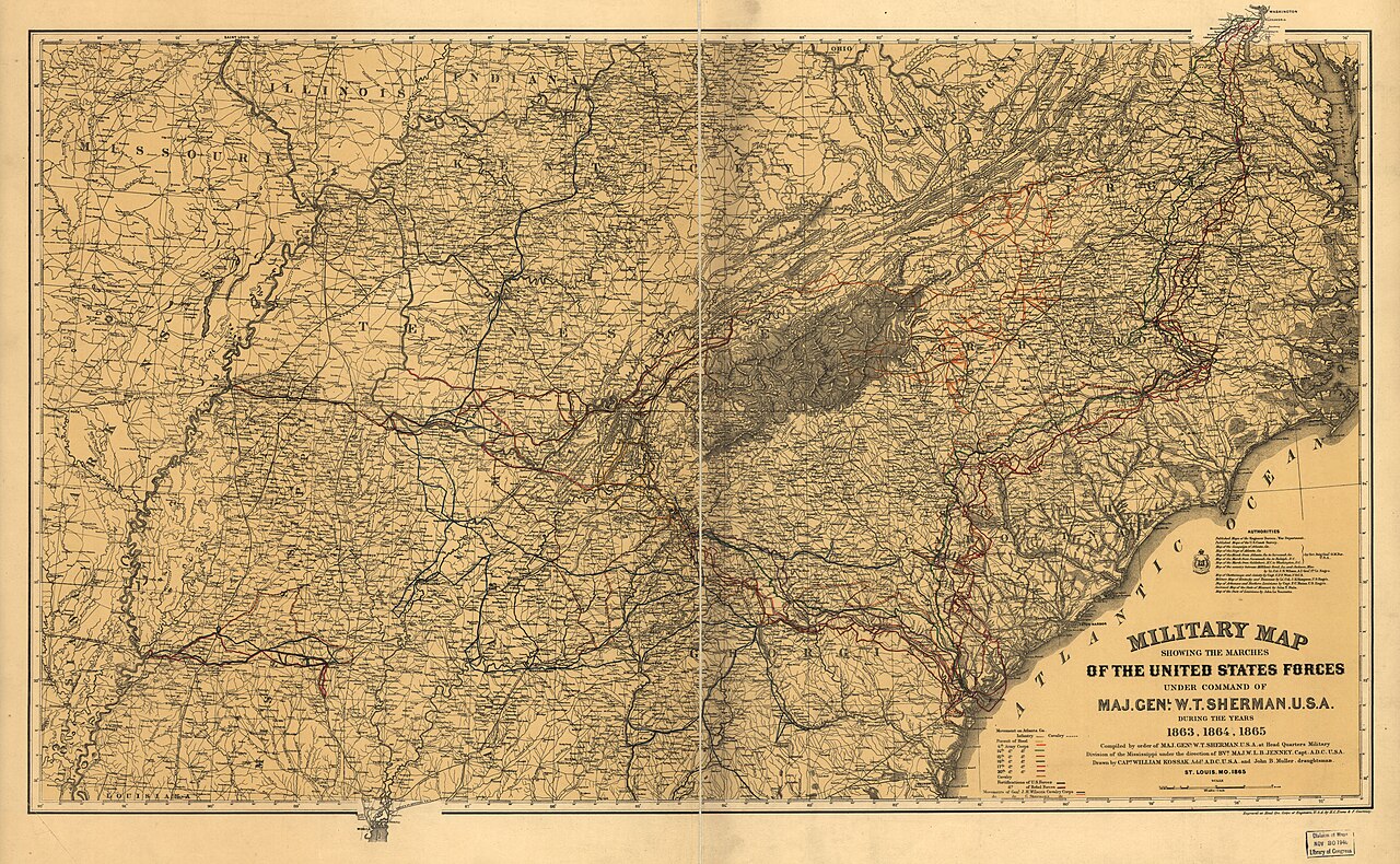
Military Map Showing the Marches of the United States Forces under Command of Maj. Genl. W.T. Sherman
Orlando M. Poe, U.S. Army Corps of Engineers · 1865
An 1865 U.S. Army Corps of Engineers map tracing Sherman's campaign routes through the South during 1863–1865.
The map documents the full route of Sherman's military campaigns through Georgia and the Carolinas.
Free Humy account · No credit card · 120,912 sources to read
About this source
What it is
This official map, engraved for the Corps of Engineers under Orlando M. Poe, shows the marching routes of Union forces commanded by Major General William T. Sherman between 1863 and 1865. It covers the southeastern United States, marking army corps movements, cavalry campaigns, fortifications, railroads, and towns. It is held by the Library of Congress.
Why it matters
Maps like this were made by military engineers to record and study campaigns after the fact. It traces the route of Sherman's forces from Chattanooga through Georgia and the Carolinas, including the pursuit of Confederate General Hood and the movements of cavalry corps, helping historians and the Army itself understand how the war's final campaigns unfolded across vast distances.
Look closer
- What kinds of details does the mapmaker choose to include—and what is left out, such as the human cost of the marches?
- Why would the Army want a detailed record of these routes after the war?
- How might this map have been used differently by soldiers at the time versus historians today?
This document is part of the curated material that grounds the AI version of William Tecumseh Sherman on Humy.ai — when students ask about related events, the AI can quote it and cite it.
More William Tecumseh Sherman sources
Browse all 98 →Primary source
Special Field Orders No. 15
William Tecumseh Sherman · 16 January 1865
Primary source
Letter to James M. Calhoun, Mayor of Atlanta
William Tecumseh Sherman · 12 September 1864
 Book
Primary source
Memoirs of General W.T. Sherman
William Tecumseh Sherman · 1875
 Document
Primary source
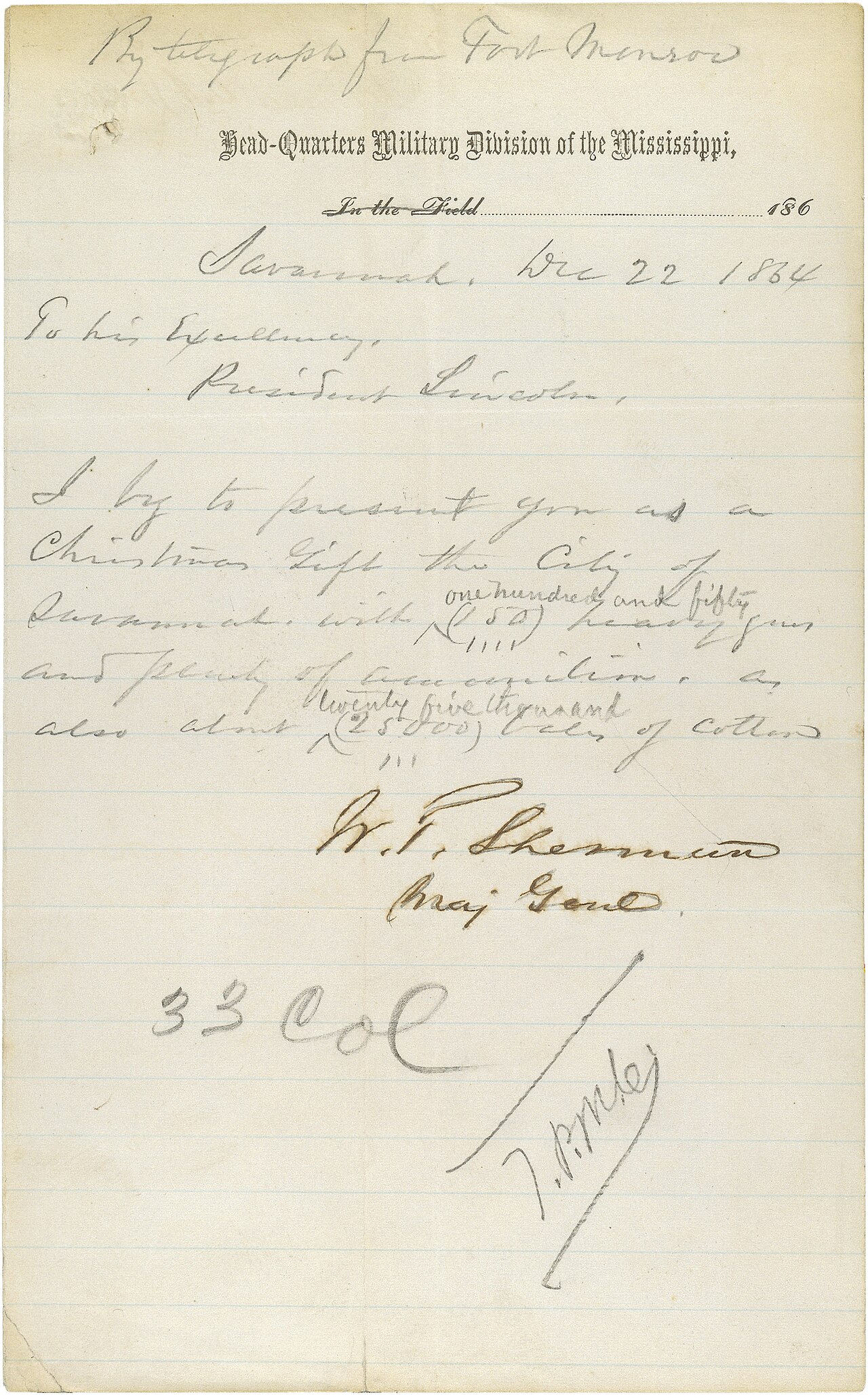
Sherman's Telegram Announcing the Capture of Savannah
William Tecumseh Sherman · 22 December 1864
Free account
Read every William Tecumseh Sherman source
Sign up free →
Ready when you are
Start chatting with William Tecumseh Sherman now.
20 messages free · No credit card · Available in 50+ languages.