


Primary sourceArtifact1805
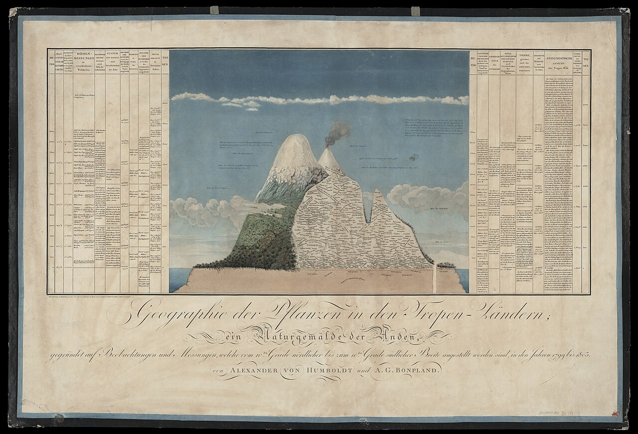
Naturgemälde der Anden
Alexander von Humboldt · 1805
Humboldt's cross-section diagram of Chimborazo mapping plant zones against altitude and climate, drawn after his Andes expedition.
This diagram, drawn by Humboldt himself, represents his central scientific achievement from the Andes expedition.
About this source
What it is
This is a large engraved chart titled Geographie der Pflanzen in den Tropen-Ländern, ein Naturgemälde der Anden, made in 1805 by Alexander von Humboldt together with Aimé Bonpland. The central image shows a mountain landscape with snowcapped peaks and a smoking volcano, surrounded by dense tables of scientific data.
Why it matters
The diagram shows Humboldt's idea that nature works as one interconnected system, rather than a collection of separate facts. By plotting plants against altitude and temperature, he helped found the science of plant geography, and the chart became a model for how scientists could combine art and data to explain the natural world.
Look closer
- What different kinds of information are combined in this single image?
- Why might Humboldt have chosen a mountain as the subject to show how nature is connected?
- What does the chart leave out that a modern map or graph might include?
This artifact is part of the curated material that grounds the AI version of Alexander von Humboldt on Humy.ai — when students ask about related events, the AI can quote it and cite it.
More Alexander von Humboldt sources
Browse all 93 →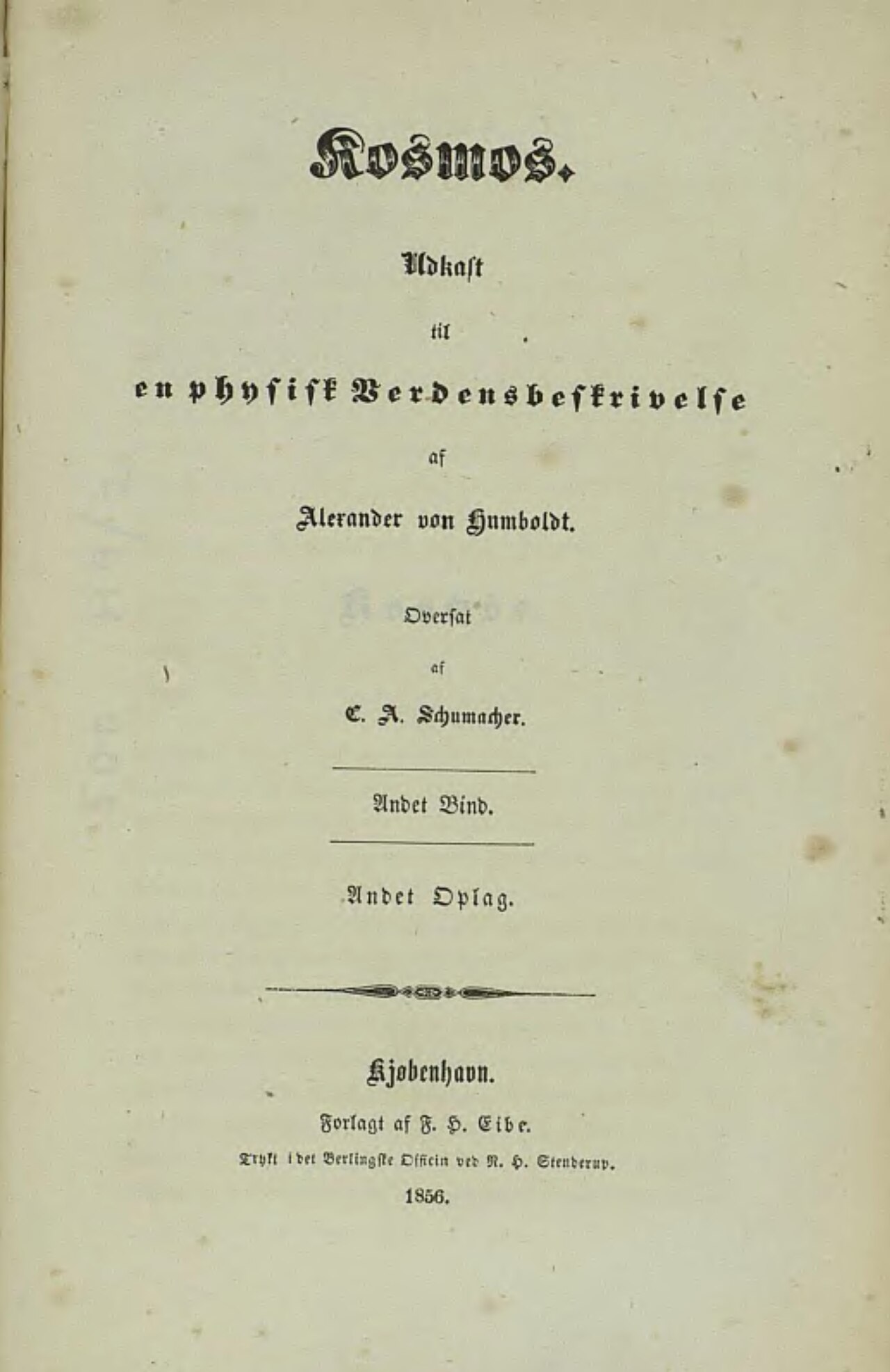 Book
Primary source
Cosmos
Alexander von Humboldt · 1845
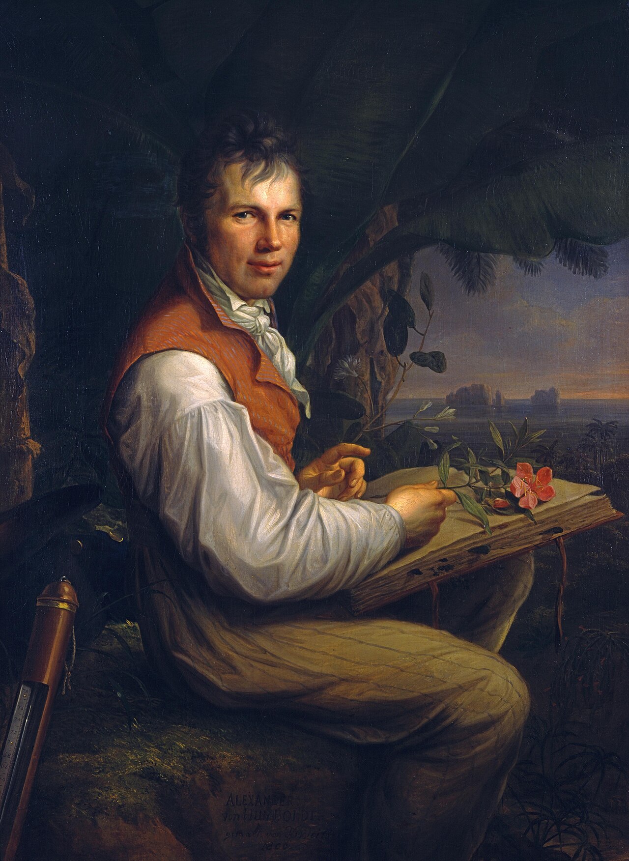 Painting
Primary source
Portrait of Alexander von Humboldt
Friedrich Georg Weitsch · 1806
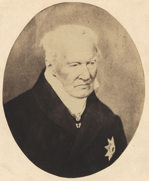 Photograph
Primary source
Alexander von Humboldt photo 1857
Verlag von L. Haase & Co. · 1857
 Photograph
Primary source
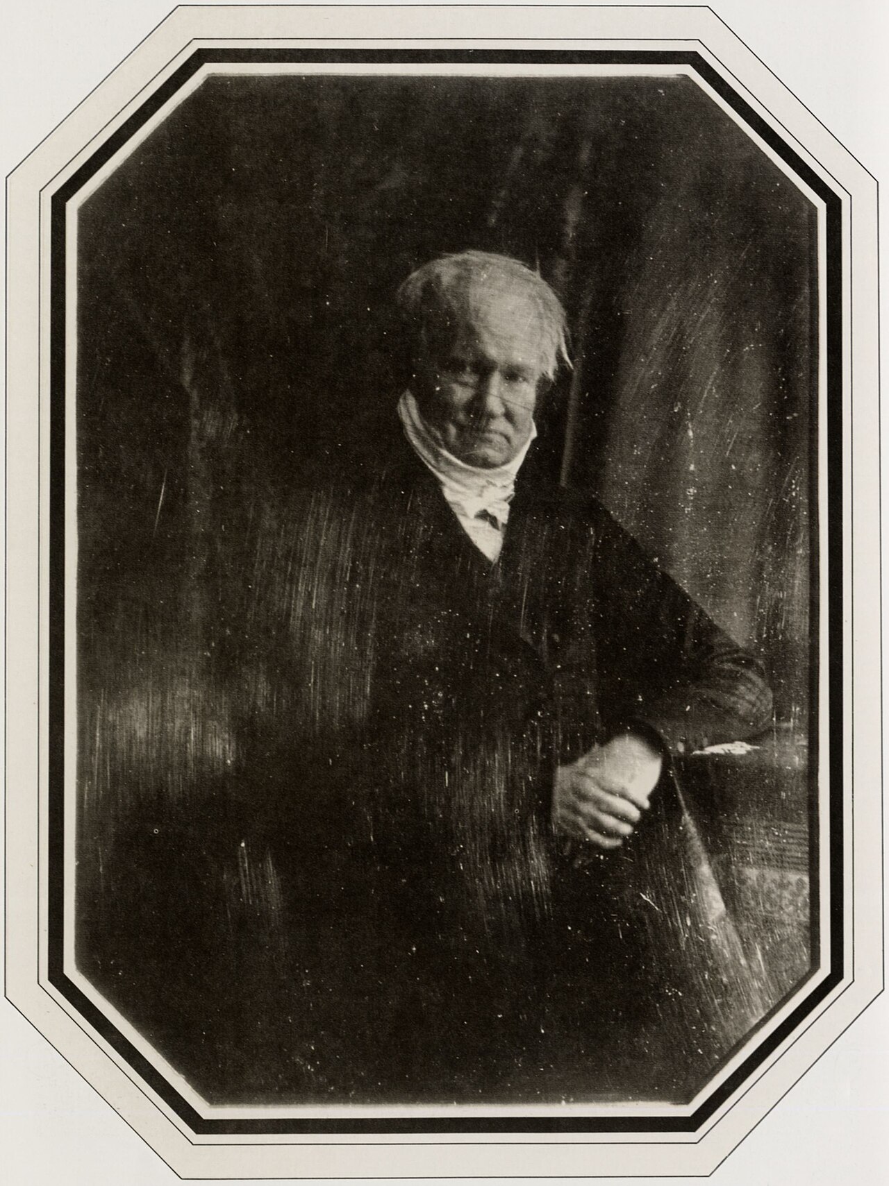
Daguerreotype of Alexander von Humboldt
Hermann Biow · 1847
Free account
Read every Alexander von Humboldt source
Sign up free →
Ready when you are
Start chatting with Alexander von Humboldt now.
20 messages free · No credit card · Available in 50+ languages.