


Tertiary sourceDocument21 February 2003
Old Government Cottages Group, Bathurst, Heritage Plan
Heritage Division · 21 February 2003
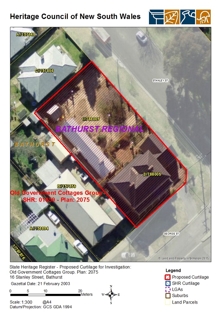
A heritage council plan mapping the old government cottages at Bathurst, part of the colonial-era landscape associated with Macquarie's administration.
This modern plan maps a government cottages group in Bathurst, a town associated with Macquarie's settlement expansion.
About this source
What it is
This is a heritage listing plan produced by the Heritage Division of New South Wales, showing an aerial map with a proposed boundary around a group of old government cottages in Bathurst. It includes labelled land parcels, street names, a scale bar and a gazettal date.
Why it matters
Bathurst was one of the inland settlements established during the colonial period associated with Governor Lachlan Macquarie. This modern heritage plan helps historians and planners understand how the old government buildings relate to today's streets and properties, preserving physical evidence of the early colony.
Look closer
- Why might a government body create a detailed map like this today?
- What does the plan NOT tell you about the history of the buildings?
- How does mapping help protect historical sites?
This document is part of the curated material that grounds the AI version of Lachlan Macquarie on Humy.ai — when students ask about related events, the AI can quote it and cite it.
More Lachlan Macquarie sources
Browse all 64 →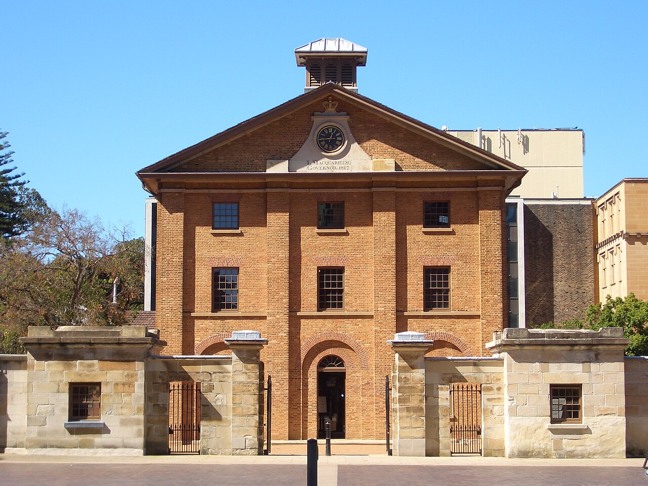 Artifact
Primary source
Hyde Park Barracks
Francis Greenway · 1817-1819
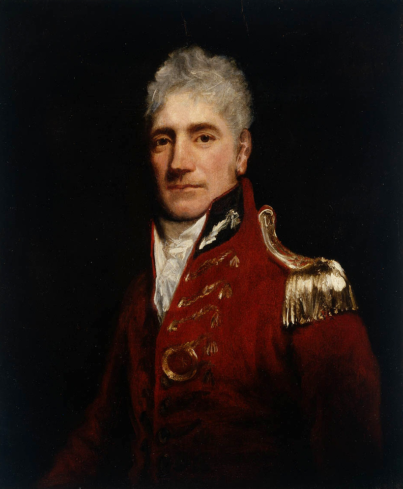 Painting
Primary source
Portrait of Lachlan Macquarie
John Opie · c. 1805
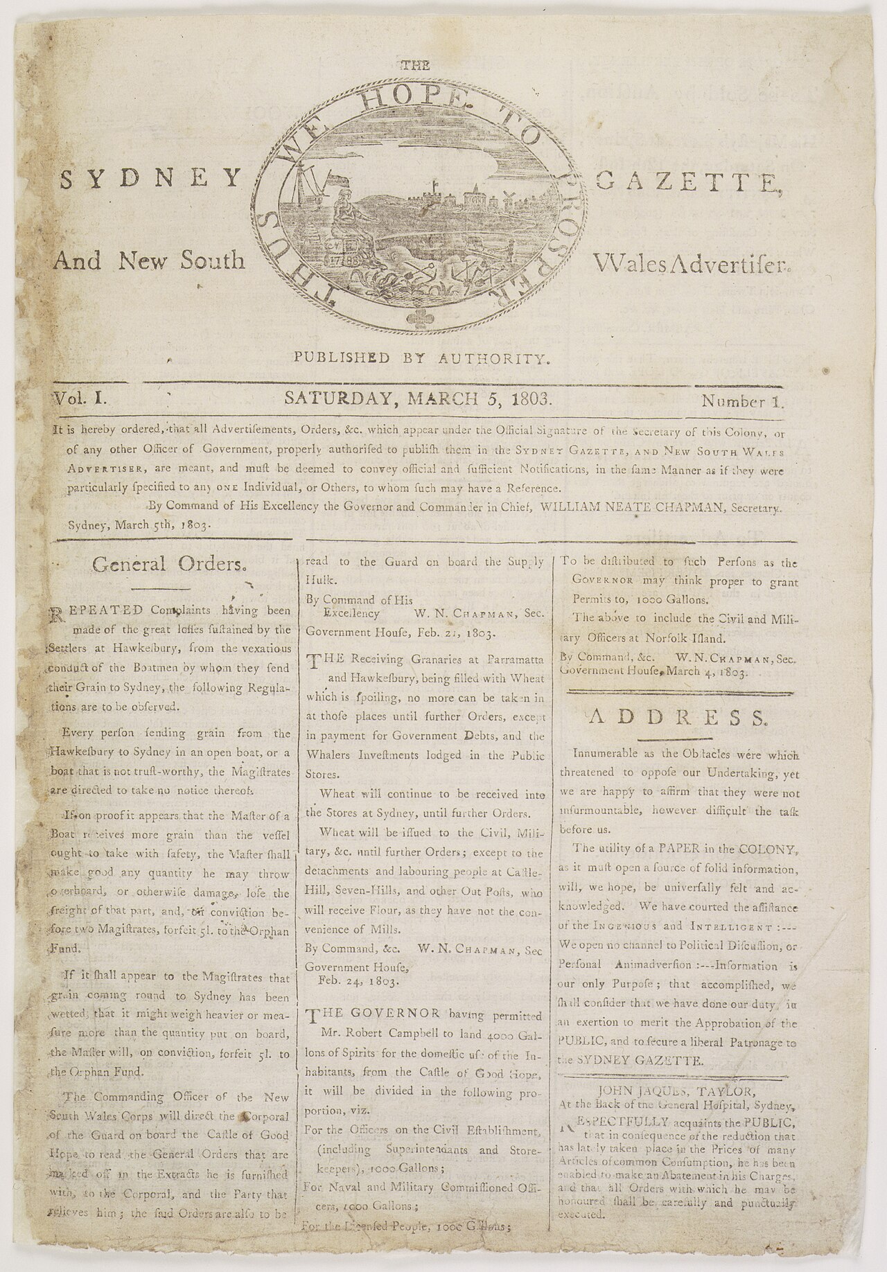 Newspaper article
Primary source
Sydney Gazette, first issue
George Howe · 5 March 1803
 Artifact
Primary source
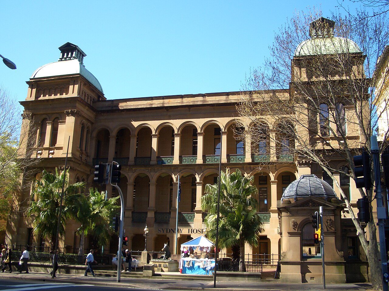
Sydney Hospital
built from 1811, opened 1816
Free account
Read every Lachlan Macquarie source
Sign up free →
Ready when you are
Start chatting with Lachlan Macquarie now.
20 messages free · No credit card · Available in 50+ languages.