


Secondary sourceDocument1862
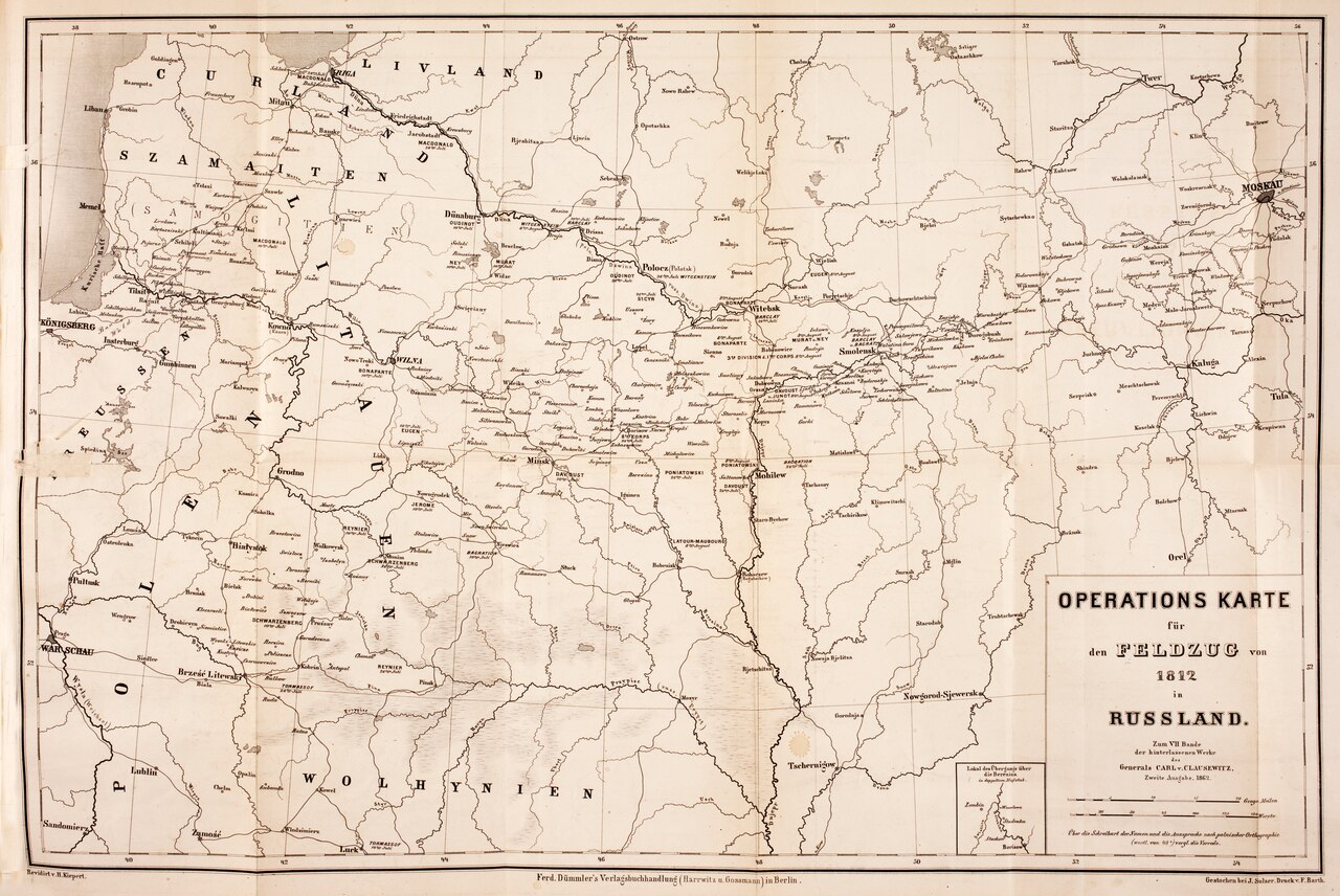
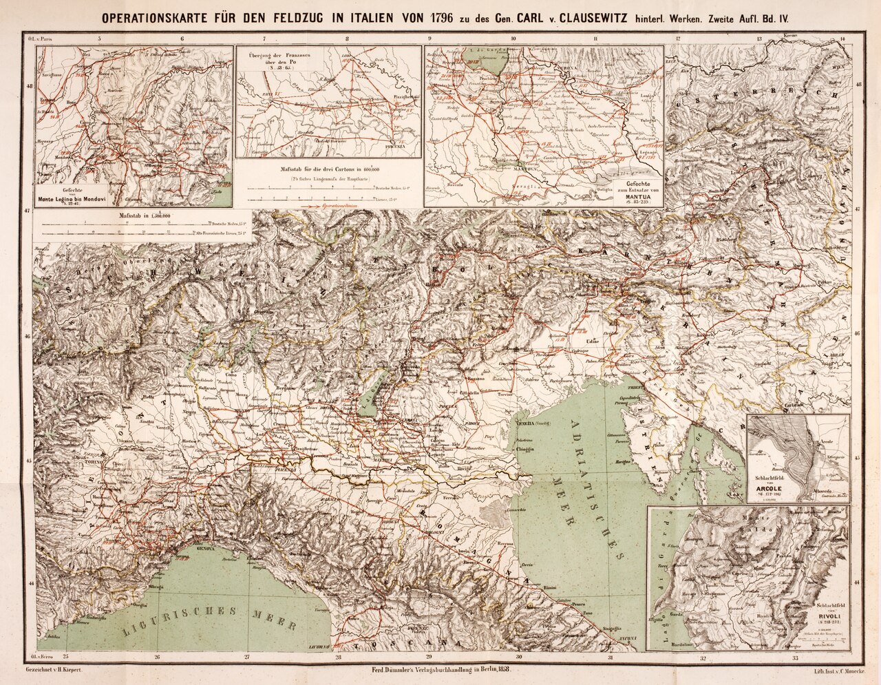
Operational Map for the 1812 Campaign in Russia
Carl von Clausewitz · 1862
A later printed edition of a map tracing the 1812 Russian campaign that Clausewitz took part in and later wrote about.
A map credited to Clausewitz tracing the 1812 Russian campaign he served in and later analyzed in his writings.
About this source
What it is
This is an operational map titled 'Operations Karte für den Feldzug von 1812 in Russland', showing the regions, rivers and towns of the 1812 campaign in Russia. It is credited to Clausewitz, but this surviving copy is a printing from 1862, long after the campaign itself.
Why it matters
Clausewitz served during the 1812 Russian campaign, one of the turning points of the Napoleonic Wars, and he later wrote extensively about it. A map like this helps show how military thinkers tracked movements of armies across vast territory, information Clausewitz used in shaping his ideas about war.
Look closer
- What details does the map include, and what might it leave out about the human cost of the campaign?
- Why would a map made decades after the events still be useful for studying them?
- How might a mapmaker's choices about labels and borders reflect the politics of the time?
This document is part of the curated material that grounds the AI version of Carl von Clausewitz on Humy.ai — when students ask about related events, the AI can quote it and cite it.
More Carl von Clausewitz sources
Browse all 38 →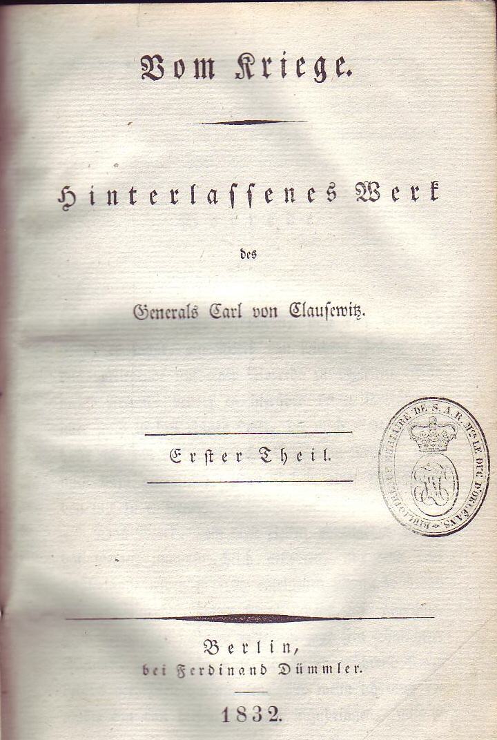 Book
Primary source
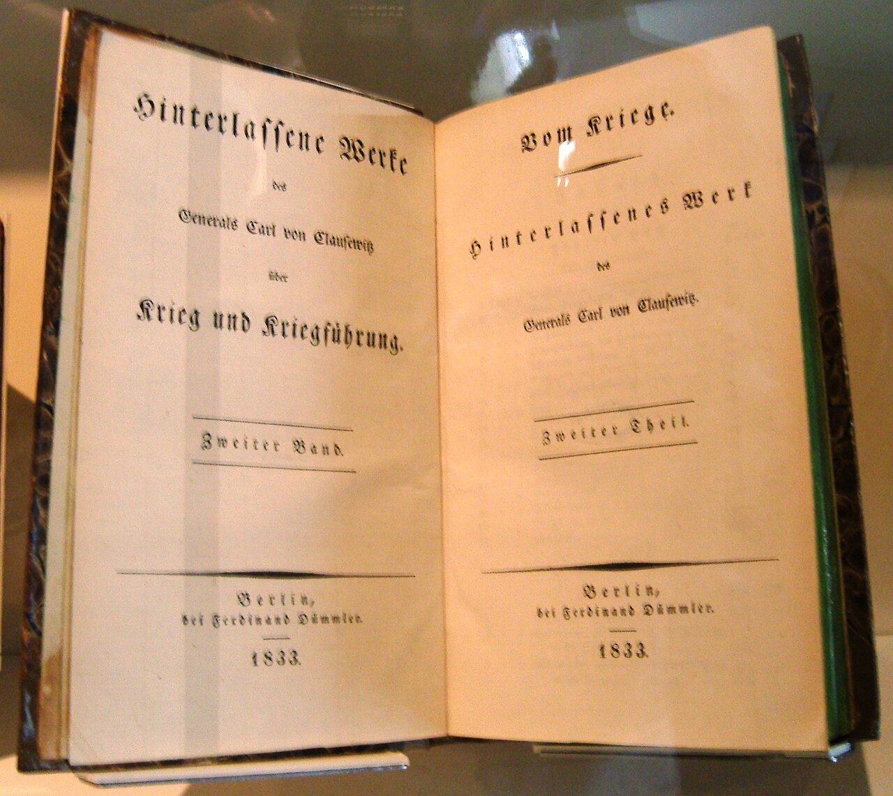
On War
Carl von Clausewitz · 1832
 Painting
Primary source
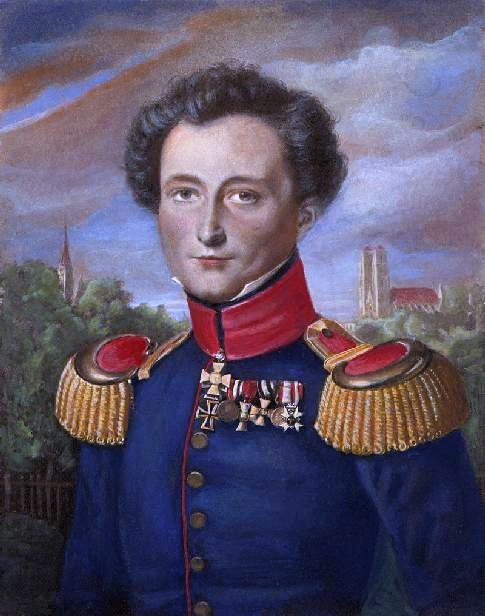
Carl von Clausewitz
Wilhelm Wach
 Painting
Primary source
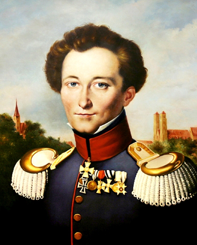
Portrait of Carl von Clausewitz
Wilhelm Wach · c. 1830
 Document
Primary source
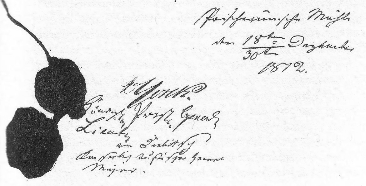
Convention of Tauroggen
30 December 1812
Free account
Read every Carl von Clausewitz source
Sign up free →
Ready when you are
Start chatting with Carl von Clausewitz now.
20 messages free · No credit card · Available in 50+ languages.