


Secondary sourceDocument1838
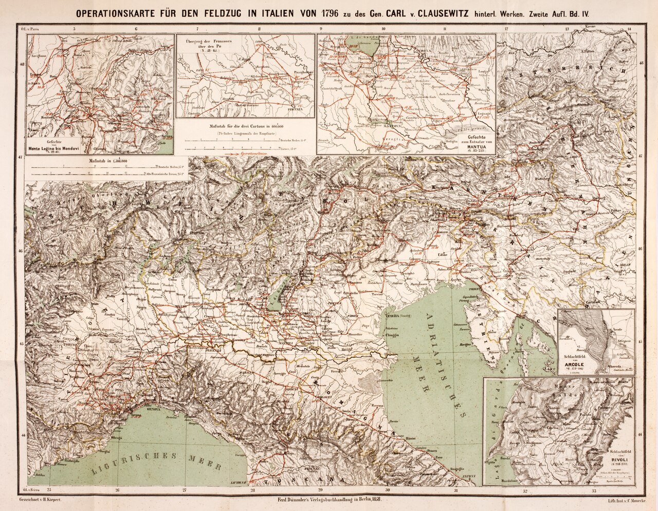
Operationskarte für den Feldzug in Italien von 1796
H. Kiepert · 1838
A map of Napoleon's 1796 Italian campaign drawn for the edition of Clausewitz's works, illustrating his historical case studies of Napoleon.
A map made to illustrate Clausewitz's historical analysis of Napoleon's campaigns in his published works.
About this source
What it is
This is a hand-colored lithographic map titled 'Operationskarte für den Feldzug in Italien von 1796', showing northern Italy, the Alps and the surrounding seas, with inset maps of battle sites including Arcole and Rivoli. It was drawn by H. Kiepert and printed in Berlin in 1838 to accompany the published edition of Clausewitz's works.
Why it matters
Clausewitz used detailed historical campaigns, including Napoleon's in Italy, as case studies to support his theories of war. This map was made to help readers of his works follow those campaigns visually, linking his writing to the real geography and battles he analyzed.
Look closer
- Why would a map like this be included with a work of military theory rather than a straightforward history?
- What can a map show about a military campaign that written description alone cannot?
- What is missing from a map like this that a soldier on the ground might have experienced?
This document is part of the curated material that grounds the AI version of Carl von Clausewitz on Humy.ai — when students ask about related events, the AI can quote it and cite it.
More Carl von Clausewitz sources
Browse all 38 →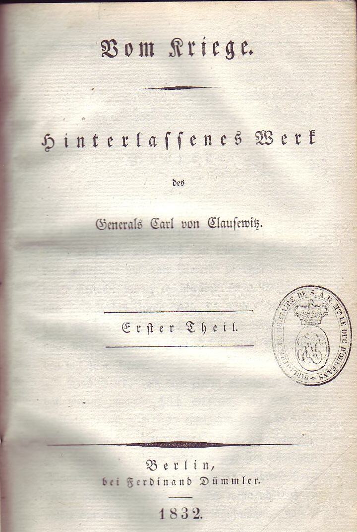 Book
Primary source
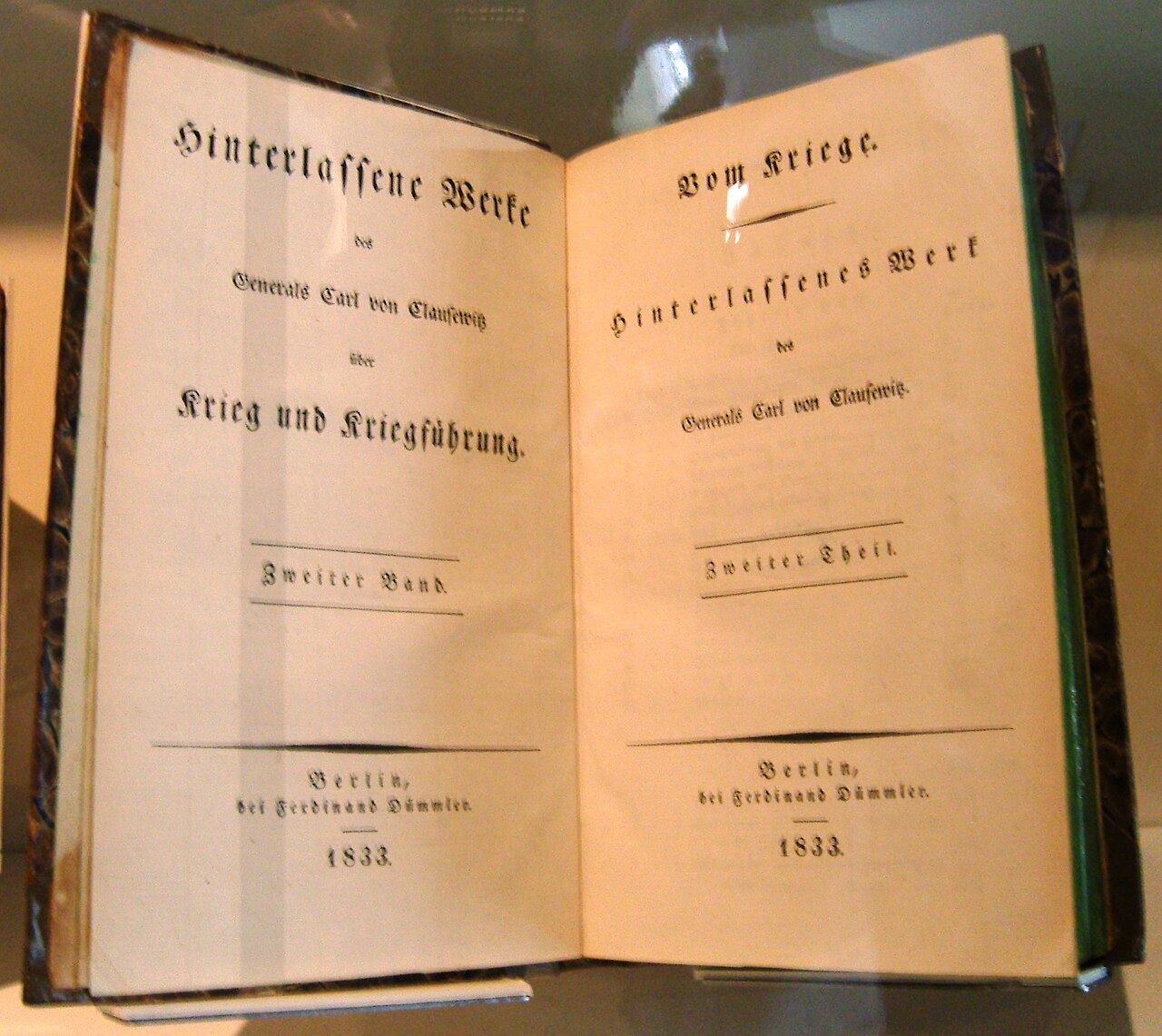
On War
Carl von Clausewitz · 1832
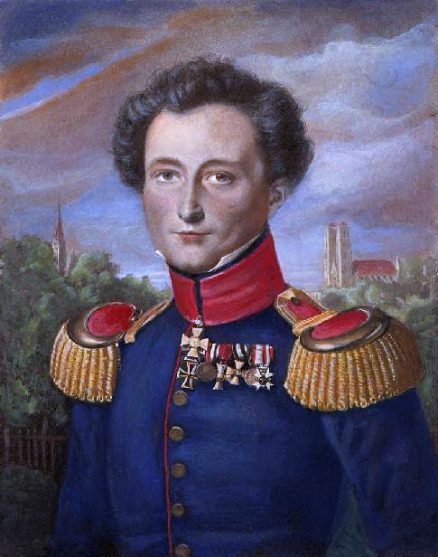 Painting
Primary source
Carl von Clausewitz
Wilhelm Wach
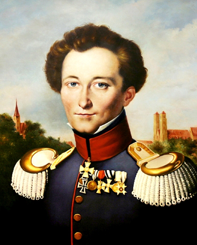 Painting
Primary source
Portrait of Carl von Clausewitz
Wilhelm Wach · c. 1830
 Document
Primary source
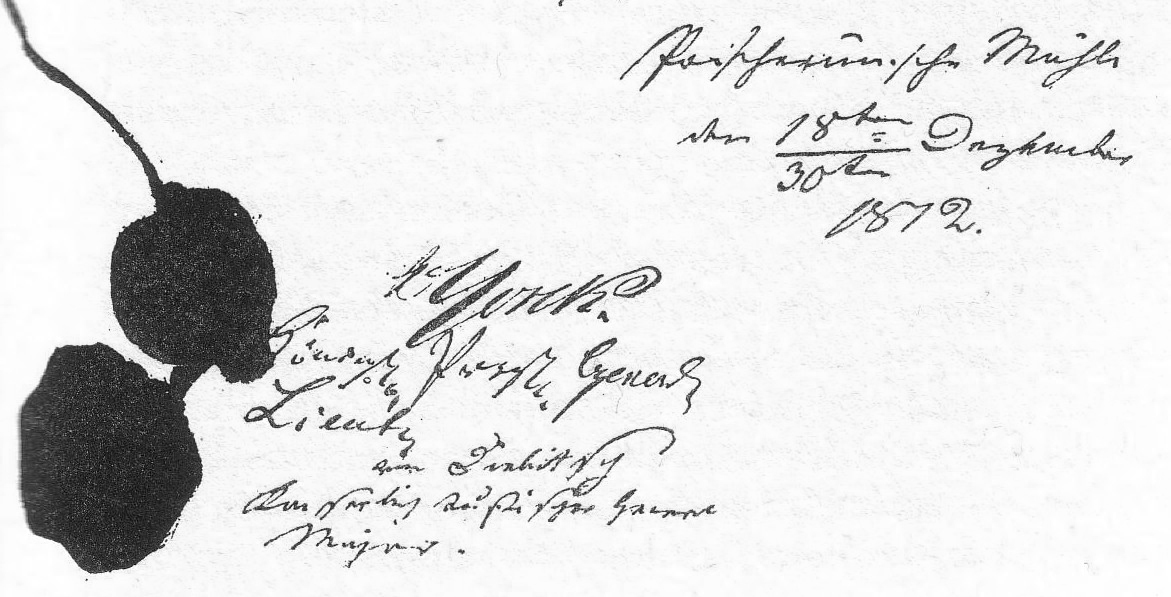
Convention of Tauroggen
30 December 1812
Free account
Read every Carl von Clausewitz source
Sign up free →
Ready when you are
Start chatting with Carl von Clausewitz now.
20 messages free · No credit card · Available in 50+ languages.