


Secondary sourcePhotograph18 March 2018
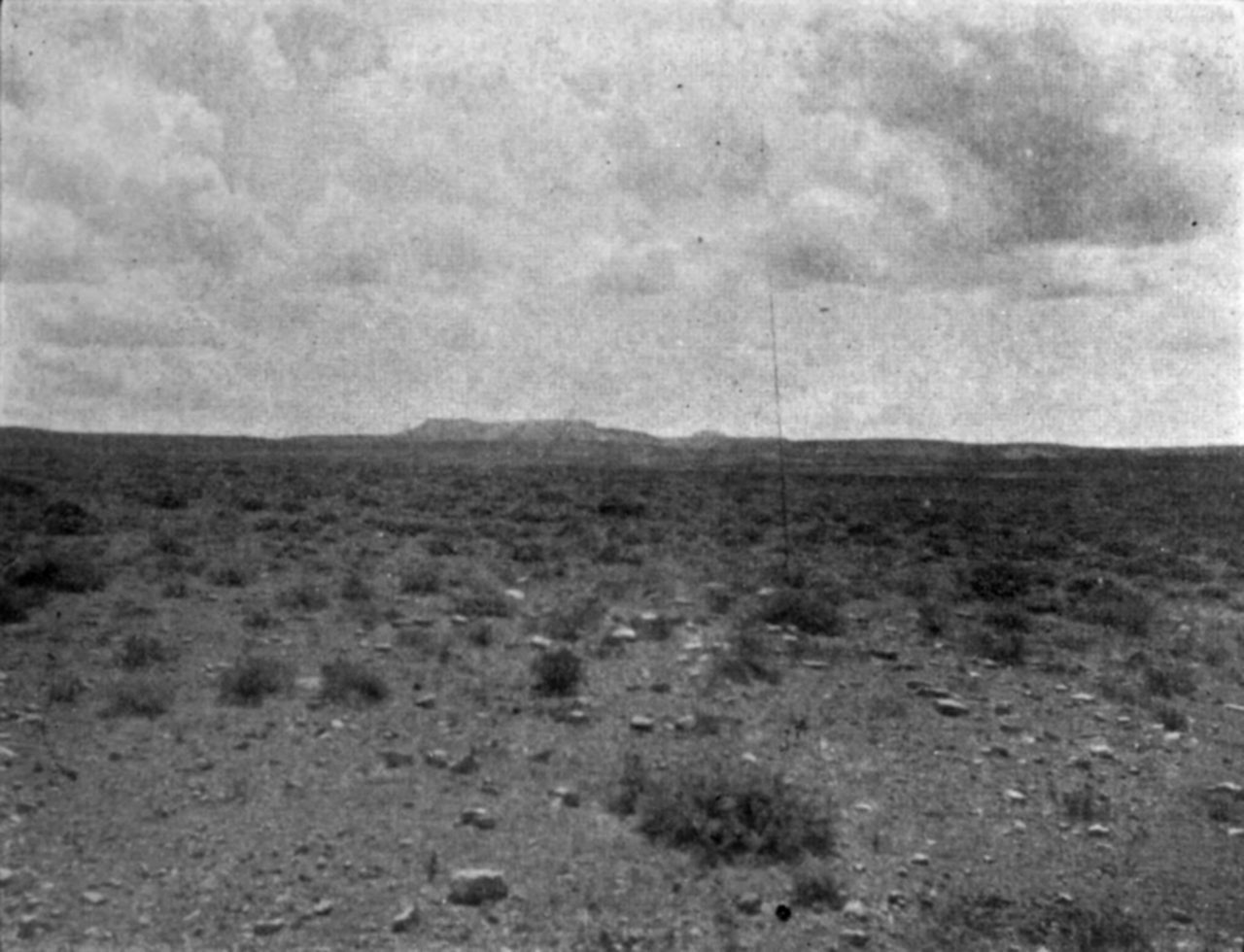
Oregon Buttes seen from South Pass
HesperianBot (Wikisource uploader) · 18 March 2018
A modern photograph of the South Pass landscape in Wyoming, a route through the Rockies that explorers like Jedediah Smith helped open to wider American use.
Shows the South Pass landscape that Smith's explorations helped make known, though the photo is modern.
About this source
What it is
This is a black and white photograph showing the open plain and distant buttes near South Pass, uploaded to Wikisource in 2018. It is a modern image, not one made during Jedediah Smith's lifetime.
Why it matters
South Pass became a key crossing point through the Rocky Mountains for wagon trains and settlers heading west. Smith was among the early American explorers who traveled through this region and helped make its routes known.
Look closer
- Why might a modern photograph be used to illustrate a historical route?
- What does the empty, open landscape tell you about the challenges of travel in this area?
- What is missing from this image that would help you understand its history?
This photograph is part of the curated material that grounds the AI version of Jedediah Smith on Humy.ai — when students ask about related events, the AI can quote it and cite it.
More Jedediah Smith sources
Browse all 49 →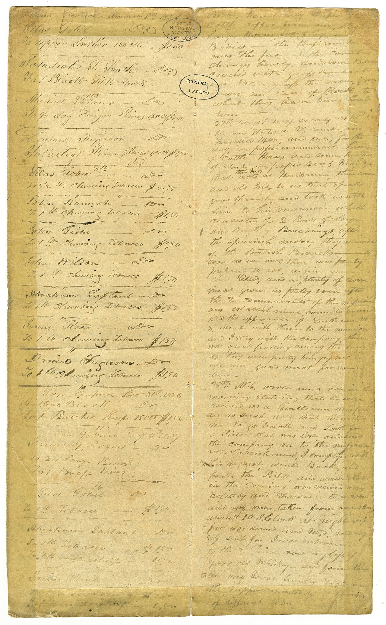 Diary entry
Primary source
Journals of Harrison G. Rogers
Harrison G. Rogers · 1826–1828
 Book
Secondary source
History of the Expedition under the Command of Captains Lewis and Clark
Nicholas Biddle and Paul Allen (eds.) · 1814
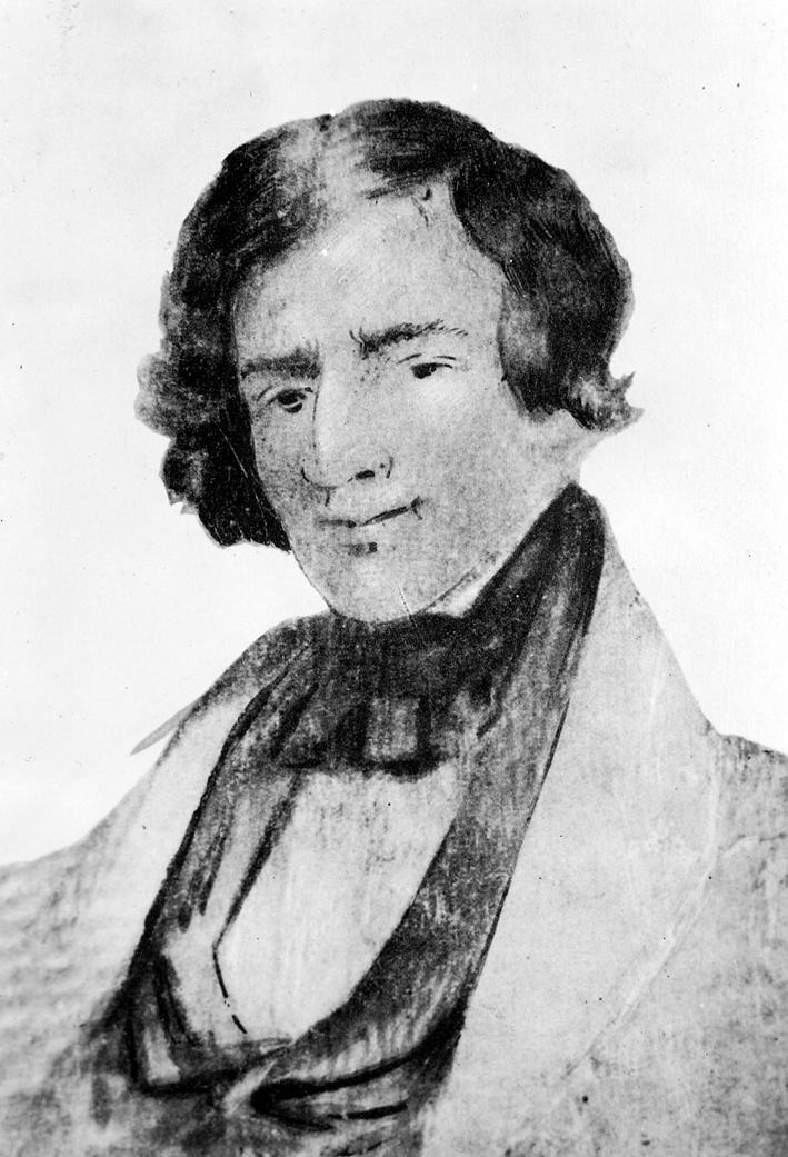 Painting
Secondary source
Portrait of Jedediah Smith
Unknown friend of Jedediah Smith · c. 1835
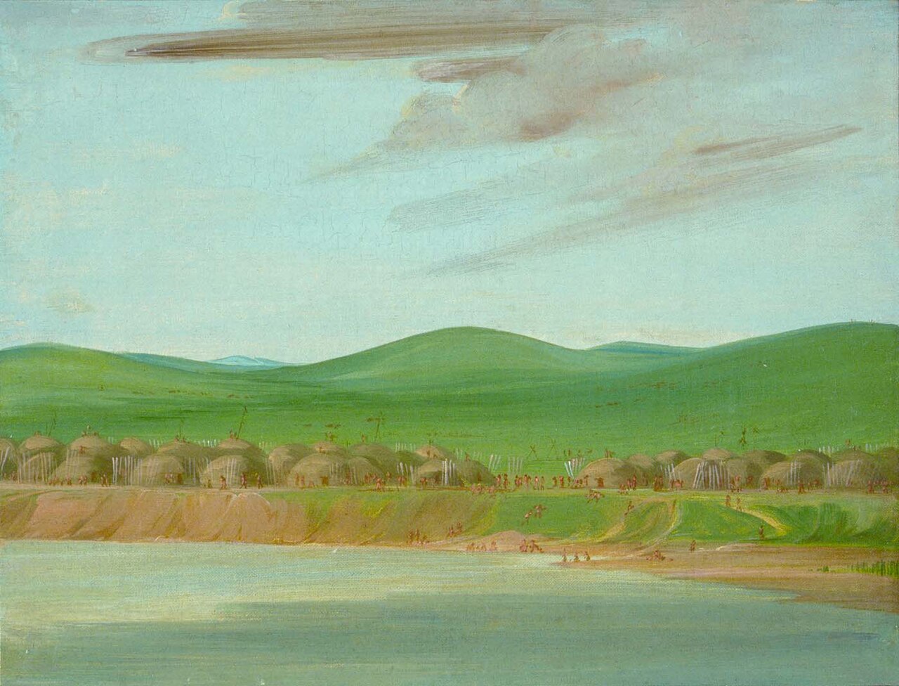 Painting
Secondary source
Arikara Village of Earth-Covered Lodges, 1600 Miles above St. Louis
George Catlin · 1832
Free account
Read every Jedediah Smith source
Sign up free →
Ready when you are
Start chatting with Jedediah Smith now.
20 messages free · No credit card · Available in 50+ languages.