


Primary sourcePainting
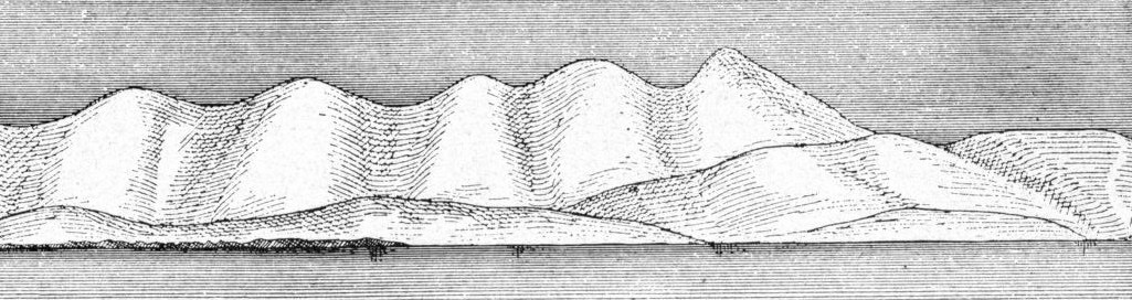
Overswept Mountains with Parallel Valleys near East Cape
John Muir
An engraved illustration by John Muir of rounded mountains and ridges that show glacial landforms, recorded about twenty miles northwest of East Cape.
Shows the glacial mountain landscape Muir surveyed near East Cape, part of his record of ice-shaped terrain.
About this source
What it is
This is a black-and-white engraved illustration of a line of rounded, hatched mountains and ridges running across the frame. Dark shading suggests valleys between them. The collection record gives its title as Overswept Mountains, with Parallel Valleys and Ridges, from Twenty Miles Northwest of East Cape. The collection record describes it as Muir's own illustration from The Cruise of the Corwin. The copy shown is a digital image held in the Wikimedia Commons archive.
Why it matters
Muir used drawings like this to record glacial landforms he surveyed in Alaska. The title names the place, which shows how scientific observation of land was tied to exact location. The image connects his field work to the account of the voyage he published.
Look closer
- What does the title tell you about where and how Muir observed this land?
- How do the shading and hatching show valleys and ridges?
- What might this view leave out about the land beyond the ridges?
This painting is part of the curated material that grounds the AI version of John Muir on Humy.ai — when students ask about related events, the AI can quote it and cite it.
More John Muir sources
Meet the AI John Muir →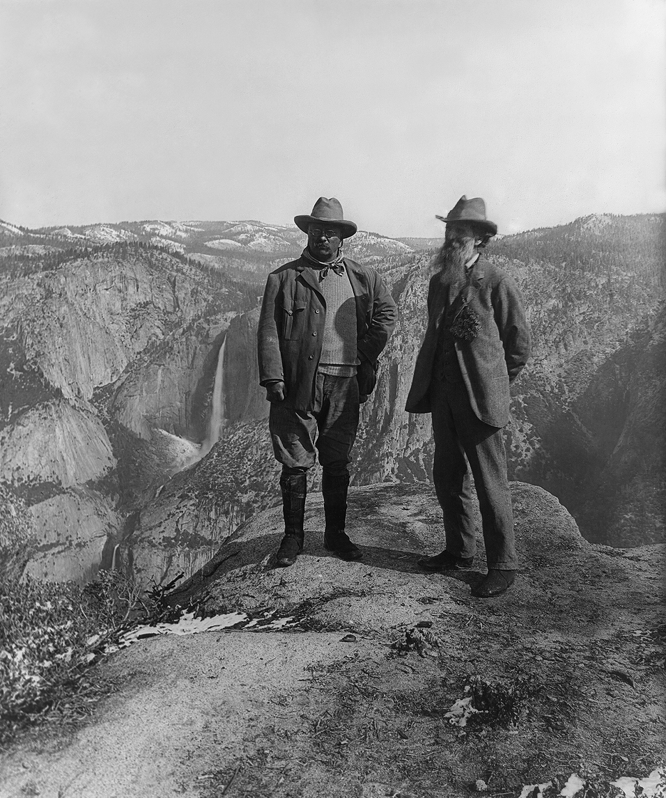 Photograph
Primary source
Muir and Roosevelt at Glacier Point
Underwood & Underwood · 1903
Primary source
My First Summer in the Sierra
John Muir · 1911
Primary source
Our National Parks
John Muir · 1901
 Document
Primary source
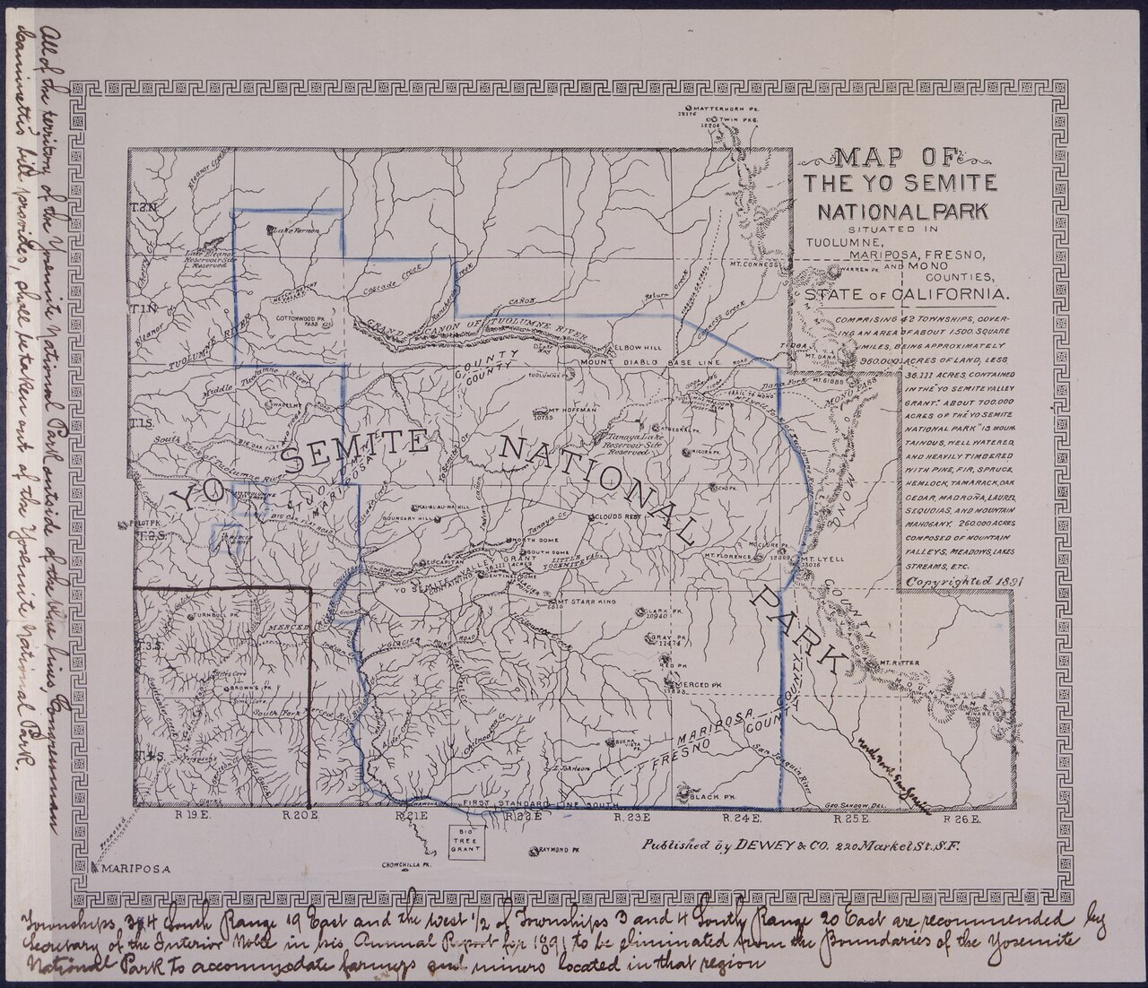
Petition and Map from the Sierra Club Founders
John Muir and the Sierra Club
 Book
Primary source
The Mountains of California
John Muir · 1894
Ready when you are
Start chatting with John Muir now.
20 messages free · No credit card · Available in 50+ languages.