


Secondary sourceDocument1900
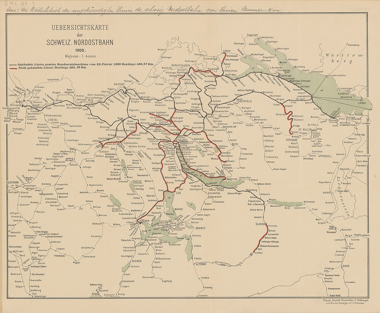
Overview Map of Swiss Northeastern Railway Lines
Topographische Anstalt Winterthur, J. Schlumpf · 1900
A 1900 map showing the lines of the Northeastern Railway in Switzerland, the company led by Alfred Escher.
A map of the railway network built by the company Escher led, published after his death.
About this source
What it is
This is a printed map from 1900 titled "Uebersichtskarte der Schweiz. Nordostbahn," showing the rail lines of the Swiss Northeastern Railway at a scale of 1:400000, with lake and border regions marked.
Why it matters
The Northeastern Railway was one of the companies Alfred Escher led during his career building up Switzerland's rail network. Although published after his death in 1882, this map shows the scale of the railway system that his work helped establish, connecting towns and regions across Switzerland.
Look closer
- What can a railway map tell us about which parts of the country were connected and which were not?
- Why might maps like this have been made for the public?
- What does the map leave out about the people who built and used these railways?
This document is part of the curated material that grounds the AI version of Alfred Escher on Humy.ai — when students ask about related events, the AI can quote it and cite it.
More Alfred Escher sources
Browse all 48 →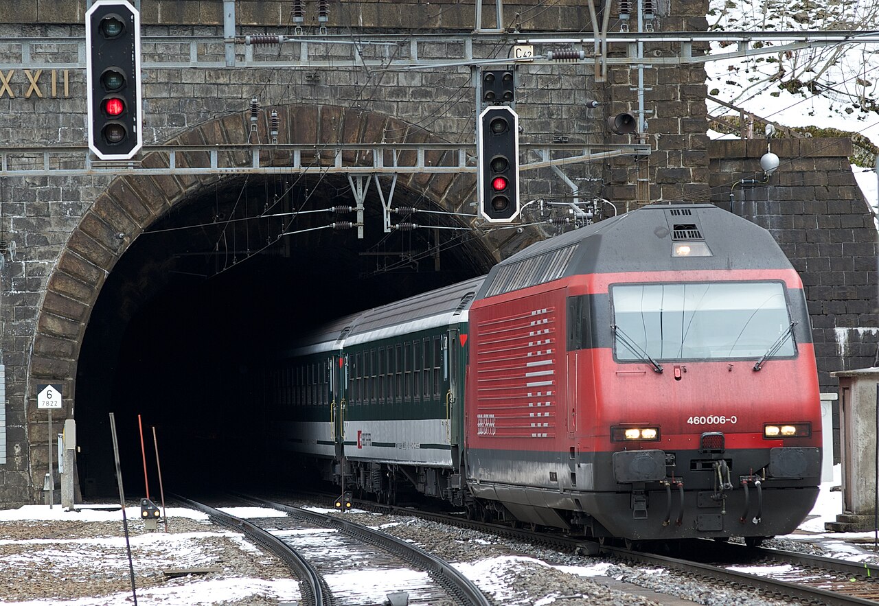 Artifact
Primary source
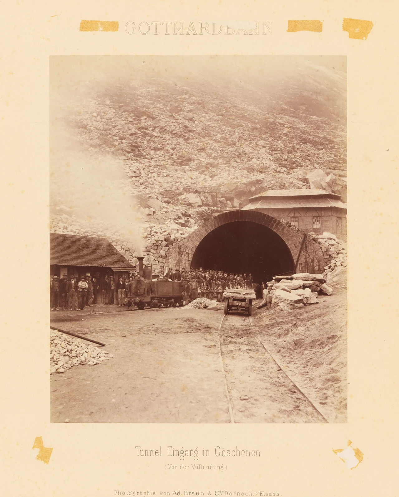
Gotthard Tunnel
1882
 Photograph
Secondary source
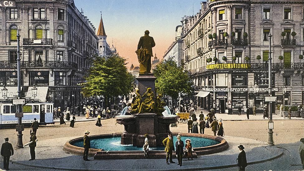
Alfred Escher Monument at Bahnhofplatz
Unknown · before 1914
 Photograph
Primary source
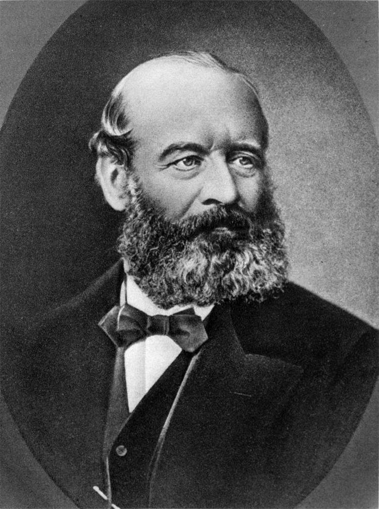
Alfred Escher photo
Unknown author
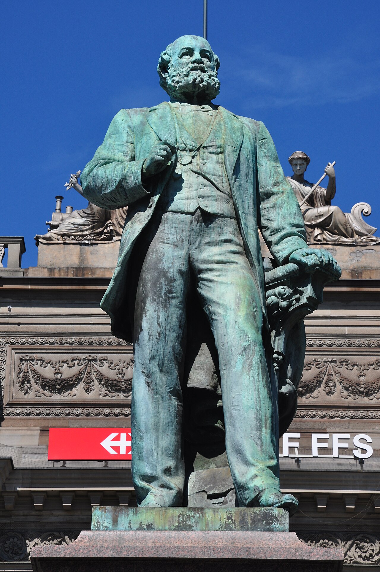 Sculpture
Secondary source
Statue of Alfred Escher
Richard Kissling · 1889
Free account
Read every Alfred Escher source
Sign up free →
Ready when you are
Start chatting with Alfred Escher now.
20 messages free · No credit card · Available in 50+ languages.