


Primary sourceBook
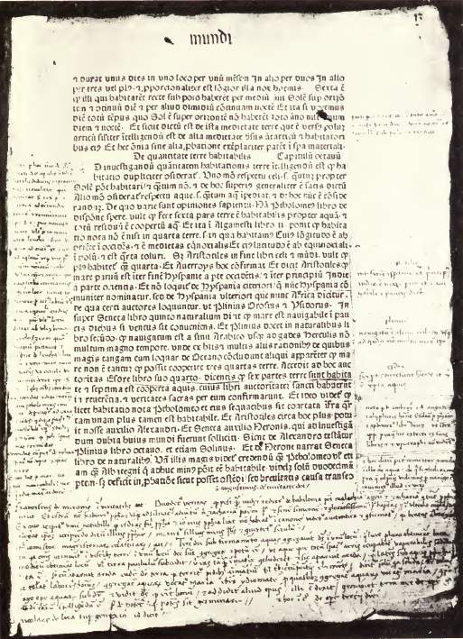
Page of Imago Mundi Annotated by Columbus
A printed page from the medieval geography book Imago Mundi, covered with Columbus's own handwritten margin notes.
These are Columbus's own annotations on a geography book he studied before planning his voyages.
About this source
What it is
This is a scanned page from a printed copy of Imago Mundi, a medieval Latin geography text, with handwritten marginal annotations made by Christopher Columbus.
Why it matters
Imago Mundi was one of the books Columbus studied closely before his voyages. His notes in the margins show how he absorbed and reinterpreted older geographic ideas to build his case for a westward route to Asia. This source reveals the intellectual background behind his plans, not just the outcome of his journeys.
Look closer
- What does the placement of handwritten notes around the printed text tell you about how Columbus read?
- Why might a navigator study a geography book written long before his own time?
- What can't you learn from these notes about whether Columbus's ideas were accurate?
This book is part of the curated material that grounds the AI version of Christopher Columbus on Humy.ai — when students ask about related events, the AI can quote it and cite it.
More Christopher Columbus sources
Meet the AI Christopher Columbus →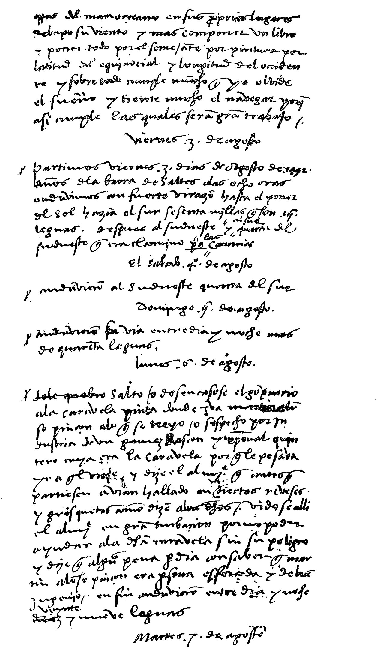 Diary entry
Primary source
Christopher Columbus' Journal
Christopher Columbus · 3 August 1492 – 15 March 1493
 Painting
Secondary source
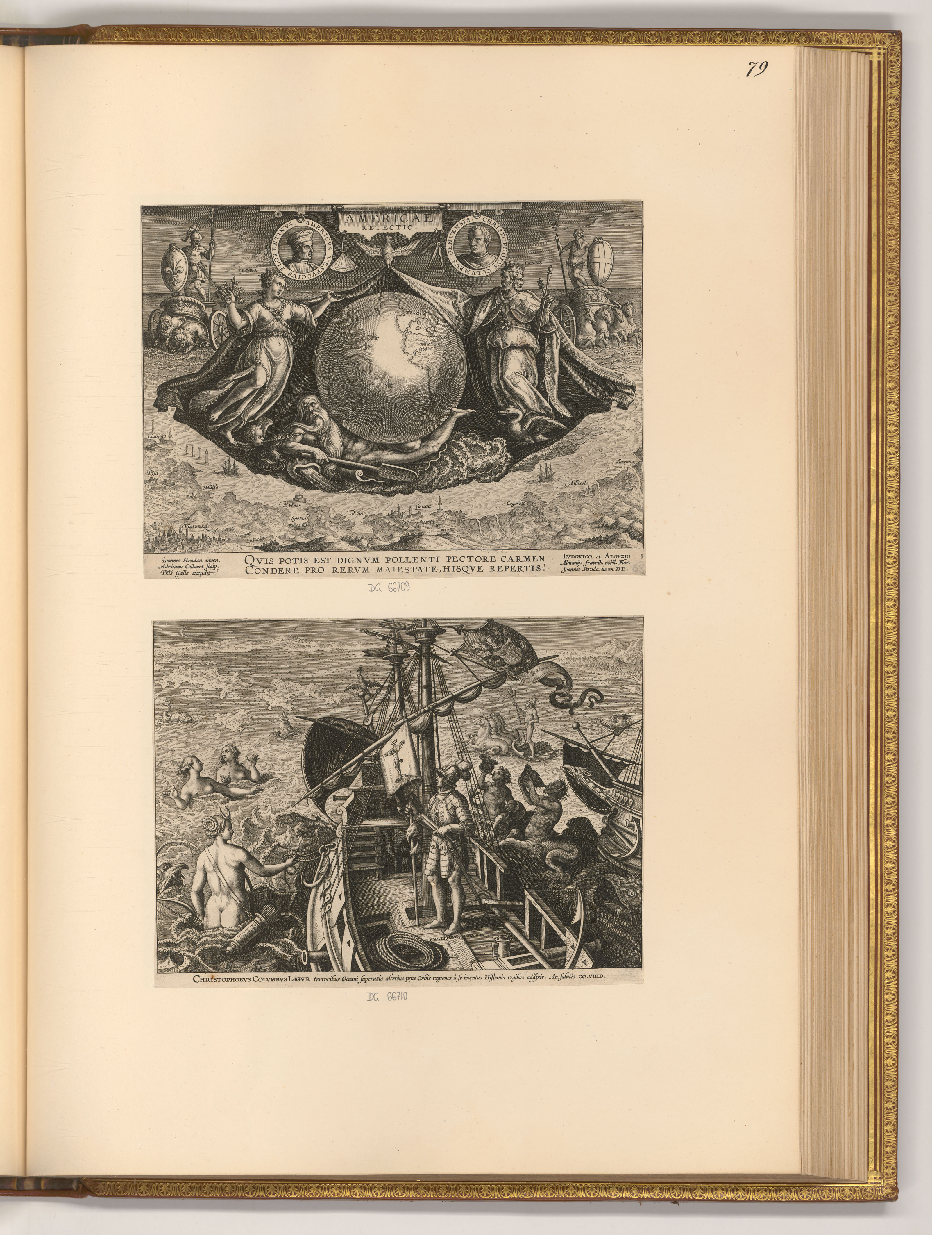
Americae Retectio Title Page with Columbus on His Ship
 Letter
Primary source
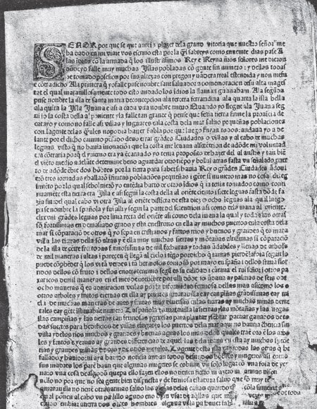
Columbus Letter on the First Voyage
Christopher Columbus · 15 February 1493
 Painting
Secondary source
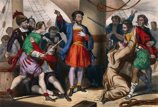
Columbus Admonishes His Men
Cassé
 Document
Primary source
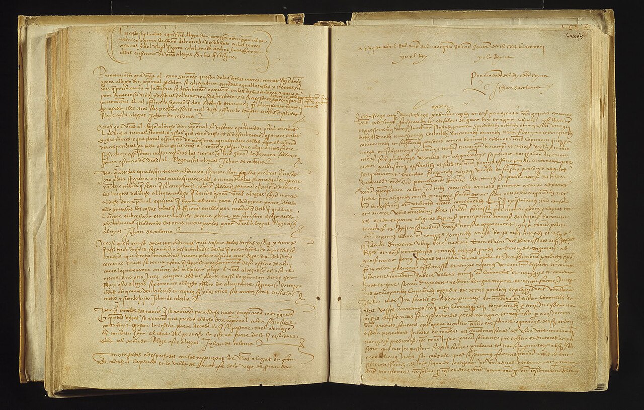
Capitulations of Santa Fe
Catholic Monarchs · 17 April 1492
Ready when you are
Start chatting with Christopher Columbus now.
20 messages free · No credit card · Available in 50+ languages.