


Secondary sourceDocument
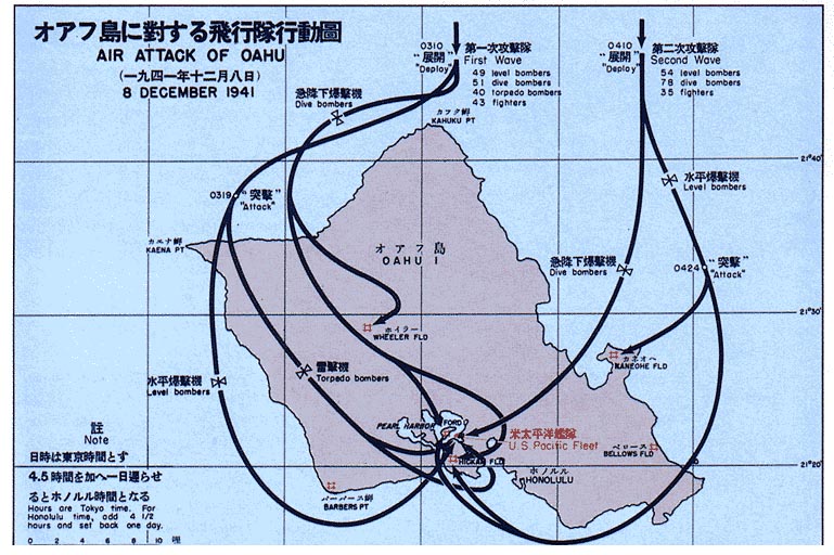
Pearl Harbor Bombings Map
A Japanese-language map tracing the flight routes of the attack on Pearl Harbor, an operation Yamamoto planned.
This map depicts the attack on Pearl Harbor, which Yamamoto planned and ordered as commander of the Combined Fleet.
About this source
What it is
This is a map titled 'Air Attack of Oahu, 8 December 1941,' showing the island of Oahu with arrows tracing the flight paths of the first and second waves of Japanese aircraft during the attack on Pearl Harbor, including targets like Wheeler, Hickam, Kaneohe, and Bellows airfields.
Why it matters
Yamamoto was the chief architect of the Pearl Harbor attack, which brought the United States into the Second World War. This map shows the scale and planning behind the operation, even without further documentation of its origin.
Look closer
- What can the arrows and notes on the map tell you about how the attack was organized?
- Why might this map be labeled in Japanese rather than English?
- What is missing from a map like this that a full account of the attack would need?
This document is part of the curated material that grounds the AI version of Isoroku Yamamoto on Humy.ai — when students ask about related events, the AI can quote it and cite it.
More Isoroku Yamamoto sources
Browse all 72 →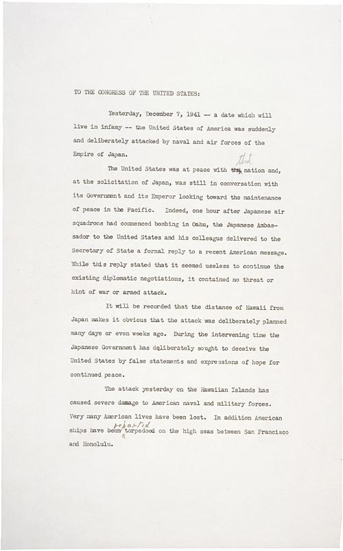 Speech
Primary source
Day of Infamy Speech
Franklin Delano Roosevelt · 8 December 1941
 Photograph
Primary source
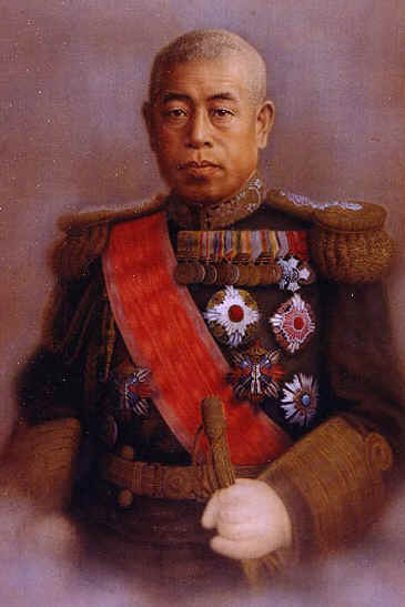
Admiral Isoroku Yamamoto
 Photograph
Primary source
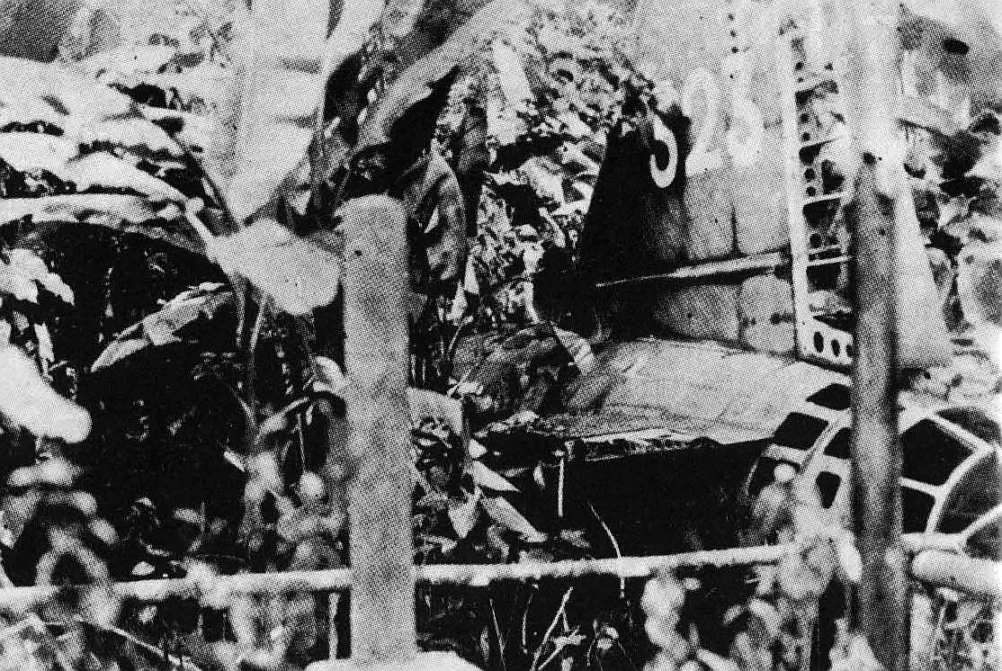
Yamamoto's airplane crash
April 1943
 Photograph
Primary source
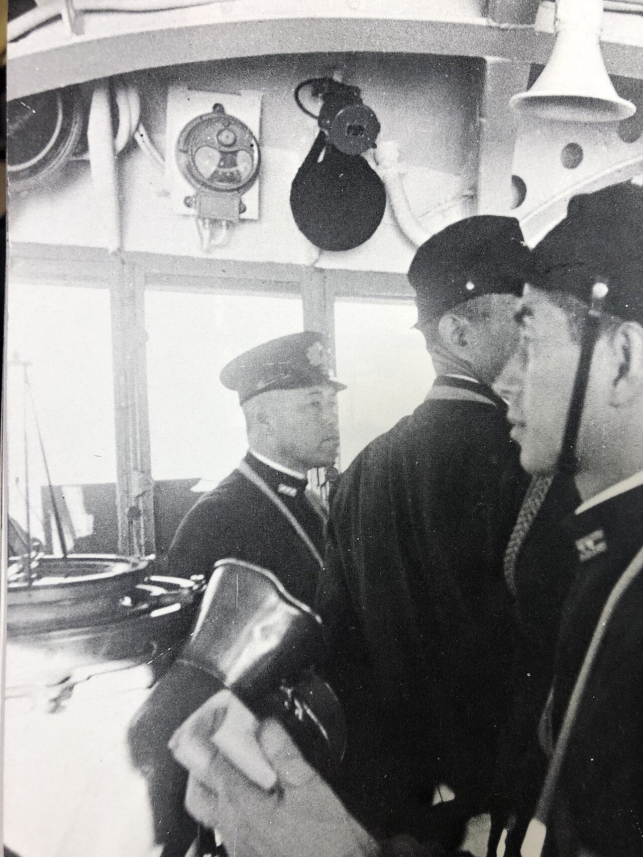
Japanese battleship Nagato
Kure Naval Arsenal · 1920
Free account
Read every Isoroku Yamamoto source
Sign up free →
Ready when you are
Start chatting with Isoroku Yamamoto now.
20 messages free · No credit card · Available in 50+ languages.