


Secondary sourceDocument
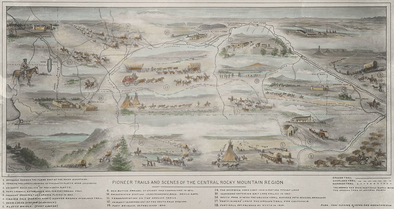
Pioneer Trails and Scenes of the Central Rocky Mountains
William Henry Jackson
A painted map of the Oregon, Overland and Mormon trails with wagon trains, forts and numbered landmarks. It shows the South Pass region that Smith's explorations helped open, but Smith did not make it.
Shows the South Pass trail routes that the curator links to Smith's explorations, drawn long after his travels.
About this source
What it is
This is a painted map titled 'Pioneer Trails and Scenes of the Central Rocky Mountain Region.' It shows the Oregon Trail, the Overland Trail and the Mormon Trail. Around the route it pictures wagon trains, a stagecoach, Native American tipis, buffalo herds and forts, with a numbered key of landmarks. William Henry Jackson (1843-1942) is listed as the creator. The date is not given in the facts.
Why it matters
The curator's note says the map shows the routes through South Pass country that Jedediah Smith's explorations opened. Smith's own travels in the 1820s came before most of the emigrant traffic the map shows, and the map was made much later. It is a useful picture of how later Americans remembered and mapped the trails, and its landmarks include names of fur traders, army posts and emigrant groups.
Look closer
- Which groups of people appear on the map, and how are they shown?
- Why might a map made later include a key of landmarks and short notes?
- What does the map leave out about the Native peoples whose lands these trails crossed?
This document is part of the curated material that grounds the AI version of Jedediah Smith on Humy.ai — when students ask about related events, the AI can quote it and cite it.
More Jedediah Smith sources
Browse all 49 →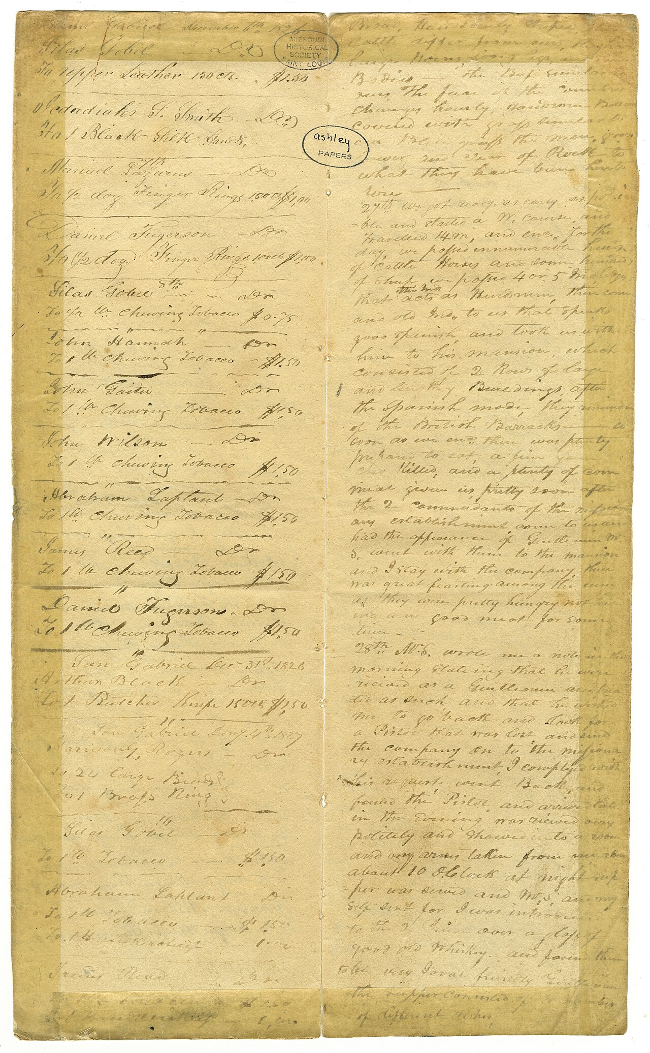 Diary entry
Primary source
Journals of Harrison G. Rogers
Harrison G. Rogers · 1826–1828
 Book
Secondary source
History of the Expedition under the Command of Captains Lewis and Clark
Nicholas Biddle and Paul Allen (eds.) · 1814
 Painting
Secondary source
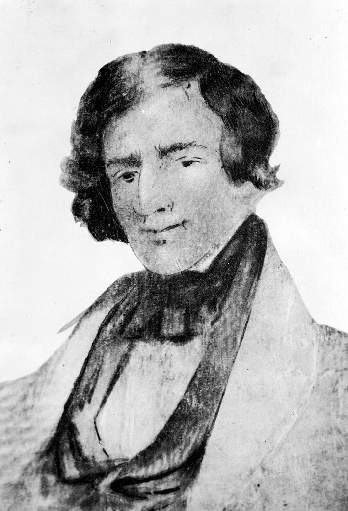
Portrait of Jedediah Smith
Unknown friend of Jedediah Smith · c. 1835
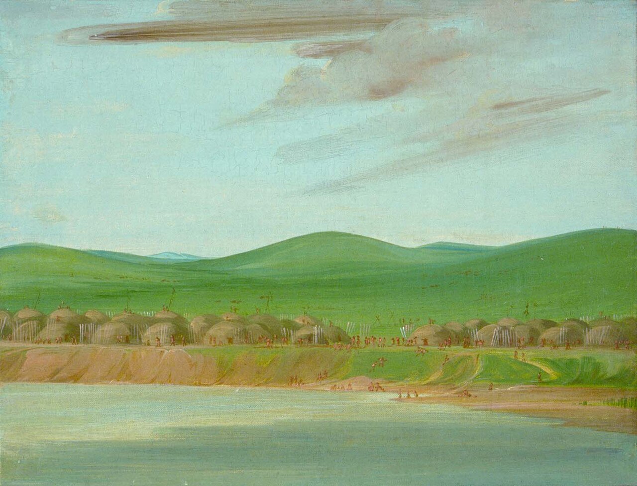 Painting
Secondary source
Arikara Village of Earth-Covered Lodges, 1600 Miles above St. Louis
George Catlin · 1832
Free account
Read every Jedediah Smith source
Sign up free →
Ready when you are
Start chatting with Jedediah Smith now.
20 messages free · No credit card · Available in 50+ languages.