


About this source
placeholder
This document is part of the curated material that grounds the AI version of Tenzing Norgay on Humy.ai — when students ask about related events, the AI can quote it and cite it.
More Tenzing Norgay sources
Browse all 44 →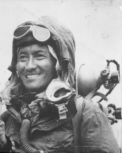 Photograph
Primary source
Tenzing Norgay and Edmund Hillary After the Summit
Jamling Tenzing Norgay · 29 May 1953
 Photograph
Primary source
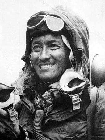
Portrait of Tenzing Norgay, 1953
1953
 Document
Primary source
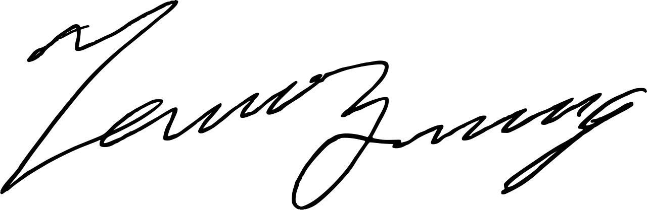
Signature of Tenzing Norgay
Tenzing Norgay
 Photograph
Primary source
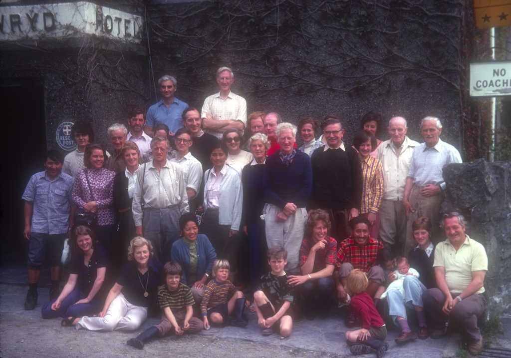
1963 Reunion of the 1953 Everest Expedition
Gowron (photo by File Upload Bot (Magnus Manske)) · 1963
+39more sources
Free account
Read every Tenzing Norgay source
Sign up free →
Ready when you are
Start chatting with Tenzing Norgay now.
20 messages free · No credit card · Available in 50+ languages.