


Primary sourceDocument1780
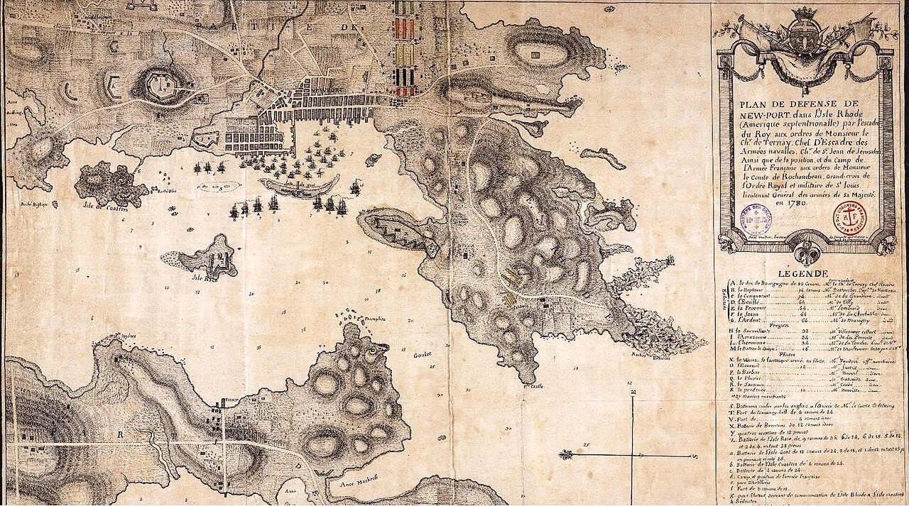
Plan of French Troop and Naval Stationing at Newport
Mullon · 1780
A 1780 French military map showing the defense of Newport and the positions of Rochambeau's army and the French fleet.
Shows the camp and army positions of Rochambeau's forces during the Newport expedition.
About this source
What it is
This 1780 hand-drawn map, titled Plan de defense de Newport, shows the harbor, fortifications, anchored ships, and the camp positions of the French army around Rhode Island. It was made by Mullon, a lieutenant commander aboard the ship Hermione. The map records the squadron under the Chevalier de Ternay and the army camp under the orders of the Comte de Rochambeau, Lieutenant General of the Armies of King Louis XVI, in 1780.
Why it matters
Newport was the landing and wintering base for the French expeditionary force sent to support the American Revolution. This map is a direct, contemporary record of how Rochambeau's forces and the French navy were positioned to defend that base, showing military planning in real time.
Look closer
- What details does the legend give about the ships and regiments shown?
- Why would a military officer need a detailed map like this?
- What does this map suggest about the cooperation between French army and navy forces?
This document is part of the curated material that grounds the AI version of Jean-Baptiste Donatien de Vimeur, comte de Rochambeau on Humy.ai — when students ask about related events, the AI can quote it and cite it.
More Jean-Baptiste Donatien de Vimeur, comte de Rochambeau sources
Meet the AI Jean-Baptiste Donatien de Vimeur, comte de Rochambeau →Primary source
Articles of Capitulation, Yorktown
Charles Cornwallis; George Washington; Comte de Rochambeau; Comte de Barras · 19 October 1781
 Document
Primary source
Treaty of Alliance with France
6 February 1778
 Book
Primary source
Mémoires militaires, historiques et politiques de Rochambeau
comte de Rochambeau · 1809
 Painting
Primary source
Portrait of Jean-Baptiste Donatien de Vimeur, comte de Rochambeau
Charles Willson Peale · 1782
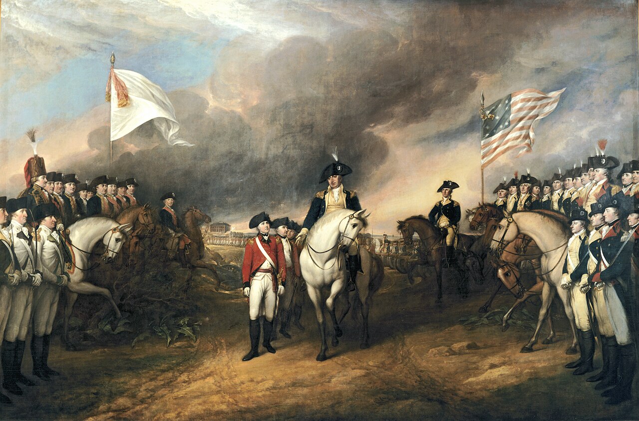 Painting
Secondary source
Surrender of Lord Cornwallis
John Trumbull · 1819
Ready when you are
Start chatting with Jean-Baptiste Donatien de Vimeur, comte de Rochambeau now.
20 messages free · No credit card · Available in 50+ languages.