


Secondary sourceDocument
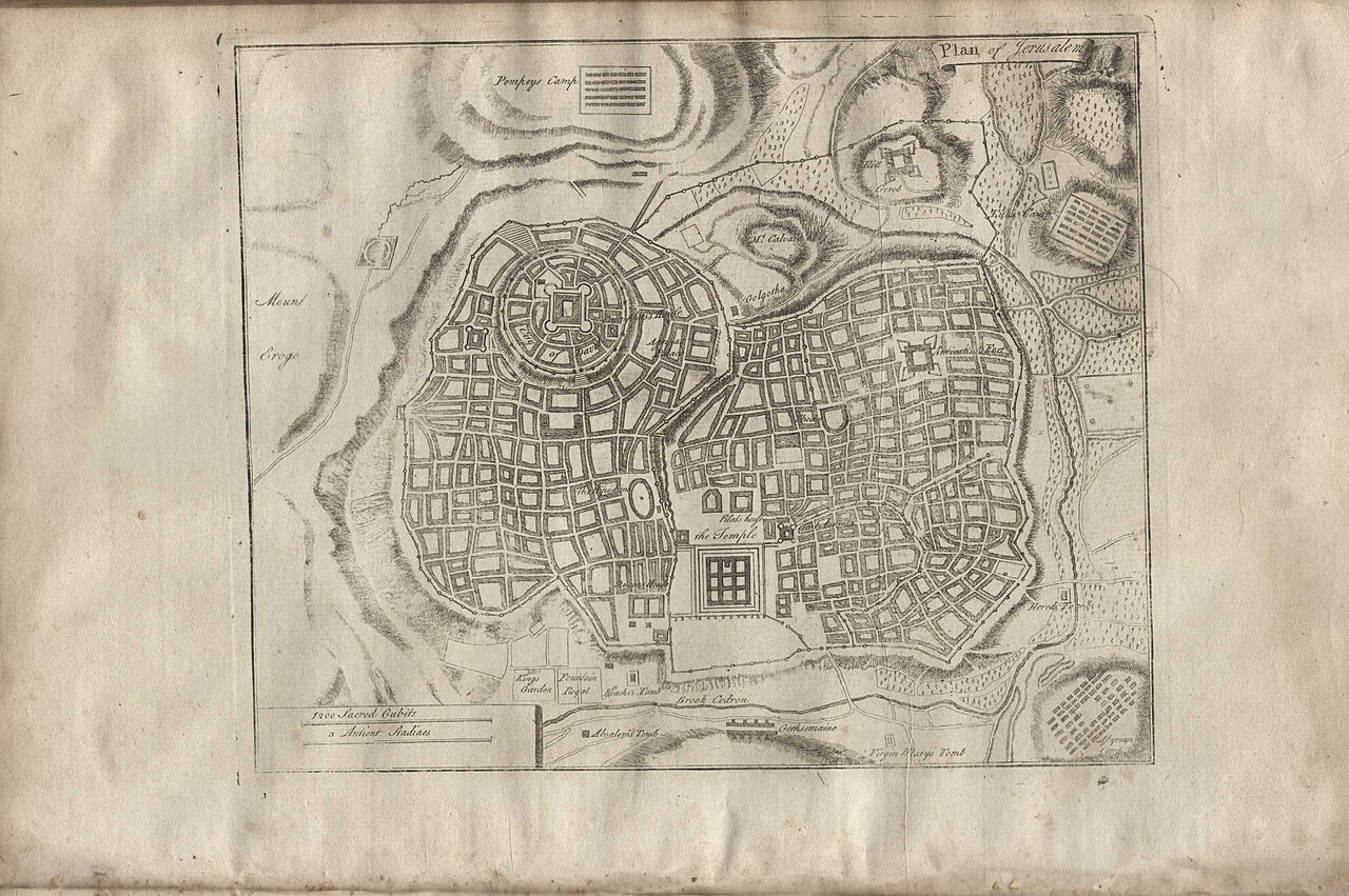
Plan of Jerusalem
An 18th-century engraved map reconstructing ancient Jerusalem based on descriptions in Josephus's writings.
A later map built directly from Josephus's own topographical descriptions of Jerusalem.
About this source
What it is
This engraved plan shows a reconstructed view of ancient Jerusalem, with a walled city, a central temple enclosure, and labeled sites including Pompey's Camp and the Tombs of the Kings. It was created using Josephus's descriptions of the city's layout.
Why it matters
Josephus's detailed writings about Jerusalem, including the Temple and the city's defenses during the Roman siege, became one of the main sources later scholars used to try to reconstruct what the ancient city looked like. This map shows how seriously later historians and mapmakers relied on his testimony.
Look closer
- What choices did the mapmaker have to make when turning written descriptions into a visual plan?
- Which parts of the map seem most confidently drawn, and which might be guesswork?
- How might relying on a single ancient author shape what later generations believed about the city?
This document is part of the curated material that grounds the AI version of Josephus on Humy.ai — when students ask about related events, the AI can quote it and cite it.
More Josephus sources
Browse all 88 →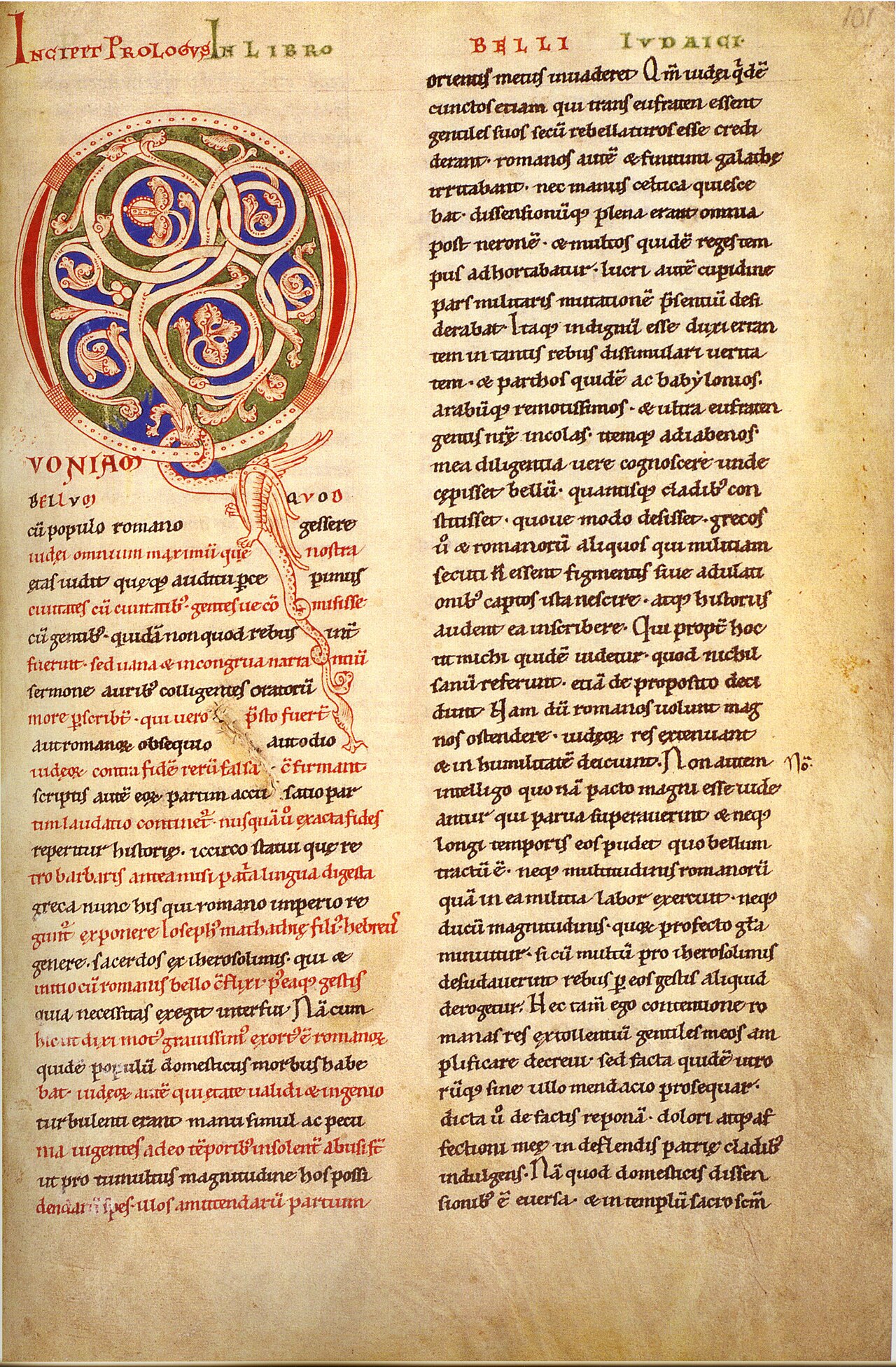 Book
Secondary source
The Jewish War
Josephus · c. AD 75
 Book
Secondary source
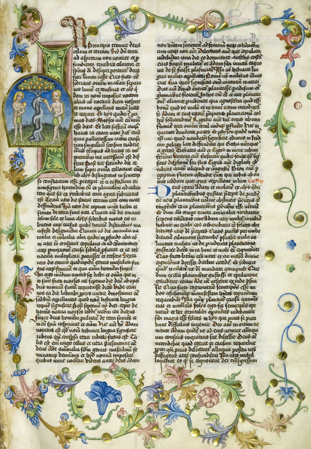
Antiquities of the Jews
Josephus · 94 CE
 Book
Primary source
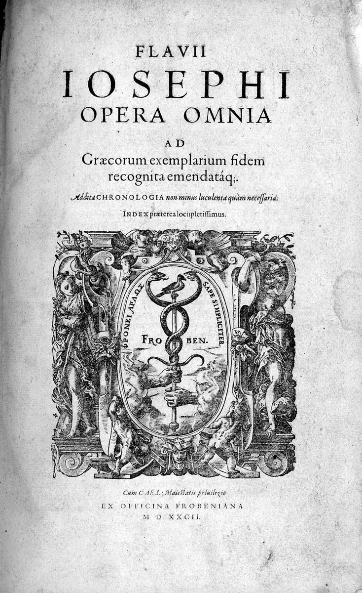
The Life of Flavius Josephus
Josephus · c. AD 94-99
Secondary source
Against Apion
Josephus · after 94 CE
Free account
Read every Josephus source
Sign up free →
Ready when you are
Start chatting with Josephus now.
20 messages free · No credit card · Available in 50+ languages.