


Primary sourceDocument1895
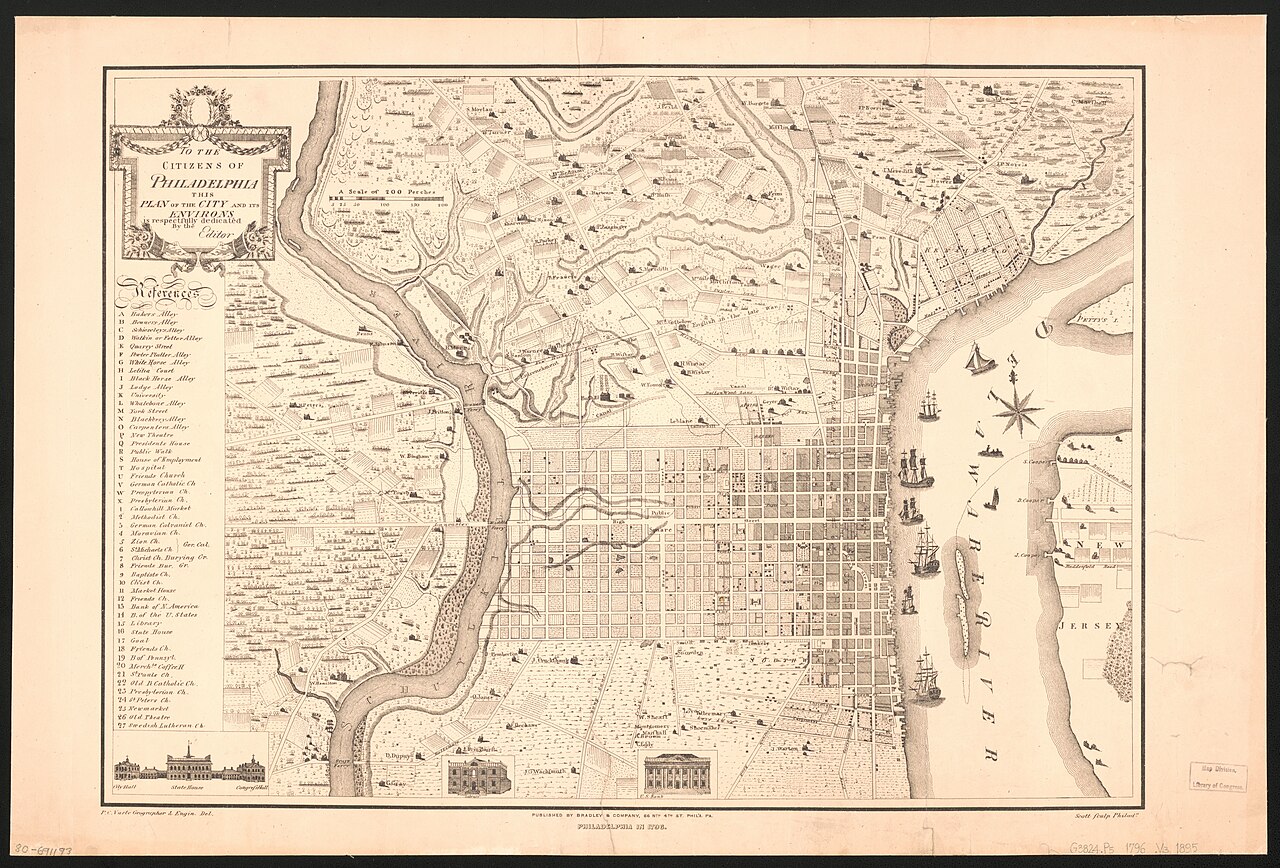
Plan of Philadelphia in 1796
Varte, P. C.; Kaufmann, Charles D.; Bradley & Company · 1895
A facsimile map of Philadelphia as it looked in 1796, showing the city where Absalom Jones lived and worked as a minister.
Depicts the city of Philadelphia where Jones founded his church and ministered during the 1790s.
About this source
What it is
This is a facsimile map titled 'Philadelphia in 1796,' originally published in Charles D. Kaufmann's street atlas of Philadelphia in 1895. The map shows the dense street grid of central Philadelphia along the Delaware River, with a key of points of interest, a compass rose, and small illustrations of buildings.
Why it matters
This map shows the city of Philadelphia during the years Absalom Jones was active as a minister and community leader. While it does not depict Jones directly, it helps students understand the urban setting in which his church and the Free African Society operated.
Look closer
- What landmarks on the map might have been important to Philadelphia's Black community in the 1790s?
- Why would a map made almost a century later be useful for studying the 1790s?
- What does the map not show about the people who lived in these streets?
This document is part of the curated material that grounds the AI version of Absalom Jones on Humy.ai — when students ask about related events, the AI can quote it and cite it.
More Absalom Jones sources
Browse all 23 →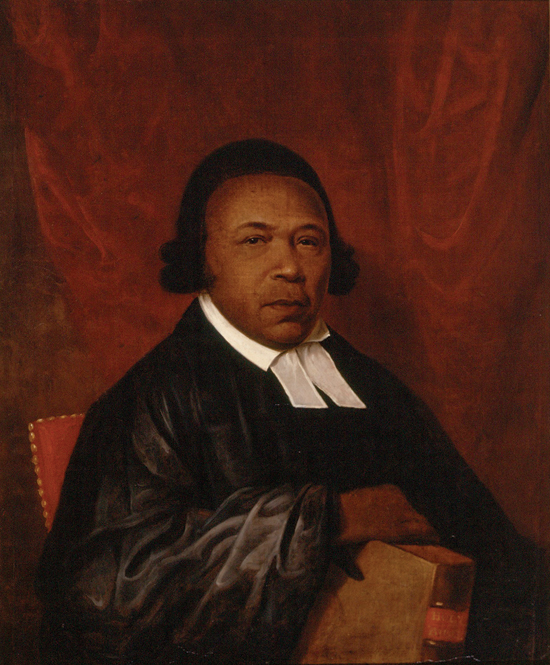 Painting
Primary source
Portrait of Absalom Jones
Raphaelle Peale · 1810
Primary source
The Life, Experience, and Gospel Labours of the Rt. Rev. Richard Allen
Richard Allen · 1833
 Book
Secondary source
Annals of the First African Church in the United States of America
William Douglass · 1862
 Artifact
Primary source
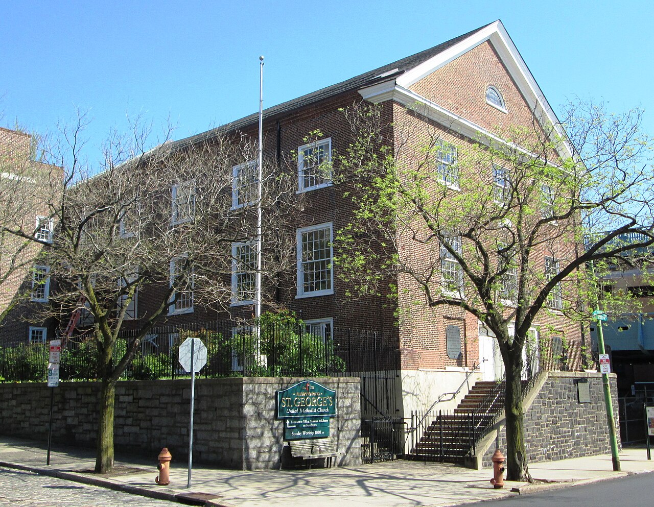
St. George's United Methodist Church
1763
Free account
Read every Absalom Jones source
Sign up free →
Ready when you are
Start chatting with Absalom Jones now.
20 messages free · No credit card · Available in 50+ languages.