


Primary sourceDocument1789
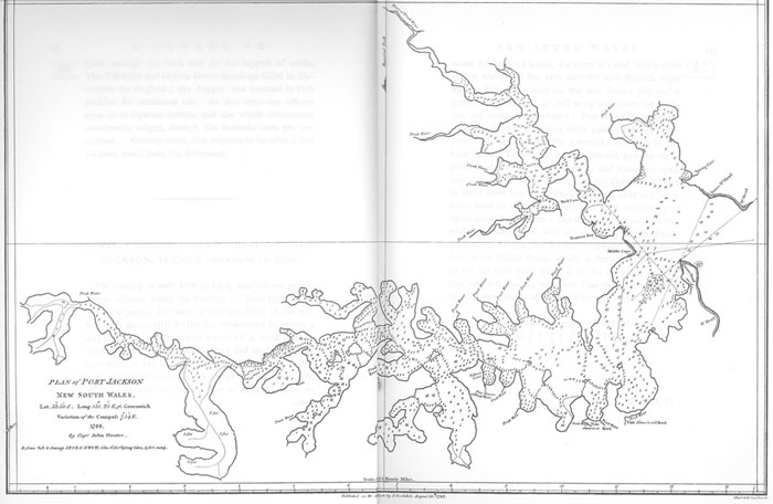
Plan of Port Jackson
1789
An engraved map of Port Jackson harbour, published in Governor Phillip's 1789 voyage account, showing the site chosen for the settlement.
This map shows the harbour Phillip selected as the site for the settlement he founded and governed.
About this source
What it is
This is a map titled 'Plan of Port Jackson', dated 1788, from The Voyage of Governor Phillip to Botany Bay (1789). It shows the harbour's branching inlets and coves, with a scale bar for measuring distances.
Why it matters
Arthur Phillip decided to move the First Fleet's settlement from Botany Bay to Port Jackson, which he judged a better harbour. This map records the geography of the site that became Sydney, documenting a key decision in the founding of the colony Phillip governed.
Look closer
- What features of the harbour might have made Phillip choose this site over Botany Bay?
- Why would a map like this matter to people back in Britain?
- What does the map leave out — such as the people already living on this land?
This document is part of the curated material that grounds the AI version of Arthur Phillip on Humy.ai — when students ask about related events, the AI can quote it and cite it.
More Arthur Phillip sources
Browse all 70 →Primary source
The Voyage of Governor Phillip to Botany Bay
Arthur Phillip · 1789
 Painting
Primary source
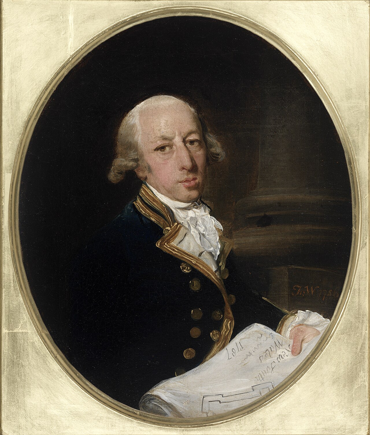
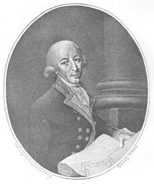
Captain Arthur Phillip, ca. 1787
Francis Wheatley · c. 1786-1787
 Painting
Primary source
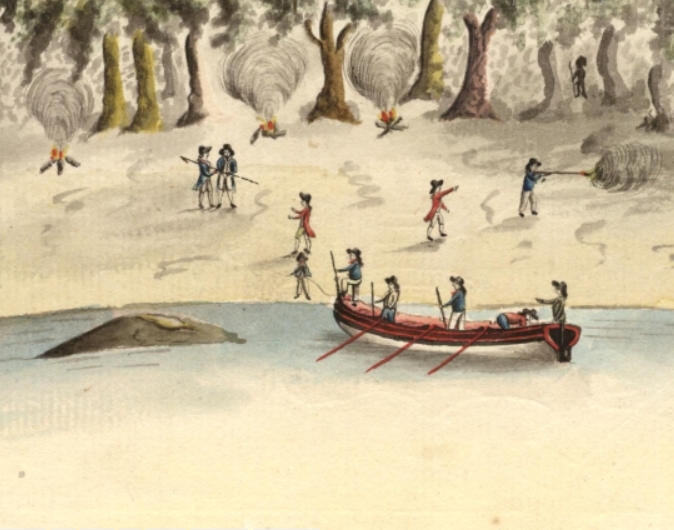
Spearing of Arthur Phillip
Port Jackson Painter · 1790
Primary source
A Narrative of the Expedition to Botany Bay
Watkin Tench · 1789


Free account
Read every Arthur Phillip source
Sign up free →
Ready when you are
Start chatting with Arthur Phillip now.
20 messages free · No credit card · Available in 50+ languages.