


Primary sourceDocument25 February 1777
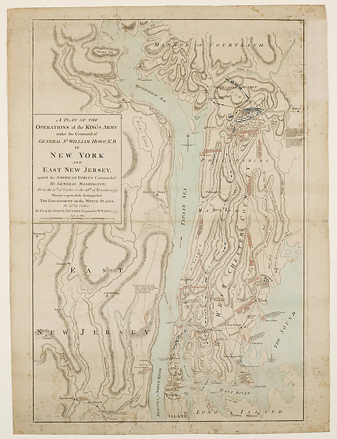
Plan of Sir William Howe's Operations, New York, 1777
Claude Joseph Sauthier · 25 February 1777
A British military map of General Howe's 1776 campaign around New York, showing the war effort that Galloway's Loyalist circle supported.
Depicts the British military campaign that Galloway, as a Loyalist, supported during the Revolutionary War.
About this source
What it is
This hand-colored etching and engraving, made by Claude Joseph Sauthier and dated 25 February 1777, maps General Sir William Howe's military operations in New York and East New Jersey against American forces under General Washington. It is held by the Metropolitan Museum of Art.
Why it matters
This map documents the British military campaign during the Revolutionary War. Joseph Galloway, who became a Loyalist, supported the British cause that this campaign represents, though he is not shown on the map itself.
Look closer
- Why would a map like this have been made and for whom?
- What details does the map include, and what might it leave out about the people actually fighting?
- How does a military map like this differ from a modern map of the same area?
This document is part of the curated material that grounds the AI version of Joseph Galloway on Humy.ai — when students ask about related events, the AI can quote it and cite it.
More Joseph Galloway sources
Meet the AI Joseph Galloway →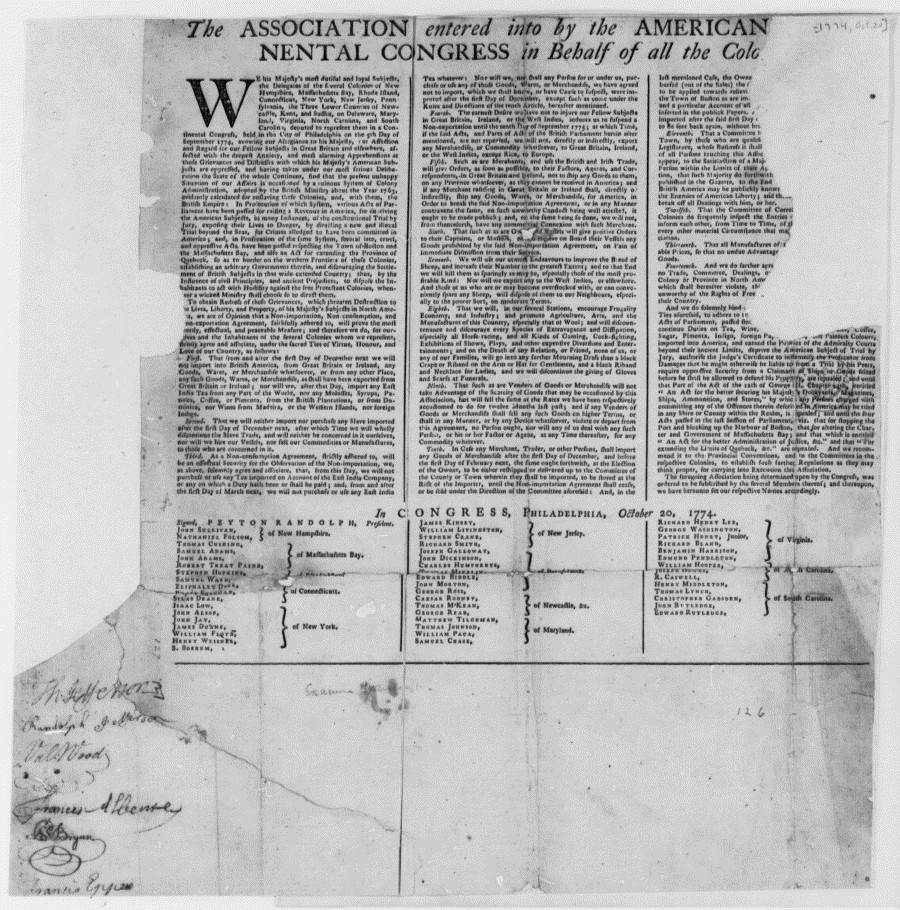 Document
Primary source
Continental Association
First Continental Congress · 20 October 1774
 Painting
Secondary source
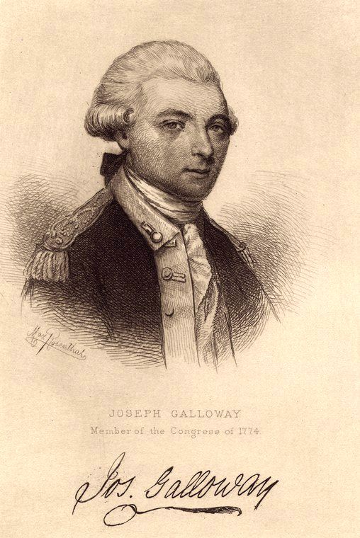
Portrait of Joseph Galloway
Thomas Emmet · 1885
 Document
Primary source
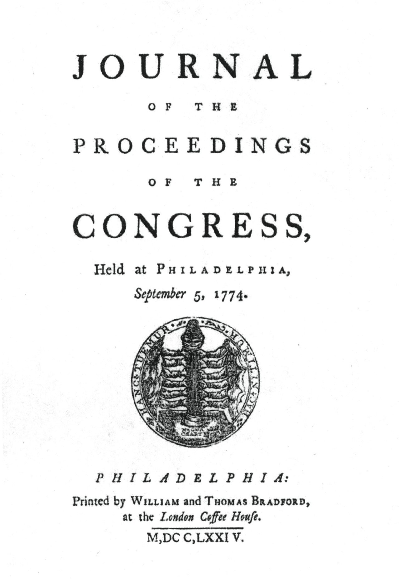
Journals of the Continental Congress
1774
 Document
Primary source
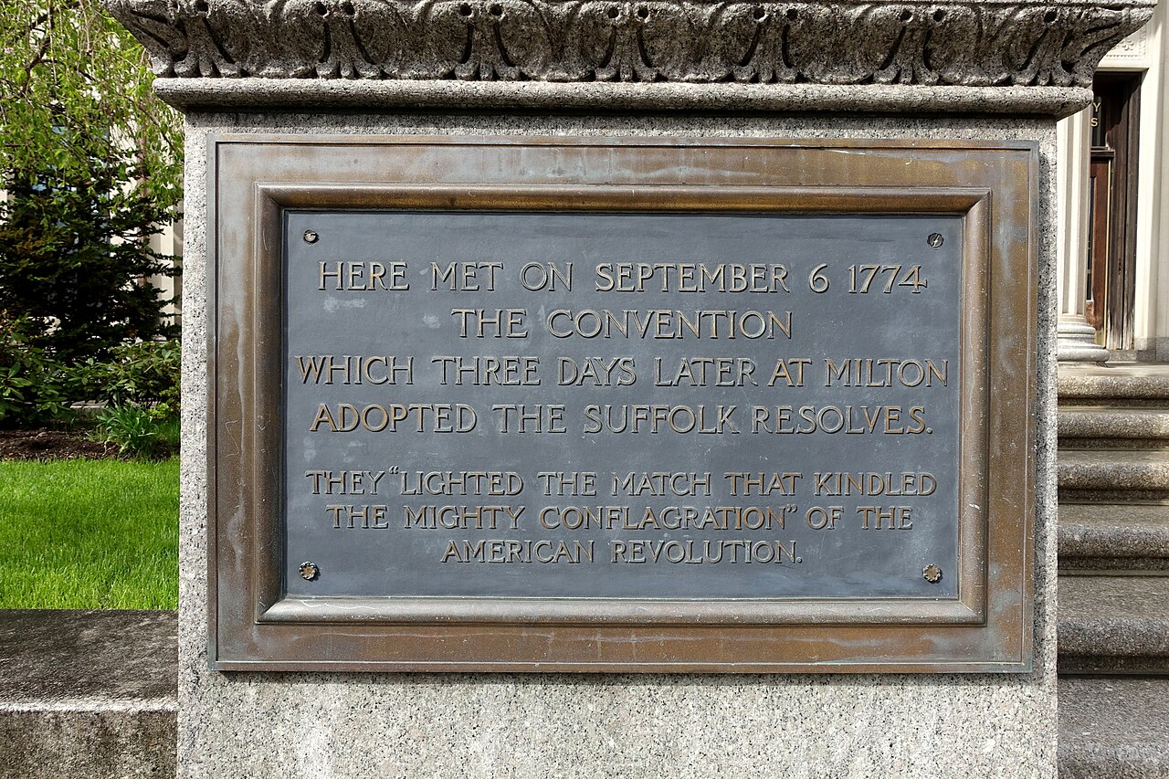
Suffolk Resolves
Joseph Warren · 1774
 Speech
Primary source
The Speech of Joseph Galloway, Esq., in Answer to the Speech of John Dickinson
Joseph Galloway · 1764
Ready when you are
Start chatting with Joseph Galloway now.
20 messages free · No credit card · Available in 50+ languages.