


Secondary sourceDocument
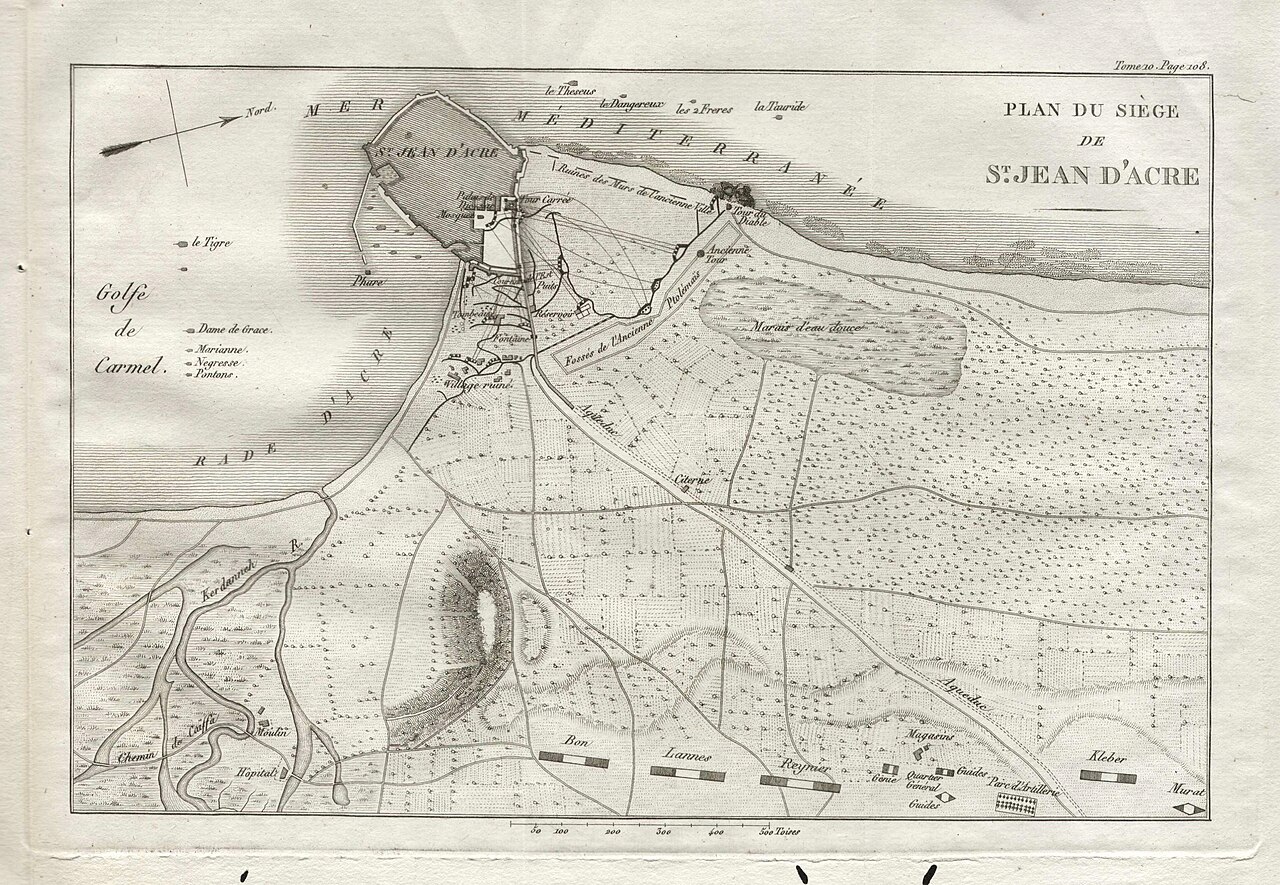
Plan of the Siege of Saint-Jean-d'Acre
An engraved map showing the walled city of Acre and its surrounding siege positions, from the campaign linked to Guy of Lusignan.
This map depicts the siege of Acre, a major campaign during Guy of Lusignan's kingship of Jerusalem.
About this source
What it is
This is an engraved map titled "Plan du siège de St. Jean d'Acre," showing the walled city of Acre on a peninsula by the Mediterranean, along with roads, camps, a marsh, and labeled positions. It has no named maker and its exact date is uncertain.
Why it matters
The siege of Acre was a key campaign of the Third Crusade, fought during the time Guy of Lusignan held the title of King of Jerusalem. Maps like this help later students visualize how a medieval siege was laid out.
Because its creator and date are unknown, it should be read carefully as a later reconstruction rather than an eyewitness plan.
Look closer
- What details does the map include, and what might it be missing?
- Why might someone have made this plan long after the siege?
- What can a map like this tell us that a written account cannot?
This document is part of the curated material that grounds the AI version of Guy of Lusignan on Humy.ai — when students ask about related events, the AI can quote it and cite it.
More Guy of Lusignan sources
Browse all 41 →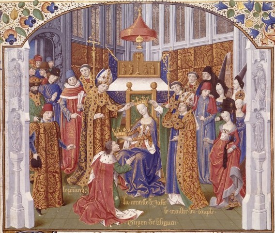 Painting
Secondary source
Coronation of Guy de Lusignan
Maître de l'Échevinage
Secondary source
Itinerarium Regis Ricardi
Richard de Templo · early 1220s
 Painting
Secondary source
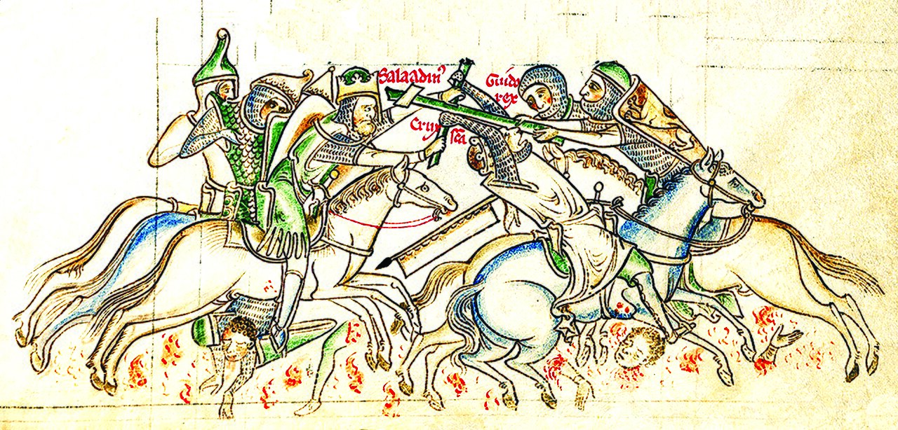
Saladin Captures the Holy Cross from Guy of Lusignan at the Battle of Hattin
Matthew Paris · 1235-1259
 Painting
Secondary source
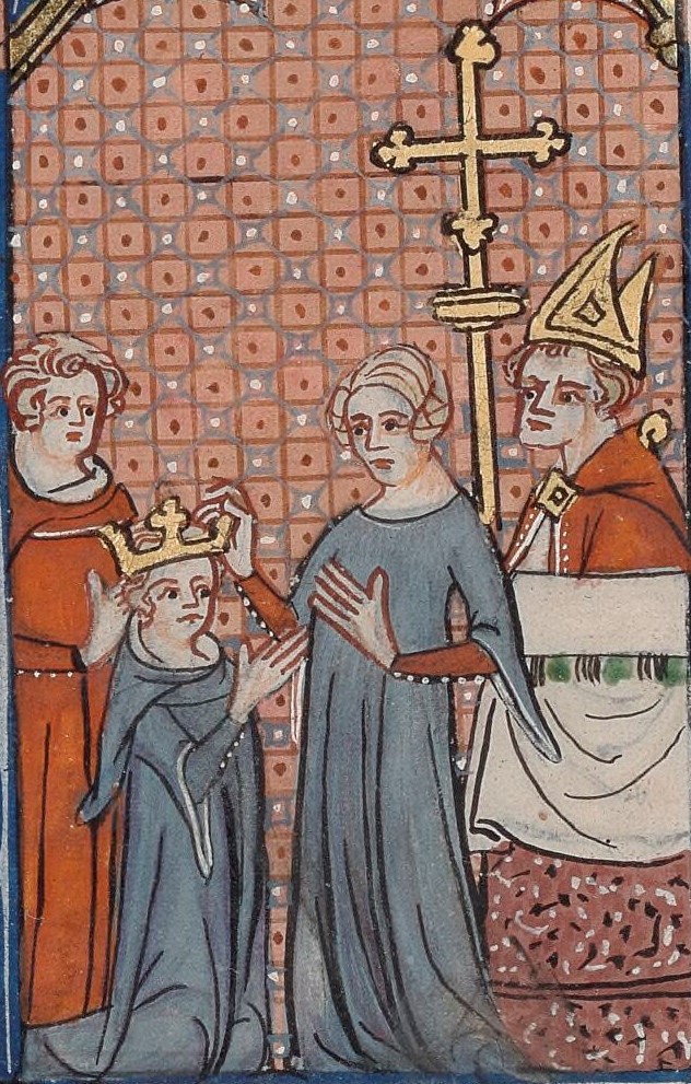
Sibylla Crowns Guy of Lusignan
Unknown Paris artist
Free account
Read every Guy of Lusignan source
Sign up free →
Ready when you are
Start chatting with Guy of Lusignan now.
20 messages free · No credit card · Available in 50+ languages.