


Primary sourceDocumentc. 1942
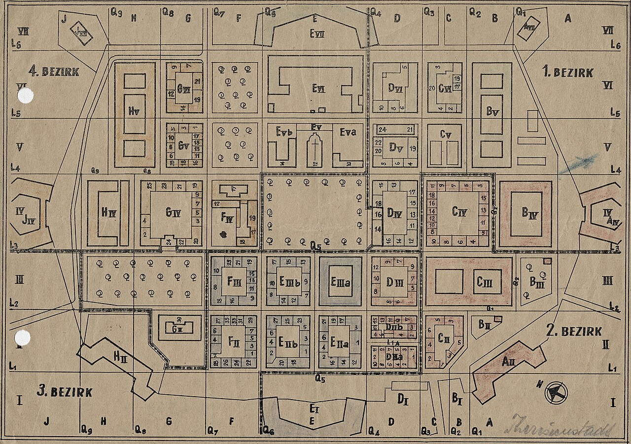
Plan of the Theresienstadt Ghetto
c. 1942
A wartime hand-drawn map of the Theresienstadt ghetto, the camp to which Viktor Frankl was deported in 1942.
Depicts the layout of the Theresienstadt ghetto, where Frankl was deported in 1942.
About this source
What it is
This is a hand-drawn style plan of the Theresienstadt ghetto, created around 1942 by an unknown author. It divides the ghetto into four numbered districts with building blocks, grid coordinates, and a compass rose, with the name 'Theresienstadt' written in the corner.
Why it matters
Theresienstadt was the ghetto to which Viktor Frankl and his family were deported in 1942. A map like this reveals how the Nazi administration organized and controlled the ghetto as a tightly structured, surveilled space. It helps students understand the physical environment Frankl and thousands of others were forced to live in.
Look closer
- Why would a ghetto need to be mapped so precisely, with grid coordinates and numbered blocks?
- What does the map not show about daily life, suffering, or the people living there?
- Who might have created this map, and for what purpose?
This document is part of the curated material that grounds the AI version of Viktor Frankl on Humy.ai — when students ask about related events, the AI can quote it and cite it.
More Viktor Frankl sources
Browse all 18 →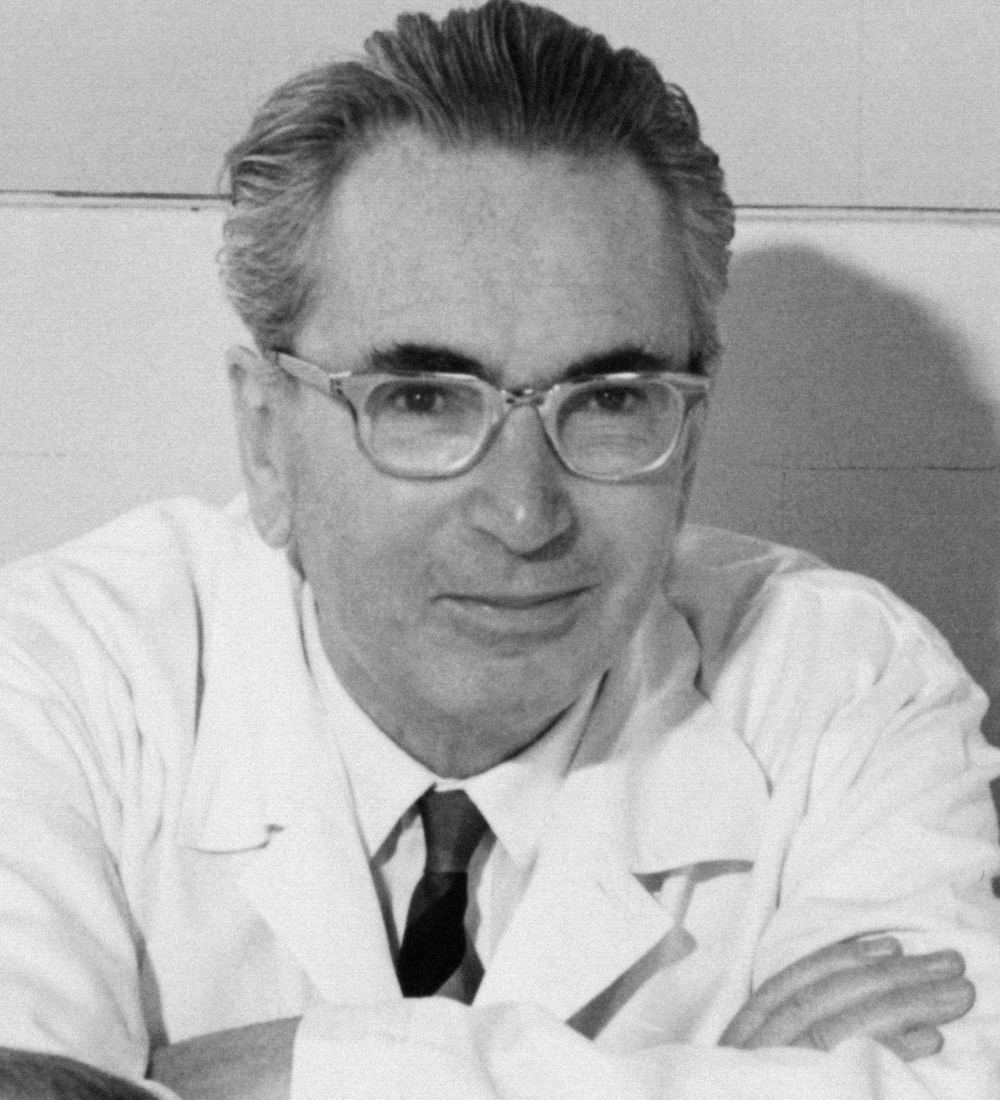 Photograph
Primary source
Portrait of Viktor Frankl
 Photograph
Primary source
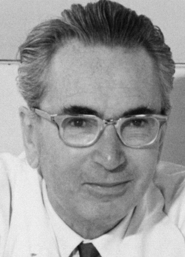
Portrait of Viktor Frankl by Franz Vesely
Franz Vesely
 Photograph
Primary source
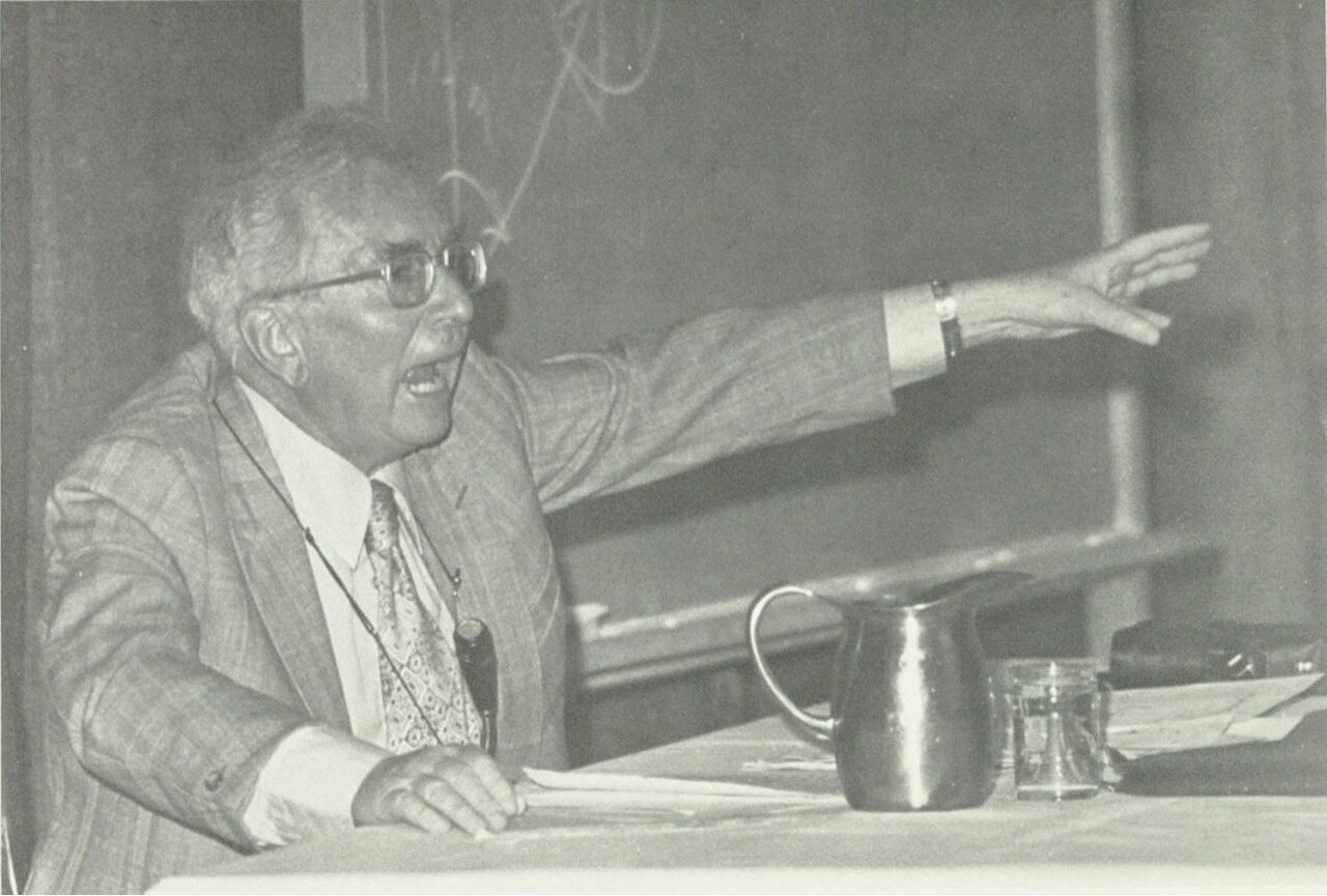
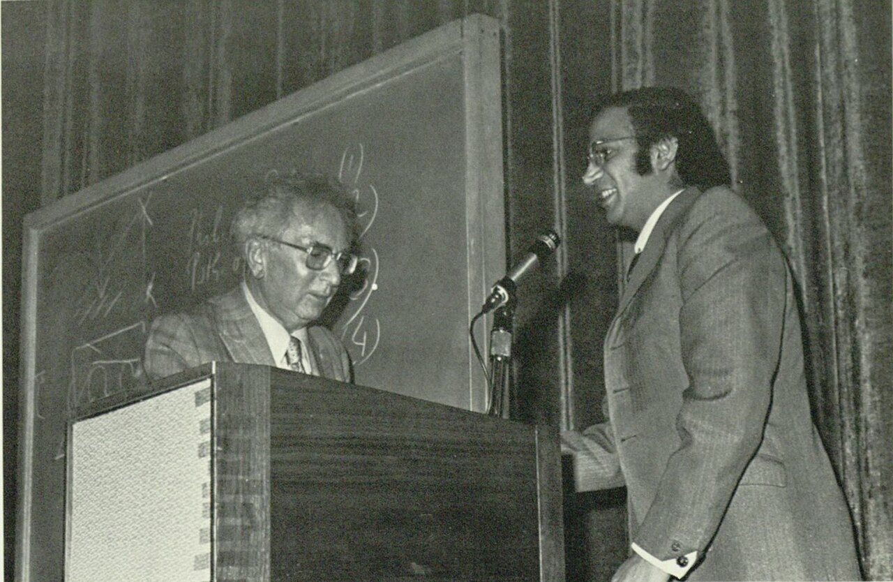
Viktor Frankl Lecturing at the University of San Diego
1972
 Photograph
Primary source
Viktor Frankl and Paul Ehrlich at the University of San Diego
1972
Free account
Read every Viktor Frankl source
Sign up free →
Ready when you are
Start chatting with Viktor Frankl now.
20 messages free · No credit card · Available in 50+ languages.