


Primary sourceDocument1900
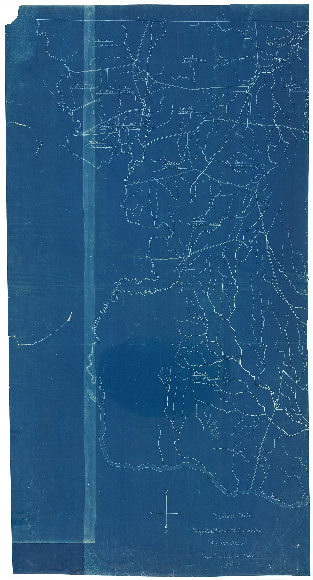
Plat of Pasture on the Apache, Kiowa, and Comanche Reservation
Department of the Interior, Bureau of Indian Affairs · 1900
A 1900 government survey map of the reservation lands assigned to Quanah Parker's Kwahadi Comanche band, including Fort Sill.
Maps the reservation land where Quanah Parker's Kwahadi Comanche band lived after settling at Fort Sill.
About this source
What it is
This is a land plat made around 1900 by the Department of the Interior, Bureau of Indian Affairs. It maps pastures, creeks, and boundaries on the Apache, Kiowa, and Comanche Reservation, and also shows the Fort Sill Military Reservation.
Why it matters
This map shows the land where Quanah Parker and his Kwahadi Comanche band were settled after their resistance ended. Official maps like this reveal how the U.S. government organized and divided Native lands, often without full input from the people living there.
Look closer
- What details does this map choose to label, and what does it leave out?
- Why might the government have needed such a detailed pasture map?
- How does a map like this shape how we understand the land Native nations were confined to?
This document is part of the curated material that grounds the AI version of Quanah Parker on Humy.ai — when students ask about related events, the AI can quote it and cite it.
More Quanah Parker sources
Browse all 53 →Primary source
Lone Wolf v. Hitchcock
U.S. Supreme Court · 1903
 Photograph
Primary source
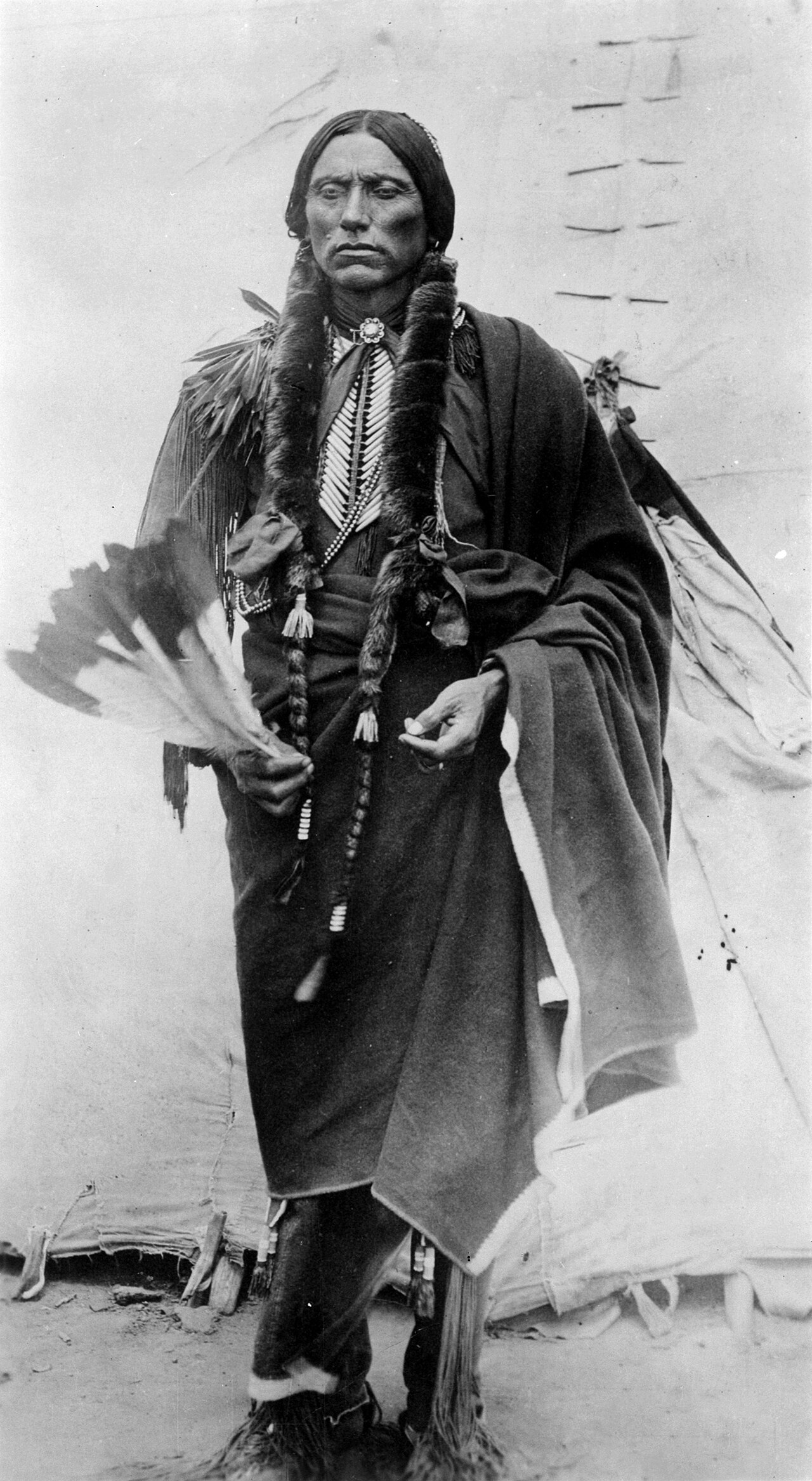
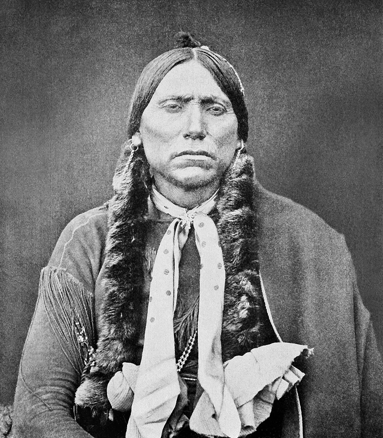
Chief Quanah Parker of the Kwahadi Comanche
 Document
Primary source
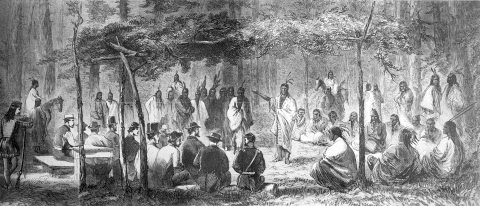
Medicine Lodge Treaty
October 1867
Secondary source
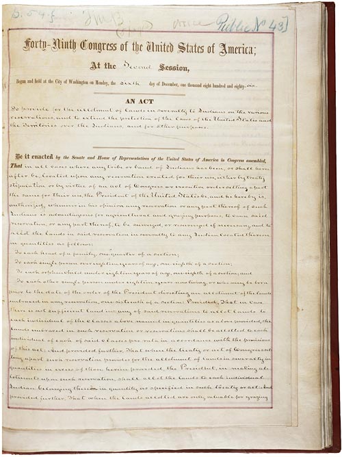
Nine Years Among the Indians, 1870–1879
Herman Lehmann · 1927
Free account
Read every Quanah Parker source
Sign up free →
Ready when you are
Start chatting with Quanah Parker now.
20 messages free · No credit card · Available in 50+ languages.