


Secondary sourceDocument1992
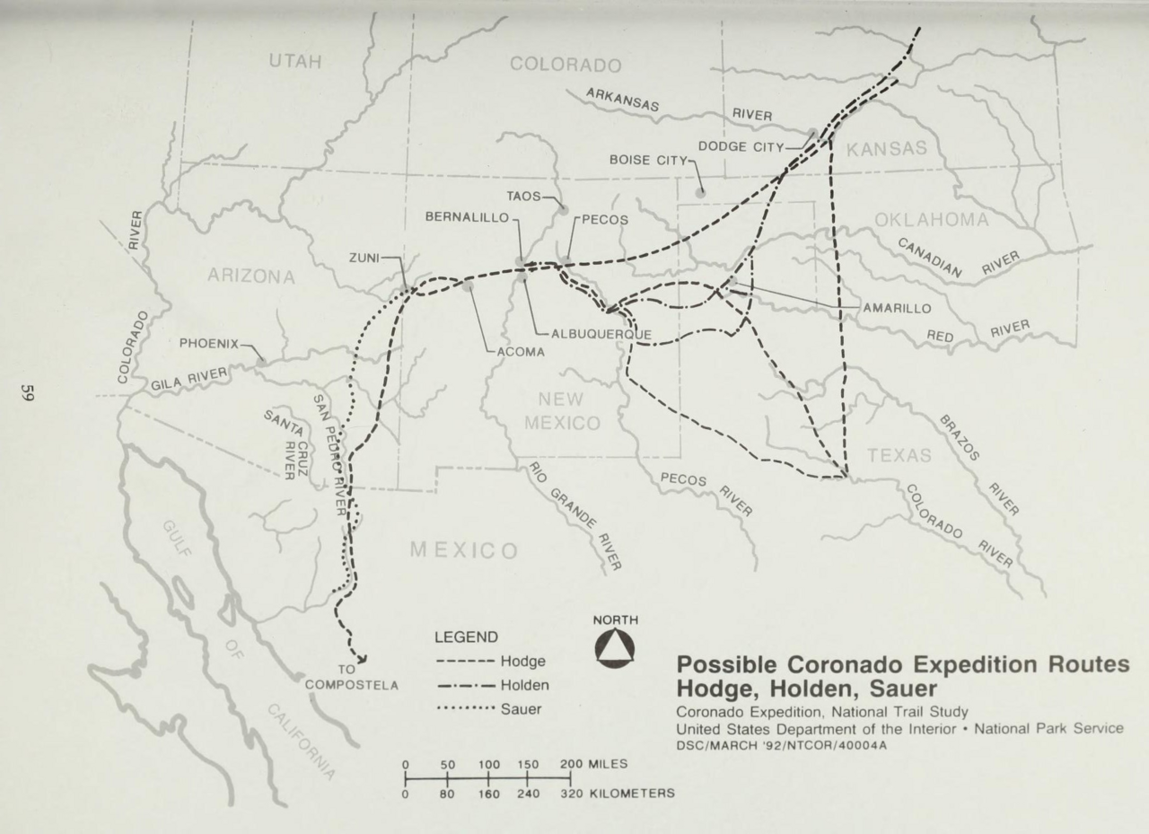
Possible Coronado Expedition Routes (Hodge, Holden, Sauer)
National Park Service · 1992
A modern map comparing three historians' theories about the route Coronado's expedition took through the Southwest.
A modern scholarly map reconstructing possible routes of Coronado's famous expedition through the Southwest.
About this source
What it is
This is a modern map made by the National Park Service in 1992. It shows three different possible routes for the Coronado expedition, as proposed by three scholars: Hodge, Holden, and Sauer. The routes run from Mexico through Arizona and New Mexico to Kansas and Texas.
Why it matters
Historians do not always agree on exactly where Coronado and his expedition traveled, since the original records are not precise enough to pin down an exact path. This map shows how different experts have interpreted the same evidence in different ways, which is a normal part of historical research.
Look closer
- Why might three historians draw three different routes using the same old records?
- What kinds of evidence might a historian use to guess where an expedition traveled centuries ago?
- What does this map leave out about the people and places the expedition actually encountered?
This document is part of the curated material that grounds the AI version of Francisco Vázquez de Coronado on Humy.ai — when students ask about related events, the AI can quote it and cite it.
More Francisco Vázquez de Coronado sources
Browse all 52 →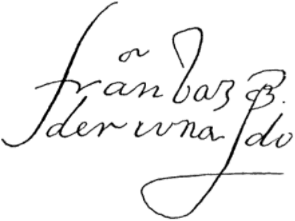 Document
Primary source
Signature of Francisco Vázquez de Coronado
Francisco Vázquez de Coronado
Primary source
Relación de la jornada de Cíbola
Pedro de Castañeda de Nájera · c. 1560s (surviving copy 1596)
Primary source
Letter of Viceroy Antonio de Mendoza to Charles V
Antonio de Mendoza · 17 April 1540
 Book
Secondary source
Relación de los naufragios y comentarios
Álvar Núñez Cabeza de Vaca · 1906 edition (text from the 16th century)

Free account
Read every Francisco Vázquez de Coronado source
Sign up free →
Ready when you are
Start chatting with Francisco Vázquez de Coronado now.
20 messages free · No credit card · Available in 50+ languages.