


Primary sourceDocument1916
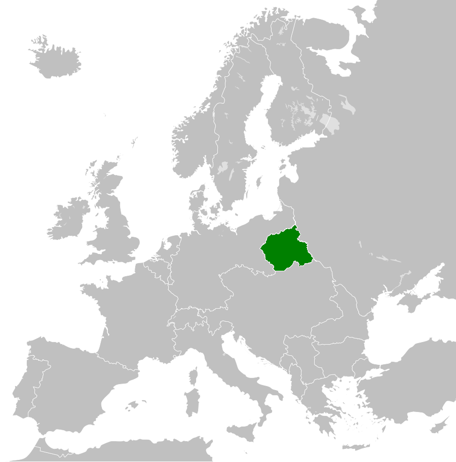
Proclamation of the Kingdom of Poland
1916
A puppet state proclaimed by Germany and Austria-Hungary in 1916, whose territory later became the core of the independent Poland Piłsudski helped found.
As Commander-in-Chief, Piłsudski used this puppet-state territory as the base for proclaiming Poland's independence to the world.
About this source
What it is
This map shows the Kingdom of Poland, a state proclaimed by the German and Austro-Hungarian empires in 1916 on lands taken from Russia during the First World War. It was meant to be a dependent buffer state, not a free country.
Why it matters
Although created by foreign powers for their own purposes, this territory became the foundation of the independent Second Polish Republic after the war ended. Józef Piłsudski, as Commander-in-Chief, announced Poland's rebirth as an independent state to the governments of the world, turning this puppet territory into the basis of real Polish sovereignty.
Look closer
- Why would Germany and Austria-Hungary want to create a 'Polish' state at all?
- What does the map's borders tell you about who controlled Poland's fate in 1916?
- How might a state built by occupying powers later break free from their control?
This document is part of the curated material that grounds the AI version of Józef Piłsudski on Humy.ai — when students ask about related events, the AI can quote it and cite it.
More Józef Piłsudski sources
Browse all 98 →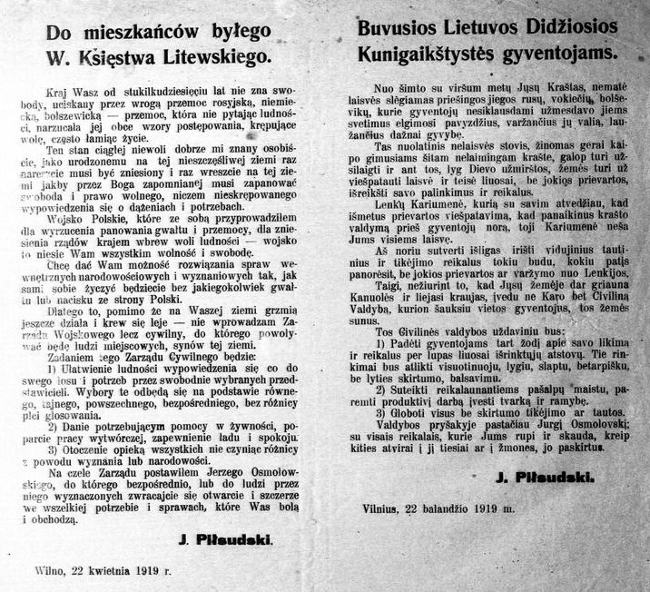 Document
Primary source
Proclamation to the Inhabitants of the Former Grand Duchy of Lithuania
Józef Piłsudski · 22 April 1919
 Photograph
Primary source
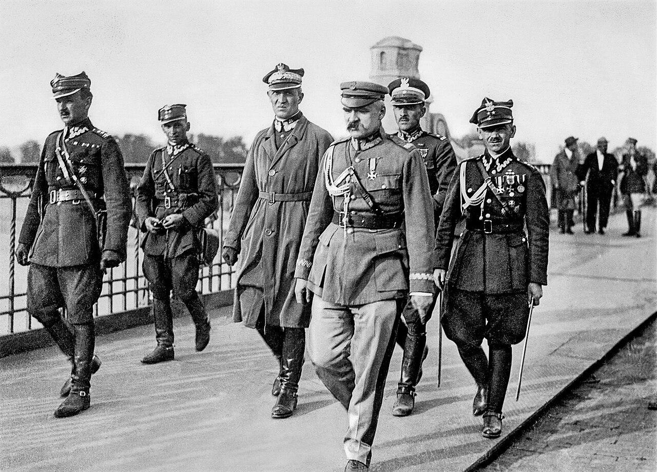
Piłsudski on the Poniatowski Bridge, May 1926
Marian Fuks · May 1926
Primary source
Recording of the Voice of Józef Piłsudski
Józef Piłsudski · 1924
Primary source
In Case of Sudden Death - Marshal Piłsudski's Will
Józef Piłsudski · 1935
Free account
Read every Józef Piłsudski source
Sign up free →
Ready when you are
Start chatting with Józef Piłsudski now.
20 messages free · No credit card · Available in 50+ languages.