


Secondary sourceDocument1930
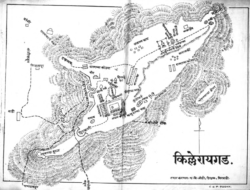
Raigad Fort Map
Unknown · 1930
A 1930 hand-drawn map of Raigad Fort, the site where Shivaji was crowned king in 1674.
A map of Raigad Fort, the capital and coronation site of Shivaji.
About this source
What it is
This is a hand-drawn map, made in 1930, showing the layout of Raigad Fort, with locations labelled in Devanagari script and credited to a teacher from Birwadi.
Why it matters
Raigad was the fort where Shivaji was crowned in 1674 and served as his capital. Though made long after his reign, this map helps students understand the geography of the site central to his rule.
Look closer
- What features of the fort does the map highlight, and what might it leave out?
- Why might a local teacher have made this map in 1930?
- How does a map differ from a photograph as a way of understanding a historical site?
This document is part of the curated material that grounds the AI version of Shivaji on Humy.ai — when students ask about related events, the AI can quote it and cite it.
More Shivaji sources
Browse all 40 →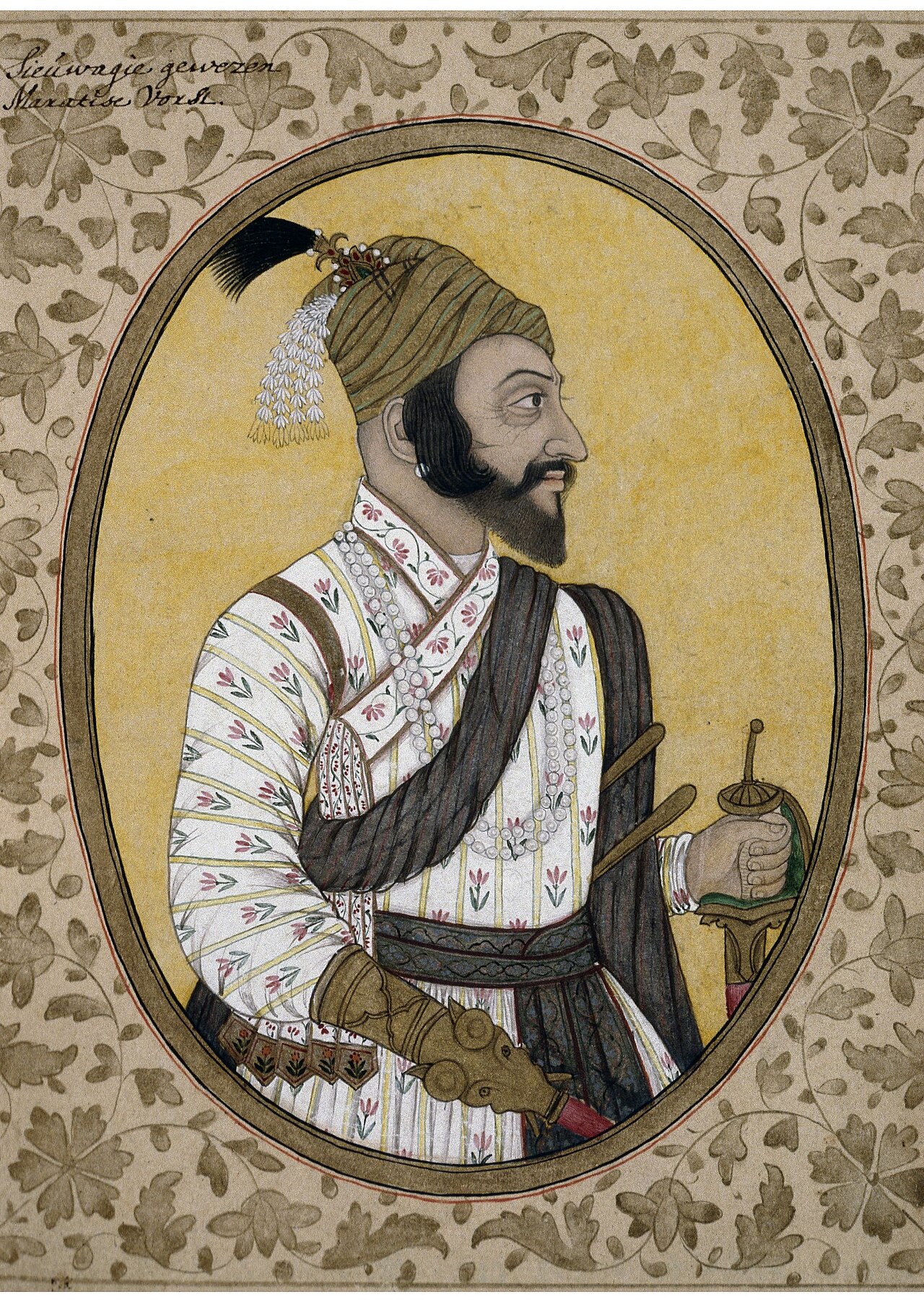 Painting
Primary source
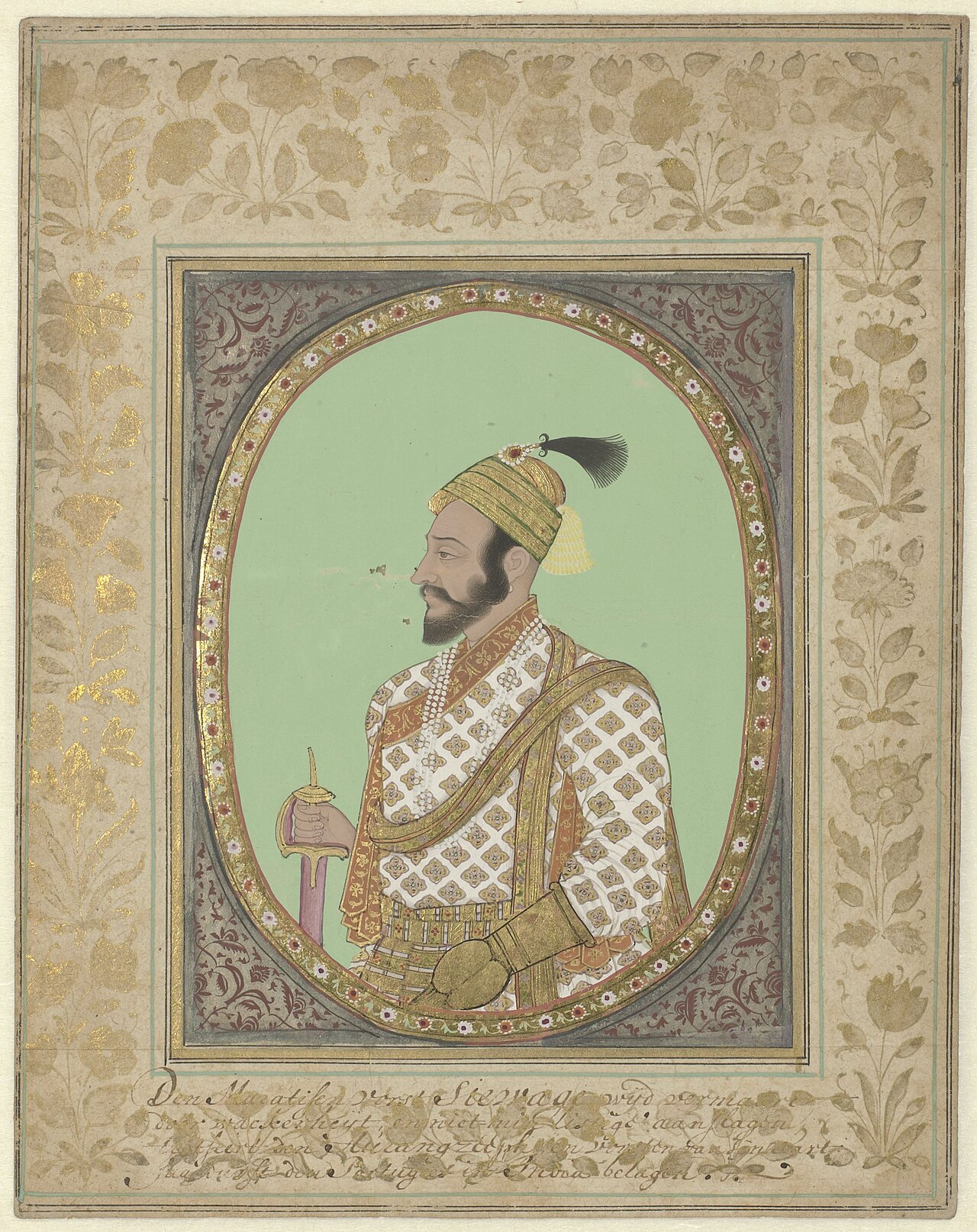
Portrait of Shivaji
Unknown Deccani/Golconda-school artist · 17th century
 Artifact
Primary source
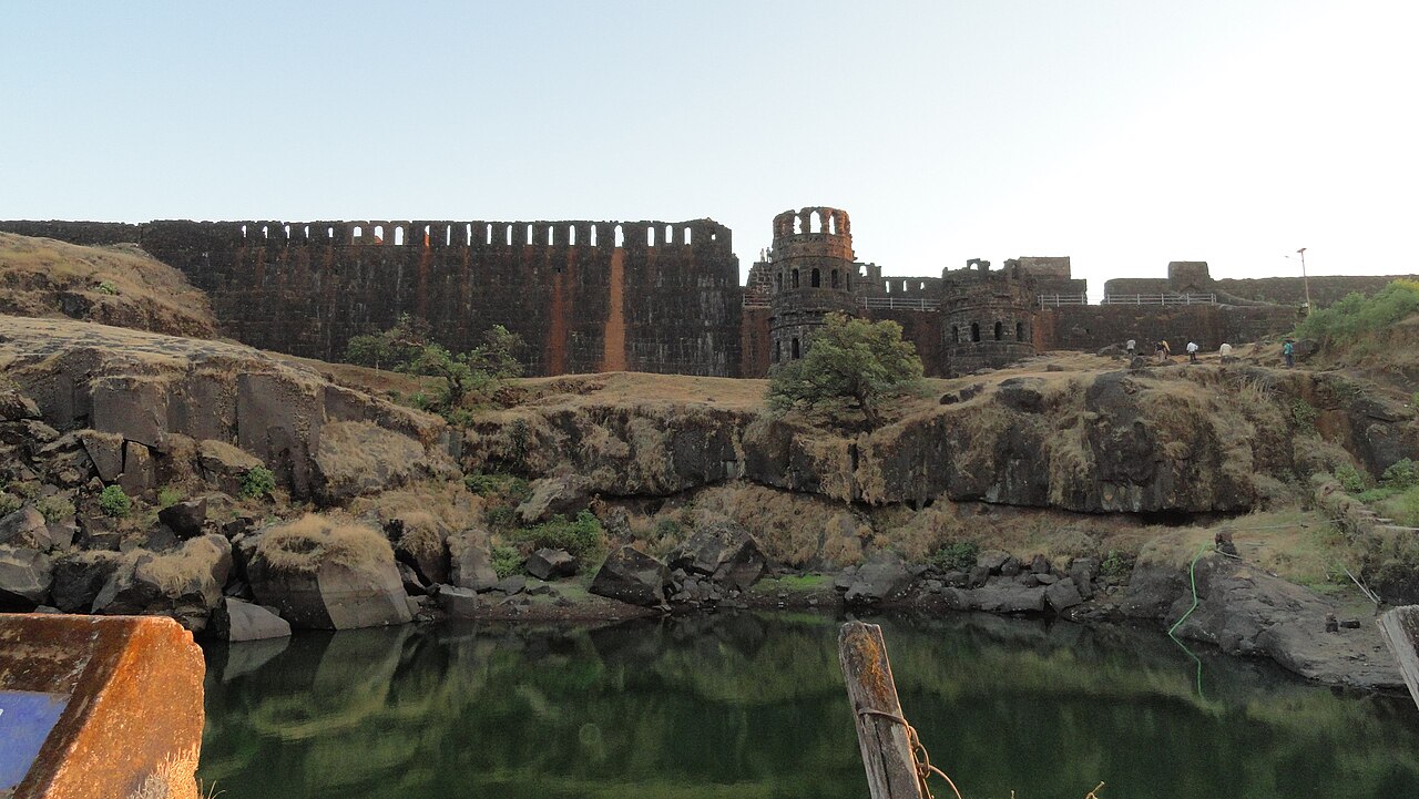
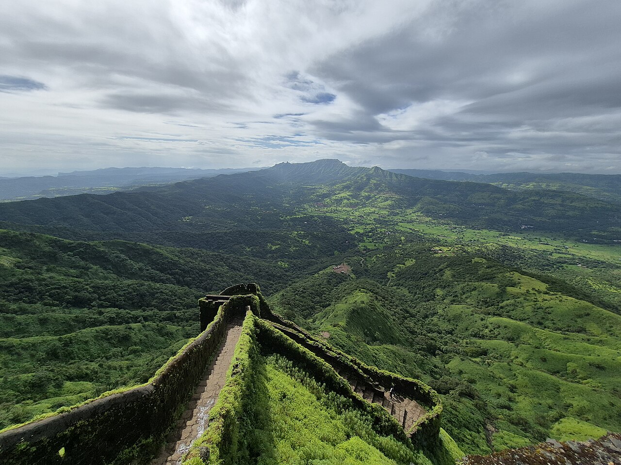
Raigad Fort
Hiroji Indulkar · 1656–1674
 Artifact
Primary source
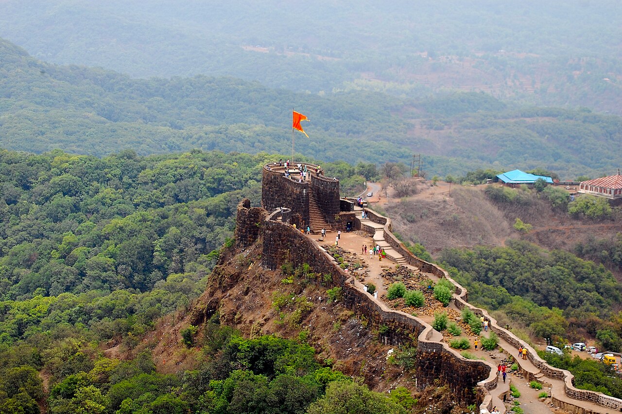
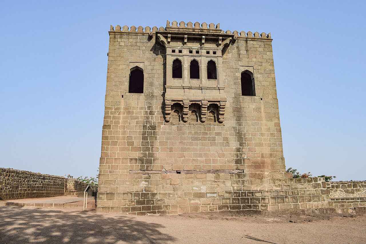
Pratapgad Fort
Moropant Trimbak Pingle (for Shivaji) · 1656
 Artifact
Primary source
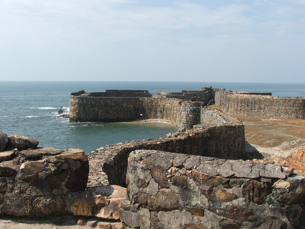
Sindhudurg Fort
Shivaji · 1664–1667
Free account
Read every Shivaji source
Sign up free →
Ready when you are
Start chatting with Shivaji now.
20 messages free · No credit card · Available in 50+ languages.