


Secondary sourceDocument1930
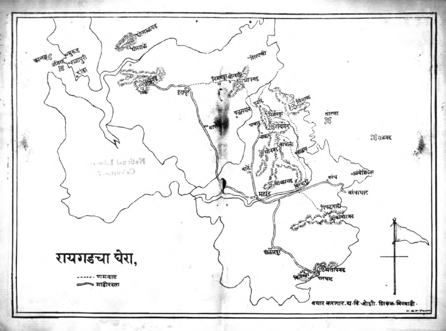
Raigad Region Map
Unknown · 1930
A 1930 hand-drawn map of the area around Raigad Fort, the capital of Shivaji's kingdom.
This later map shows the landscape around Raigad, the capital Shivaji established for his kingdom.
About this source
What it is
This is a hand-drawn black-and-white map from 1930, titled in Marathi 'रायगडचा घेरा' (Raigad region). It shows hills, rivers, roads and place names around Raigad Fort, with a legend marking footpaths and motor roads.
Why it matters
Raigad was the capital of Shivaji's Maratha kingdom. This later map helps show the landscape and geography surrounding the fort, giving students a sense of the terrain that made Raigad a strong and defensible capital.
Look closer
- What details does the mapmaker choose to include, and what do they leave out?
- How might the hilly terrain shown here have affected travel and defense in Shivaji's time?
- Why might someone in 1930 have wanted to map this historic site?
This document is part of the curated material that grounds the AI version of Shivaji on Humy.ai — when students ask about related events, the AI can quote it and cite it.
More Shivaji sources
Browse all 40 →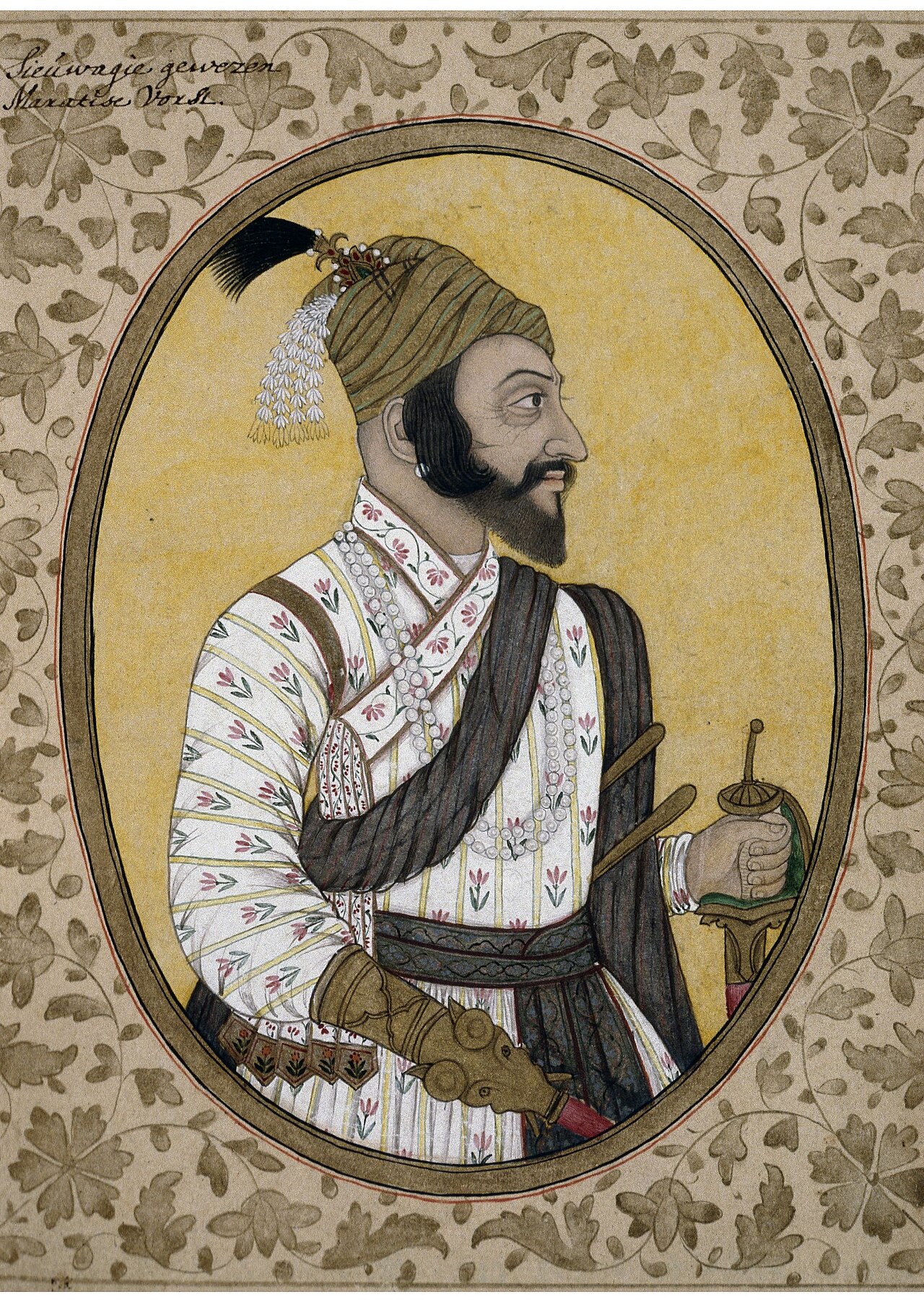 Painting
Primary source
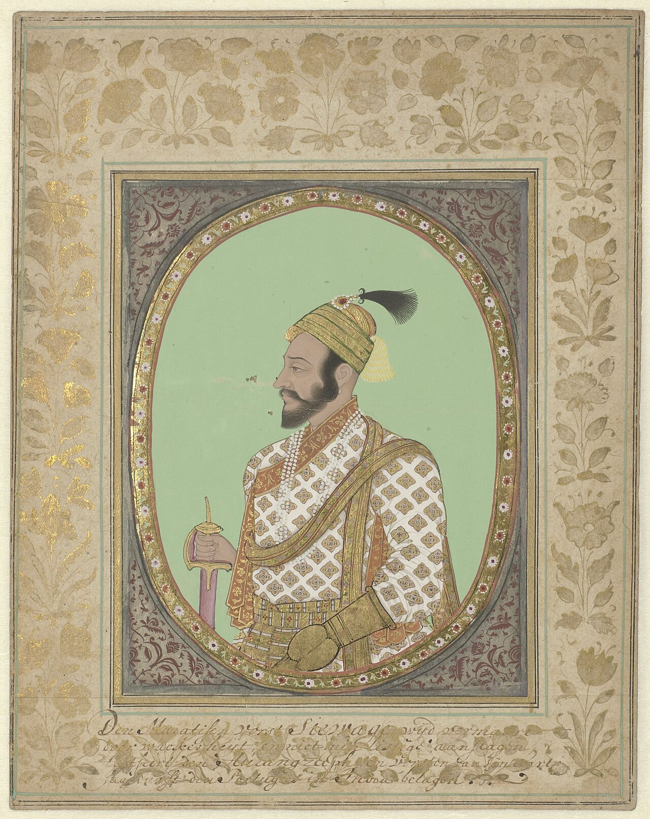
Portrait of Shivaji
Unknown Deccani/Golconda-school artist · 17th century
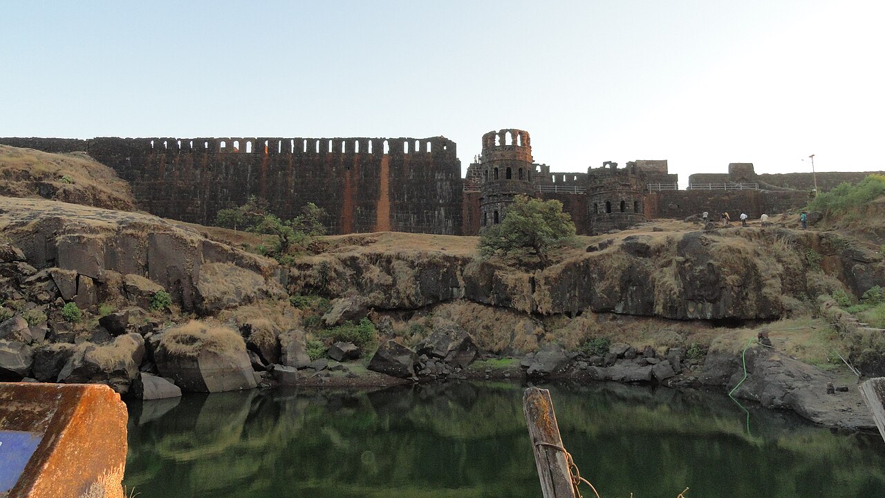 Artifact
Primary source
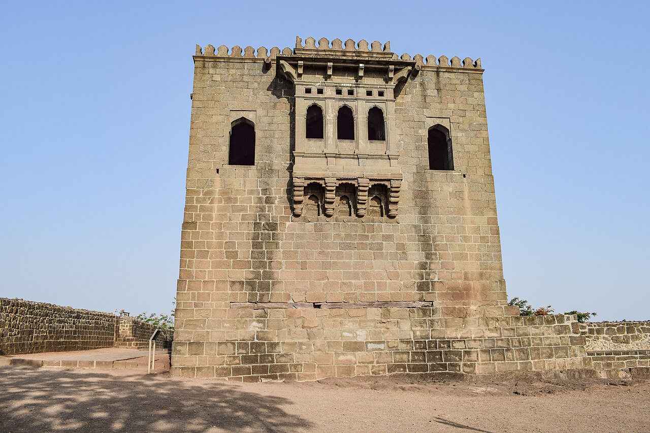
Raigad Fort
Hiroji Indulkar · 1656–1674
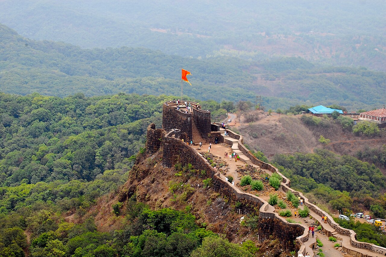 Artifact
Primary source
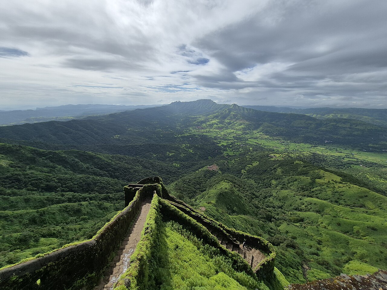
Pratapgad Fort
Moropant Trimbak Pingle (for Shivaji) · 1656
 Artifact
Primary source
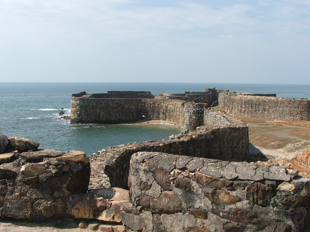
Sindhudurg Fort
Shivaji · 1664–1667
Free account
Read every Shivaji source
Sign up free →
Ready when you are
Start chatting with Shivaji now.
20 messages free · No credit card · Available in 50+ languages.